

The Locations
Mallorca 🇪🇸
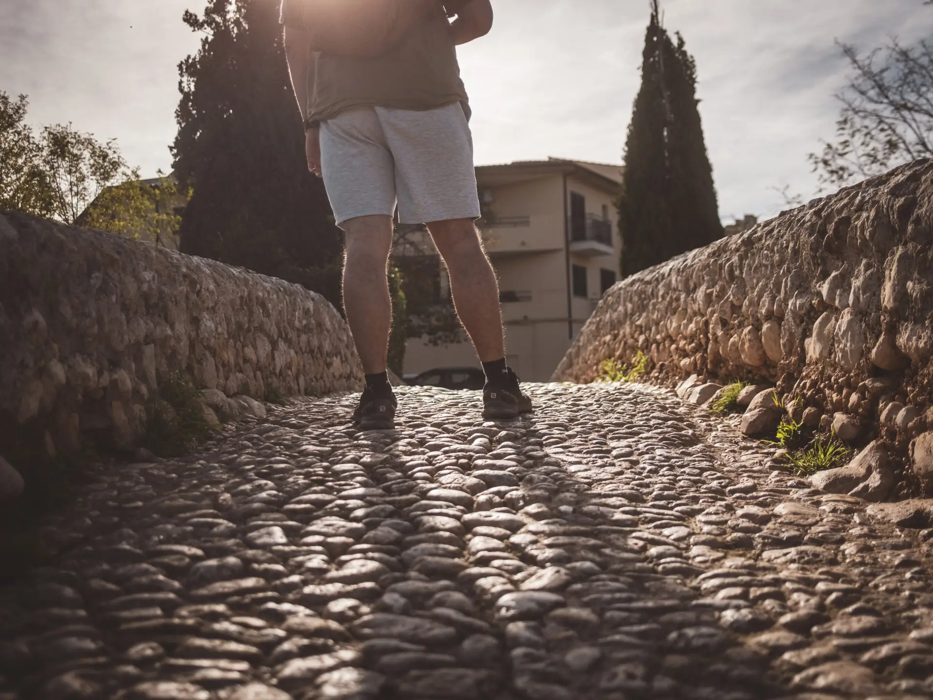
Mallorca is much more than just party tourism. Those who venture beyond the well-known beaches will quickly feel the island’s deep connection to its history.
From the prehistoric Talayot settlements to Roman and later Moorish rule, the reconquest by Jaume I, and its development under Franco’s dictatorship—every era has shaped the island in its own unique way.
Prehistory: The Talayot Culture
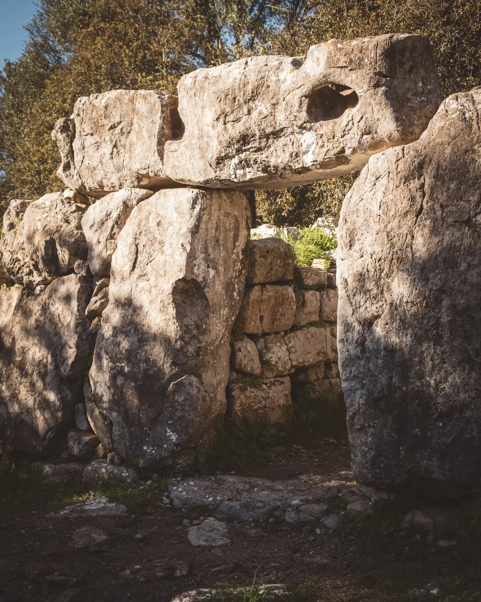
The Talayot Culture (c. 1300–800 BC) shaped the Bronze and early Iron Age of the Balearic Islands. Its most distinctive feature is the massive stone towers, known as Talayots, which likely served as watchtowers or meeting places. Additionally, there are remains of settlements and sanctuaries, some of which were built adjacent to these towers.
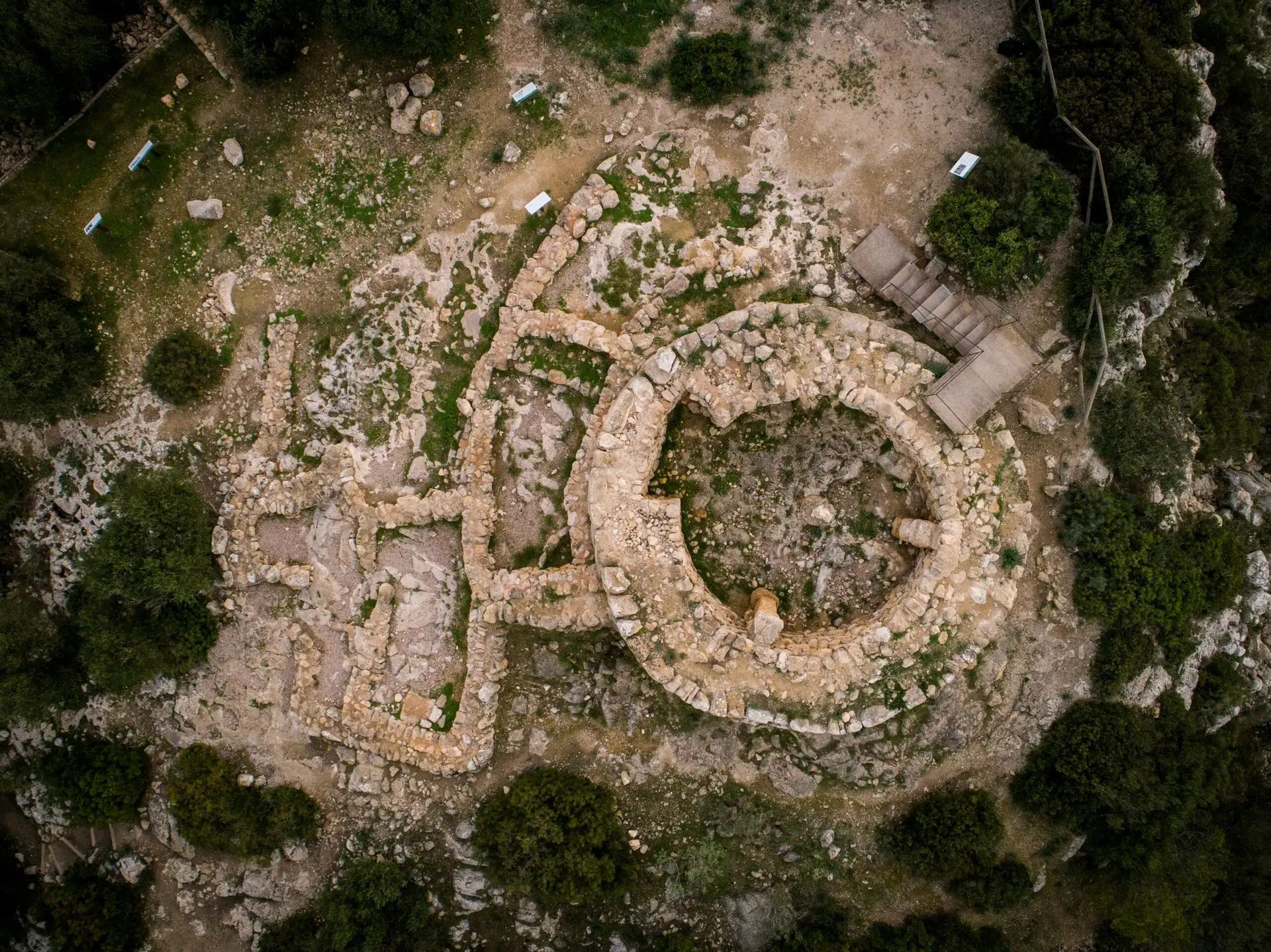
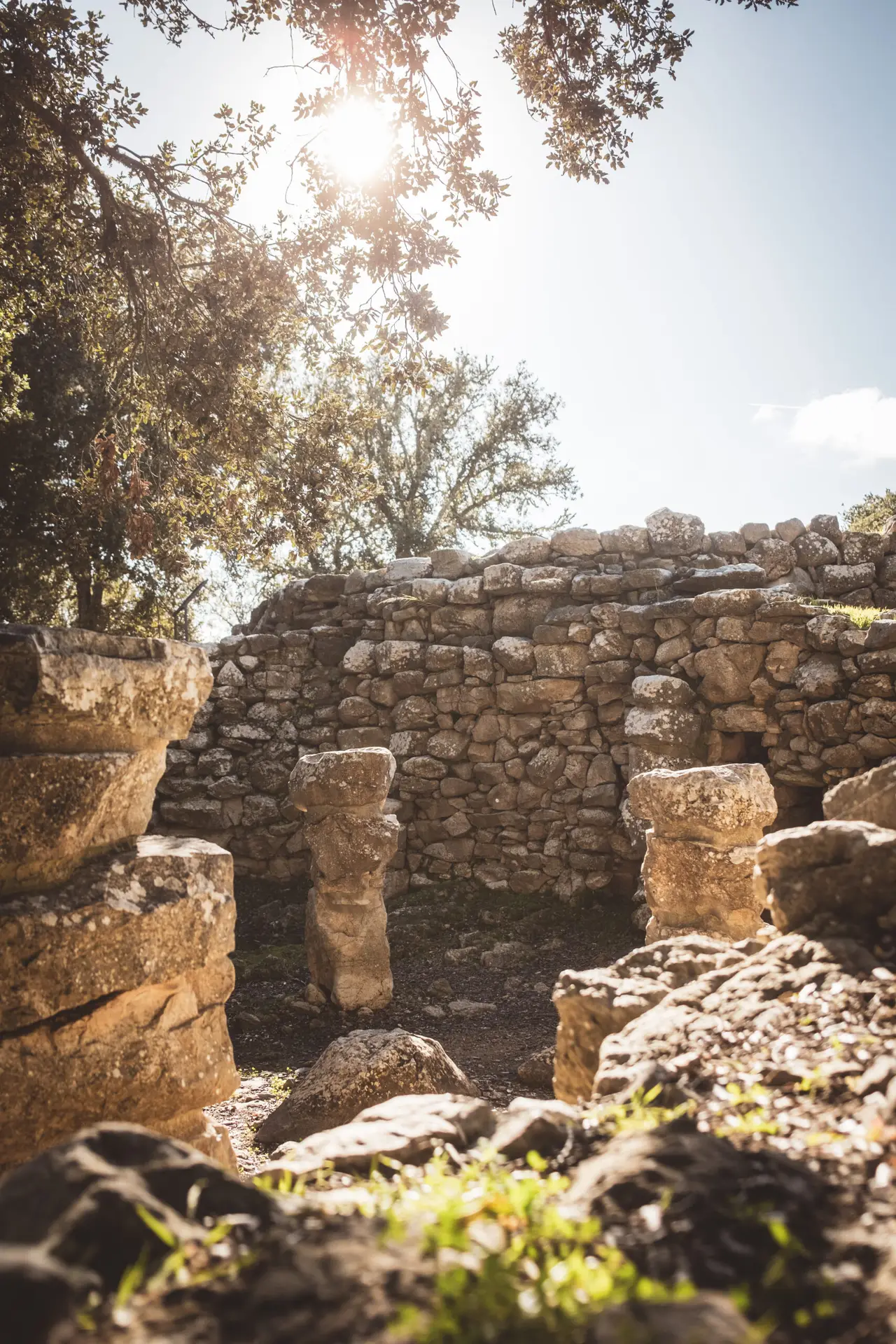
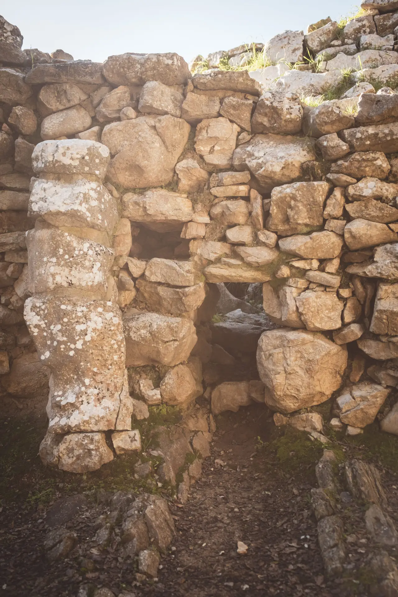
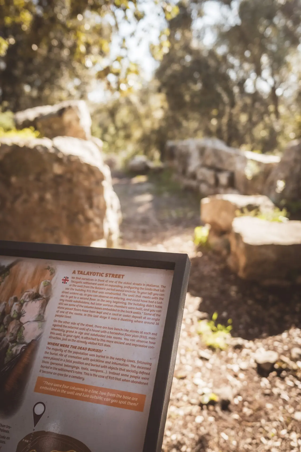
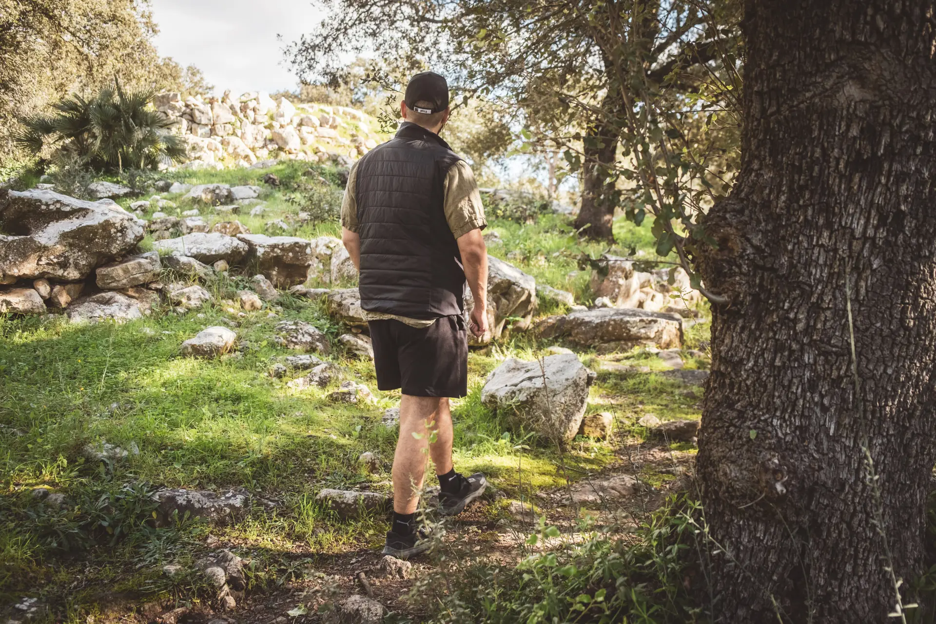
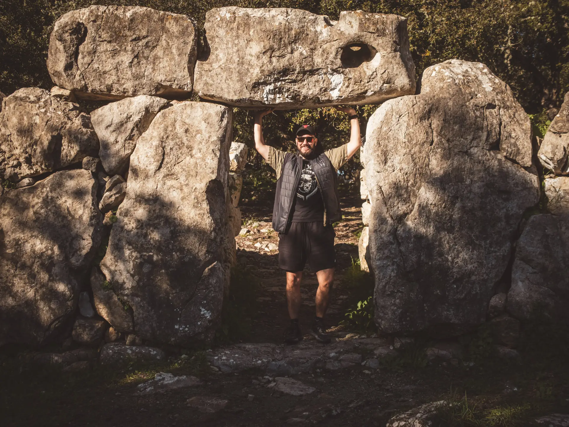
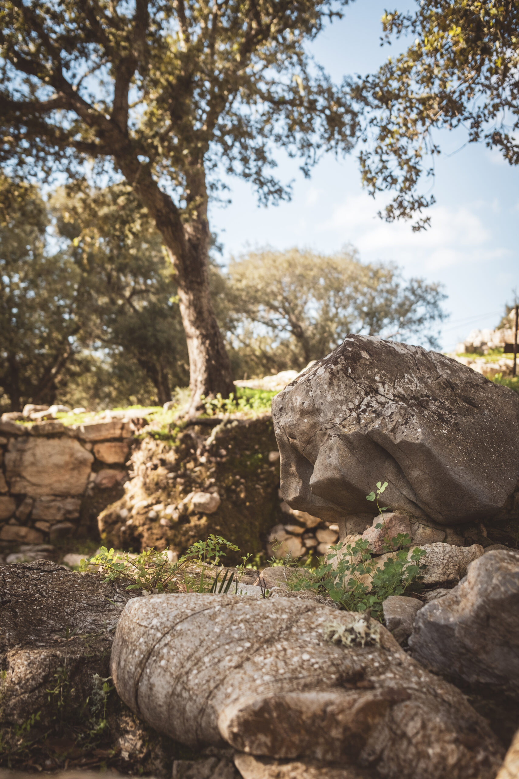
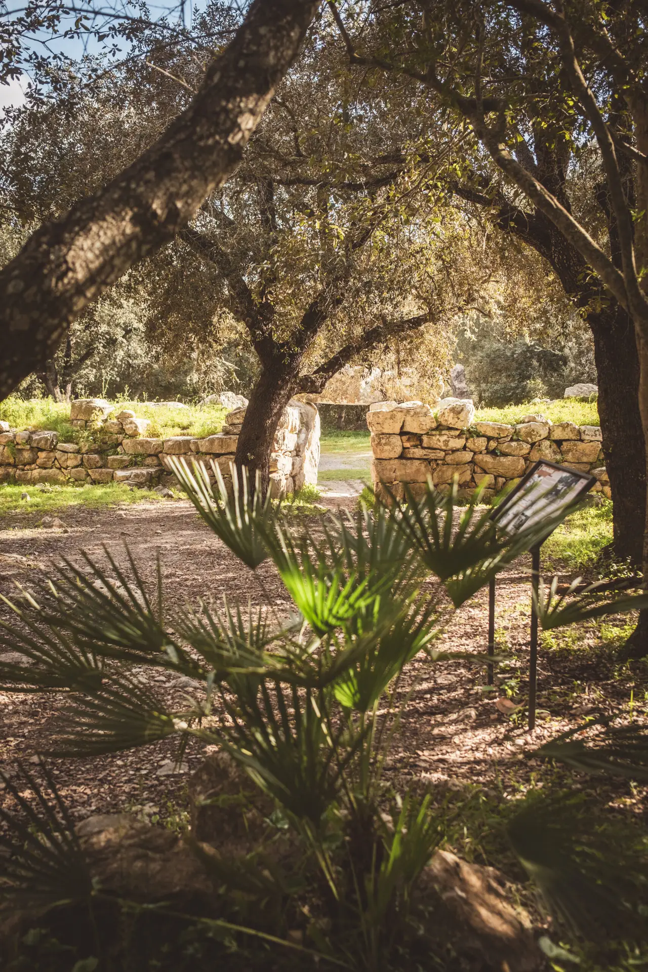
Ses Païsses
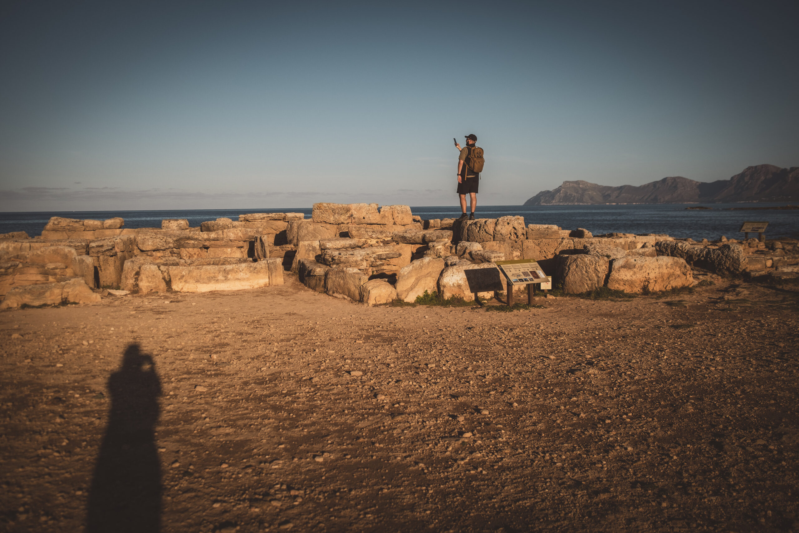
Ses Païsses is one of the best-preserved prehistoric settlements on Mallorca. Located near the town of Artà, the settlement was surrounded by a massive stone wall for protection. Inside, there are remains of dwellings, storage buildings, and a central Talayot—a tower-like structure that likely served as a meeting place or watchtower.
How to get there?
- Ses Païsses on Google Maps,
Coordinates: 39°41’14.4″N 3°21’18.1″E
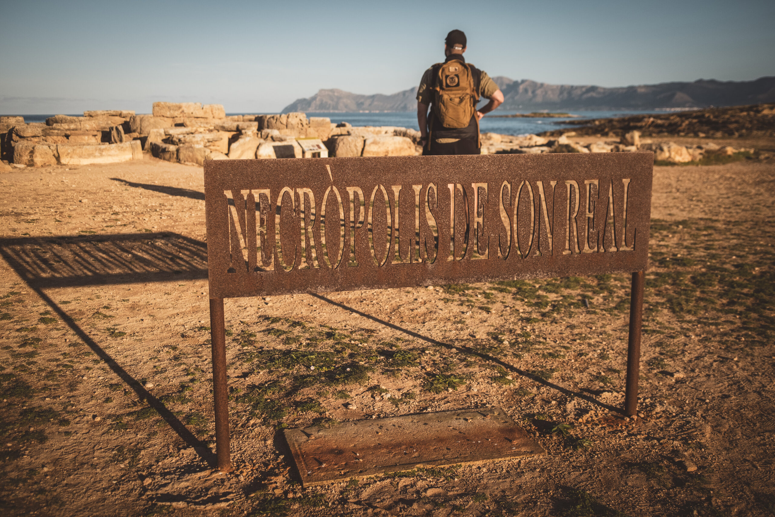
Necropolis
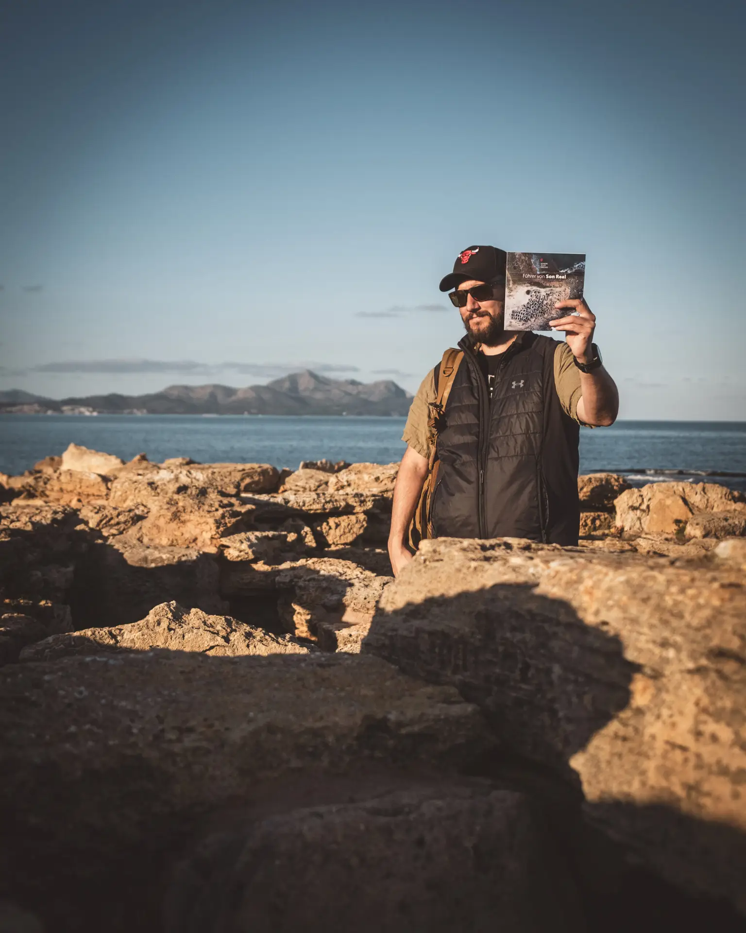
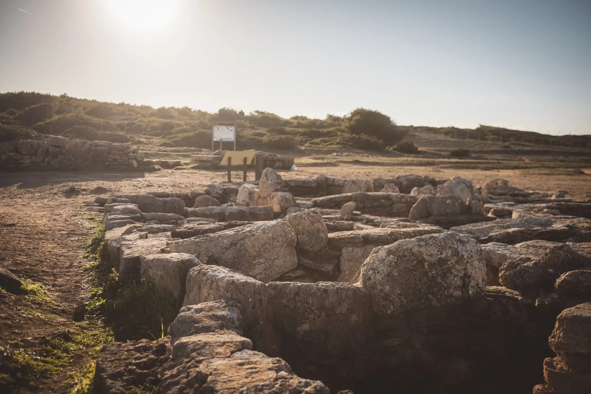
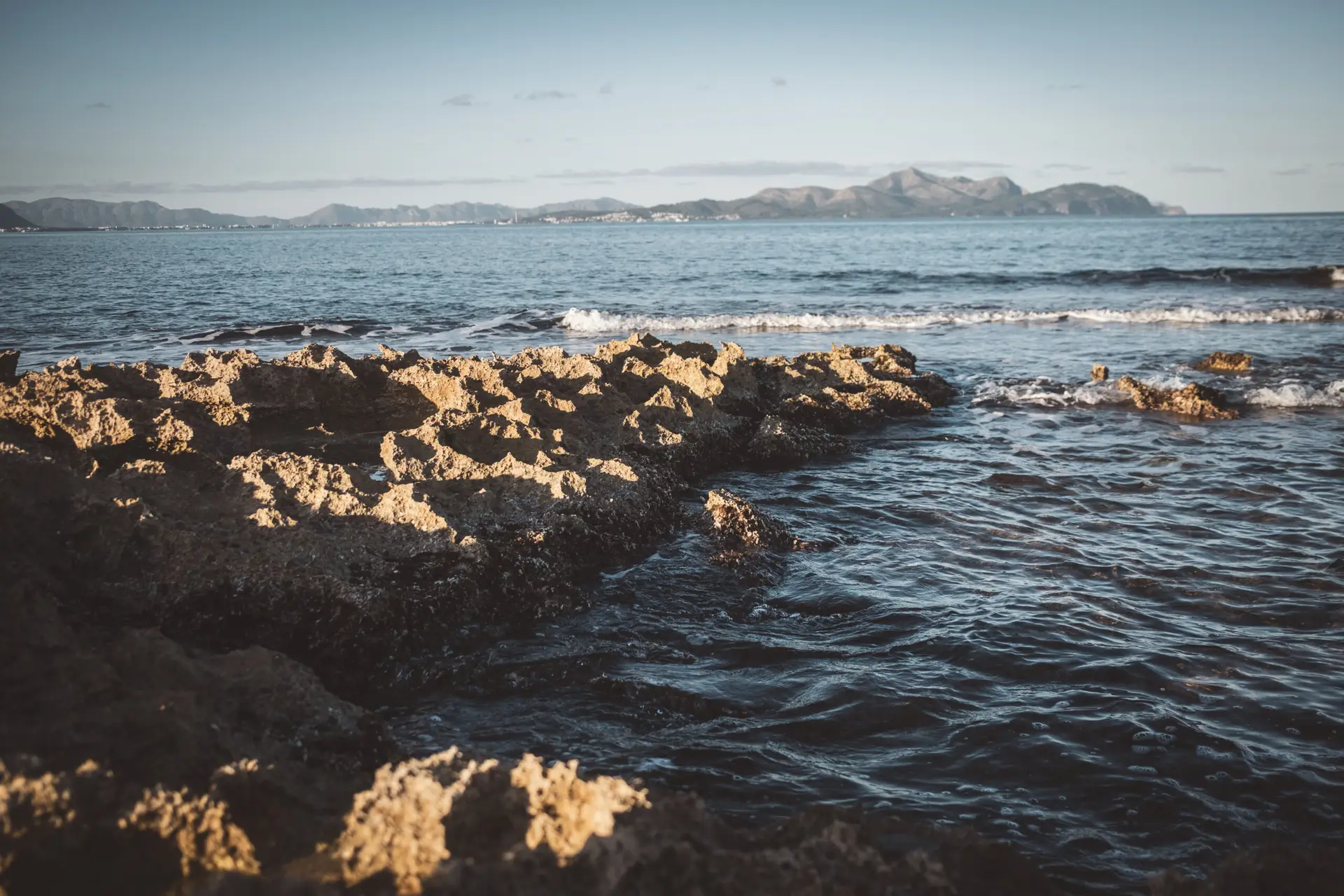
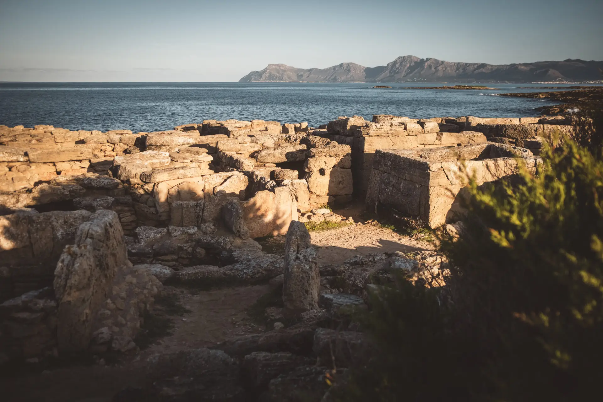
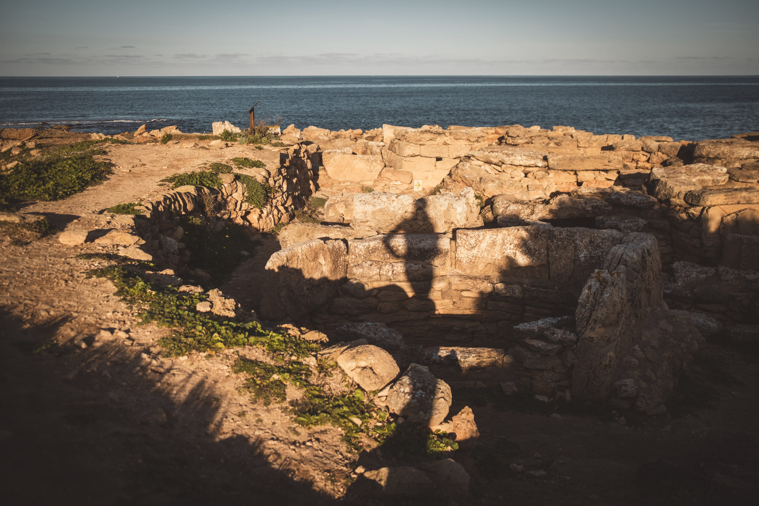
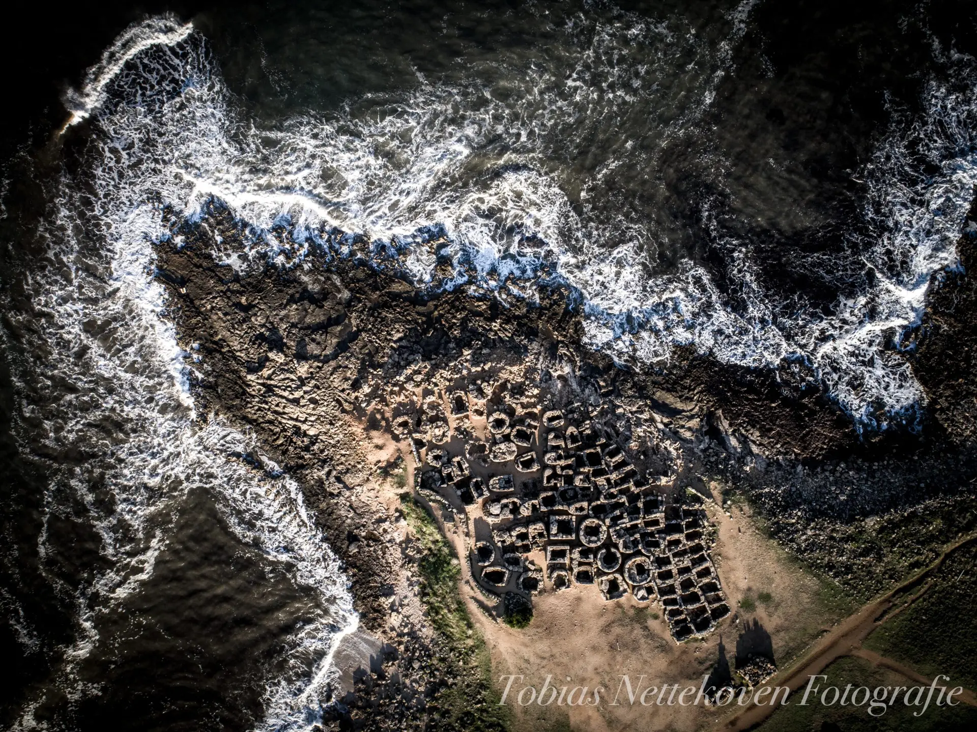
The Necropolis of Son Real is a prehistoric burial site located on the northern coast of Mallorca, near Can Picafort. Dating back to the Talayot period (c. 7th–4th century BC), it contains over 100 graves, arranged in small stone chambers. The dead were buried here in close connection to the sea, indicating the special significance of this site for the island’s ancient inhabitants.
How to get there?
- Son Real on Google Maps,
Coordinates: 39°45’18.9″N 3°10’55.8″E
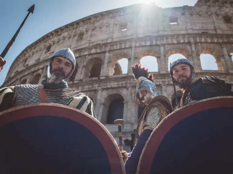
Antiquity: The Romans
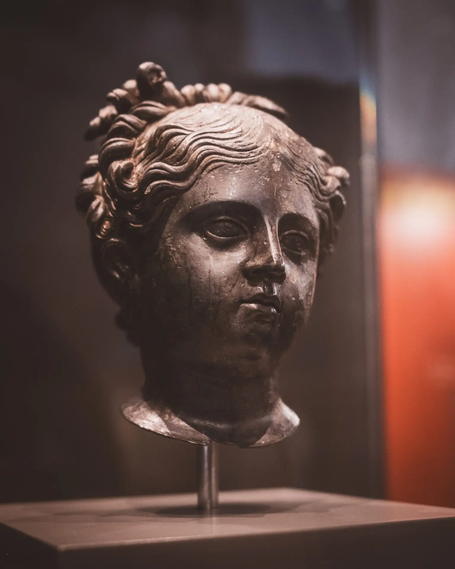
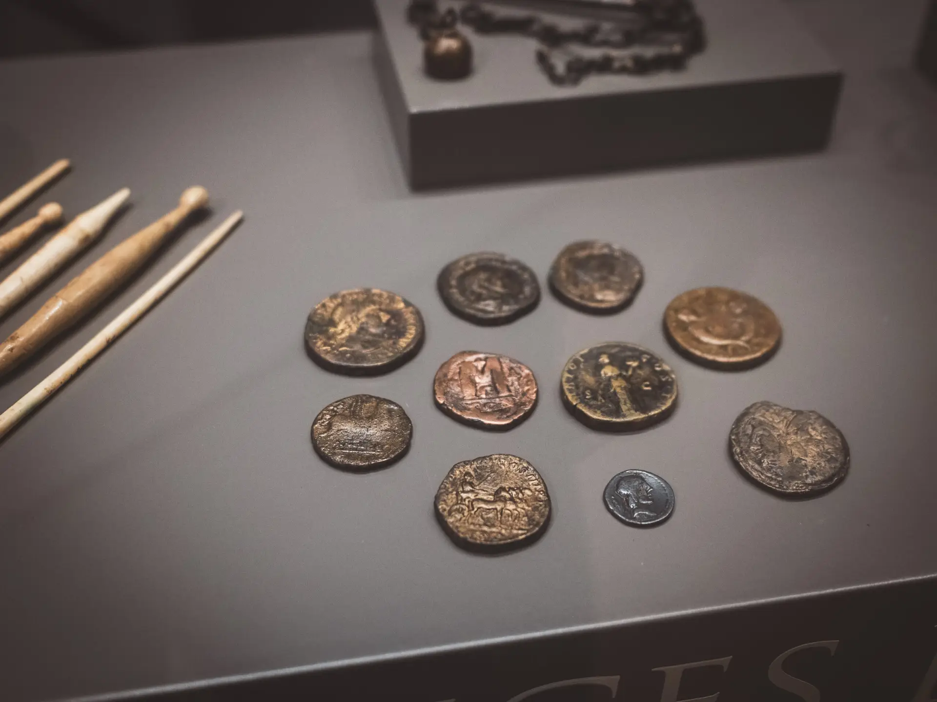
The Romans conquered Mallorca in 123 BC under Quintus Caecilius Metellus. They founded cities such as Pollentia (present-day Alcúdia), which became the island’s most important Roman center. Mallorca was part of the Roman province Hispania Citerior and served as a key stronghold in the western Mediterranean. Roman influence is evident in the island’s infrastructure, including roads, baths, and aqueducts, as well as in the introduction of viticulture and olive cultivation. Roman rule came to an end in the 5th century with the arrival of the Vandals.
Pollentia
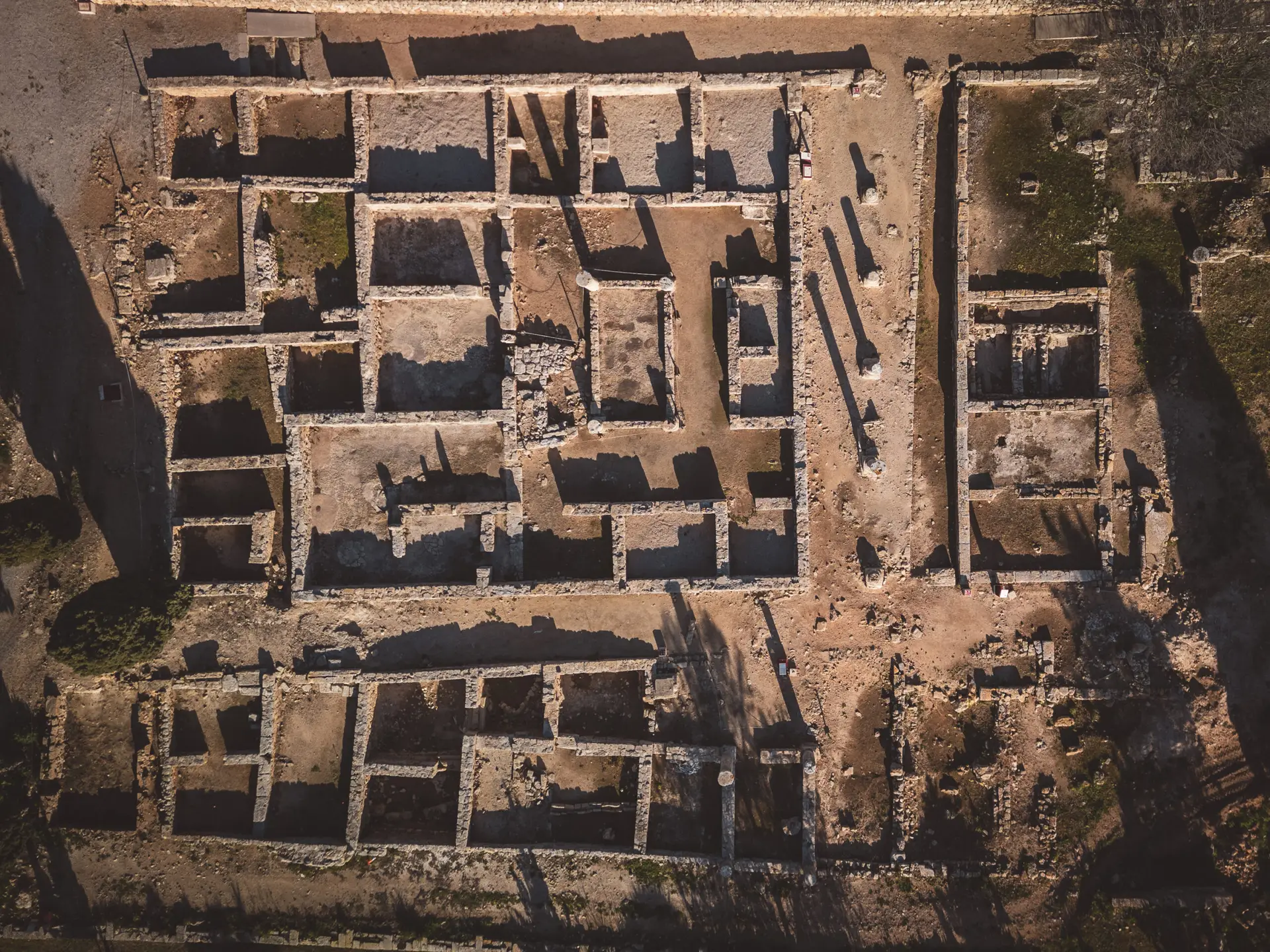
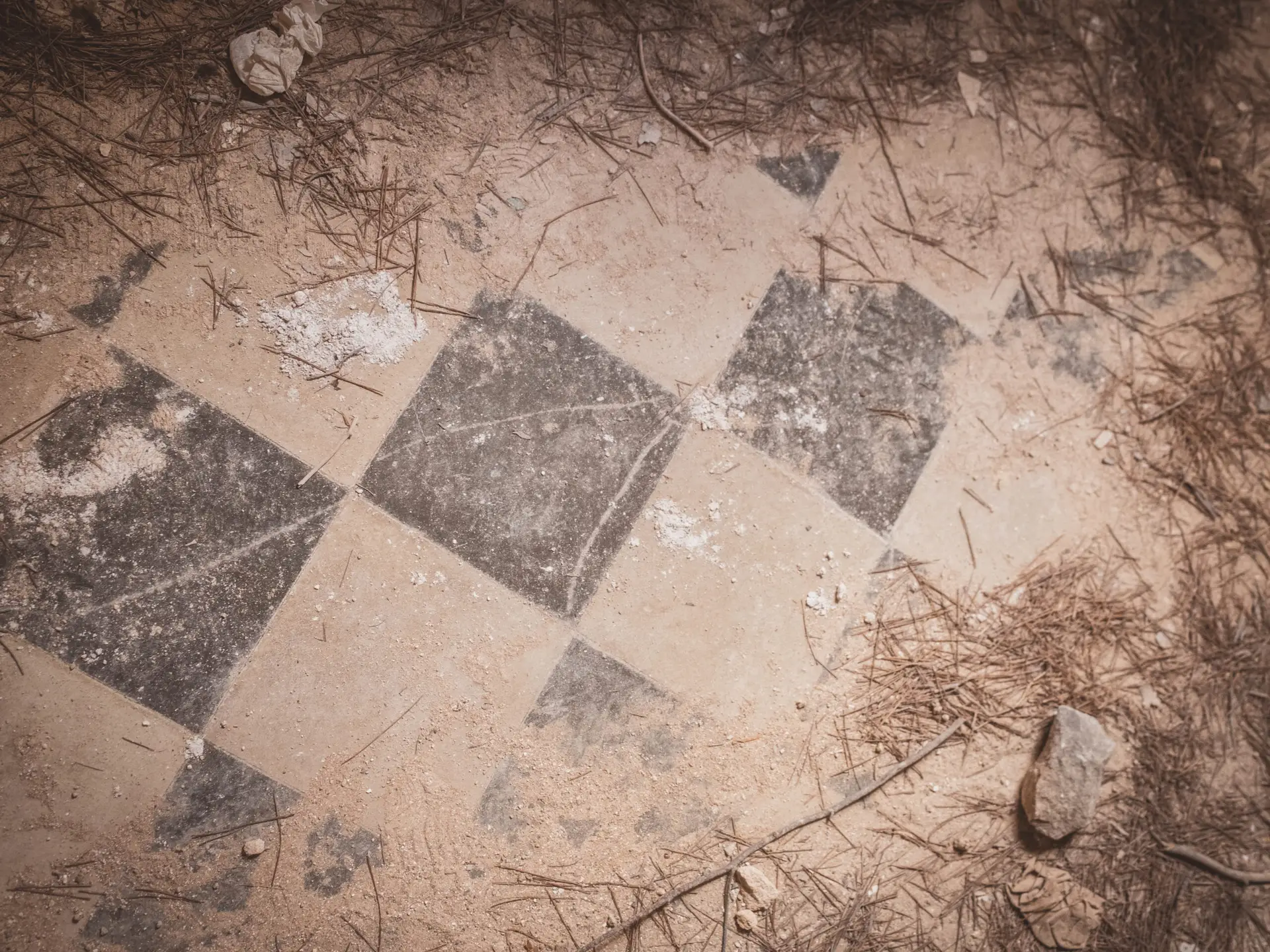
Pollentia is a significant Roman archaeological site near Alcúdia in northern Mallorca. Founded around 123 BC, it was the island’s most important Roman city. Well-preserved remains include a forum, a theater, and sections of residential buildings.
Mehr über Pollentia und die Römerzeit auf Mallorca findet ihr in einem eigenen Blogartikel: Pollentia – das römische Mallorca
How to get there?
- Pollentia on Google Maps,
Coordinates: 39°51’03.6″N 3°07’14.1″E
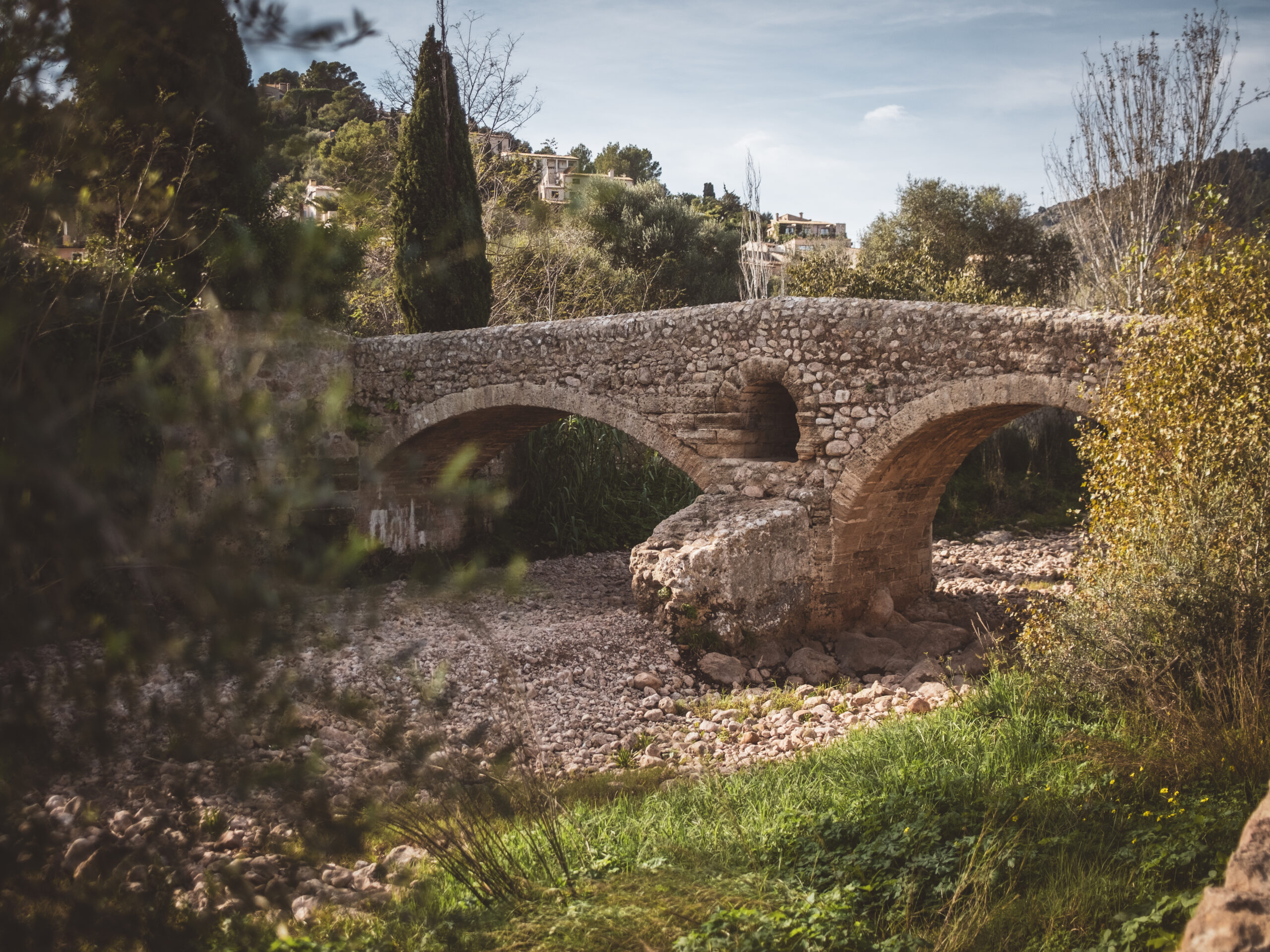
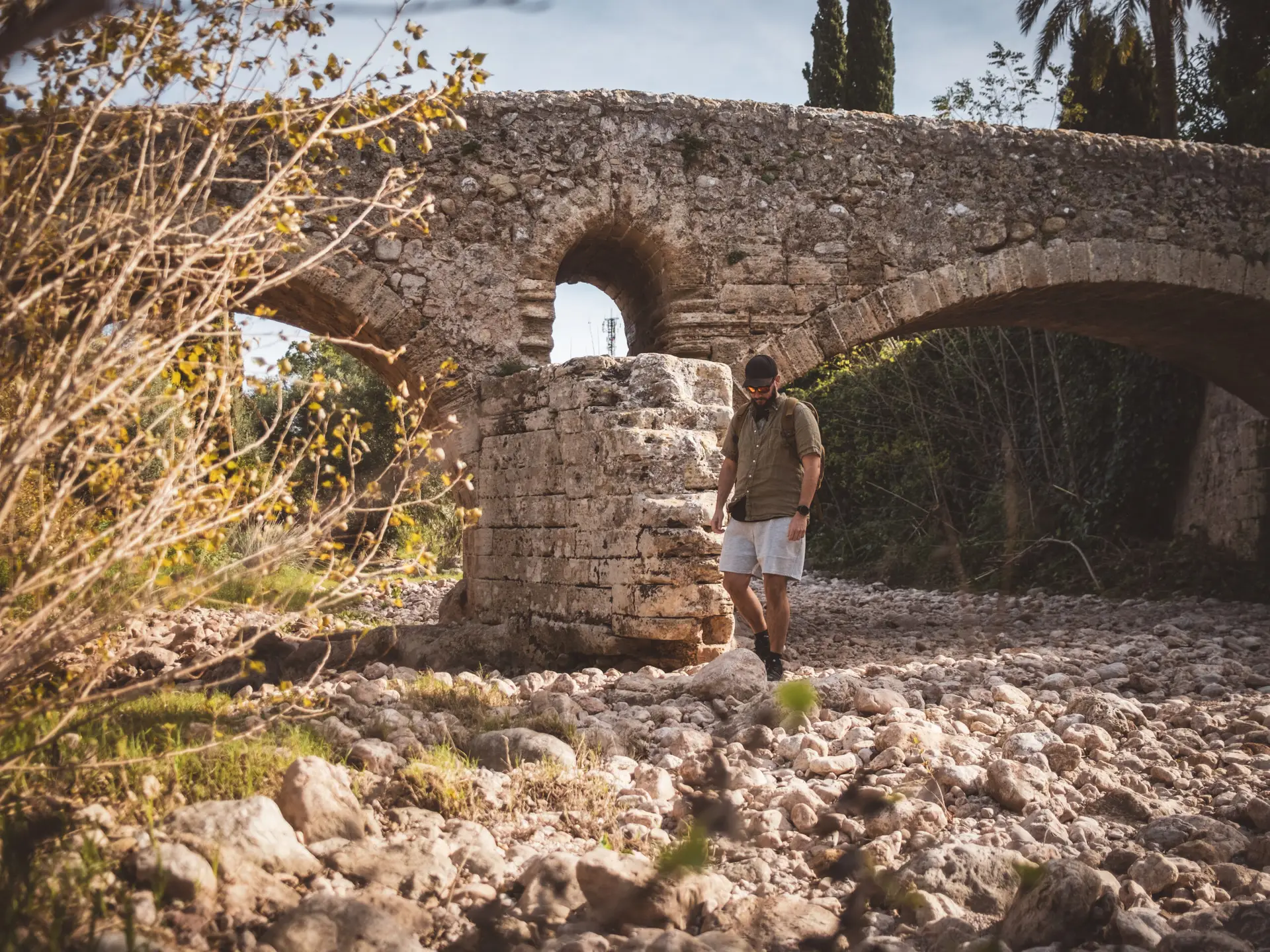
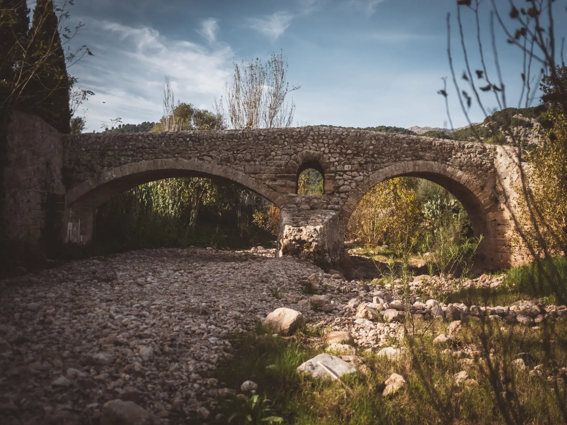
Pont Romà in Pollença
Despite its clear name, the origins of the 'Roman Bridge' remain disputed.
While its construction resembles Roman architecture, the town of Pollença was only founded in the Middle Ages. (Caution: Do not confuse it with the Roman city and archaeological site 'Pollentia,' located in present-day Alcúdia, just 16 km away.)
Regardless of its exact origins, the bridge is one of the oldest on Mallorca and remains in remarkably good condition.
How to get there?
- Pont Romà on Google Maps,
Coordinates: 39°52’57.7″N 3°00’54.4″E
Middle Ages: The Reconquista
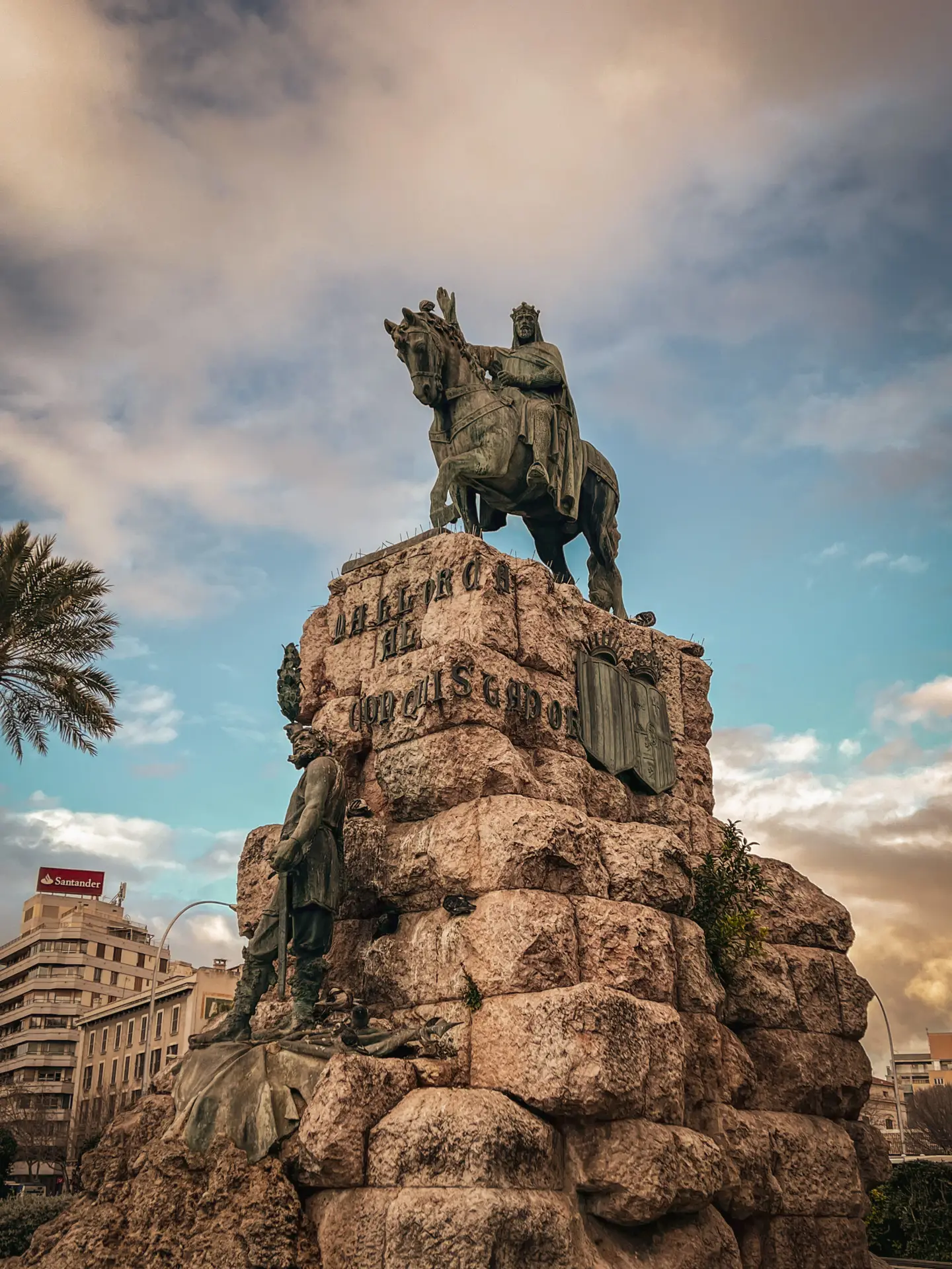
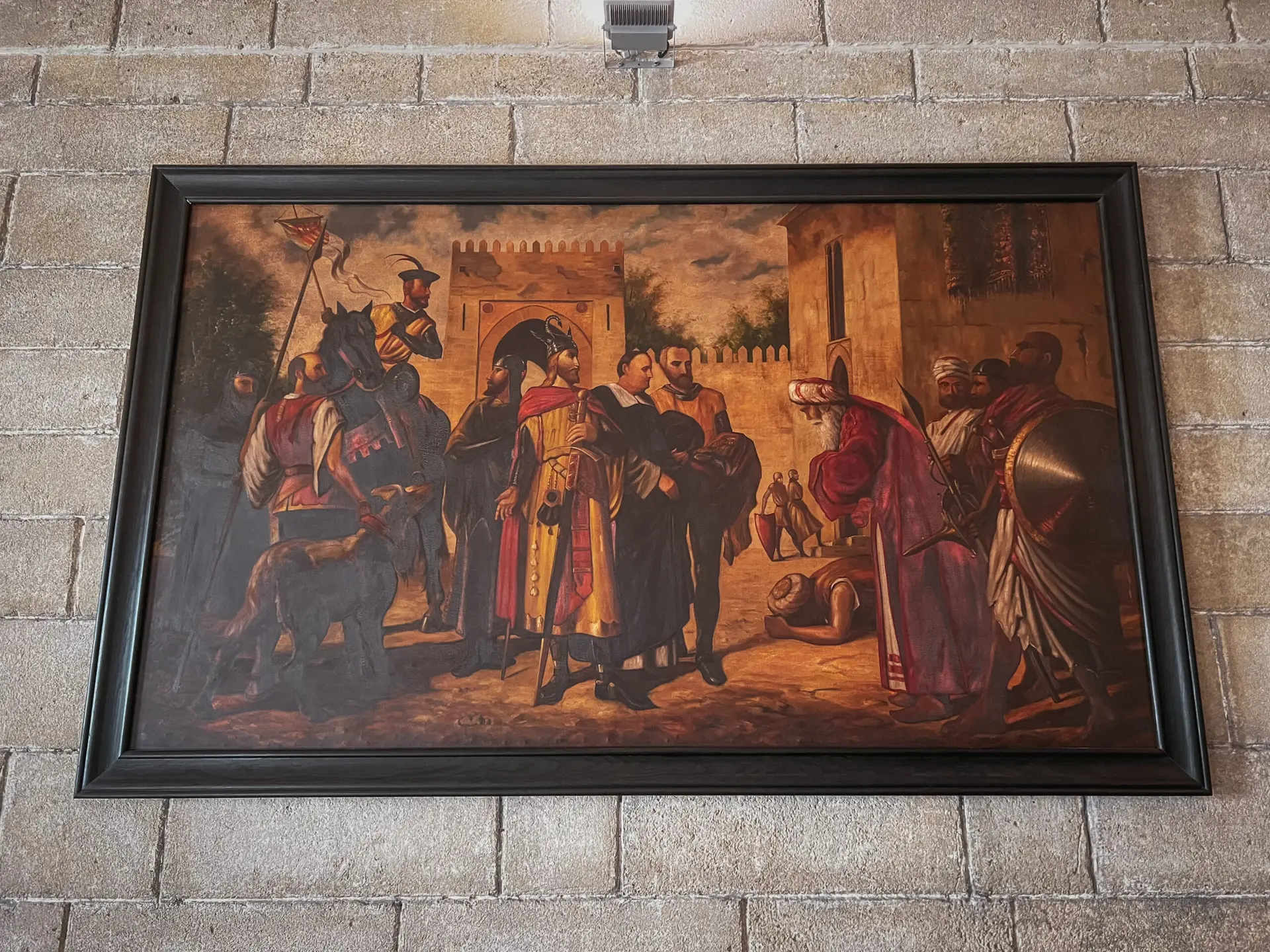
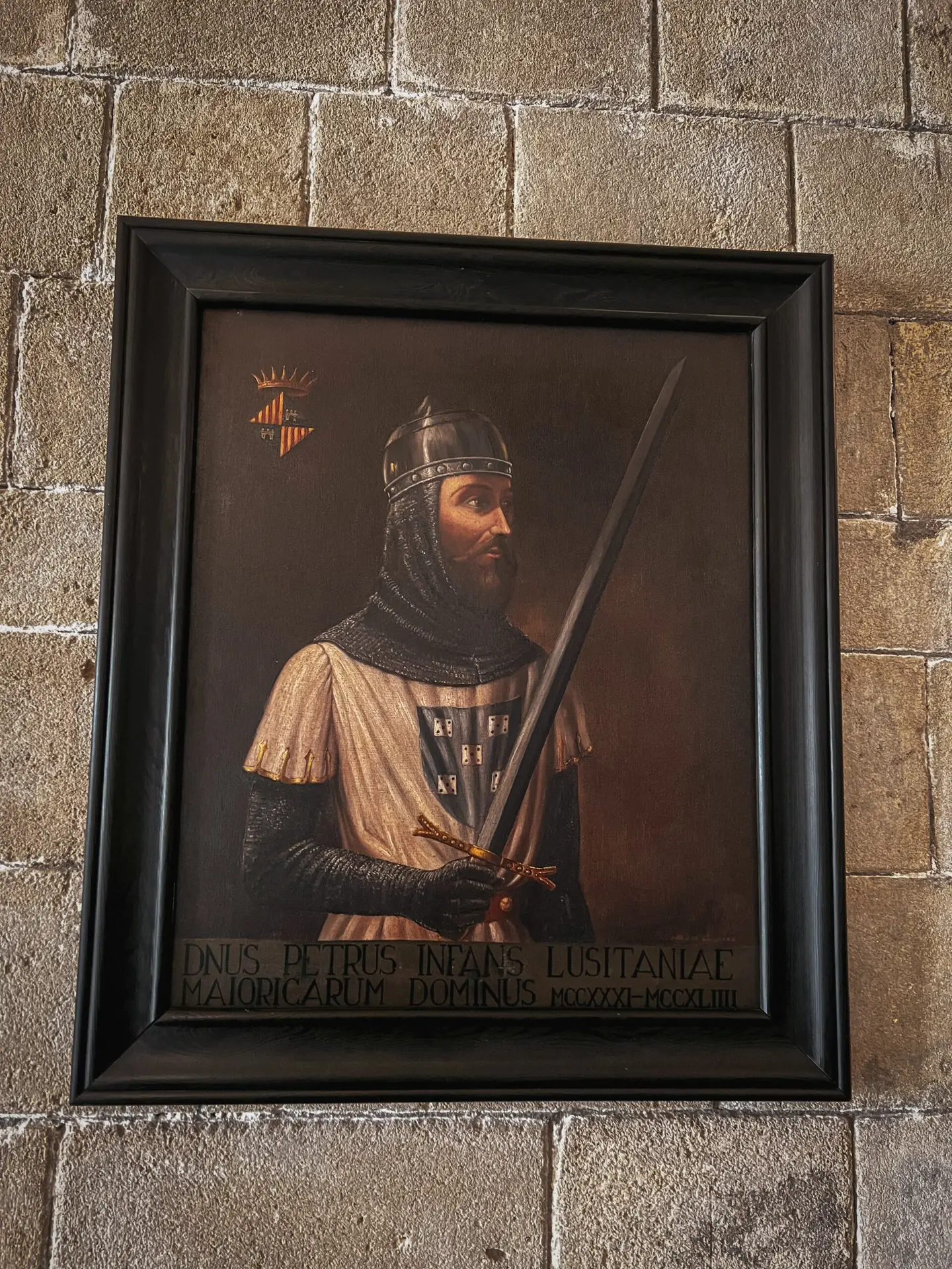
The Christian Reconquista on Mallorca began in 1229 with the conquest of the island by King Jaume I. Before that, Mallorca had been part of the Muslim Emirate of Córdoba and later the Taifa Kingdom of Denia for nearly 300 years. The Catalan-Aragonese troops recaptured the capital, Madina Mayurqa (present-day Palma), after bloody battles. With the Reconquista, Mallorca was incorporated into the Christian Kingdom of Aragon, and the Arab-Muslim population was either expelled or enslaved.
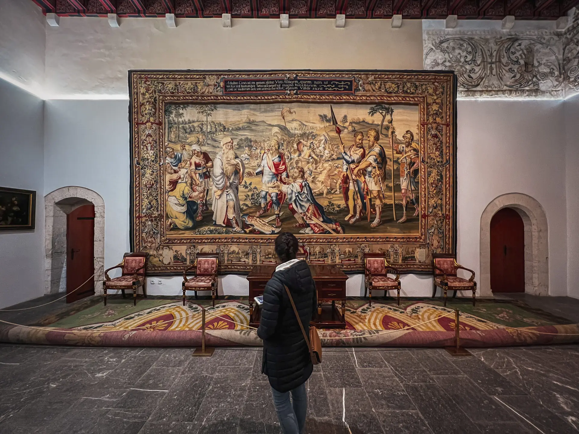
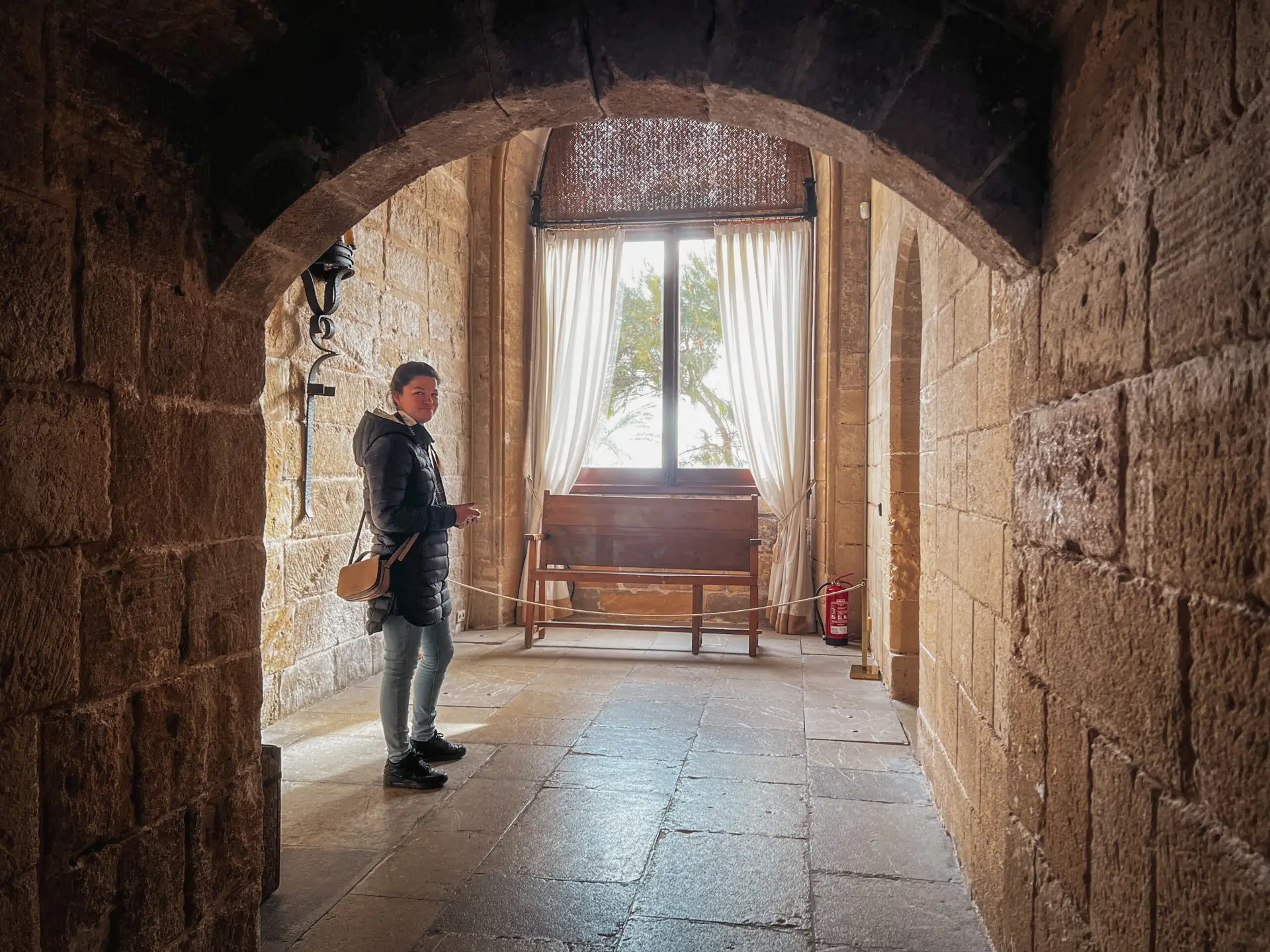
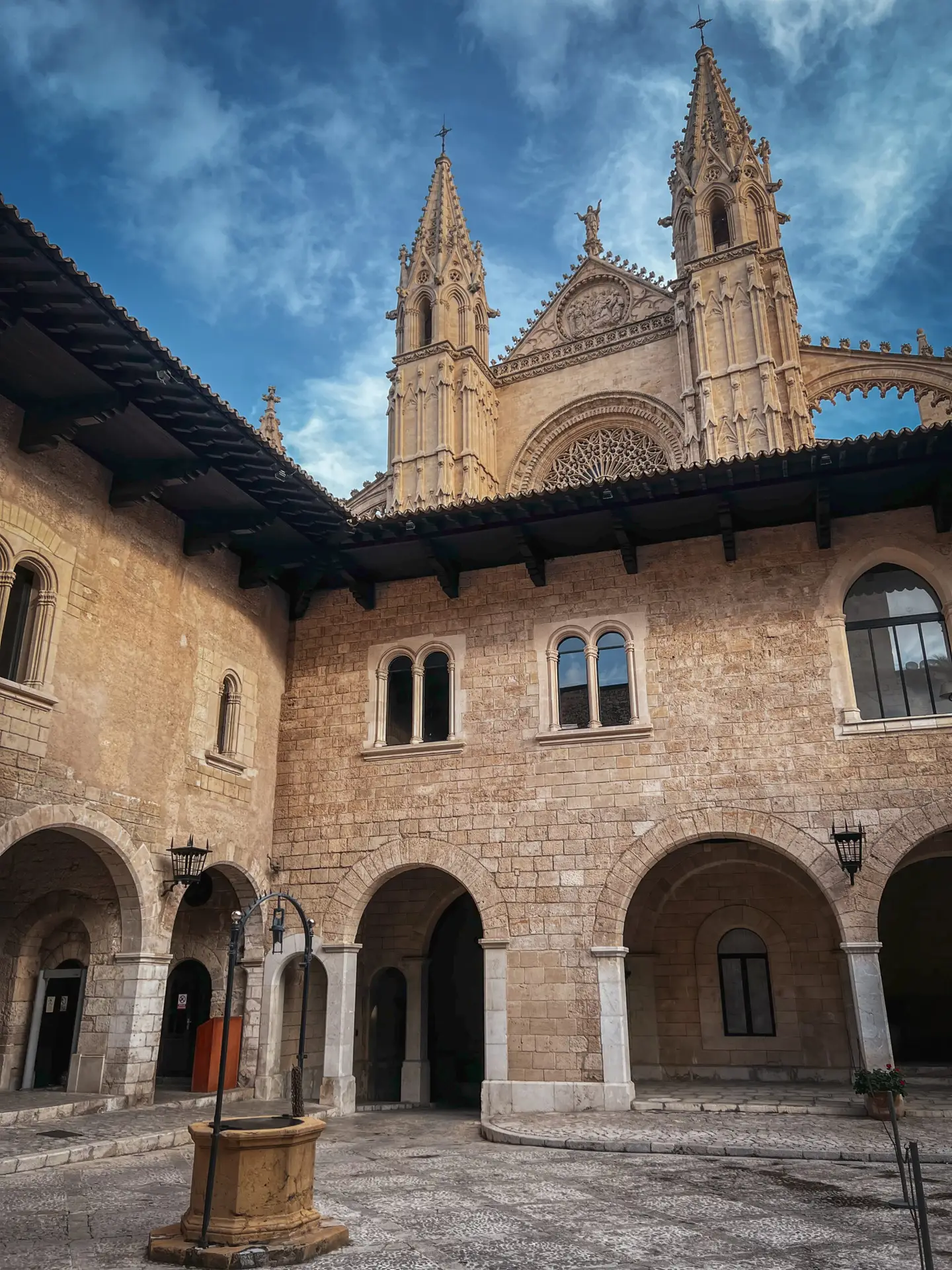
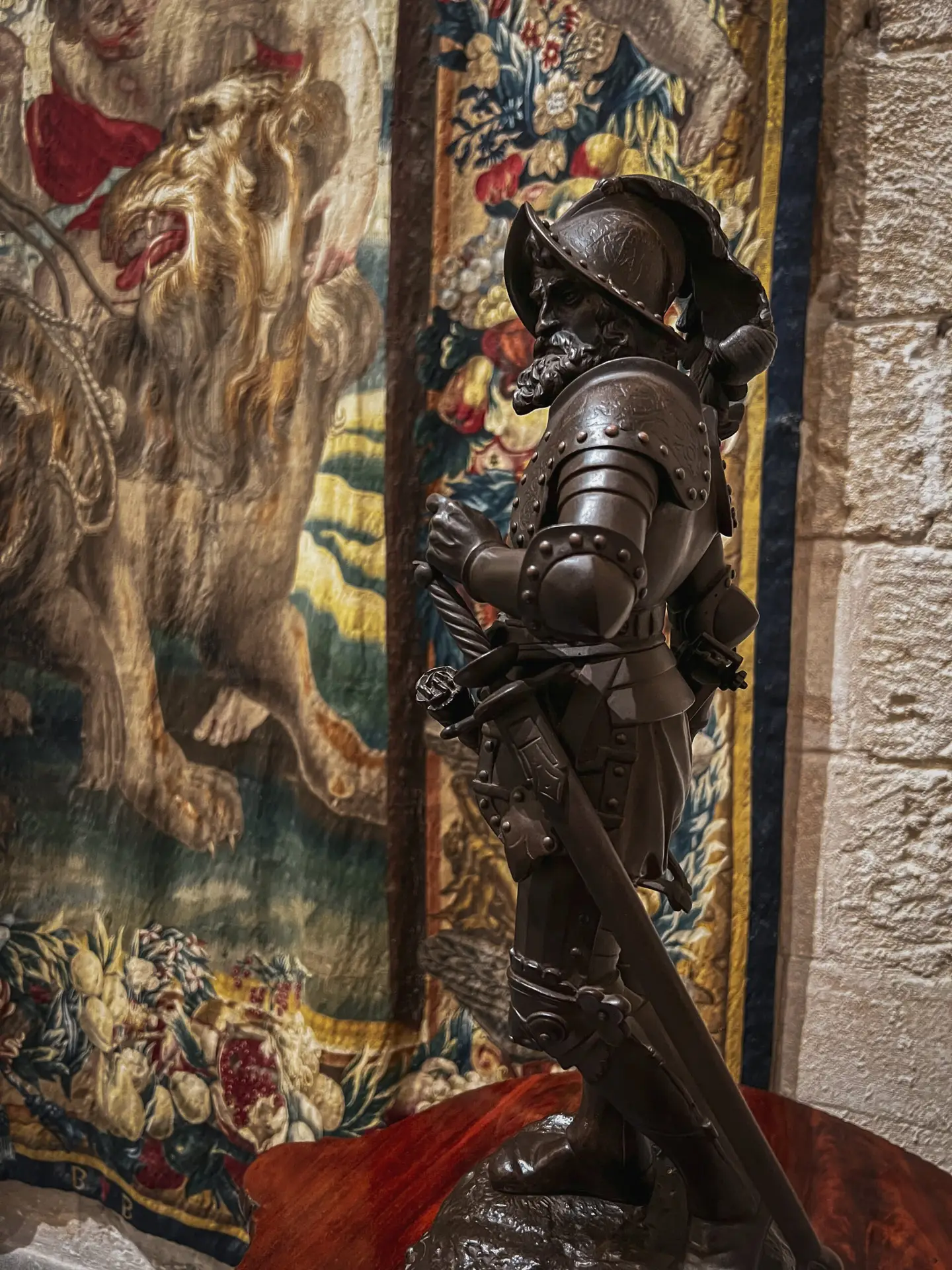
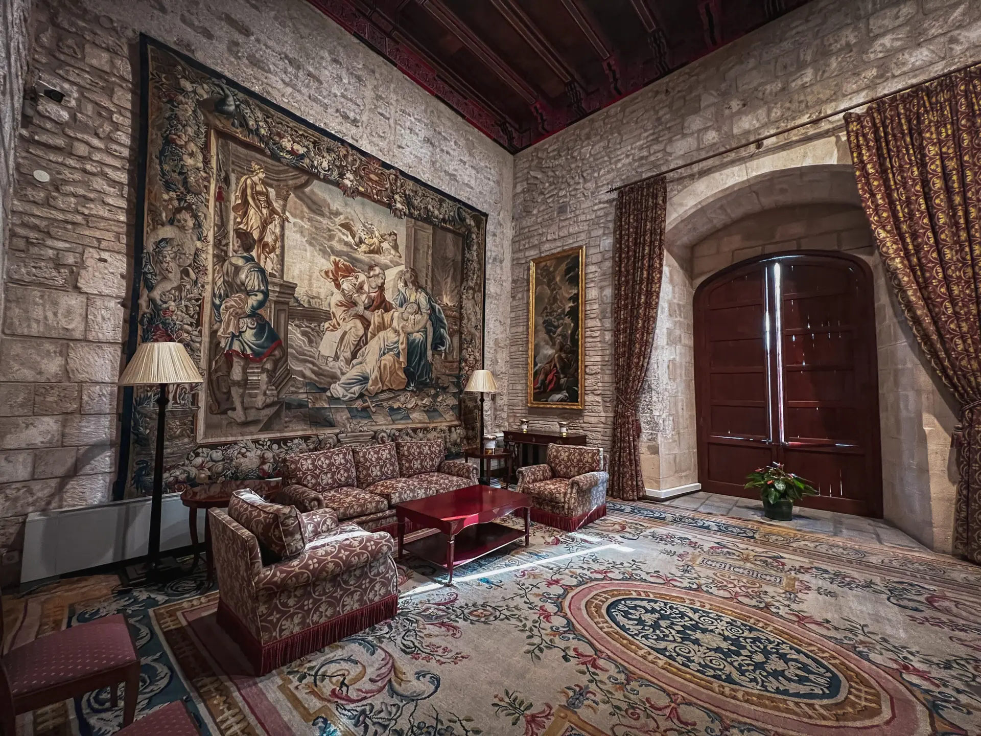
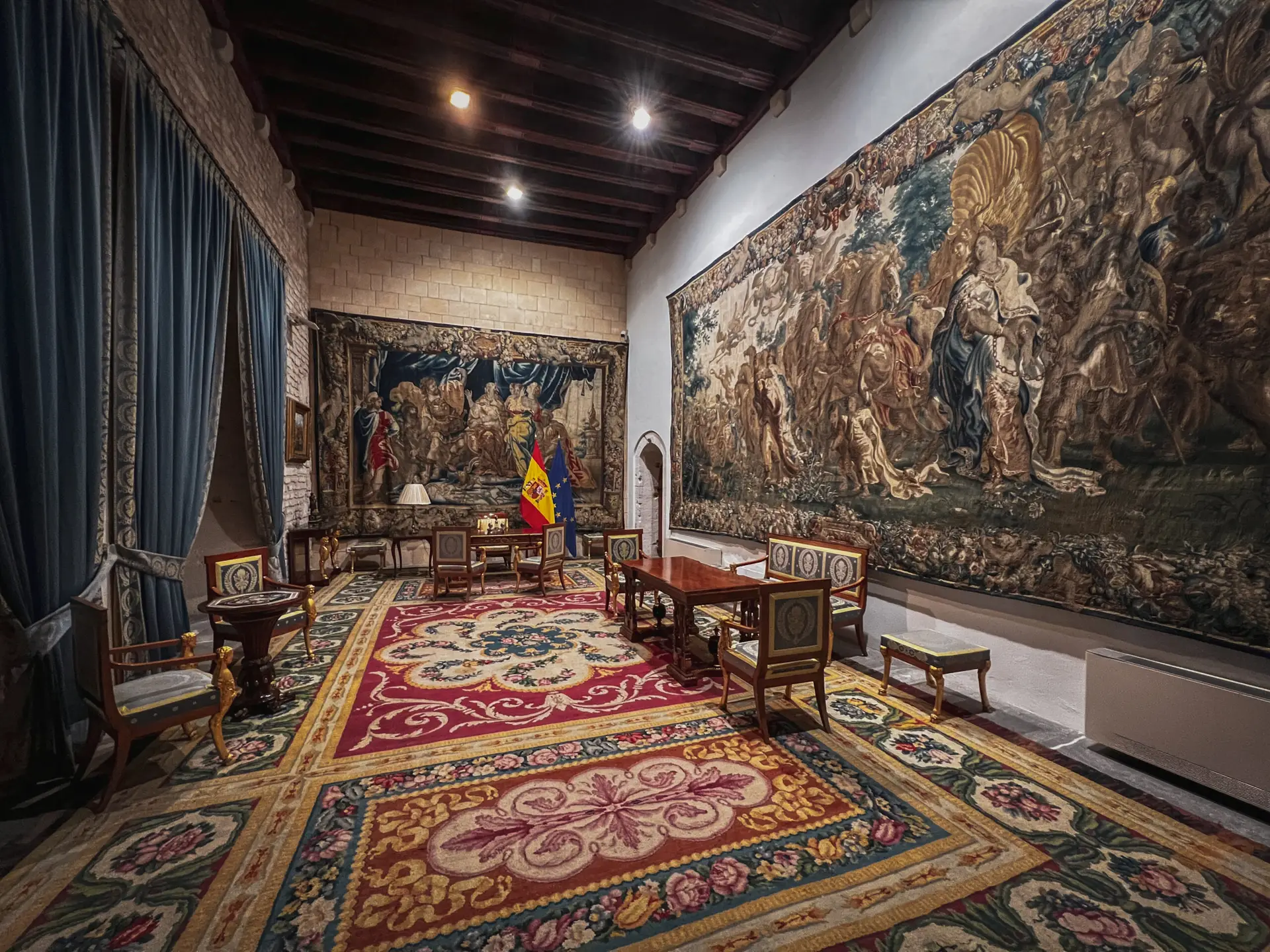
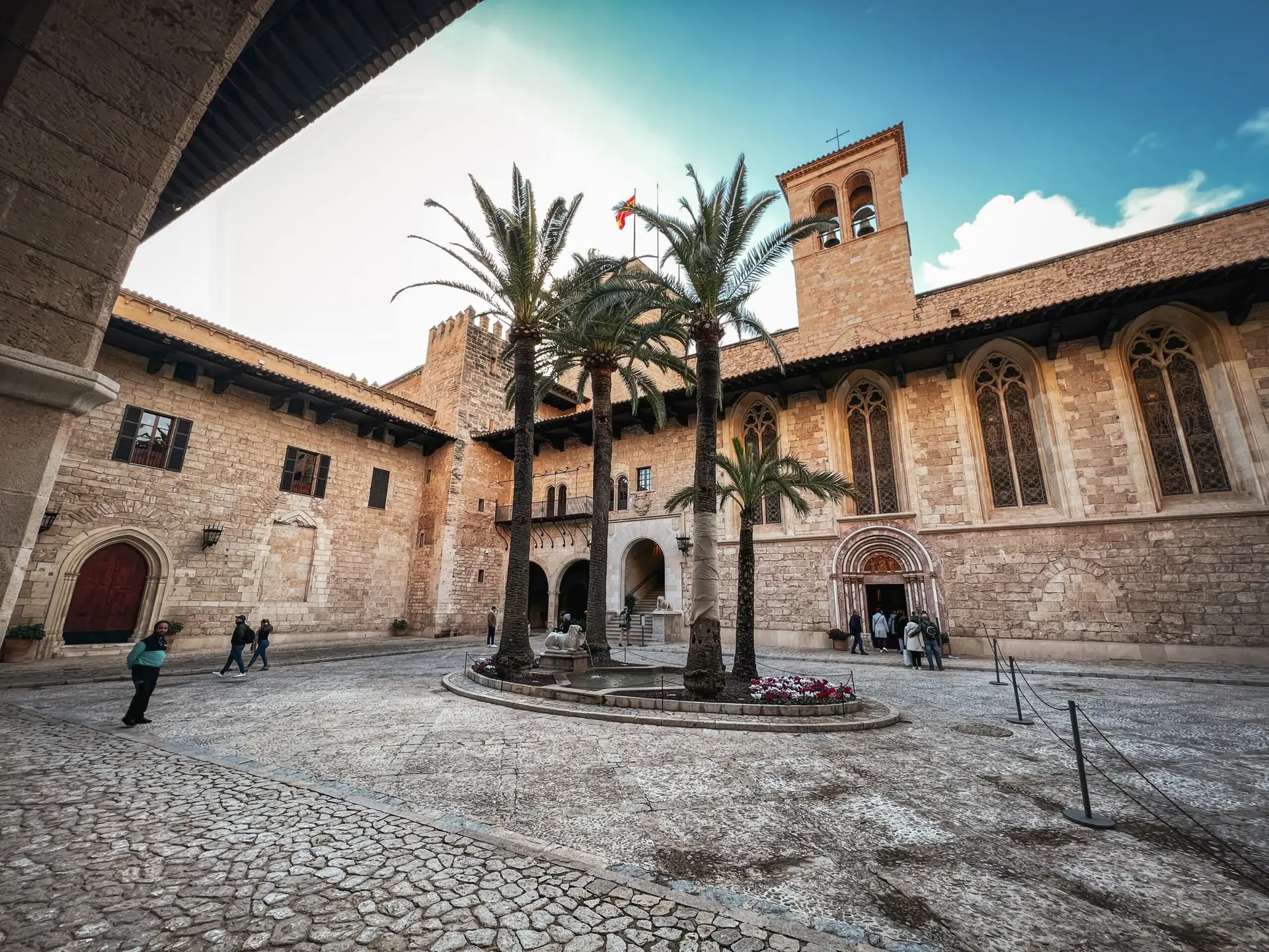
Almudaina Palace
The Palace of Almudaina in Palma was originally a Moorish fortress, built during the Muslim rule of Mallorca. After the island was conquered by King Jaume I in 1229 during the Reconquista, the palace was transformed into a Christian residence. Even today, its architecture reflects a blend of Islamic design with Gothic and Romanesque elements that were added during its renovation.
How to get there?
- La Almudaina on Google Maps,
Coordinates: 39°34’03.7″N 2°38’50.4″E
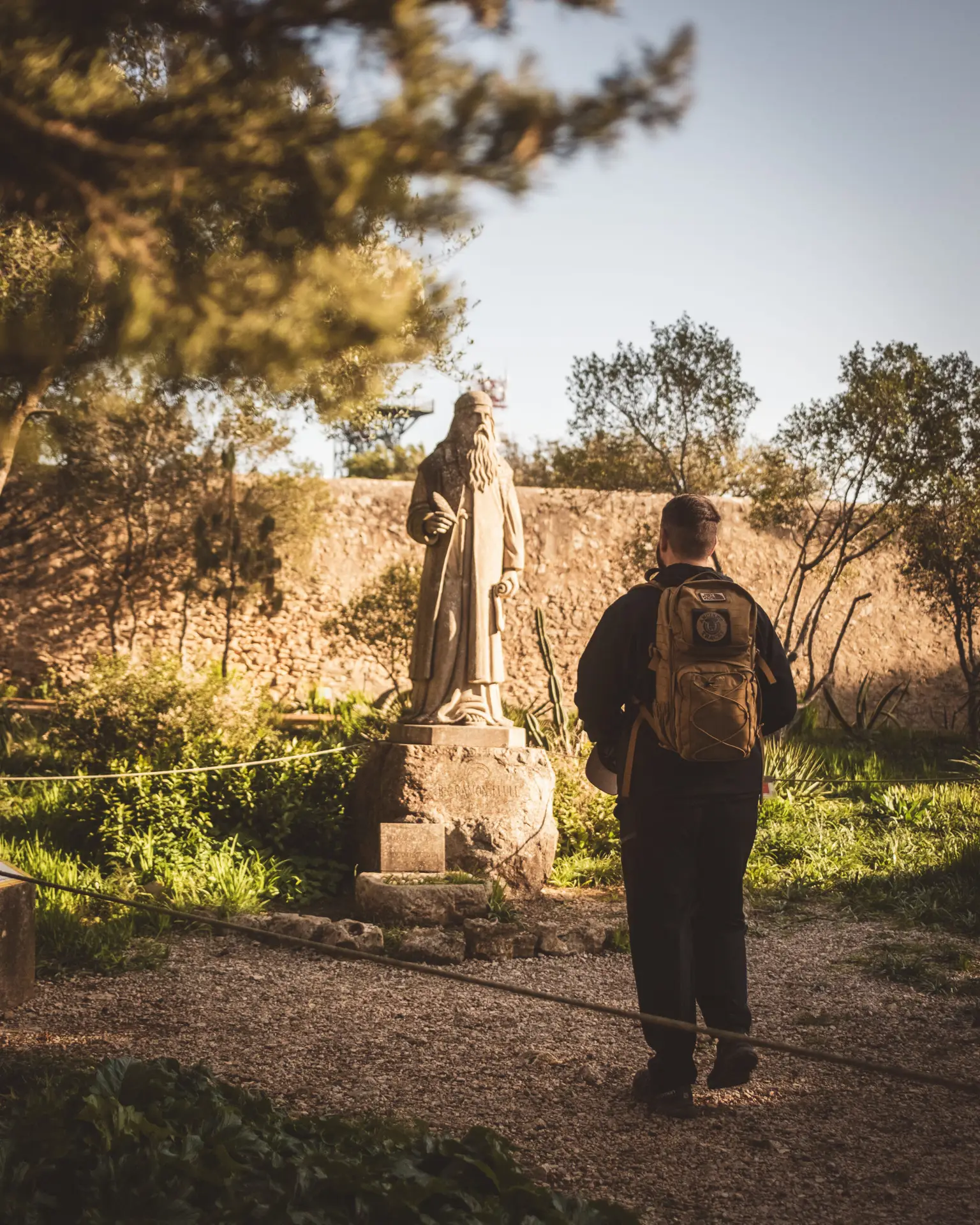
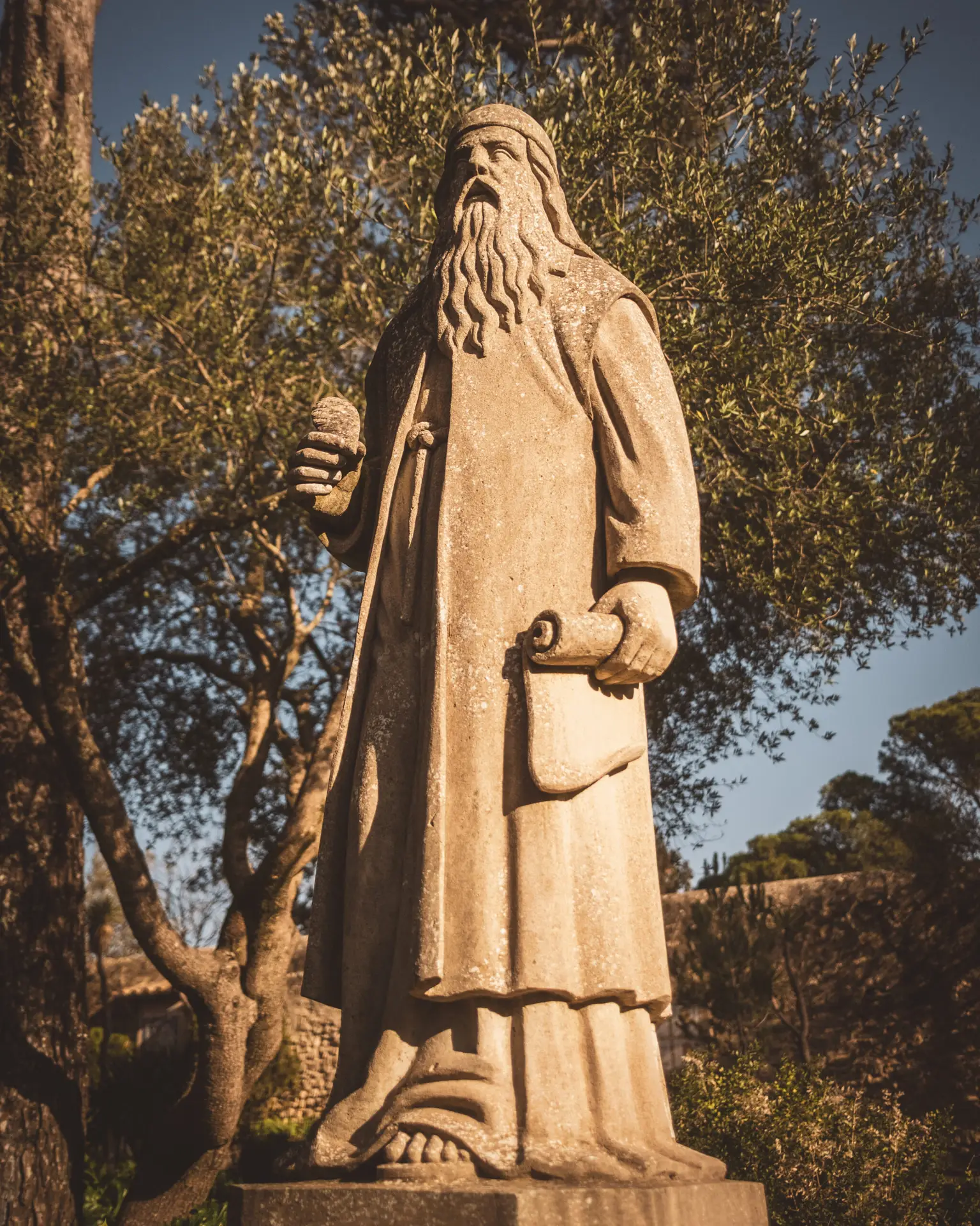
Middle Ages: Ramon Llull
In the period following the conquest, Ramon Llull—one of the most influential philosophers and mystics of the Middle Ages—shaped the intellectual life of the island. He dedicated himself to the spread of Christianity and developed revolutionary ideas in logic, theology, and missionary work. Llull’s writings and his missionary school in Palma left a lasting cultural legacy.
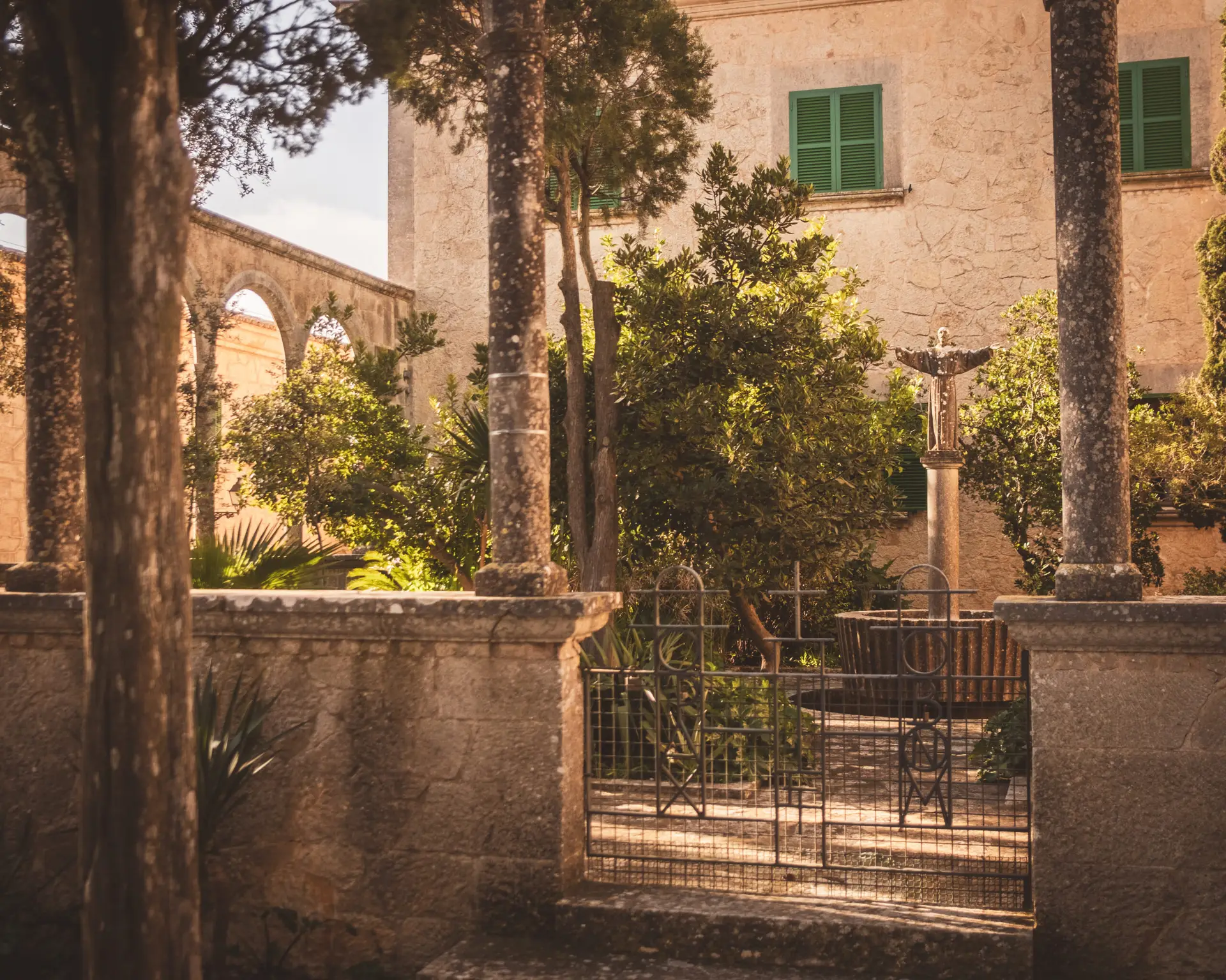
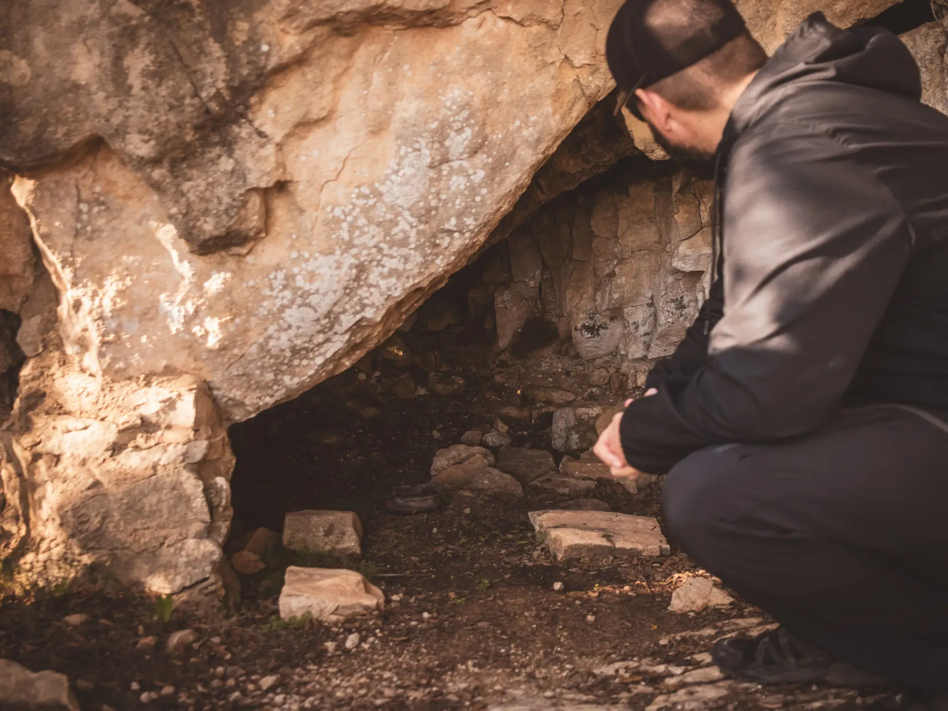
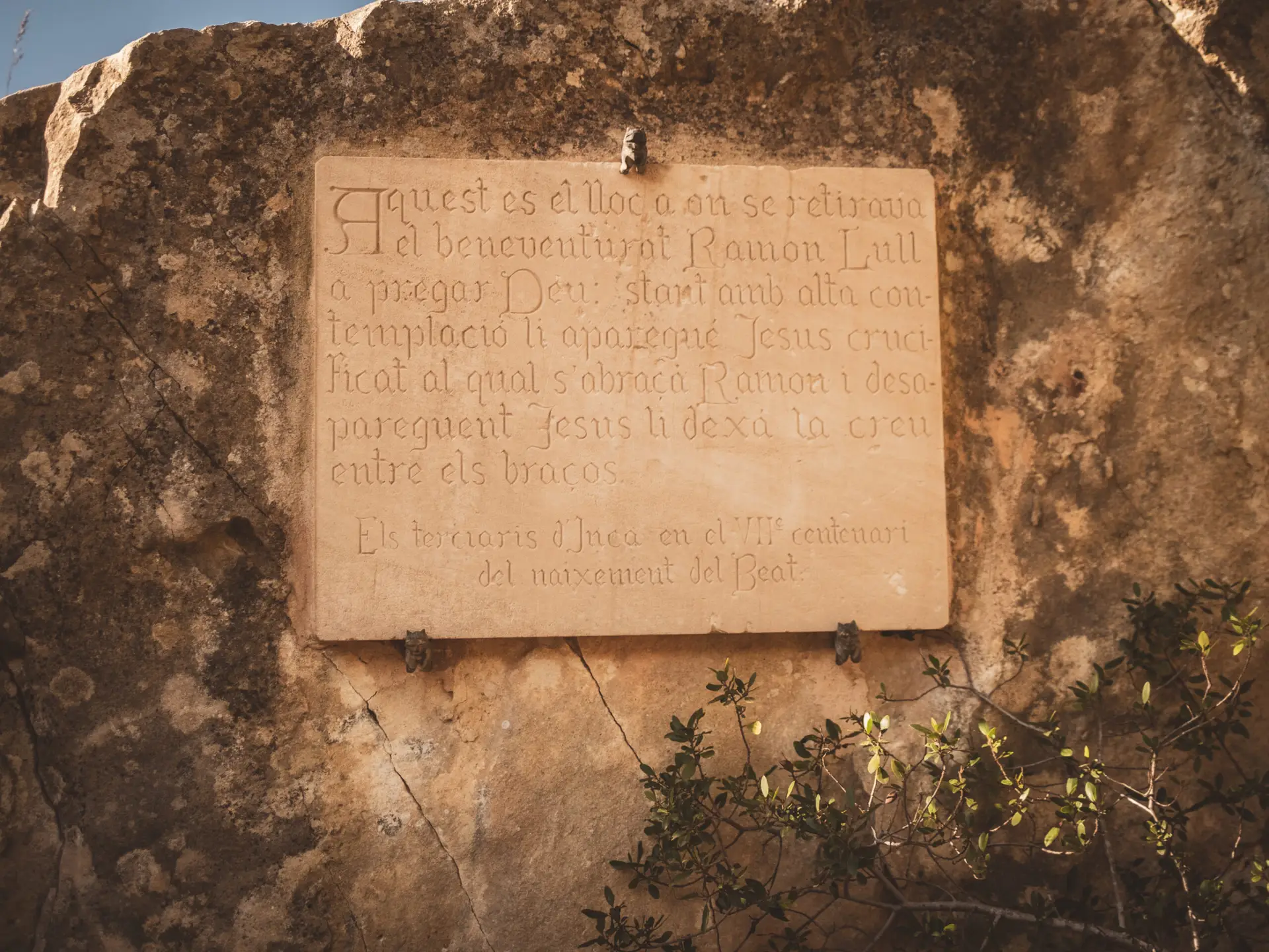
Santuari de Cura & Cova del Beat Ramon Llull
The Puig de Randa is one of Mallorca’s spiritual landmarks, home to several monasteries, including the Santuari de Cura. This mountain is closely linked to the philosopher and mystic Ramon Llull, who retreated to a cave on Puig de Randa in the 13th century to meditate and write his most important works, including the famous Ars Magna.
How to get there?
- Coordinates: 39°31’39.9″N 2°55’34.9″E
- Cova del Beat Ramon Llull on Google Maps,
Coordinates: 39°31’34.4″N 2°55’23.3″E
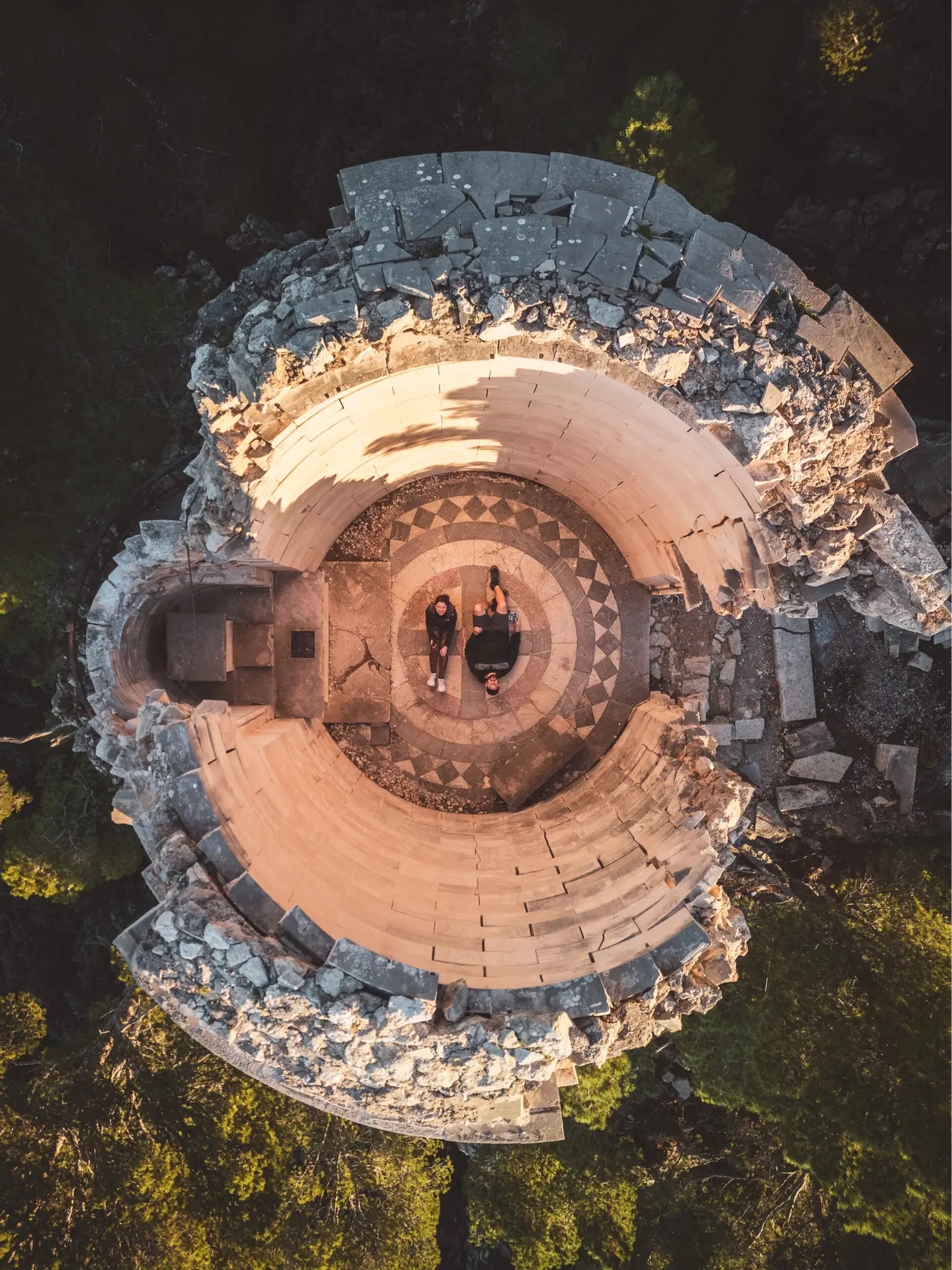
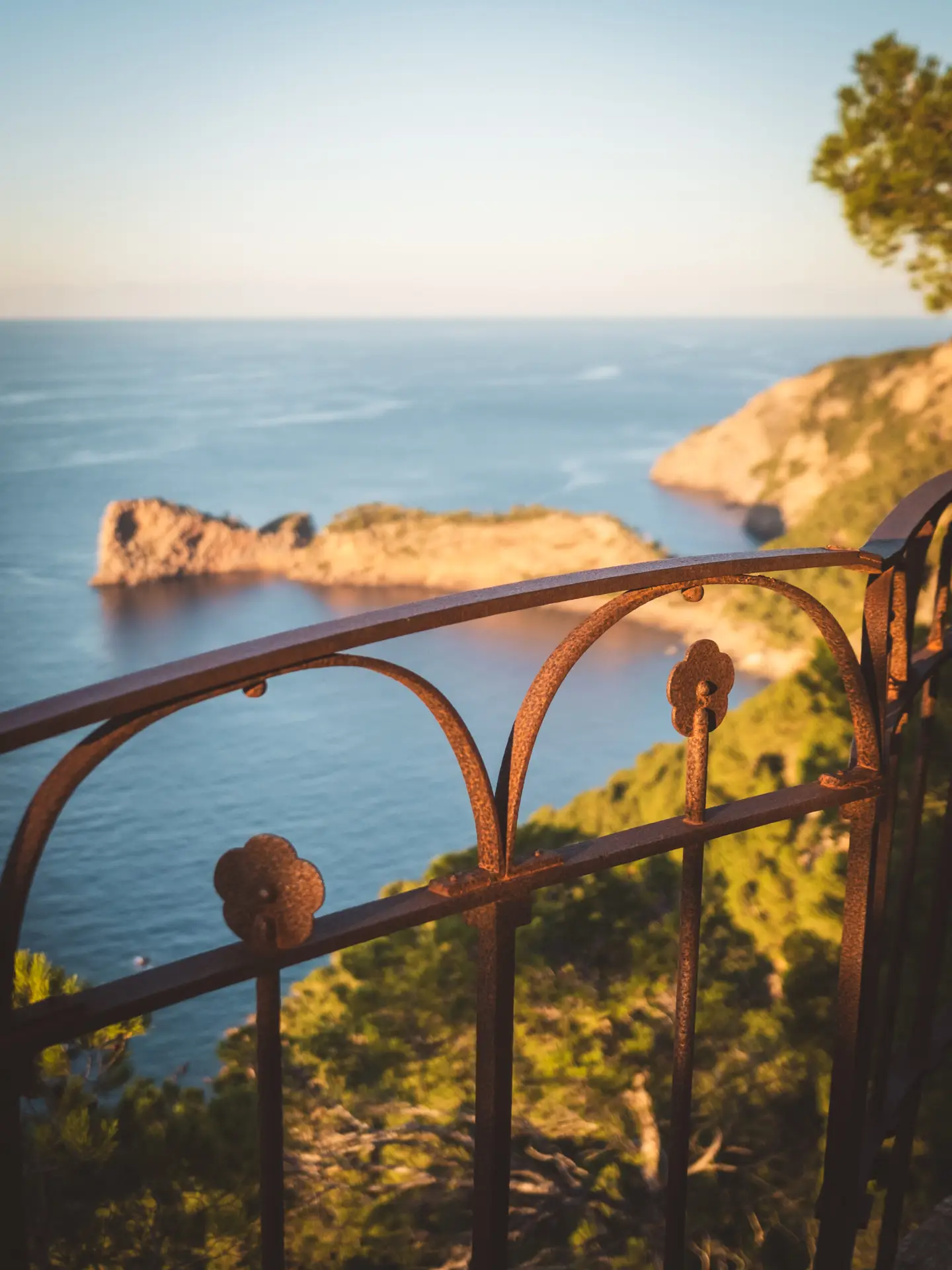
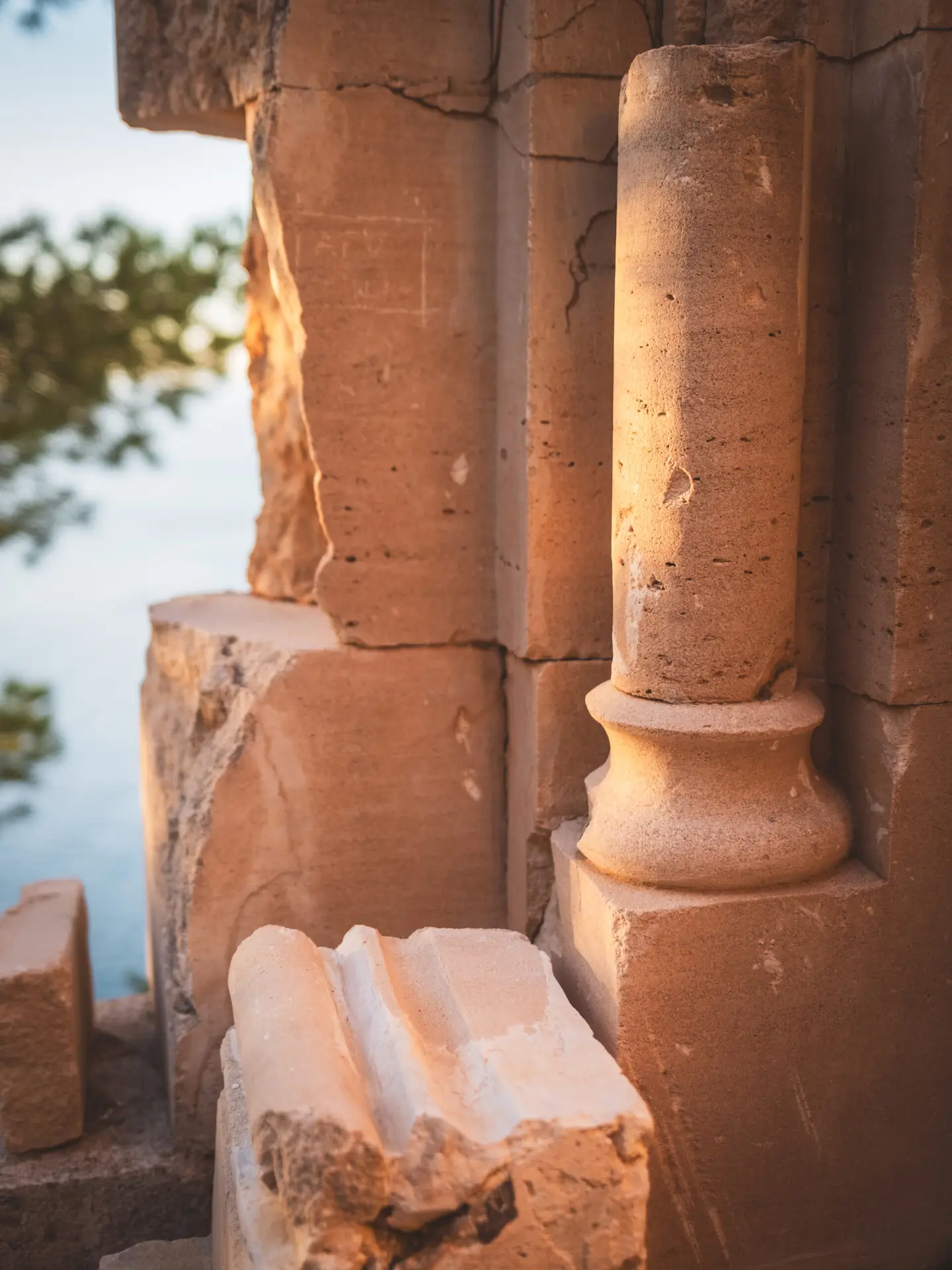
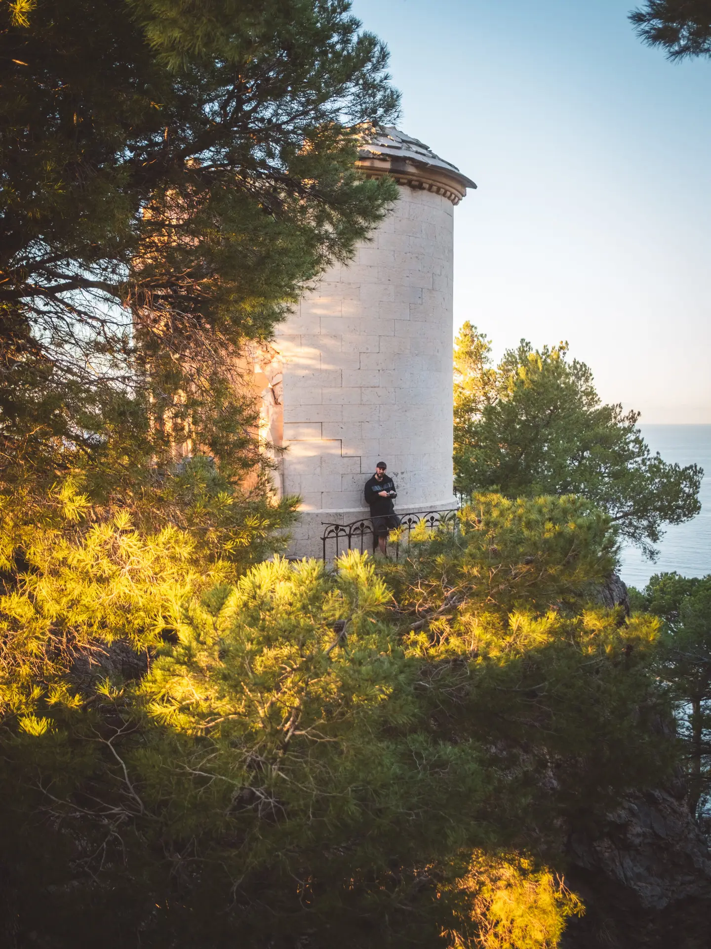
Capella del Beat Ramon Llull
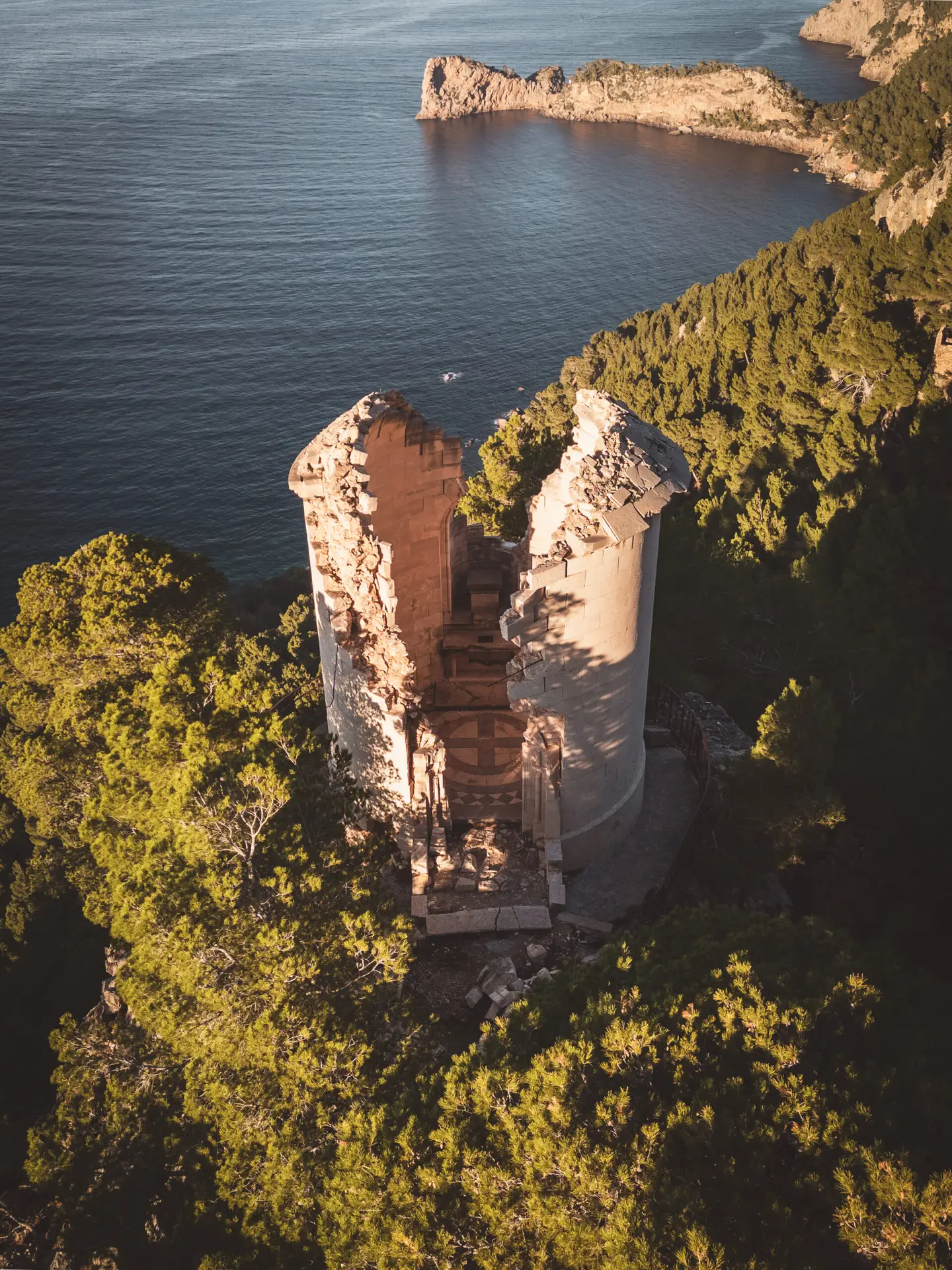
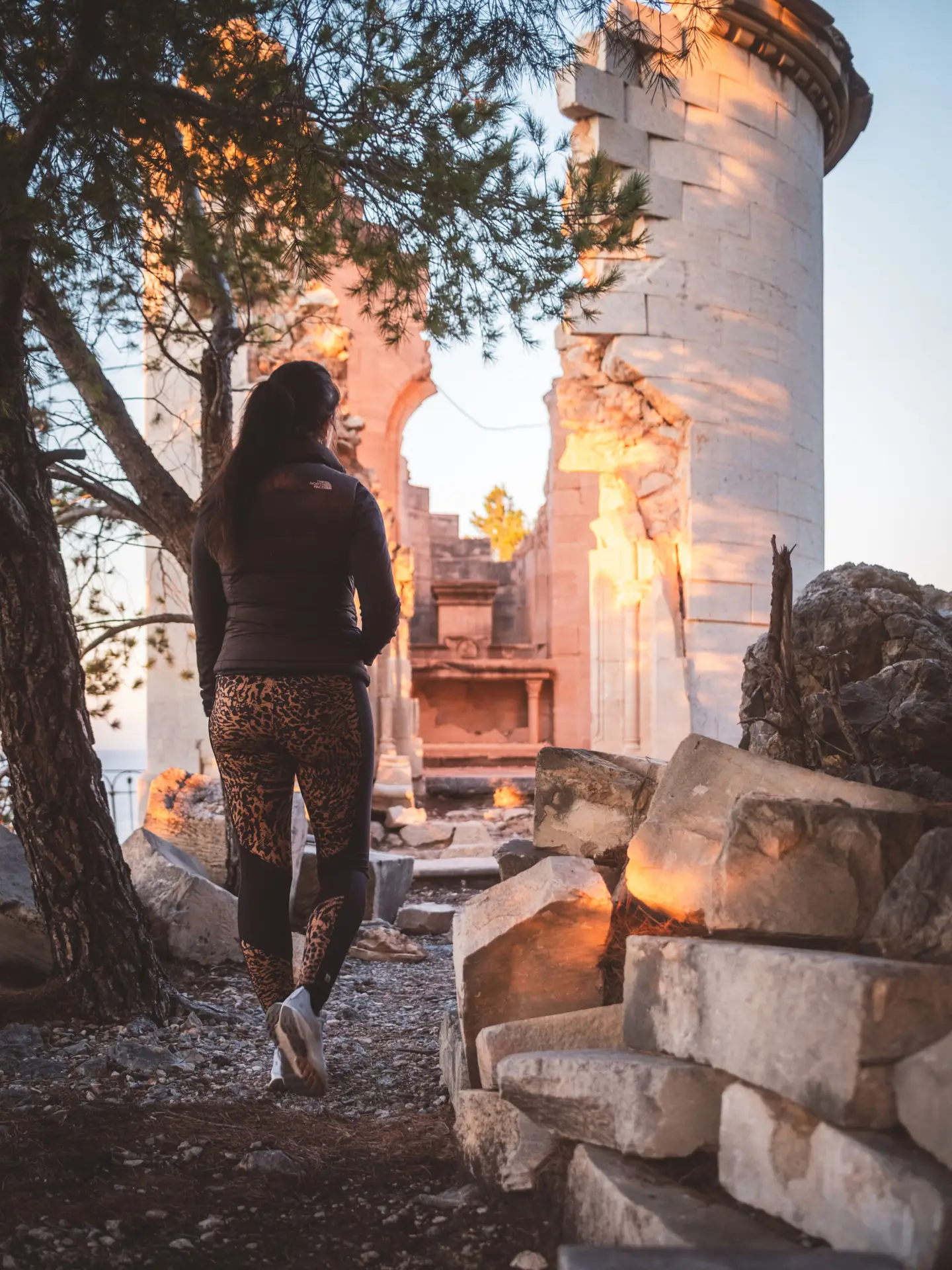
The Capella del Beat Ramon Llull was built in 1876 in a spectacular location on a rocky outcrop in the Serra de Tramuntana. The chapel was commissioned by Archduke Ludwig Salvator of Habsburg-Lorraine, who was fascinated by Mallorca’s landscape and dedicated it to the philosopher and mystic Ramon Llull. Ludwig Salvator lived on the island for many years, and it is well known that his cousin, the famous Empress Sissi of Austria, frequently visited him here.
In 1974, a lightning strike hit the chapel's tower, splitting it in half. Since then, the chapel’s 'divided' appearance has given it a unique, almost mystical character.
Middle Ages: The Pirates
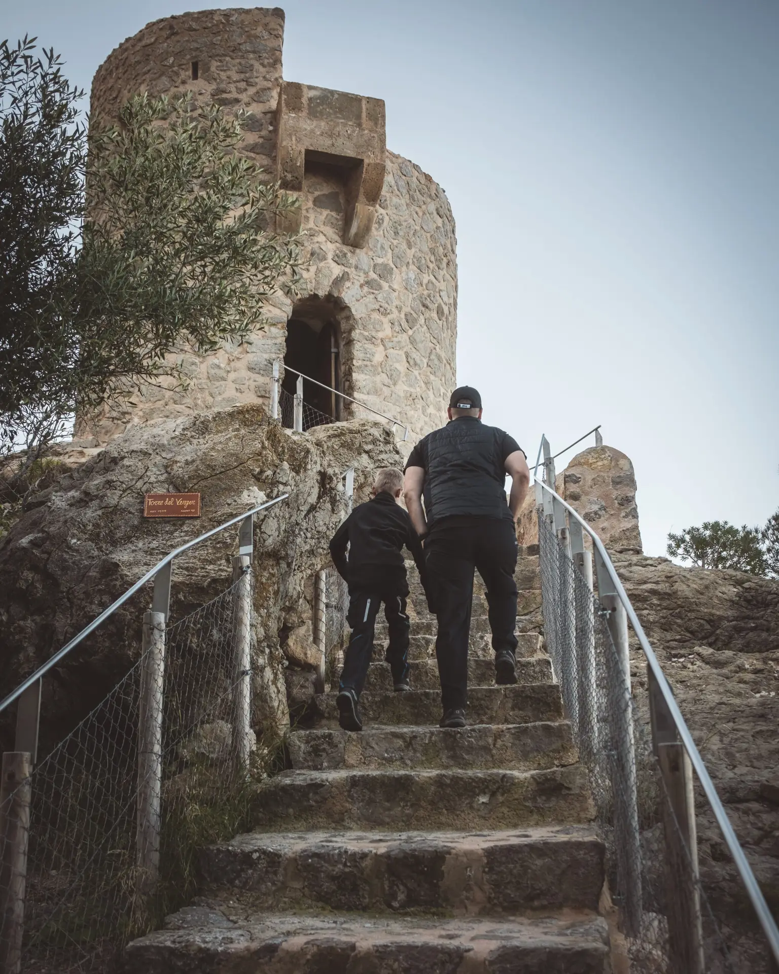
Between the 14th and 18th centuries, Mallorca was frequently raided by pirates and corsairs. The island’s strategic location in the Mediterranean made it a prime target for attacks, particularly by North African Berber pirates. To defend against these raids, numerous watchtowers were built along the coast.
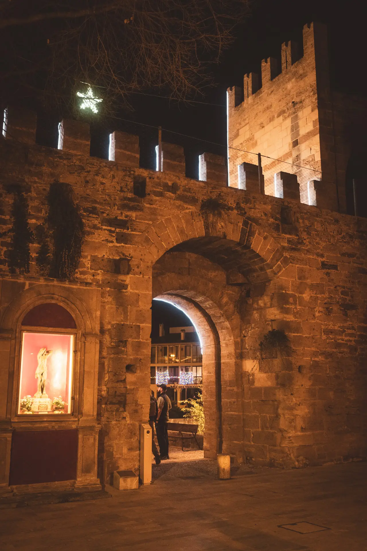
City Walls of Alcúdia
The old town of Alcúdia and its impressive city walls date back to the 14th century when King Jaume II ordered the fortification of the city after the Reconquista to protect it from pirate raids and attacks. The approximately 1.5-kilometer-long wall, with its well-preserved watchtowers and gates, completely encloses the historic old town.
How to get there?
- Alcúdia on Google Maps,
Coordinates: 39°51’10.6″N 3°07’08.9″E
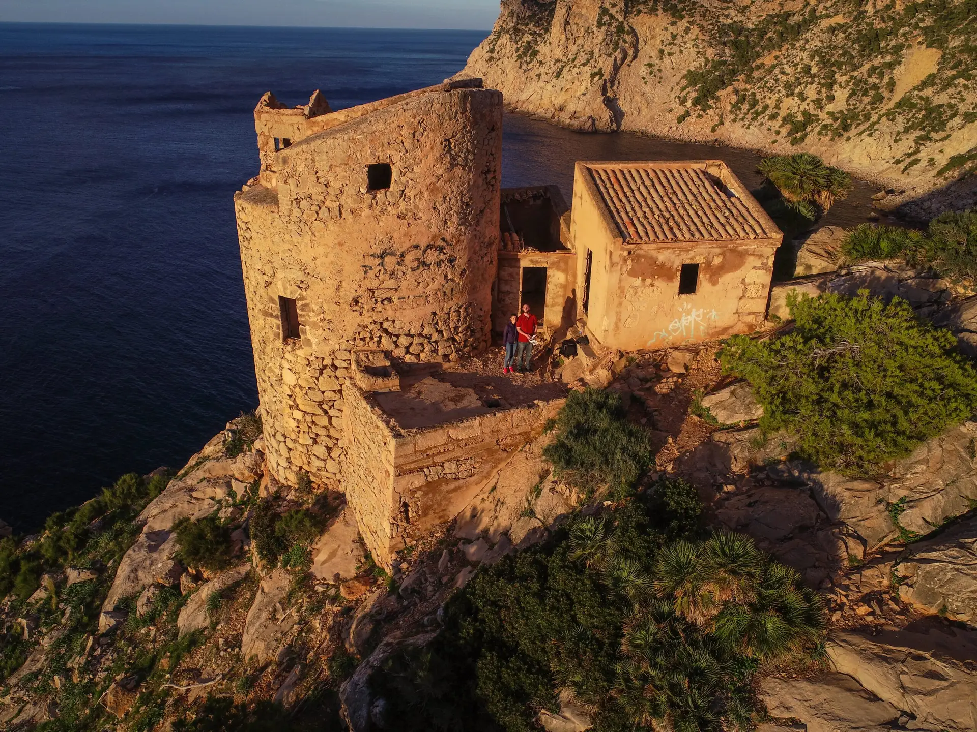
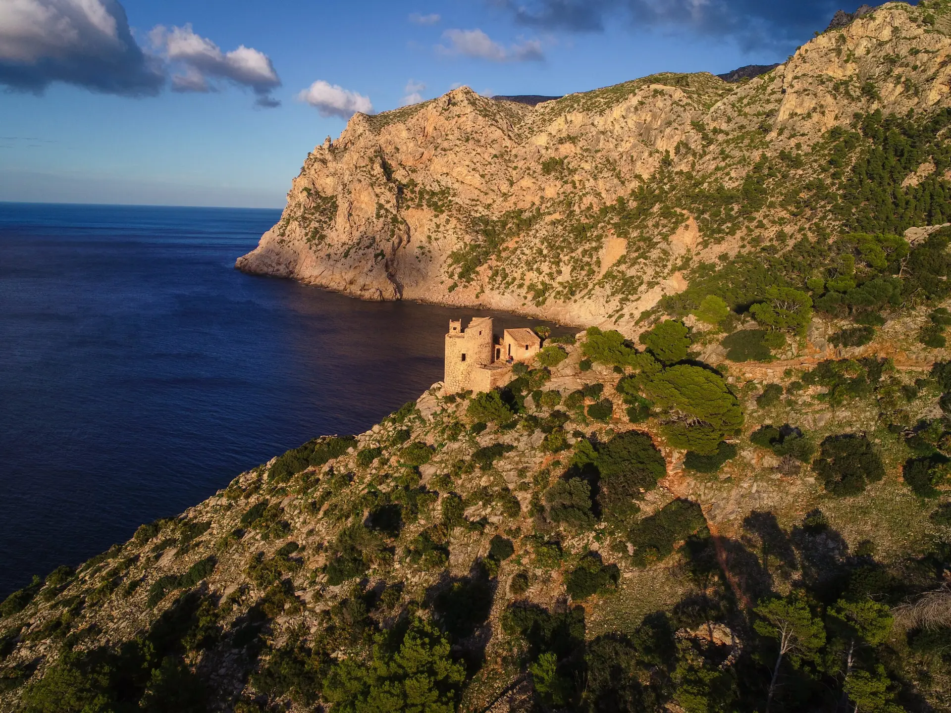
Torre de Cala en Basset
The Torre de Basset, near the coastal town of Sant Elm, is one of Mallorca’s many historic watchtowers built in the 16th century to protect against pirate attacks. From this strategically located tower, guards had a wide view over the sea and could warn of approaching pirates.
How to get there?
Coordinates: 39°35’48.0″N 2°21’01.8″E
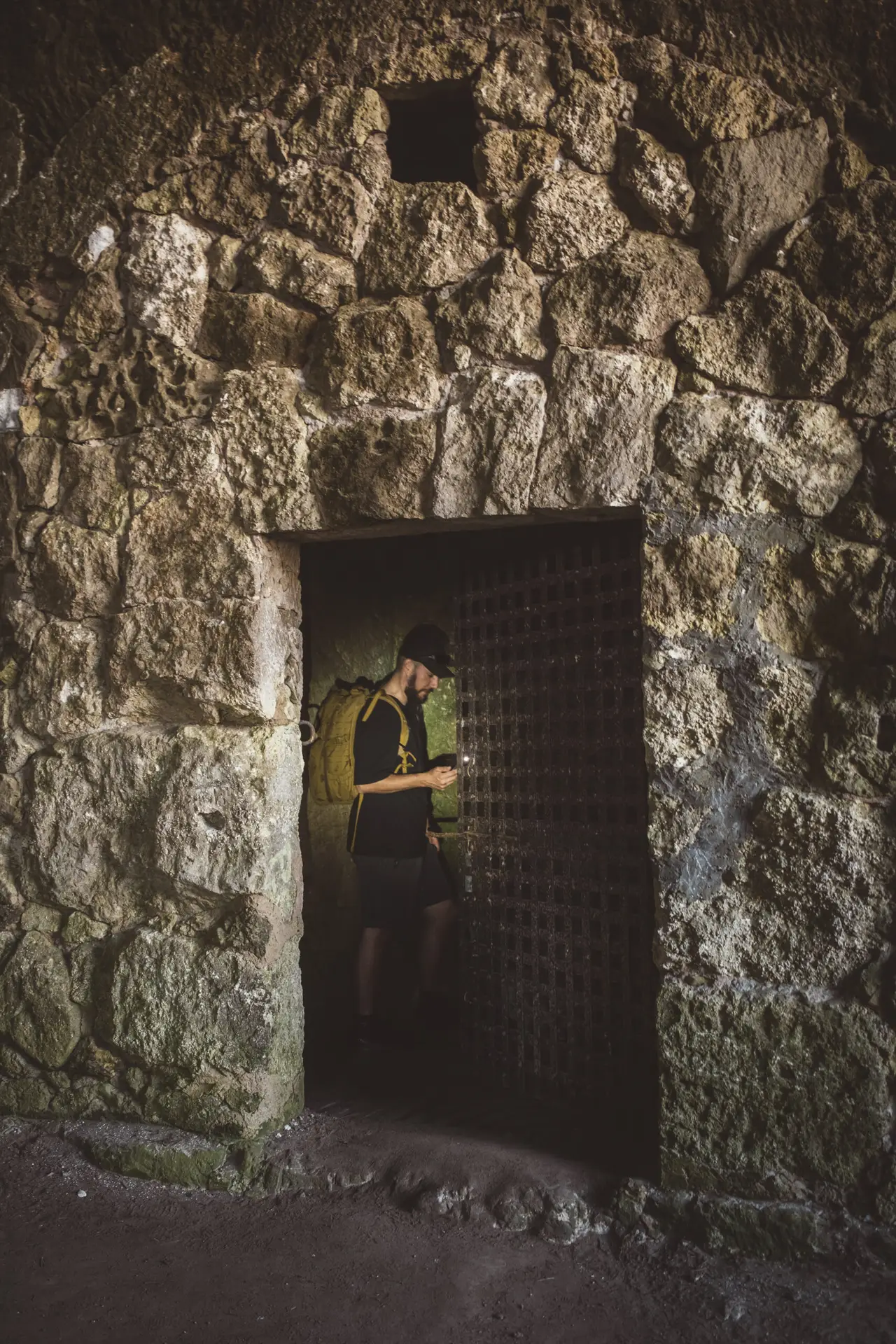
Portals Vells Cave
The caves of Portals Vells, also known as Cova de la Mare de Déu, are man-made caves located on Mallorca’s southwest coast. They were used in the 14th century for the extraction of the island’s characteristic limestone, Marés, which was also used in the construction of Palma Cathedral.
Beyond their original function as a quarry, the caves later served as a refuge for pirates and sailors. Traces of the former stonemasons, such as tool marks and inscriptions, are still visible today. Smugglers also used the caves as storage for their goods. Additionally, numerous legends surround the caves, including the discovery of a statue of the Virgin Mary, which gave them their name.
How to get there?
- Portals Vells Cave on Google Maps,
Coordinates: 39°28’19.1″N 2°31’20.6″E
Modern Era: The Franco Dictatorship
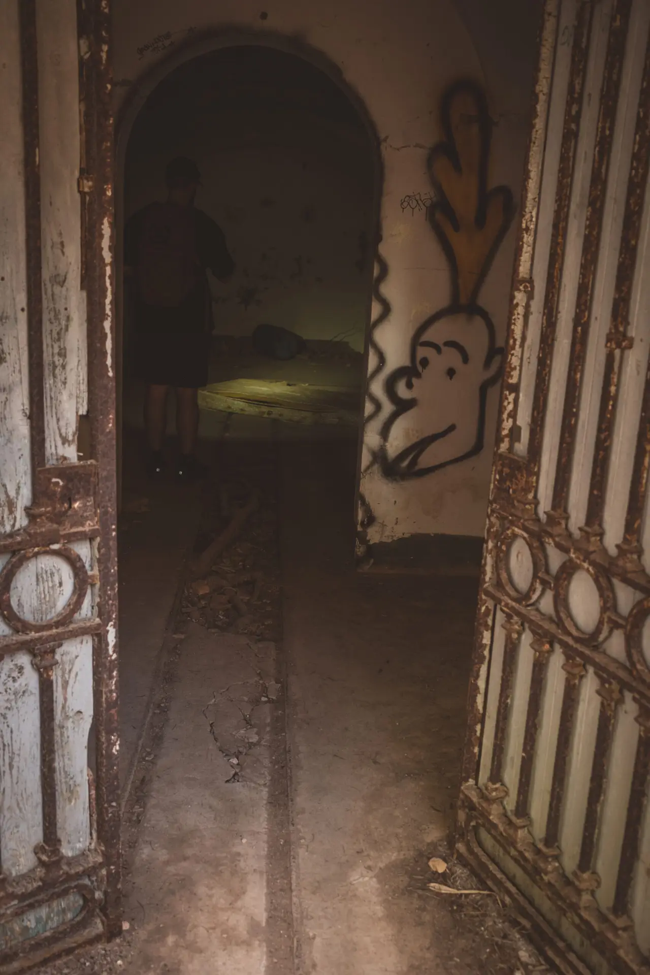
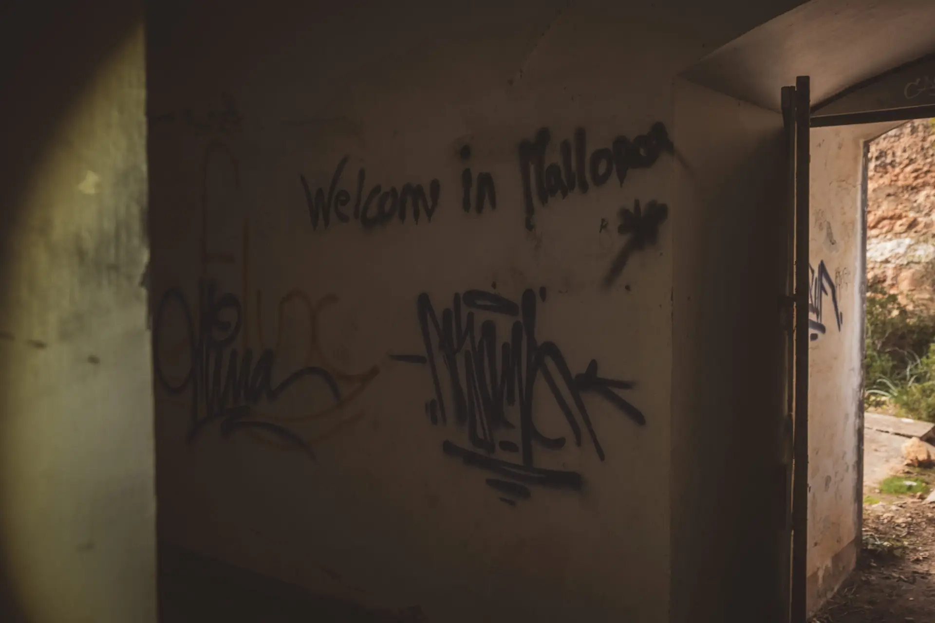
During the Franco dictatorship (1939–1975), Mallorca played a key role in Spain’s strategic defense. After the Spanish Civil War, the regime constructed numerous bunkers and coastal fortifications to protect the island from potential attacks by enemy forces—particularly during World War II, when Spain remained officially neutral but showed strong sympathies for the Axis powers. The bunkers along the coast—often camouflaged and integrated into the natural landscape—served as observation posts and defensive positions against a feared Allied invasion, which ultimately never took place.
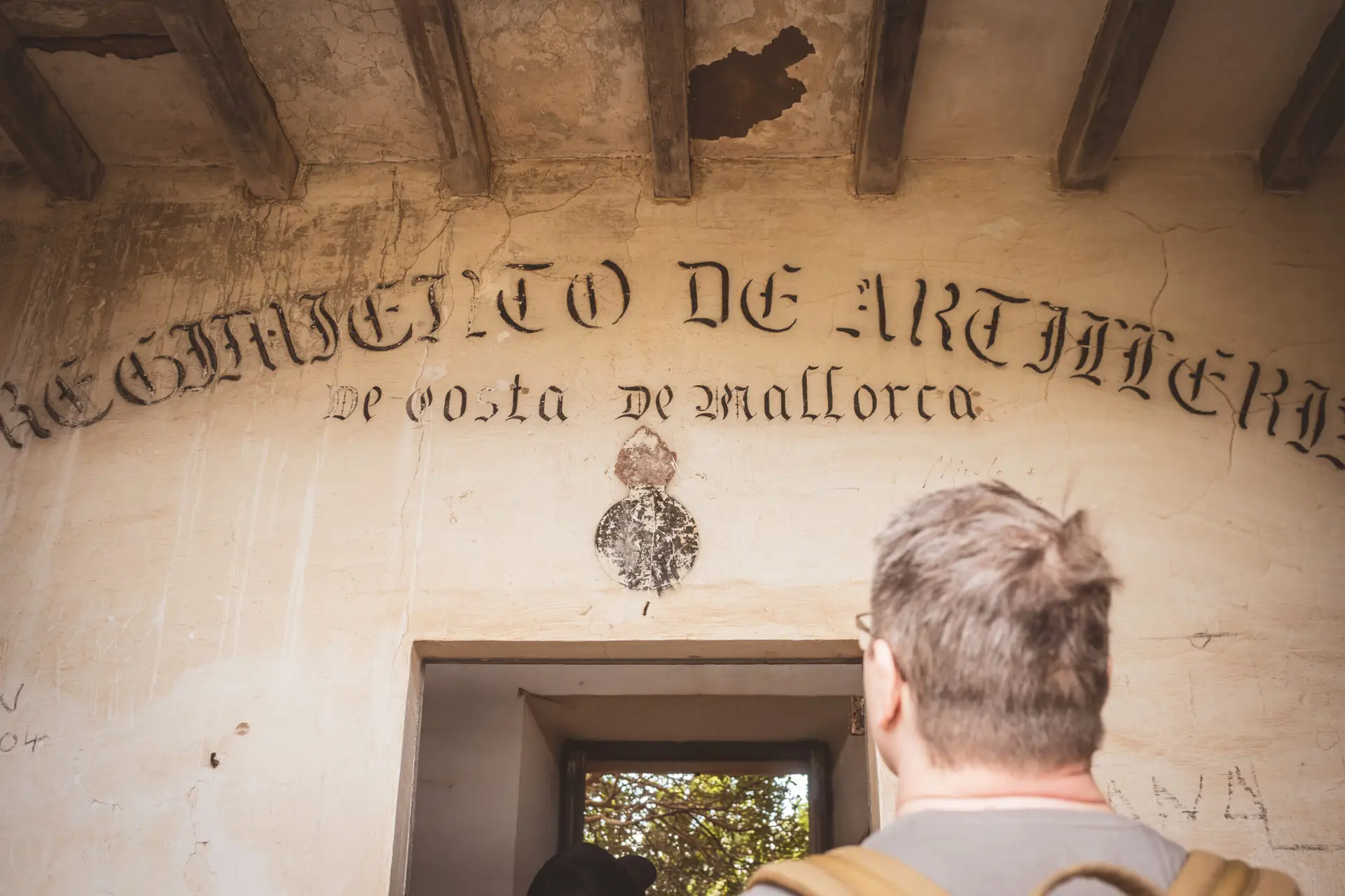
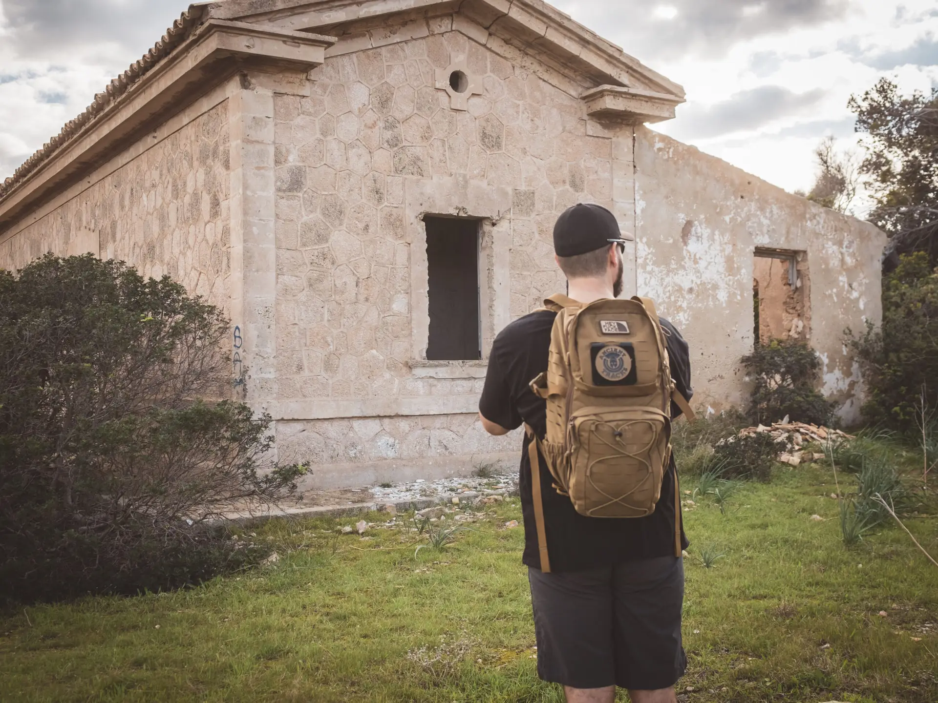
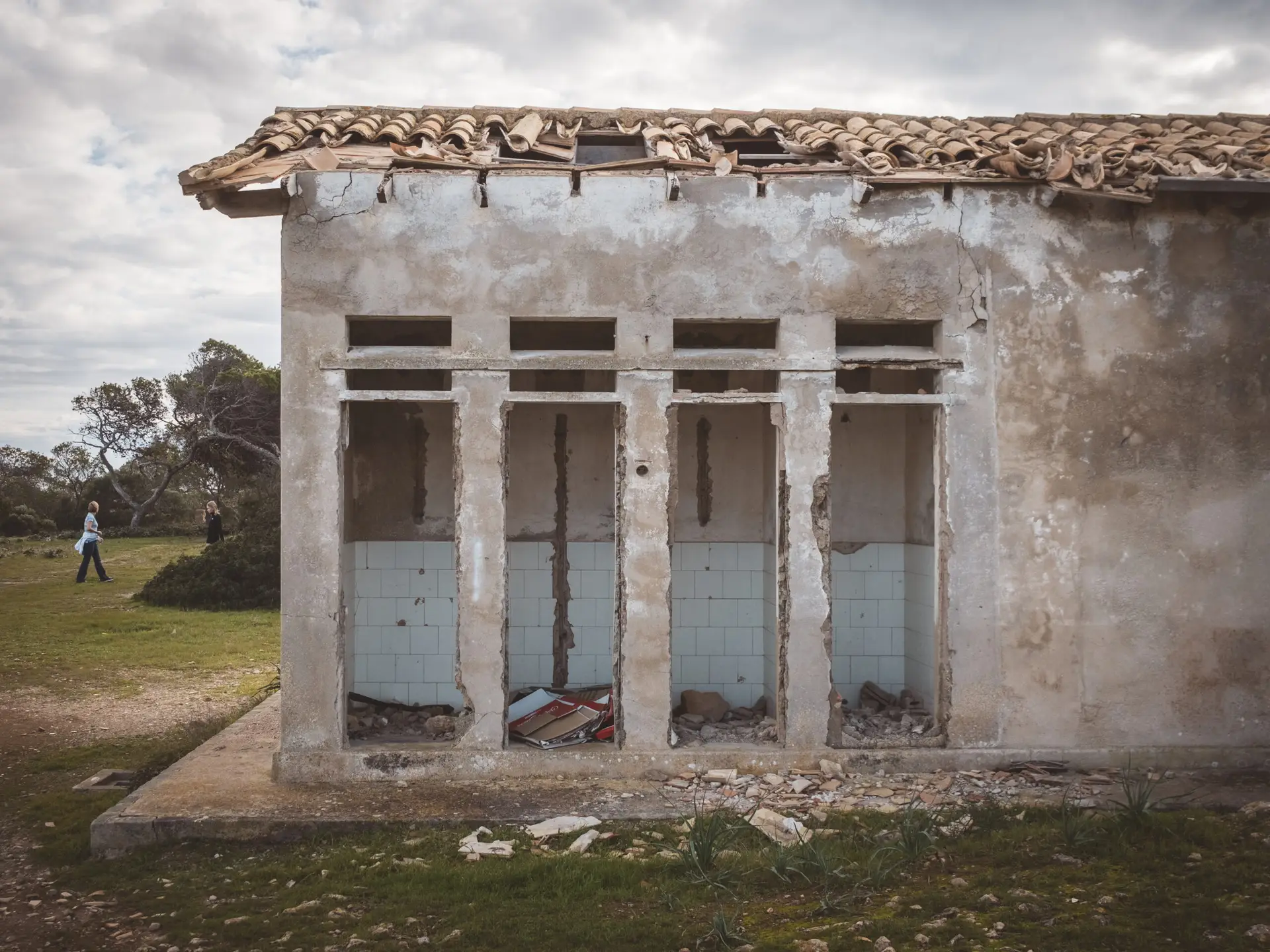
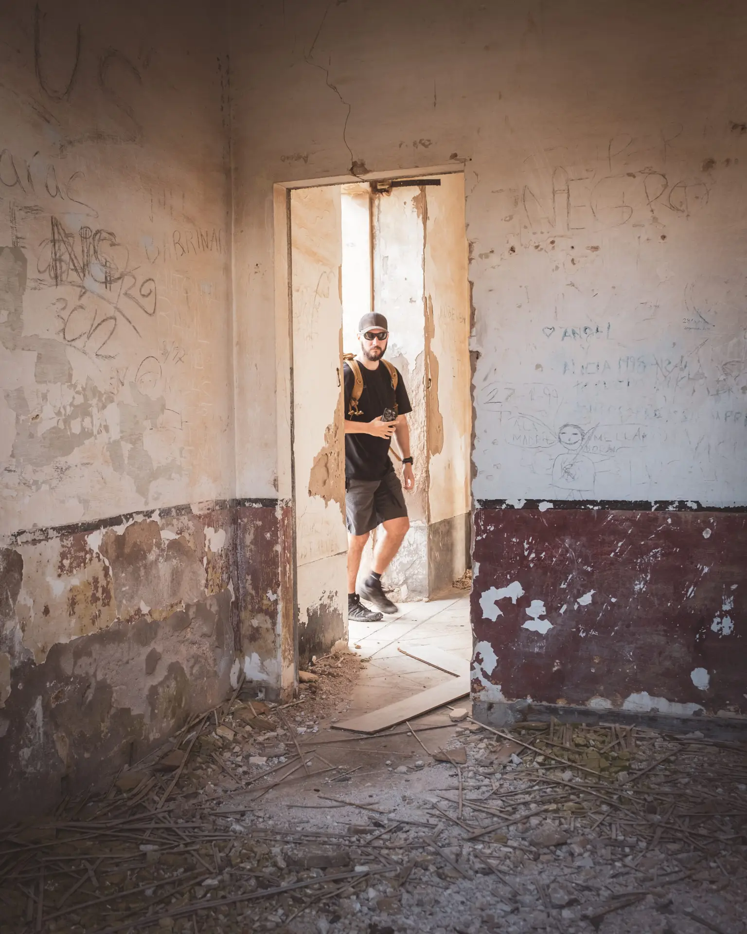
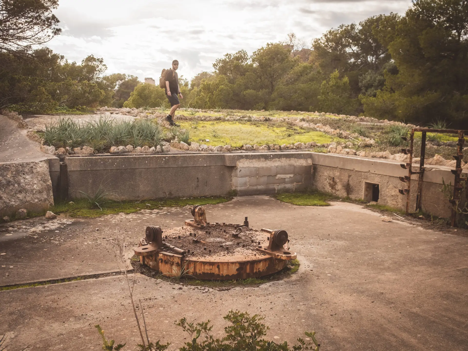
Coastal Battery Cala Figuera
The Cala Figuera battery was completed and made operational in 1919, following a royal decree from 1914. Its primary mission was to protect the Bay of Palma, for which it was equipped with four 15 cm Muñaiz-Argüelles guns, each with a range of 13 kilometers. Beneath each gun, there were powder chambers capable of storing 125 shells and fuses.
Construction work continued from 1923, with troop barracks being completed by 1928. In 1952, a guardhouse was built at the entrance, and in 1955, the battery was connected to the electrical grid, improving water supply to the accommodations.
Although the battery was designated as a reserve unit in 1958, it remained occupied by the military until it was finally decommissioned in 1996.
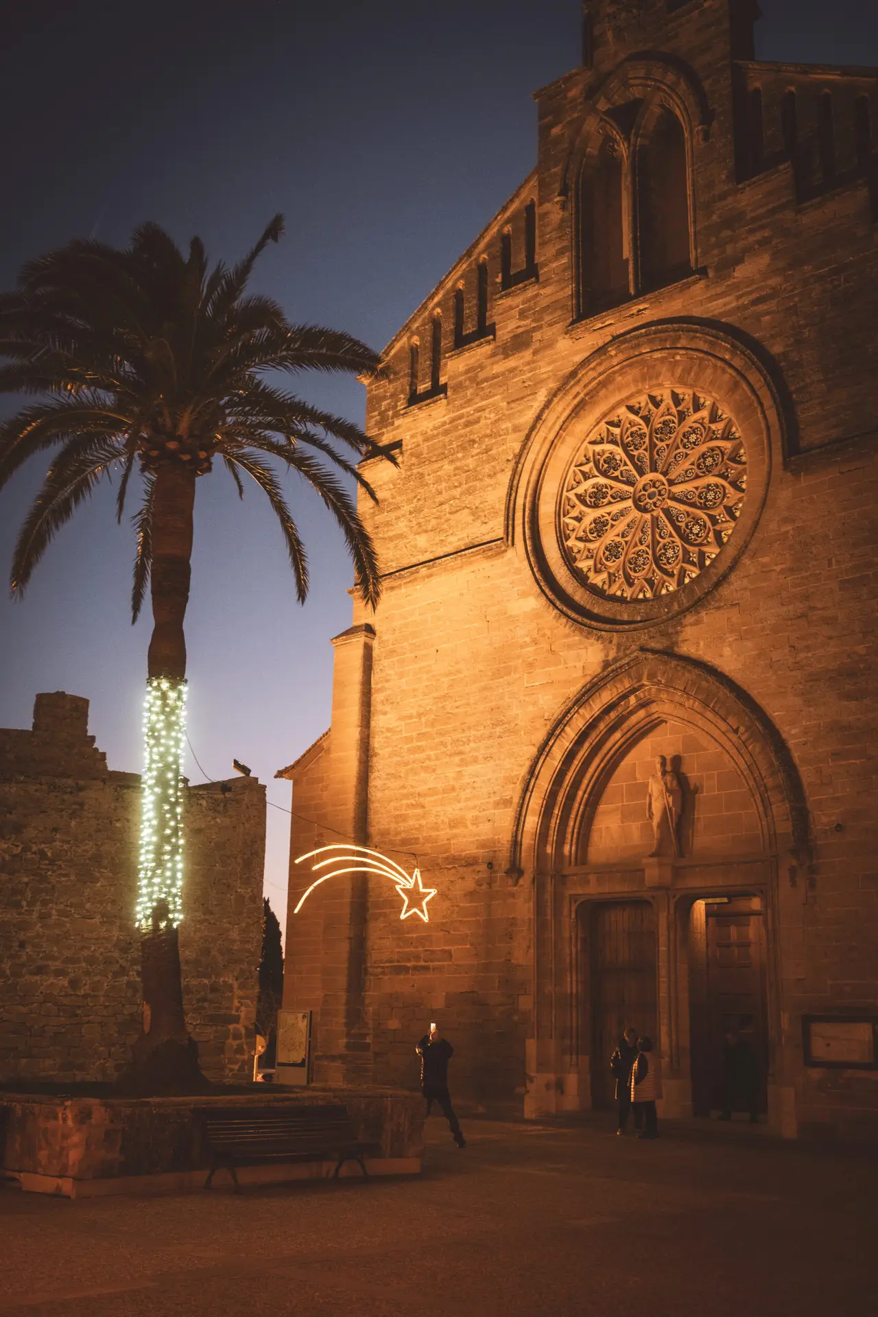
Festivals and Traditions on Mallorca
Mallorca is rich in traditional festivals that preserve the island’s cultural heritage. One of the most famous is the festival in honor of Sant Antoni (January 16–17), during which many villages host fire runs, devil parades, and large bonfires. The Dimonis (devils) symbolize the eternal struggle between good and evil.
Sie sehen gerade einen Platzhalterinhalt von YouTube. Um auf den eigentlichen Inhalt zuzugreifen, klicken Sie auf die Schaltfläche unten. Bitte beachten Sie, dass dabei Daten an Drittanbieter weitergegeben werden.
Mehr Informationen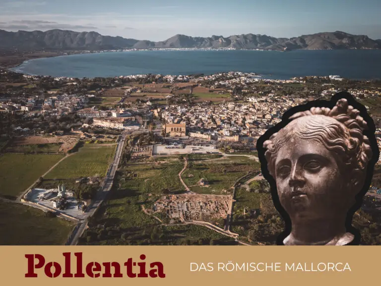
