Ardennes 🇧🇪 // 06-2024
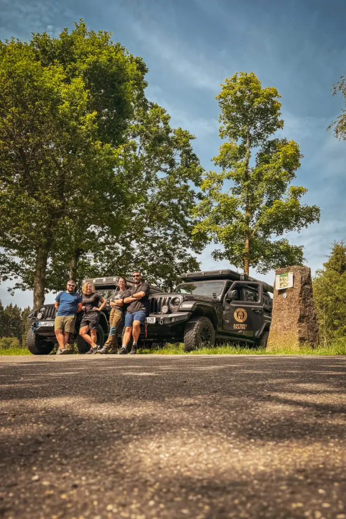
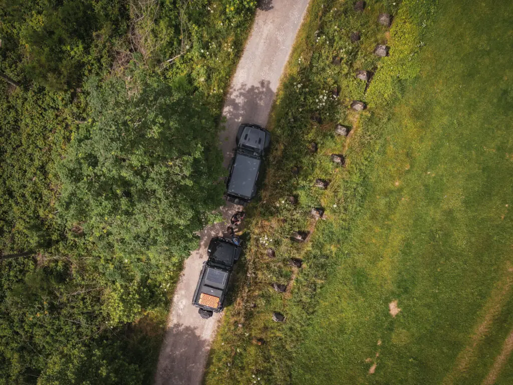
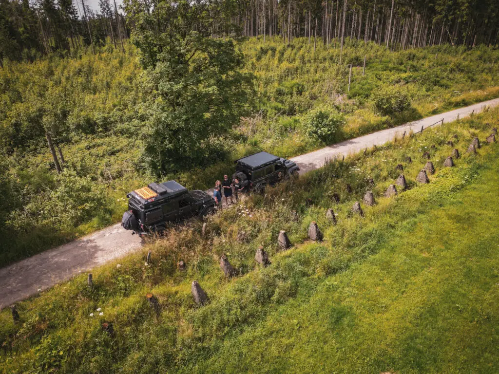
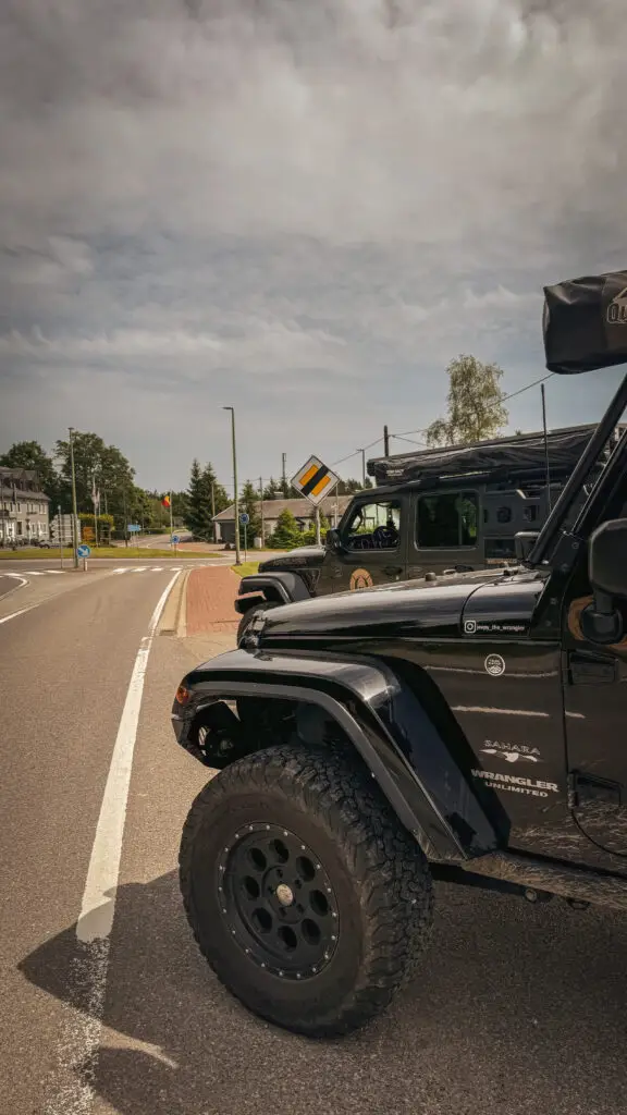
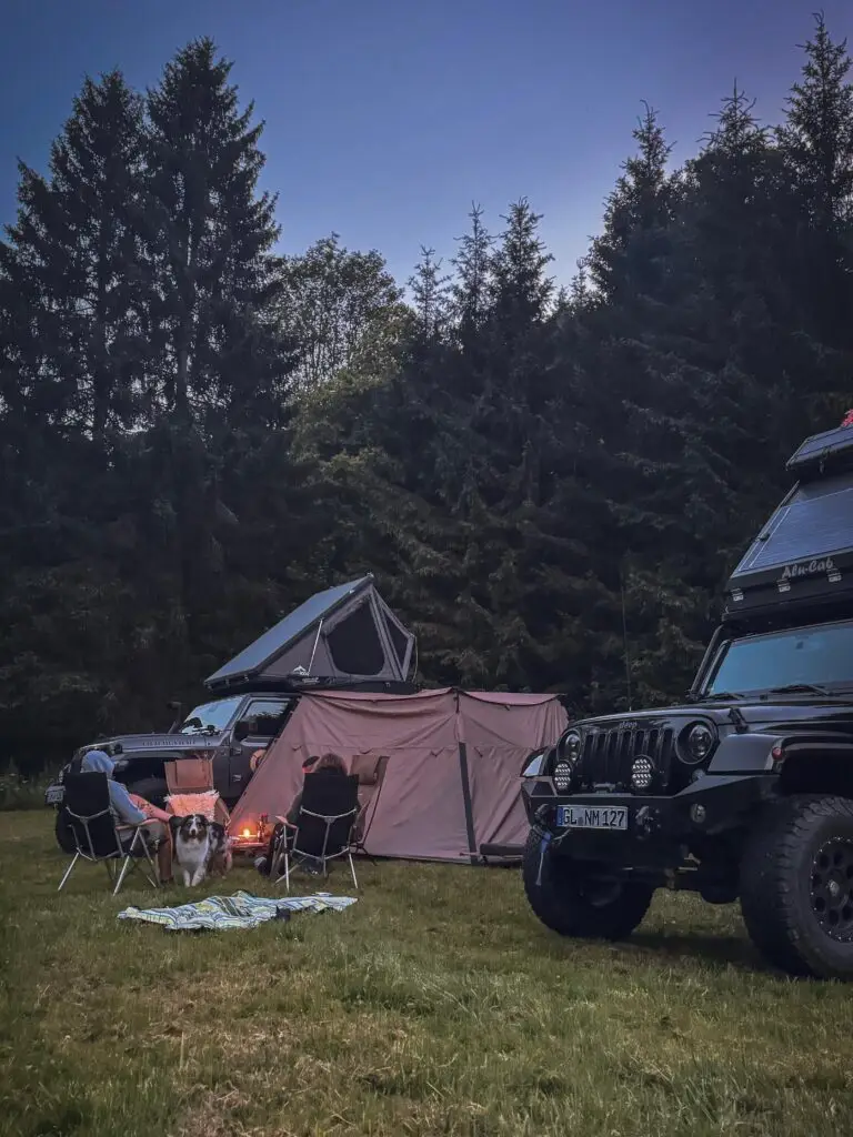
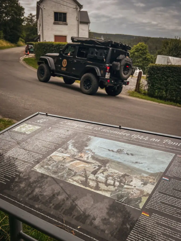
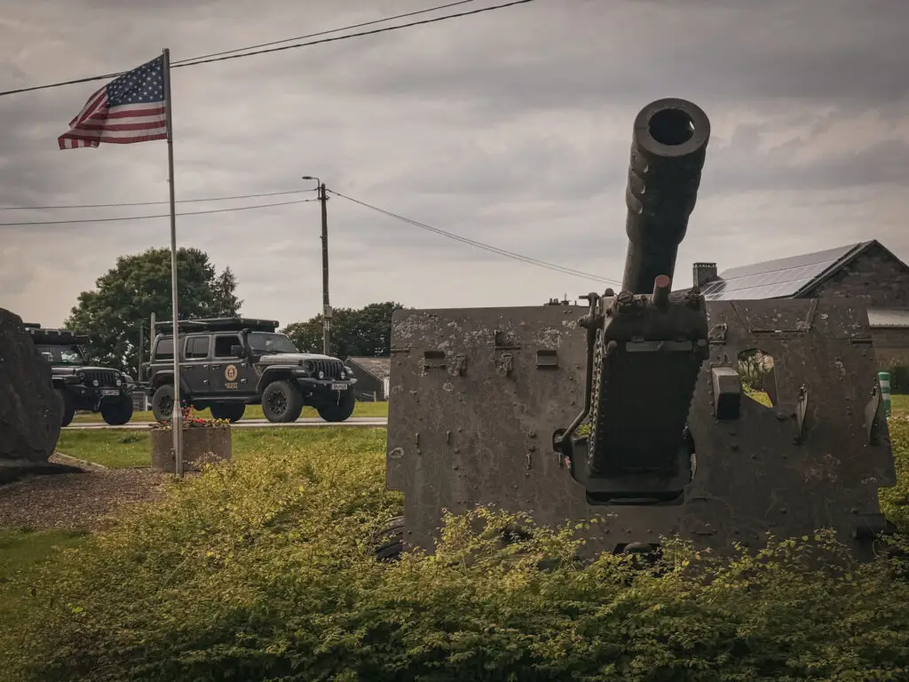
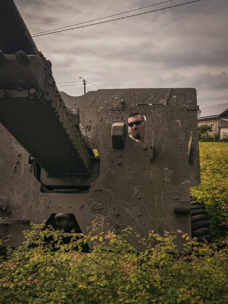
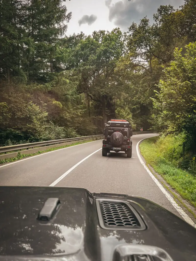
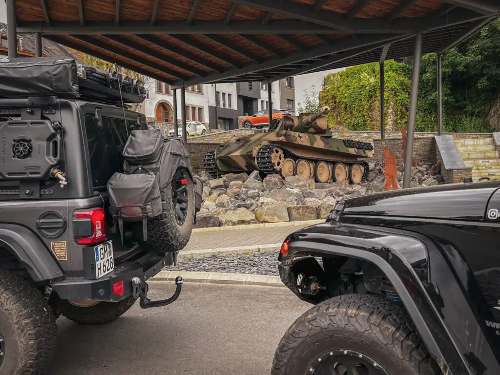
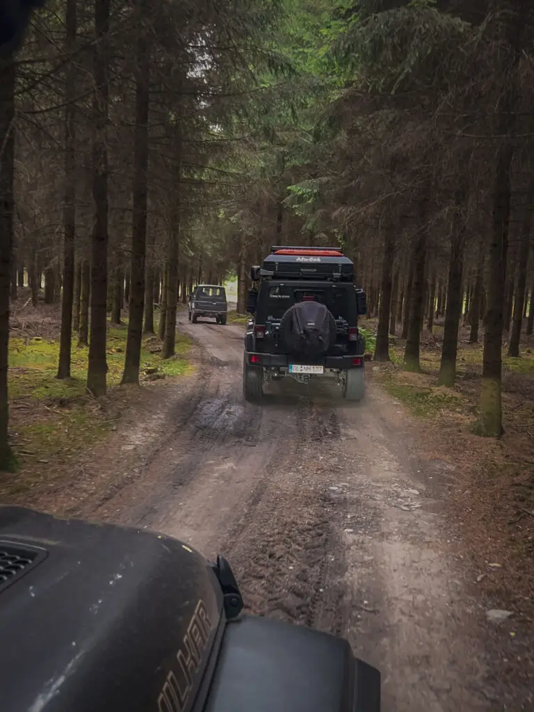
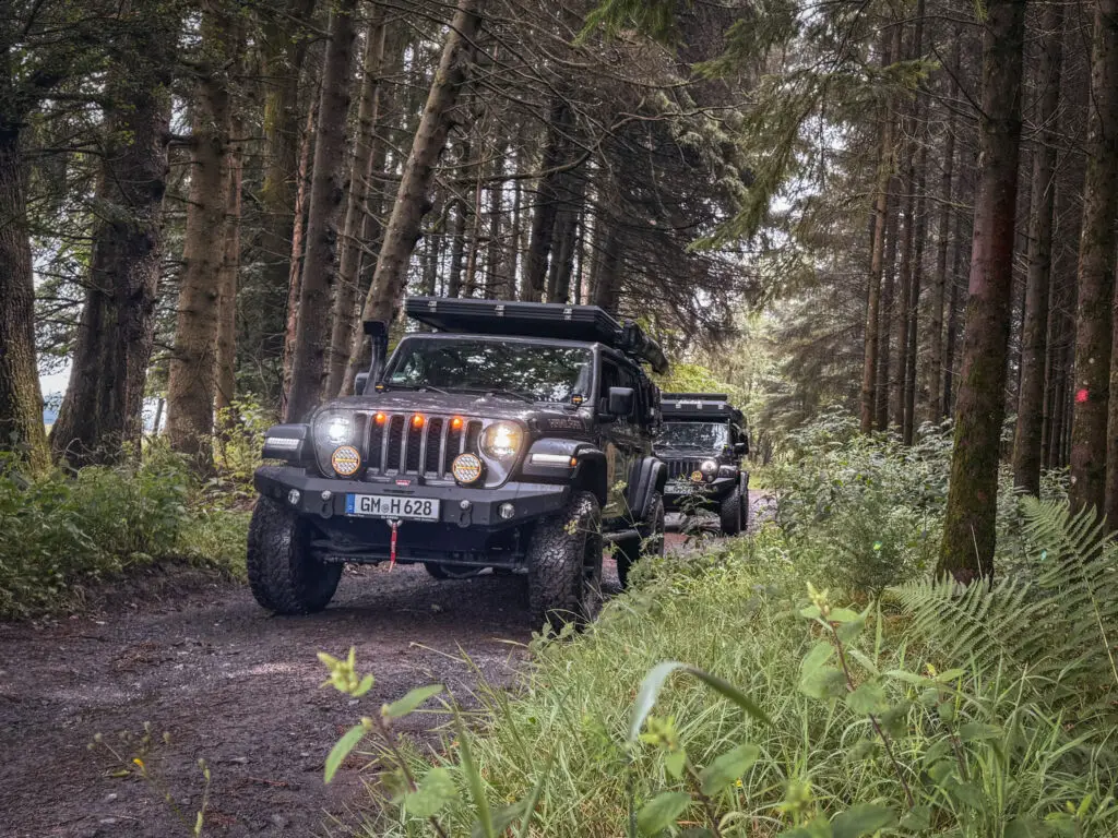
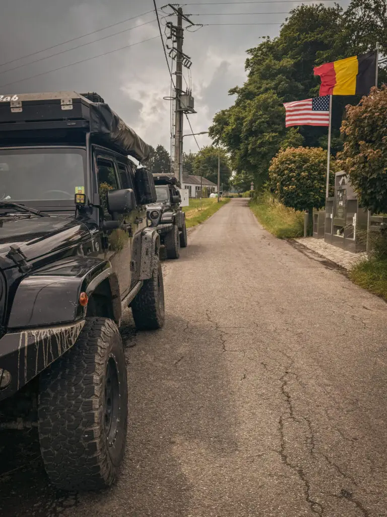
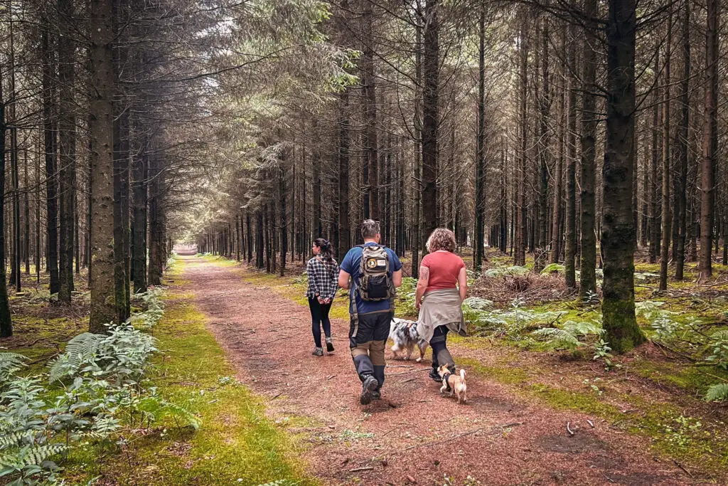
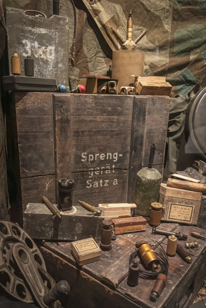
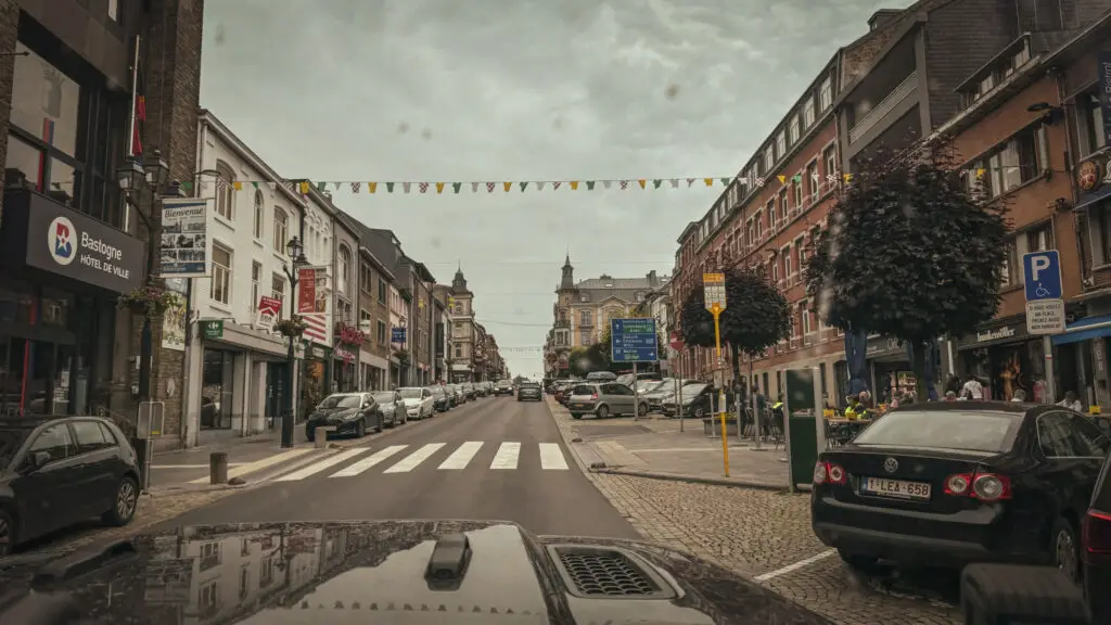
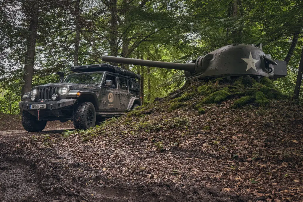
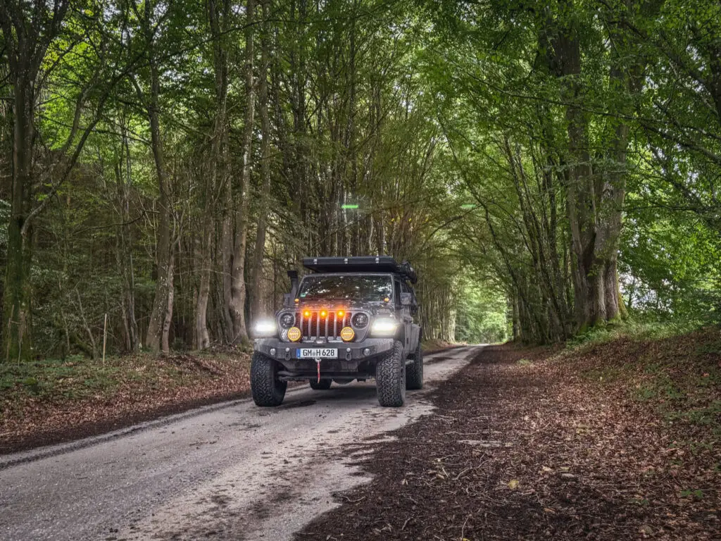
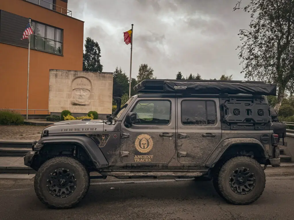
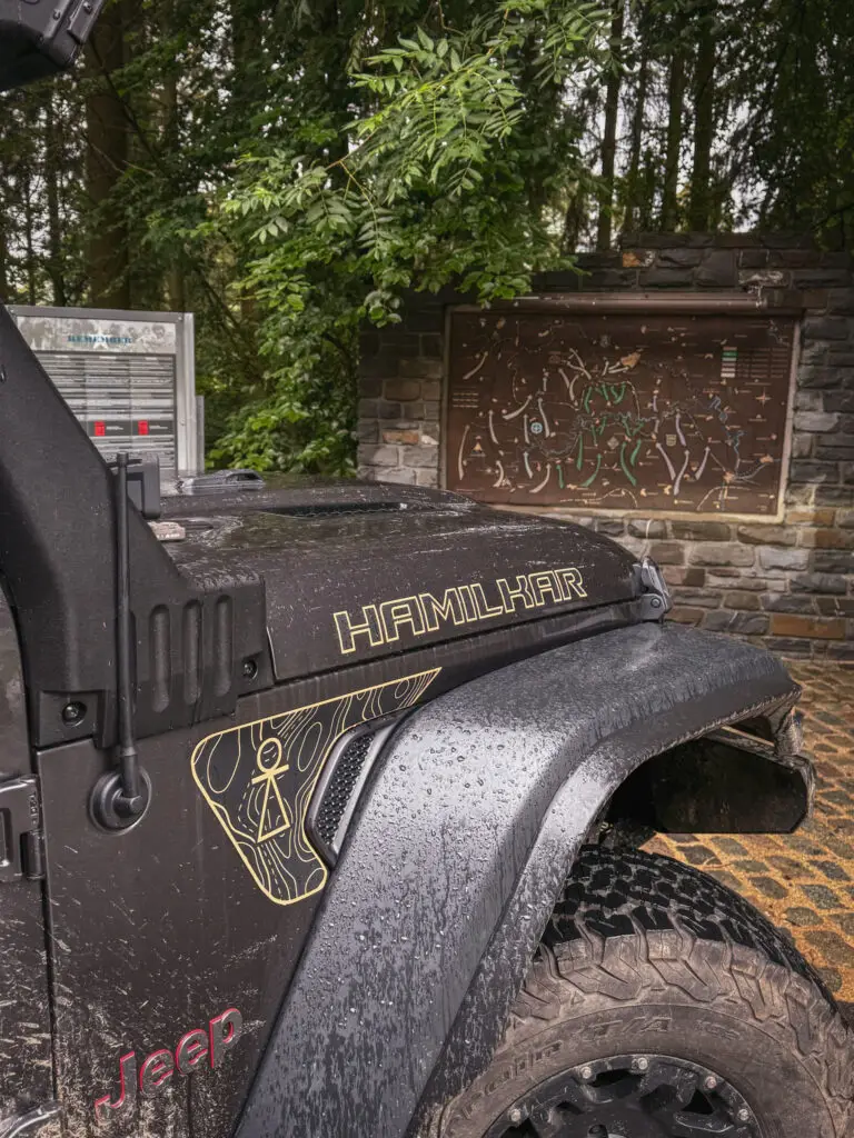
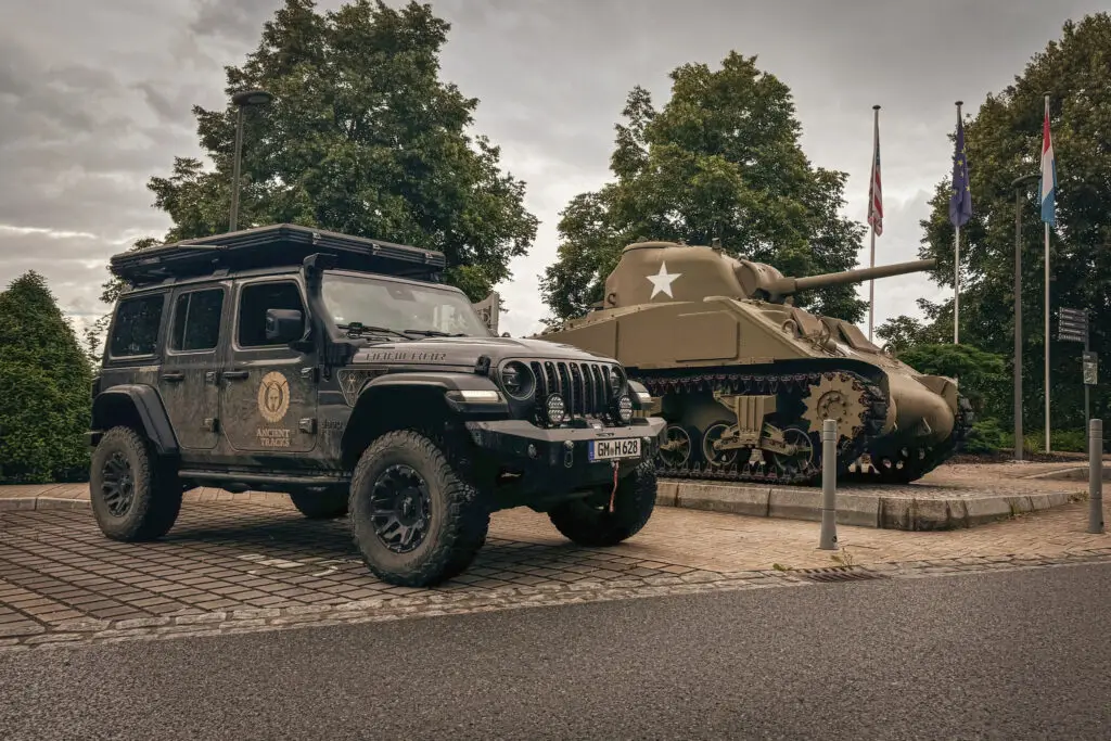
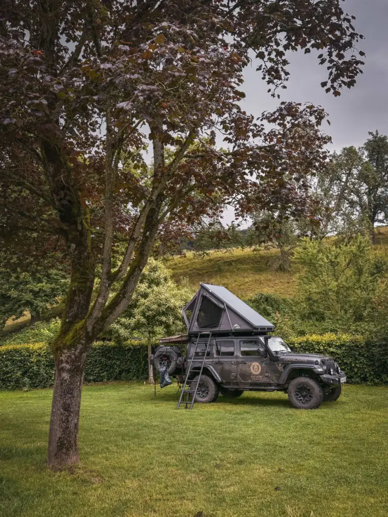
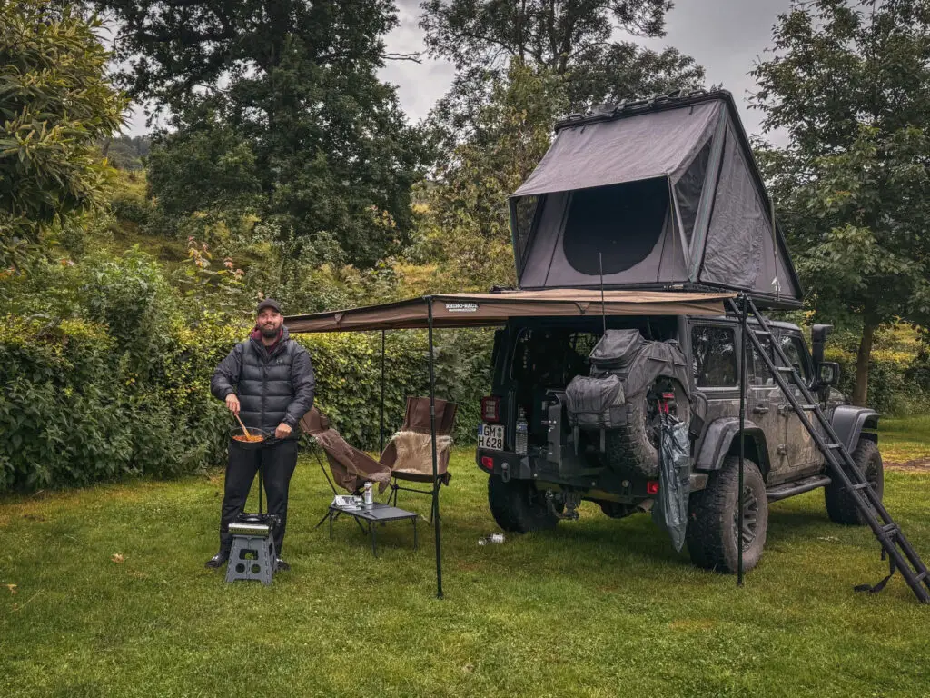
The next journey with @jeepy_the_wrangler took us to the Belgian Ardennes, following the theme of the last offensive push of the German army: the "Ardennen Offensive" (known as the Battle of the Bulge).
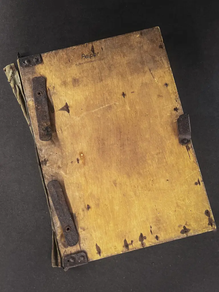
After some research and preparation, we closely followed the tracks of Kampfgruppe Peiper and Operation Greif under Otto Skorzeny, then visited the American sector around Bastogne. To conclude our journey, we explored Luxembourg’s World War II sites, including Schumannseck and Ettelbruck.
What was the Battle of the Bulge?
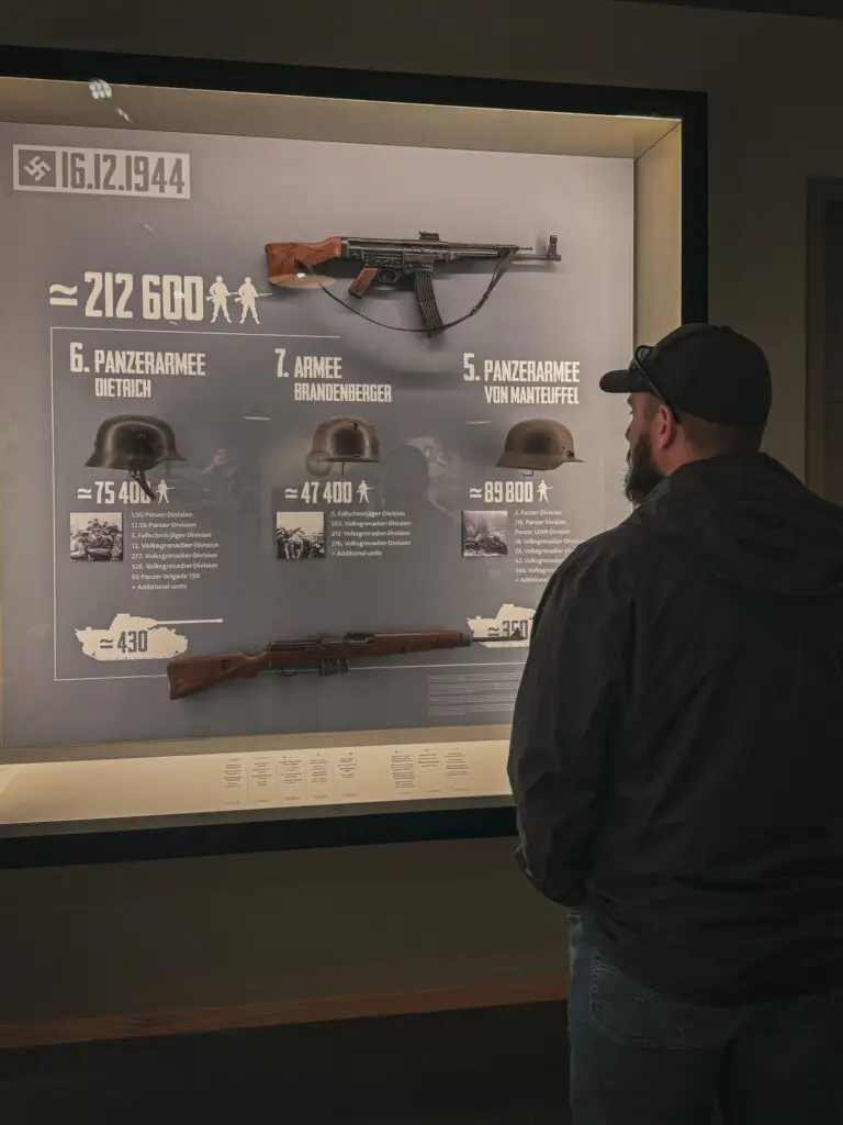
The Battle of the Bulge (German: 'Ardennen Offensive') was a major German military offensive during World War II. It took place from December 16, 1944, to January 25, 1945, and was the last major attack by the German Wehrmacht on the Western Front.
The offensive was personally planned by Adolf Hitler and aimed to break through the Allied lines in the Ardennes, a forested region in Belgium and Luxembourg. The goal was to split the Allied forces, capture the port of Antwerp, and possibly force the Western Allies into a separate peace.
The German army relied heavily on surprise and adverse weather conditions to neutralize Allied air superiority. Despite initial successes and the creation of a bulge in the Allied lines, the Germans were ultimately unable to achieve their objective.
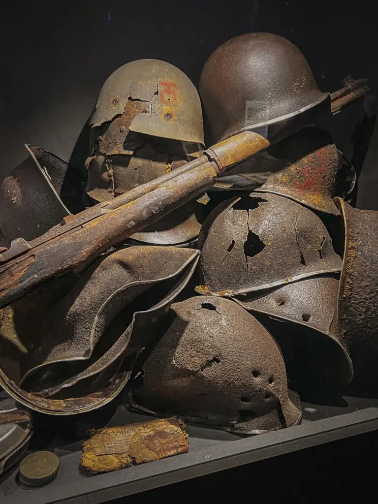
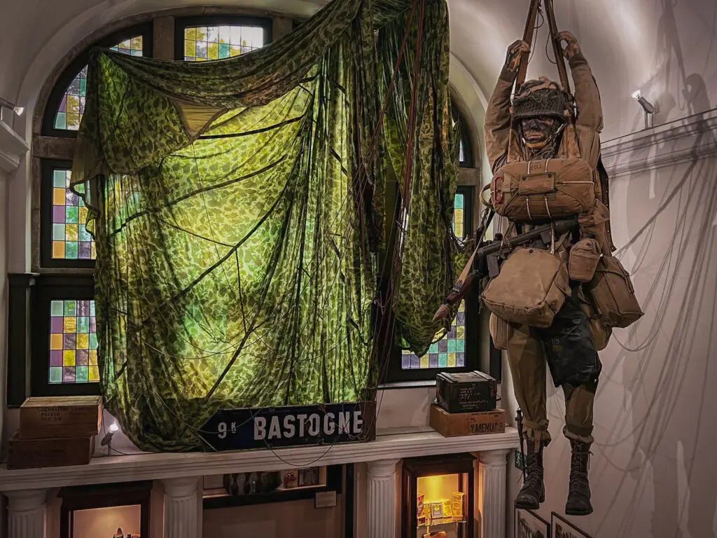
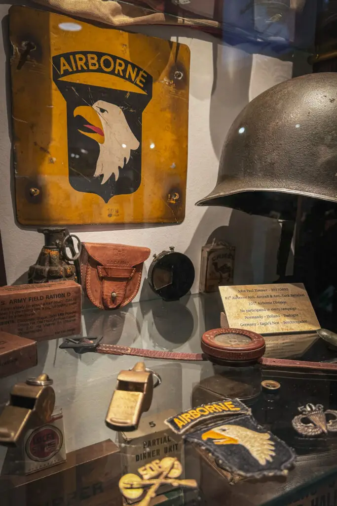
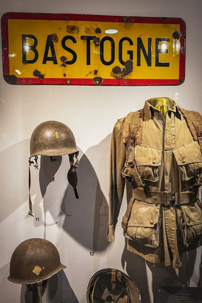
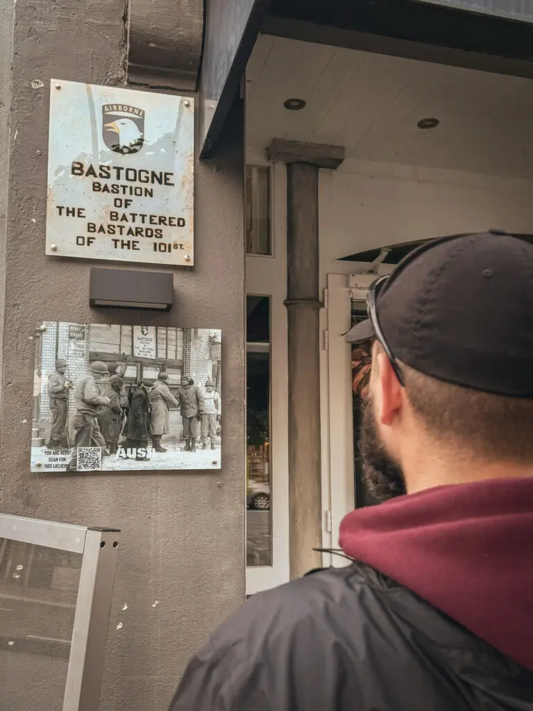
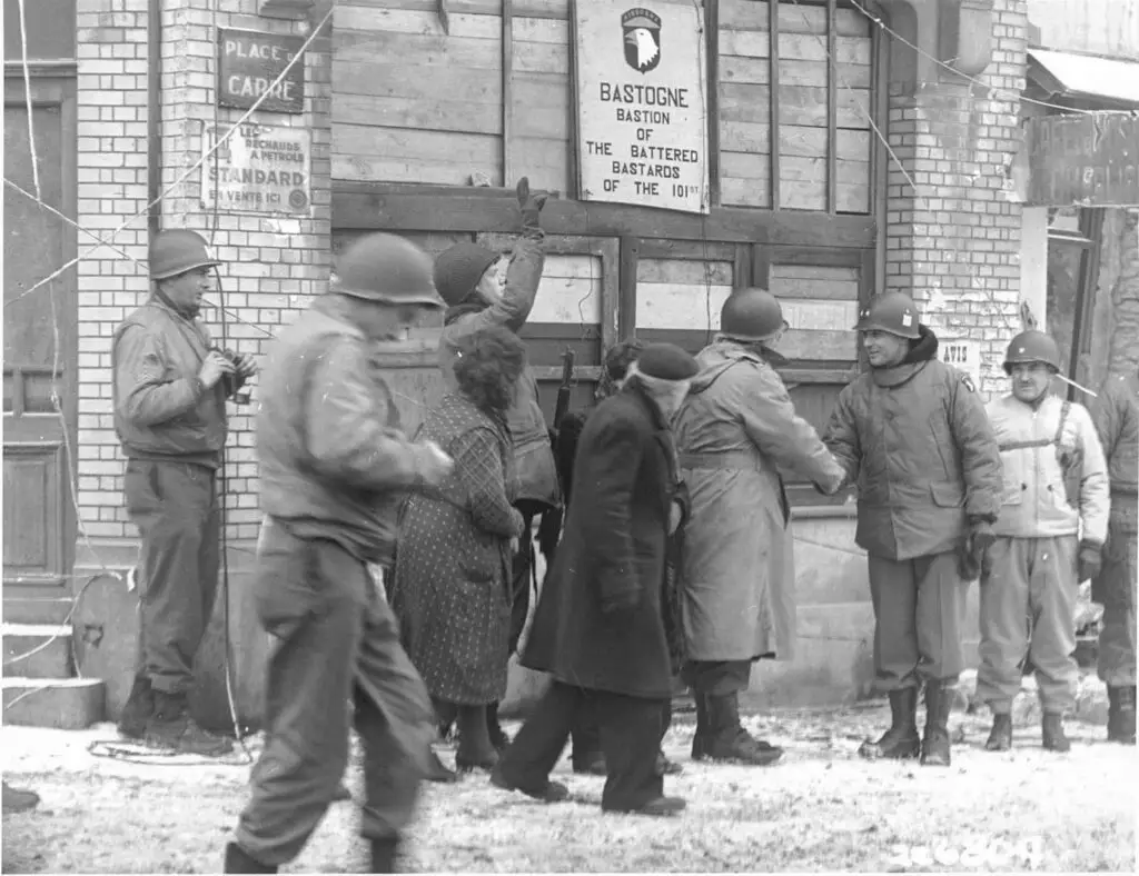
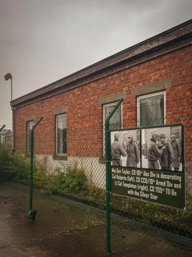
The Allies, especially American troops, put up strong resistance. The defense of the Belgian town of Bastogne by the 101st U.S. Airborne Division became particularly well known. The offensive ultimately failed, forcing the German troops to retreat, further depleting their resources and morale.
The Battle of the Bulge is considered one of the bloodiest battles for the U.S. Army in World War II and marked the beginning of the final collapse of the German Wehrmacht on the Western Front.
The Locations
Day 1 – From the assembly area at the Belgian border to Bastogne
We allocated a day for the drive to Bastogne, retracing the route of Kampfgruppe Peiper and stopping at interesting points along the way:
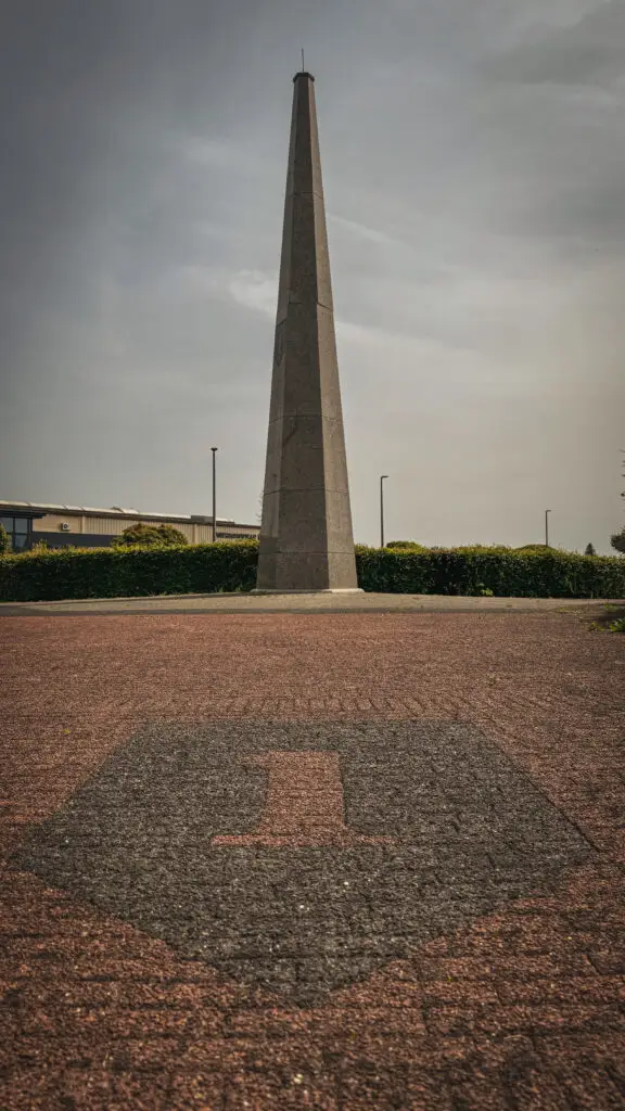
Starting Point of the Ardennes Offensive / Losheimergraben / Big Red One Obelisk
How to get there?
- Starting point of the Ardennes Offensive on Google Maps,
Coordinates: 50°27’07.8″N 6°22’30.3″E - Losheimergraben on Google Maps,
Coordinates: 50°22'47.4"N 6°20'33.1"E - Big-Red-One Obelisk on Google Maps,
Coordinates: 50°24'31.1"N 6°13'50.8"E
Baugnez Crossroads
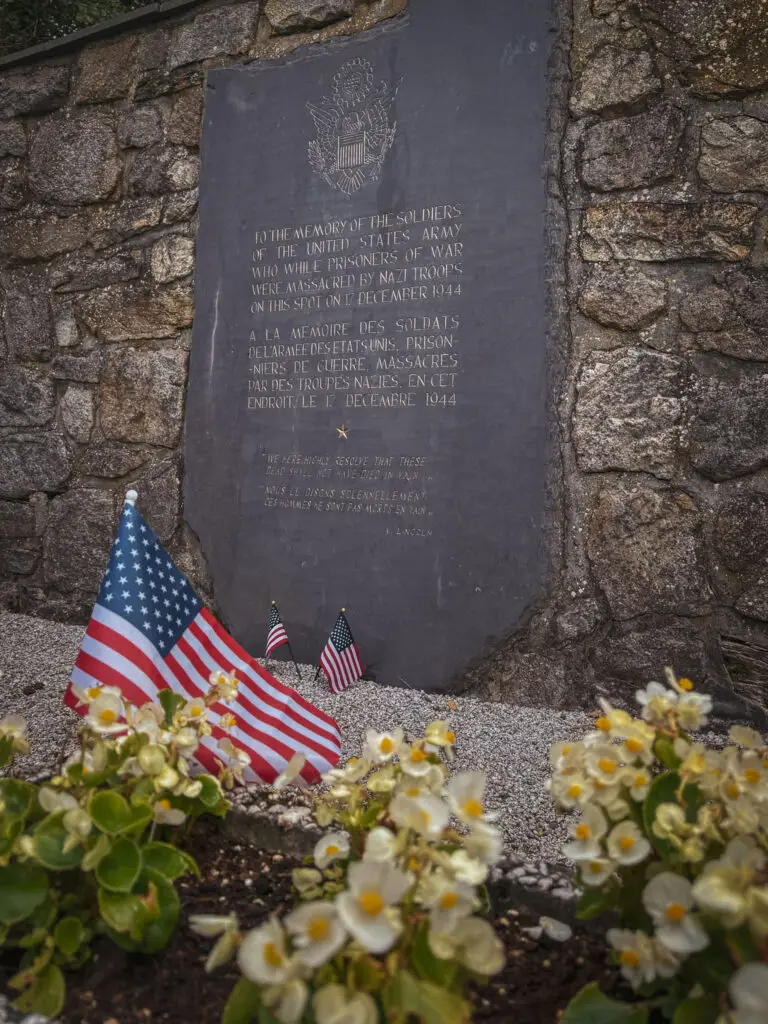
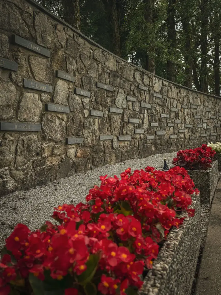
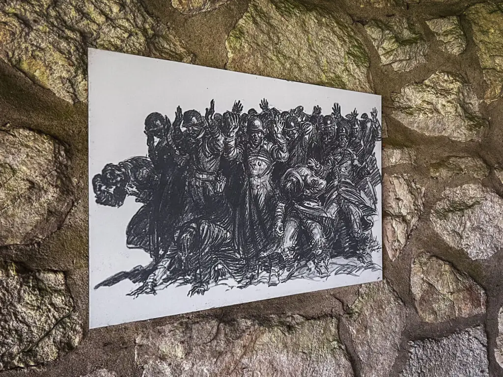
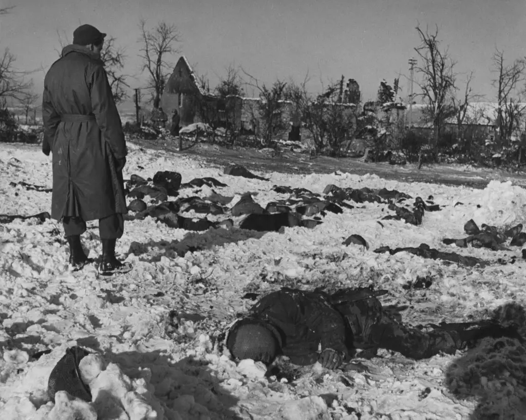
At this crossroads near Baugnez, southeast of Malmedy, Kampfgruppe Peiper encountered a truck convoy of Battery B of the 285th Field Artillery Observation Battalion of the U.S. Army. After the convoy was overwhelmed, advancing SS units murdered at least 82 prisoners of war. This event became known as the Malmedy Massacre. Today, a memorial commemorates this event.
The Baugnez '44 Historical Center, which we visited a few years ago, unfortunately had to close permanently in 2023 due to a lack of succession.
How to get there?
- Baugnez Crossroads on Google Maps,
Coordinates: 50°24’13.8″N 6°04’00.4″E
Stavelot
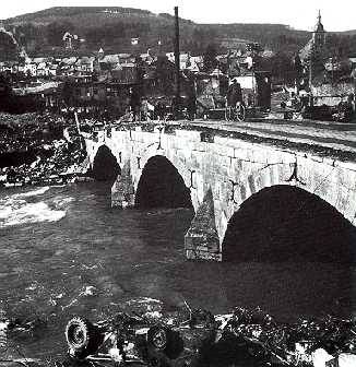
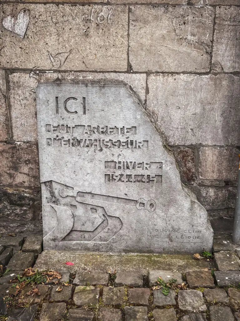
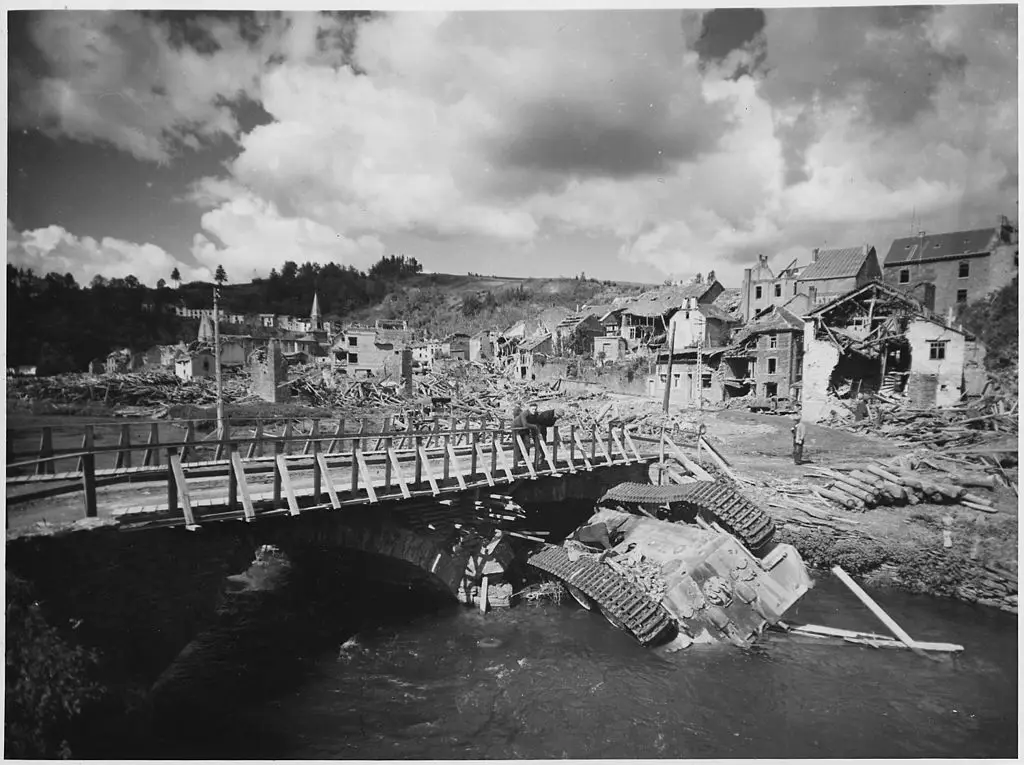
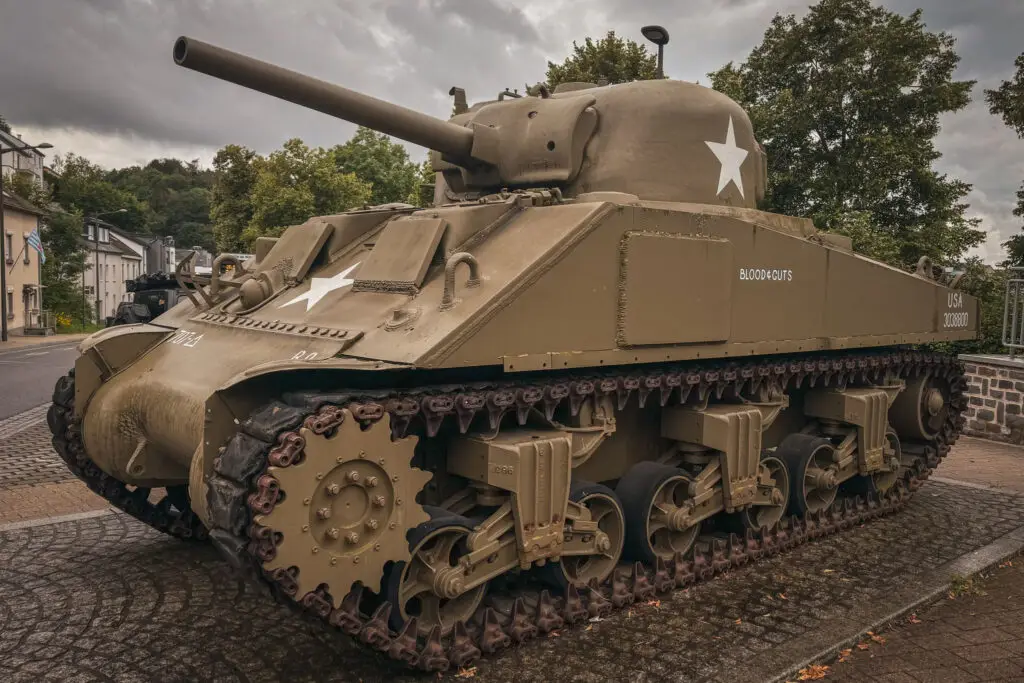
There were only a few bridges in the Ardennes that could support the weight of tanks, so the route of the Ardennes Offensive led through Stavelot.
When Kampfgruppe Peiper reached the town, they were held up by American troops. This delay allowed time to withdraw units and destroy millions of liters of fuel to prevent it from falling into German hands.
German forces also committed war crimes against the civilian population in Stavelot and the surrounding villages.
How to get there?
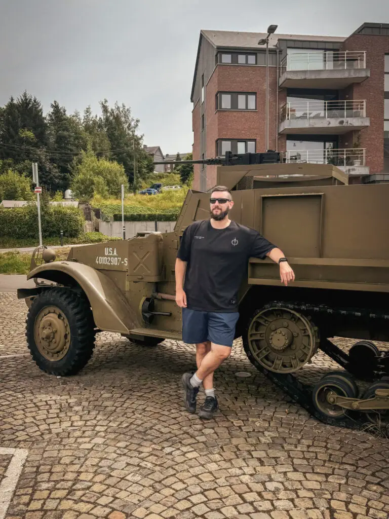
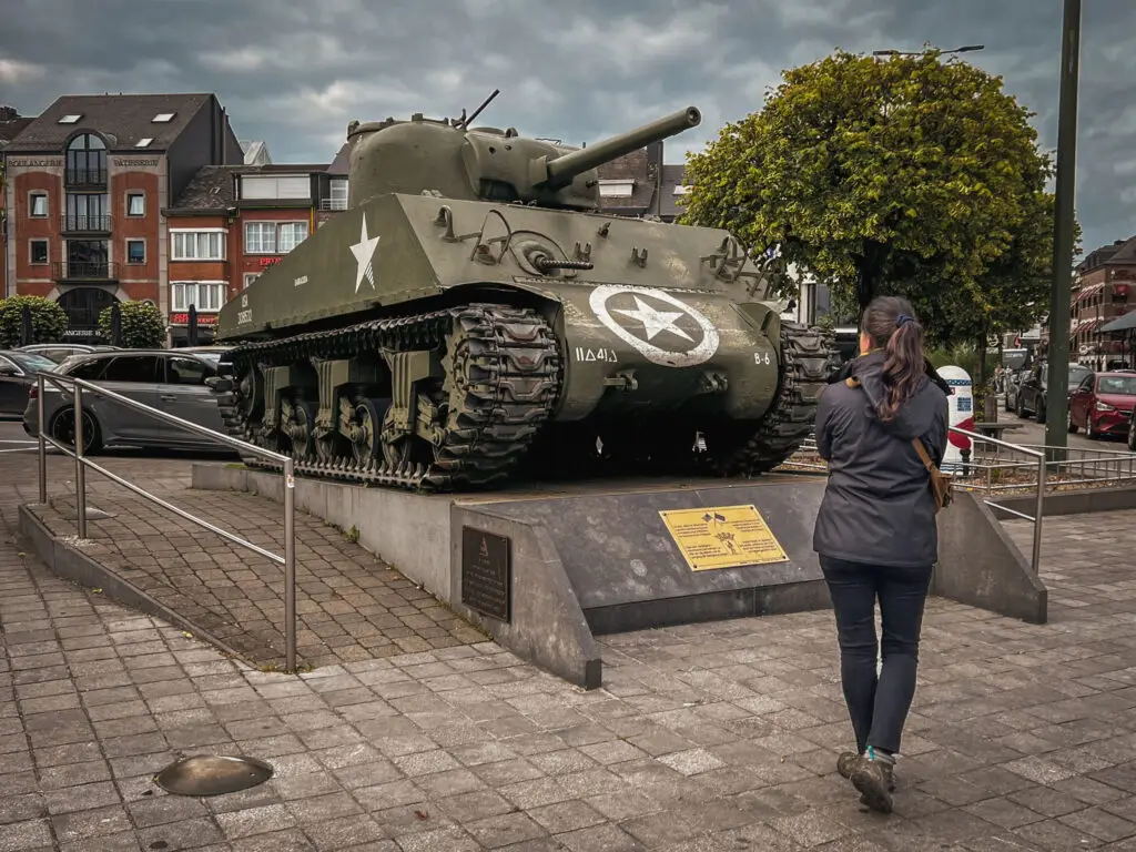
- Bridge & M4 tank in Stavelot on Google Maps, Coordinates: 50°23’29.2″N 5°55’55.7″E
La Gleize
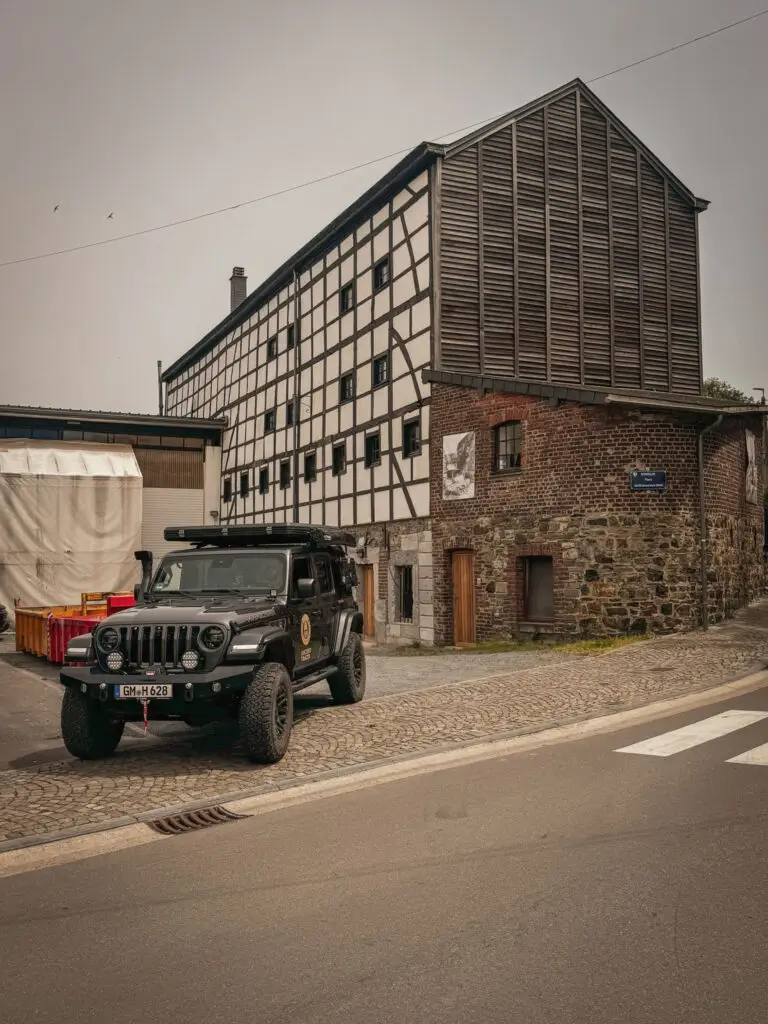
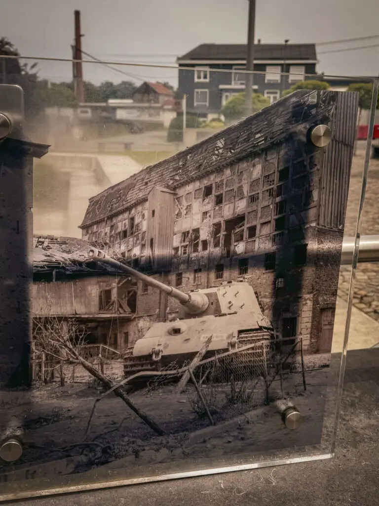
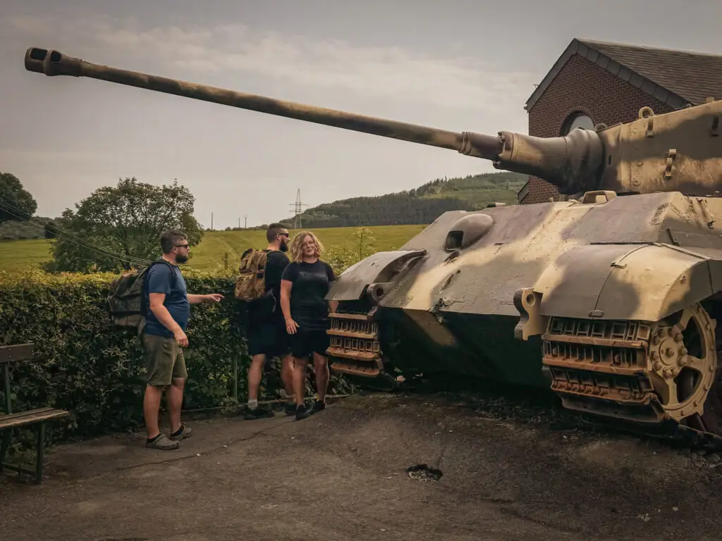
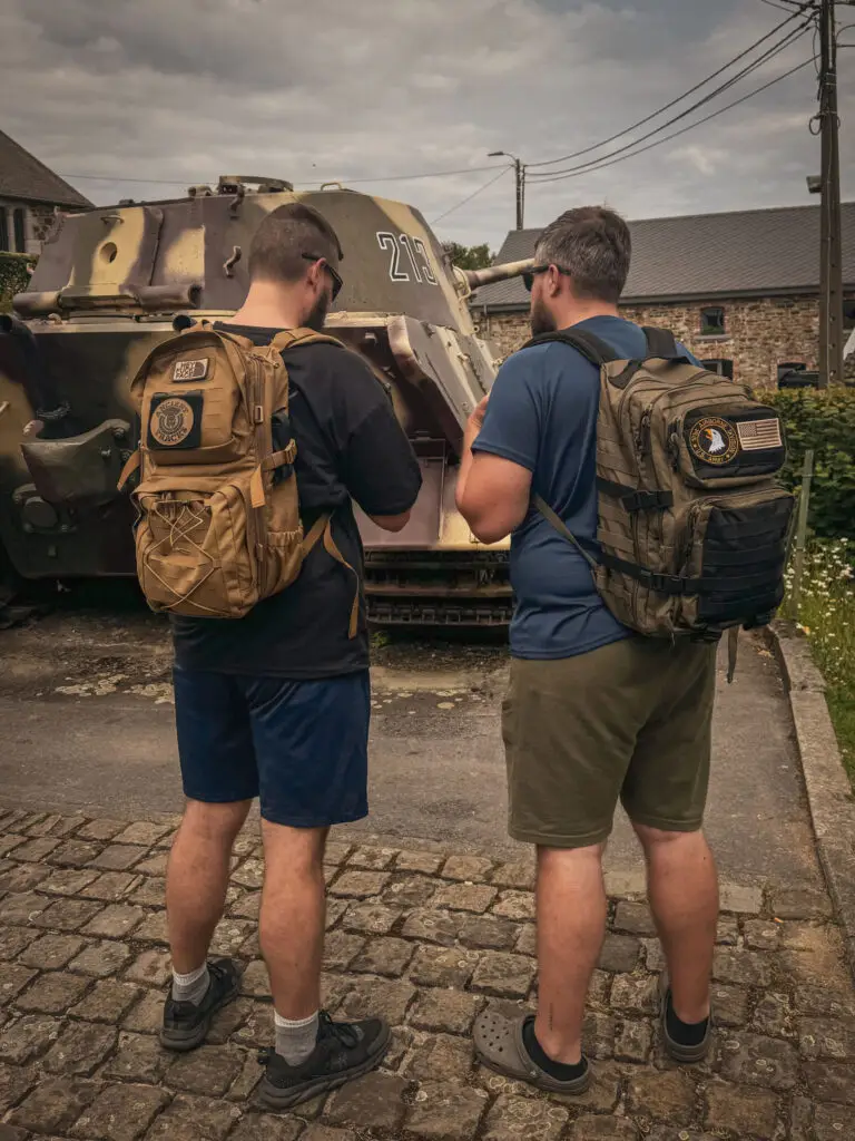
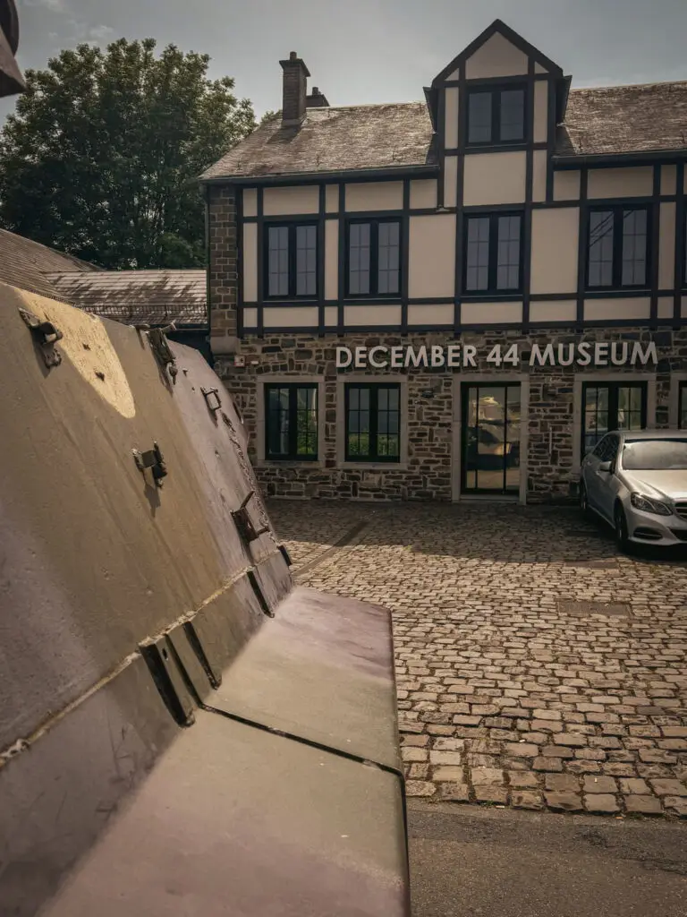
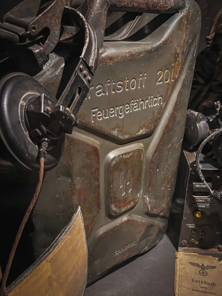
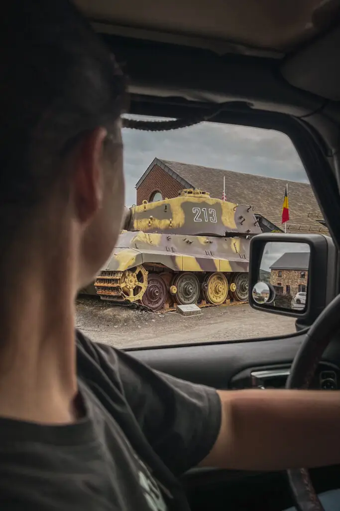
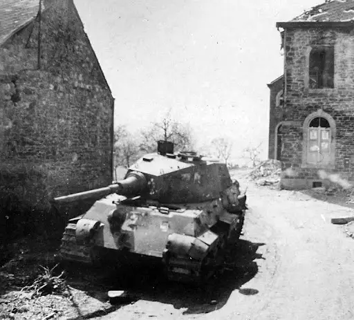
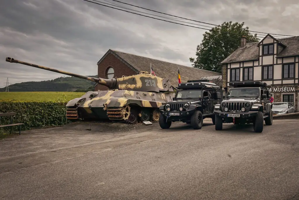
During the offensive, the Wehrmacht encountered U.S. troops here in La Gleize and was encircled. Today, a small but well-curated museum is located in the former German field hospital. The Königstiger 213, commanded by Dollinger, was left behind here in La Gleize along with 135 other armored vehicles.
How to get there?
- December 44 Museum on Google Maps,
Coordinates: 50°24’36.5″N 5°50’46.0″E,
Website: www.december44.com
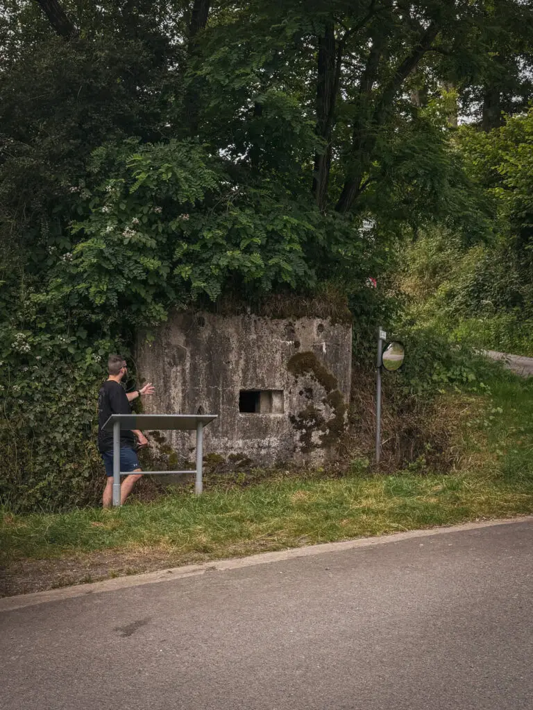
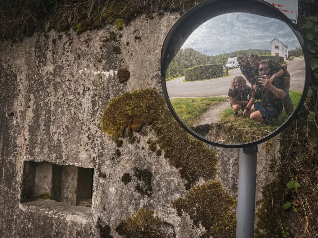
Cheneux Bunker
An Allied airstrike forced Peiper to take shelter in this bunker, which had been built by the Belgians around 1930. This delayed the offensive by several hours.
How to get there?
- Bunker in Cheneux on Google Maps,
Coordinates: 50°23’46.6″N 5°49’10.5″E
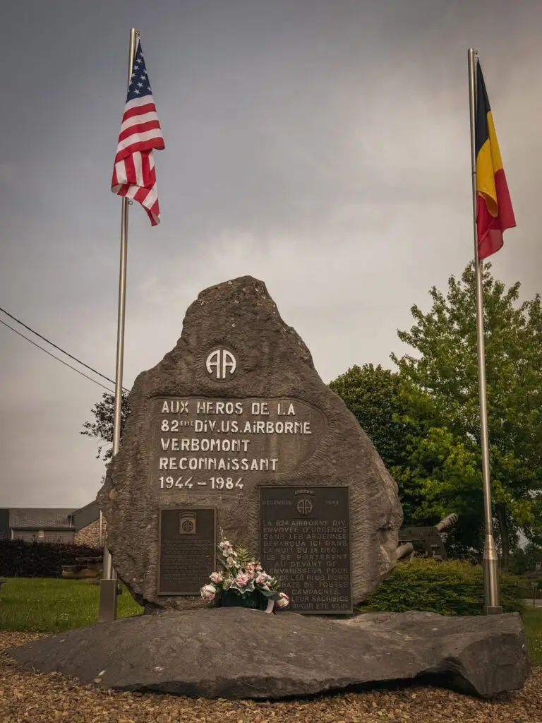
Monument 82nd Airborne Division
How to get there?
- 82nd Airborne Monument on Google Maps,
Coordinates: 50°22’48.2″N 5°41’11.8″E
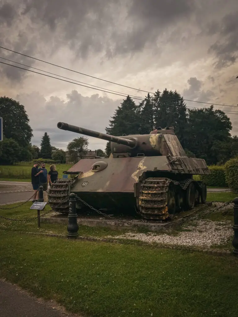
Tank Wrecks: Panther of Manhay
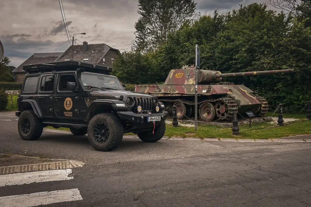
The Panther Ausf. G 407 was abandoned due to a lack of fuel.
How to get there?
- Panzerkampfwagen V Panther on Google Maps,
Coordinates: 50°17’27.0″N 5°39’36.9″E
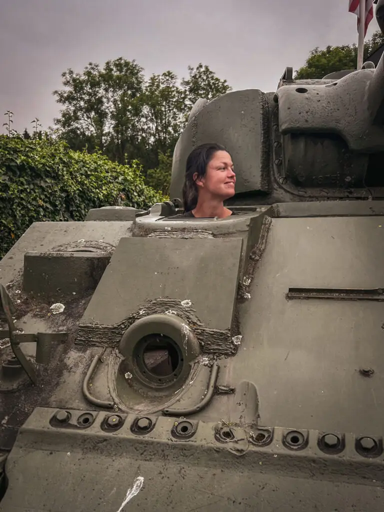
Tank Wrecks: Sherman of Wibrin
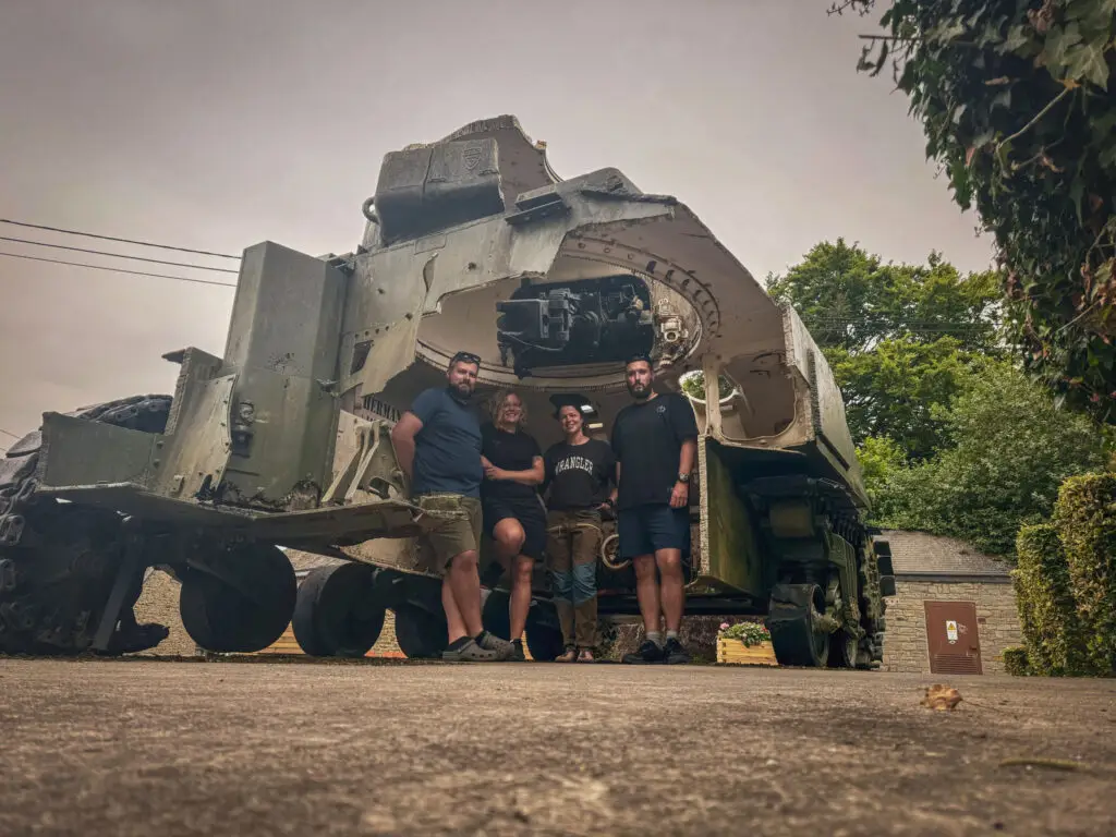
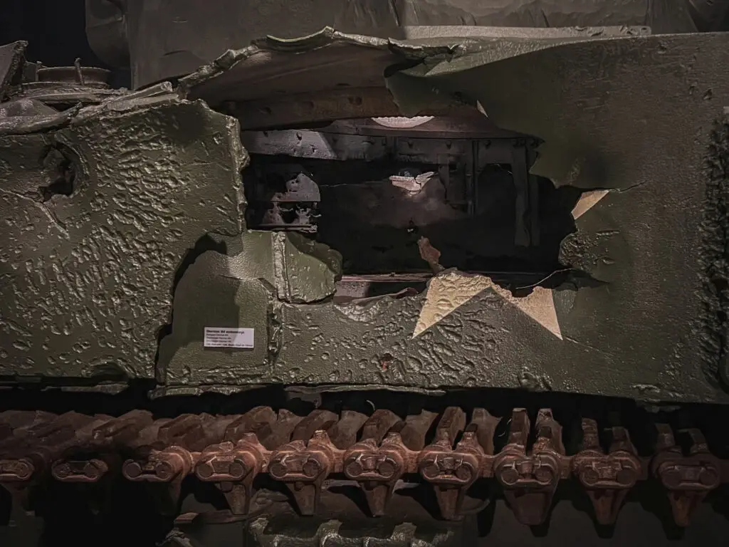
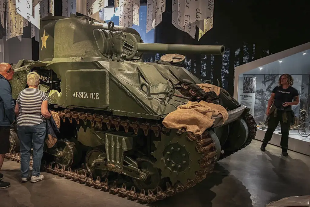
The 'Unlucky Sherman' was destroyed in January 1945. The 2nd Armored Division encountered a German blockade near Wibrin, consisting of two Panthers and a StuG, which took out six American Shermans.
The unexploded shell in the barrel was only detonated after the war by Belgian bomb disposal units.
The tank was intended to be preserved as a memorial, but premature scrappers had already begun dismantling it before being stopped by the mayor’s son. As a result, the Sherman now offers a rare opportunity to look inside.
How to get there?
- M4 Sherman in Wibrin on Google Maps,
Coordinates: 50°09’58.7″N 5°43’09.9″E
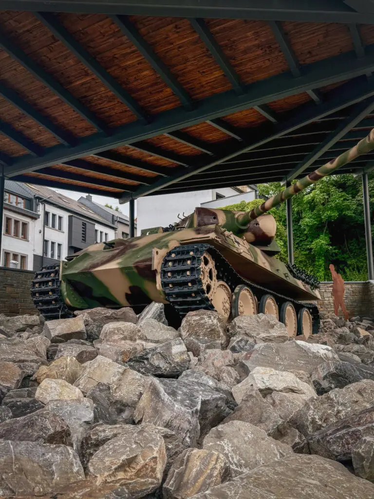
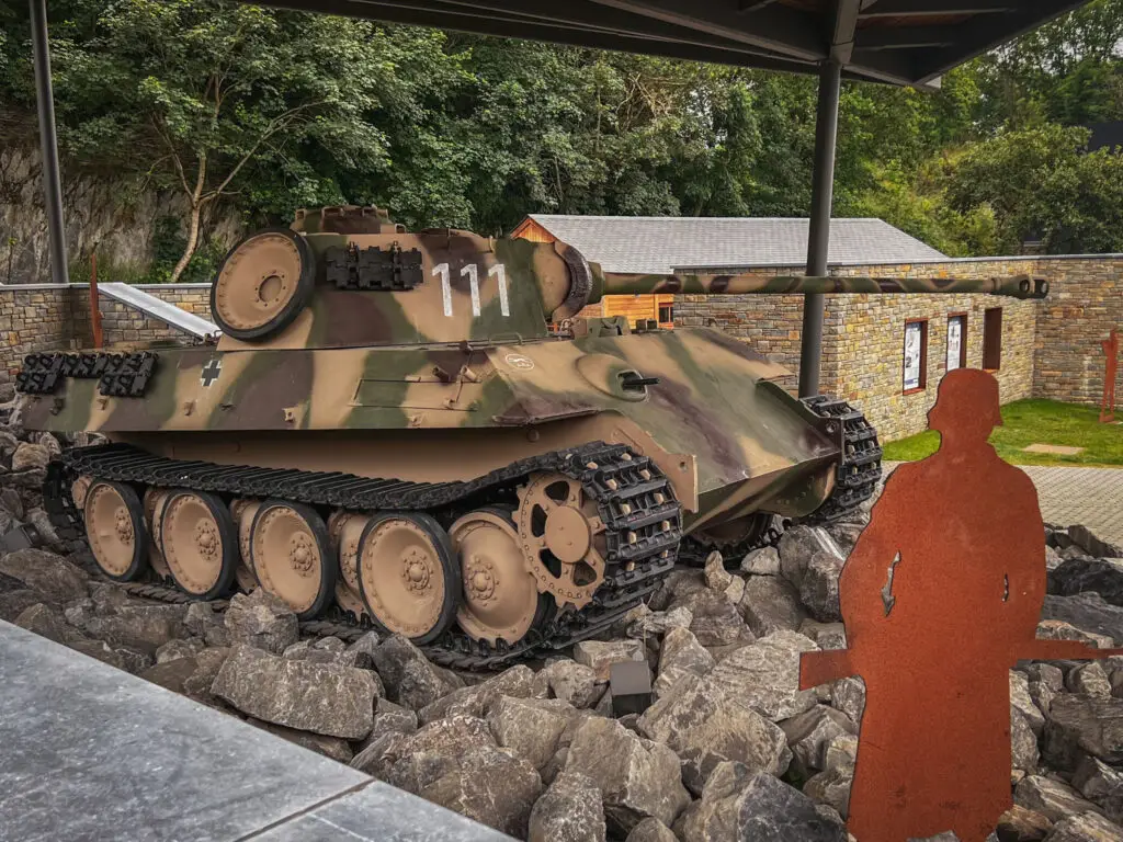
Tank Wrecks: Panther of Houffalize
Houffalize was an important strategic point due to its bridge over the Ourthe River. This Panther entered the town on December 19, 1944, and — either due to poor visibility or the numerous bomb impacts — ended up flipping over next to the bridge into the Ourthe. The crew did not survive.
How to get there?
- Panzerkampfwagen V Panther at Houffalize on Google Maps,
Coordinates: 50°07’44.9″N 5°47’26.7″E
Day 2 – The Encirclement of Bastogne and the 101st Airborne
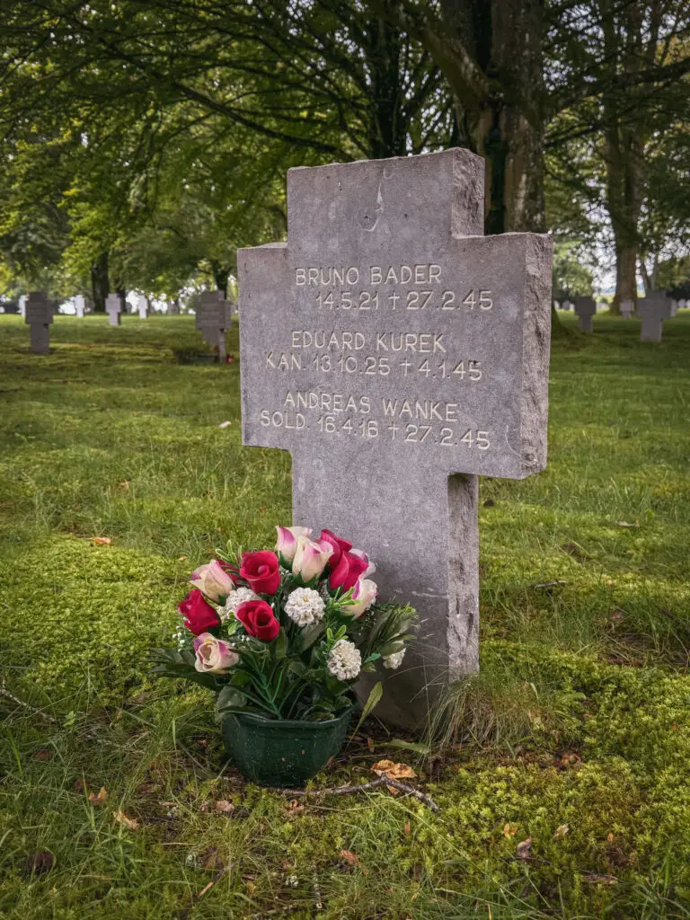
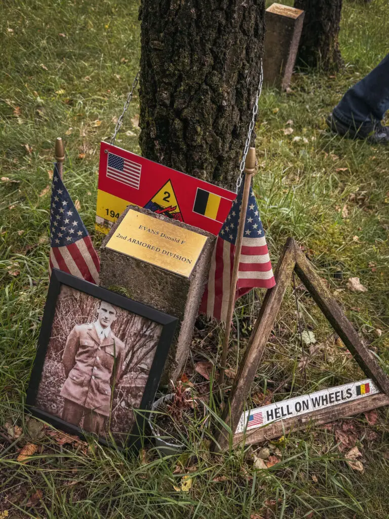
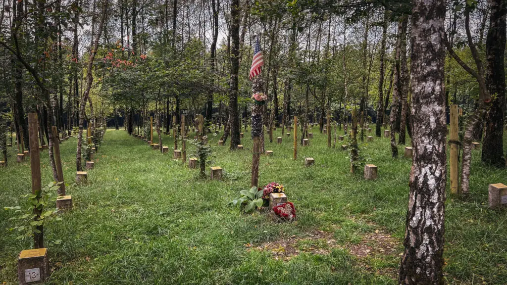
German Soldiers' Cemetery Recogne & American Temporary Cemetery
How to get there?
- German Soldiers' Cemetery Recogne on Google Maps,
Coordinates: 50°02’54.2″N 5°44’27.1″E - American Temporary Cemetery on Google Maps,
Coordinates: 50°02’57.5″N 5°44’38.1″E
Foy
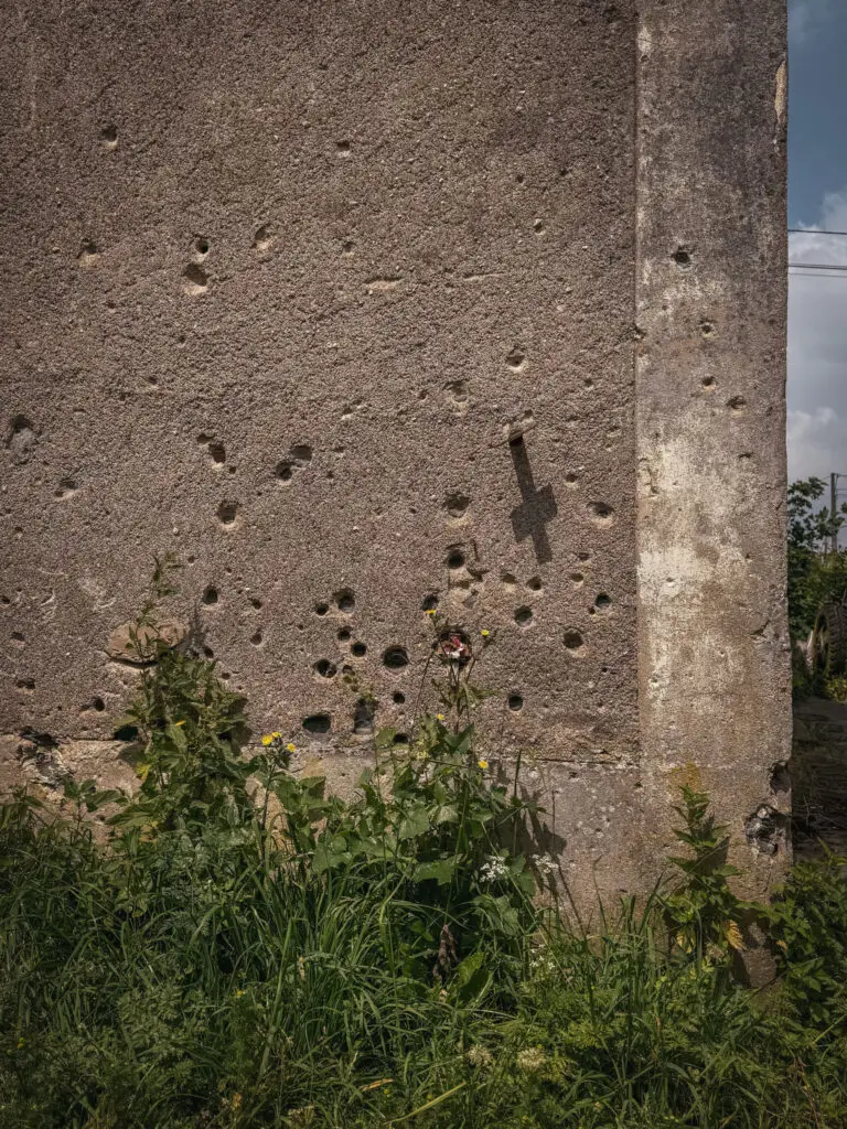
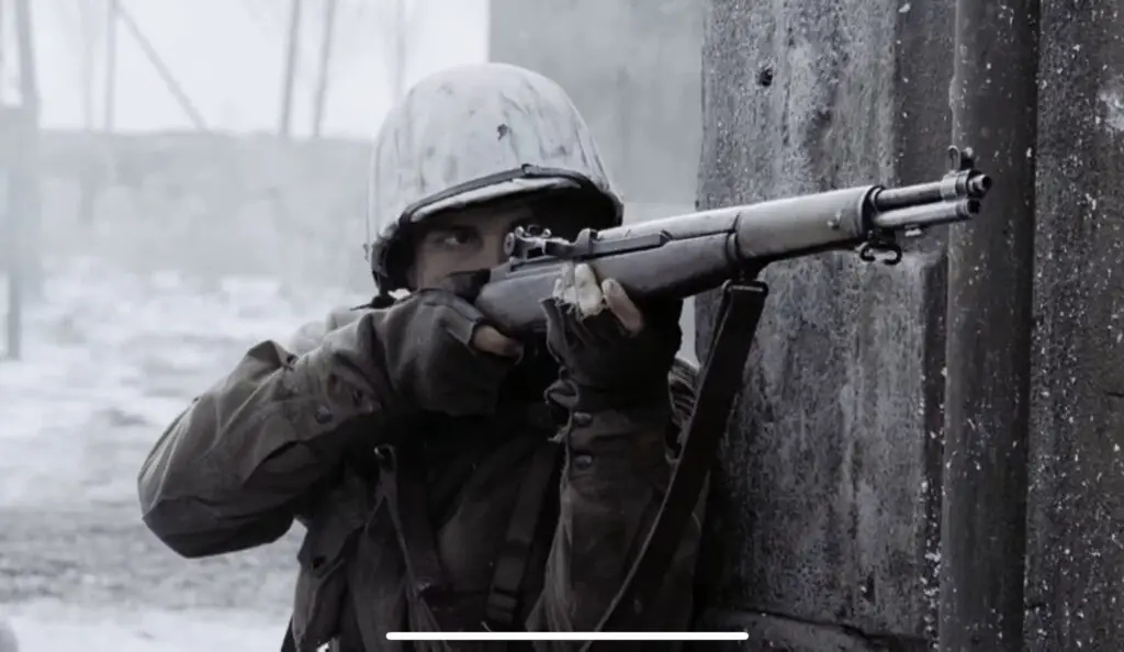
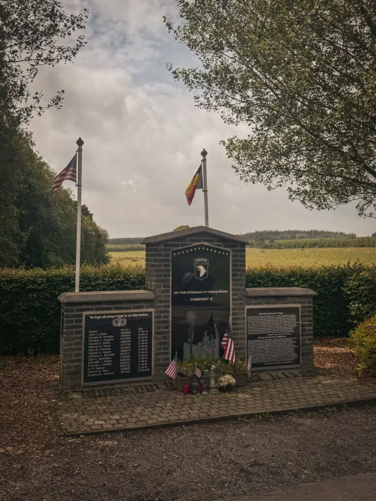
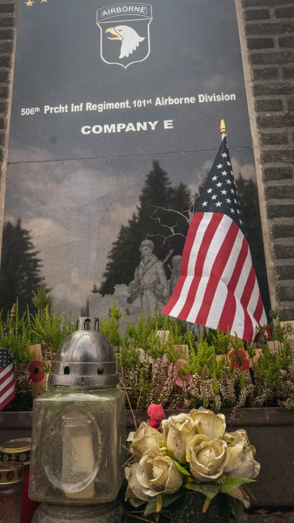
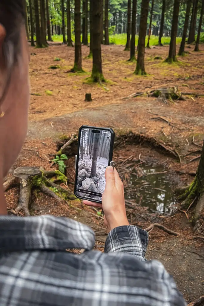
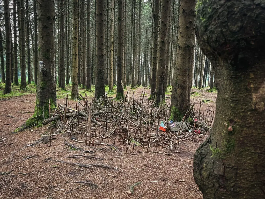
On January 13, 1945, Foy was captured by the 101st Airborne Division. Easy Company had suffered casualties from a German sniper. Sgt. D. Shifty Powers took out the sniper. This battle is also depicted in the TV series Band of Brothers.
How to get there?
- Bullet Holes in Foy on Google Maps,
Coordinates: 50°02’40.2″N 5°44’57.5″E
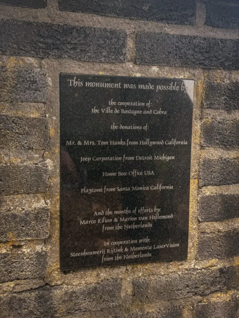
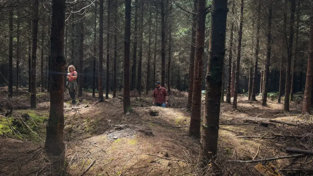
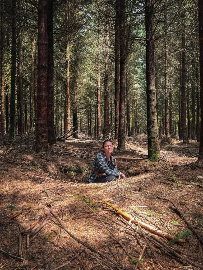
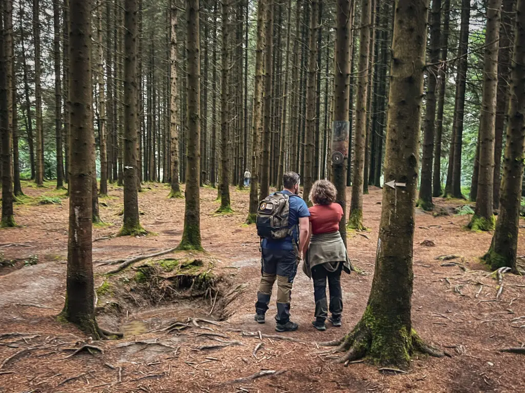
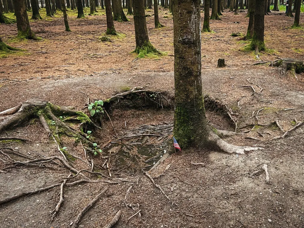
Easy Company Memorial / Boix de la Paix / Easy Company Foxholes
How to get there?
- Easy Company Memorial on Google Maps,
Coordinates: 50°01’44.8″N 5°45’23.0″E - Easy Company Foxholes on Google Maps,
Coordinates: 50°02’02.4″N 5°45’09.4″E,
Tickets available at www.bastognewarmuseum.be/ You can also purchase them online if you plan to visit the foxholes before the museum. - Boix de la Paix on Google Maps,
Coordinates: 50°01’47.3″N 5°46’06.7″E
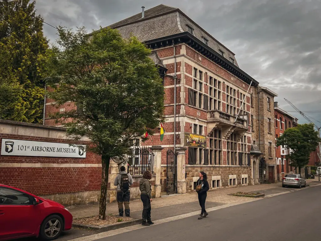
101st Airborne Museum Bastogne
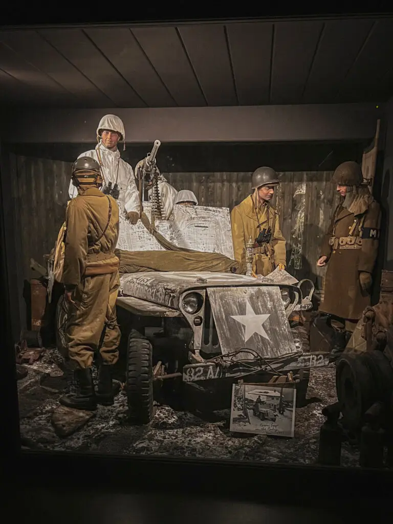
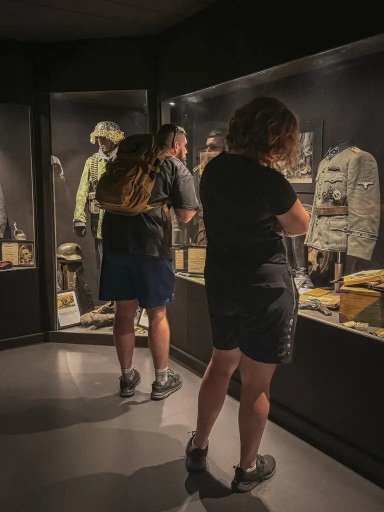
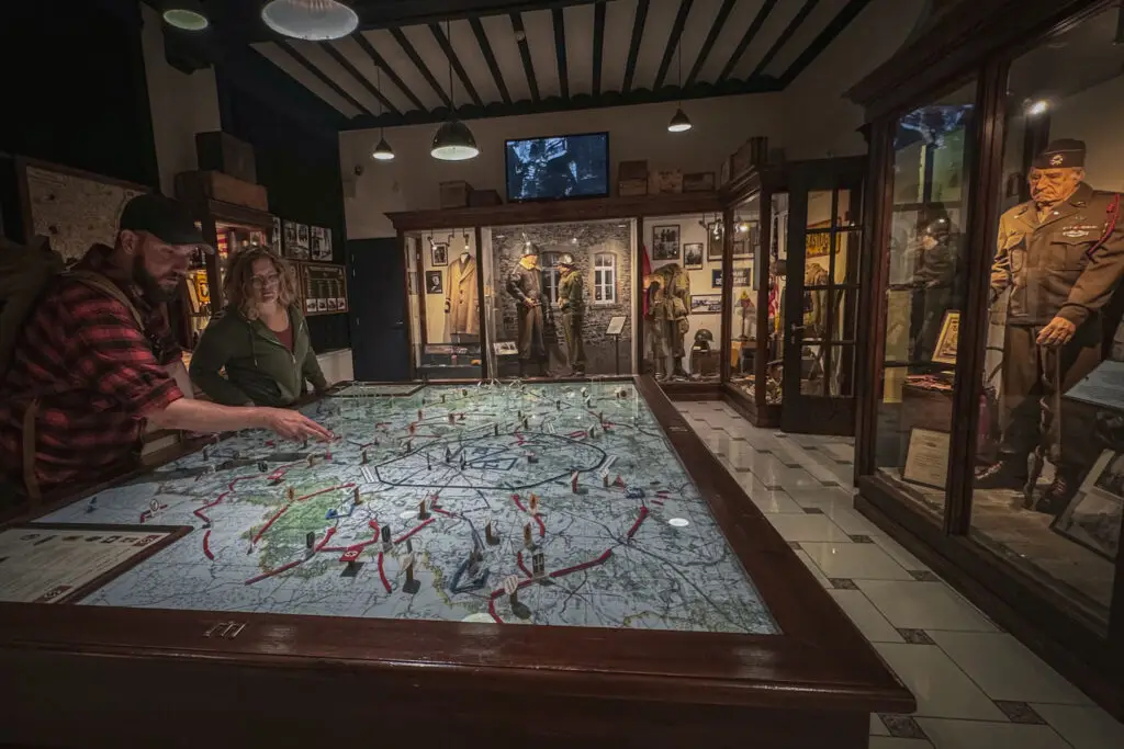
Housed in the beautifully preserved former barracks of the Chasseurs Ardennais, which served as a club for German NCOs during the occupation, this museum is dedicated to the 101st Airborne Division and other units involved in the Battle of Bastogne.
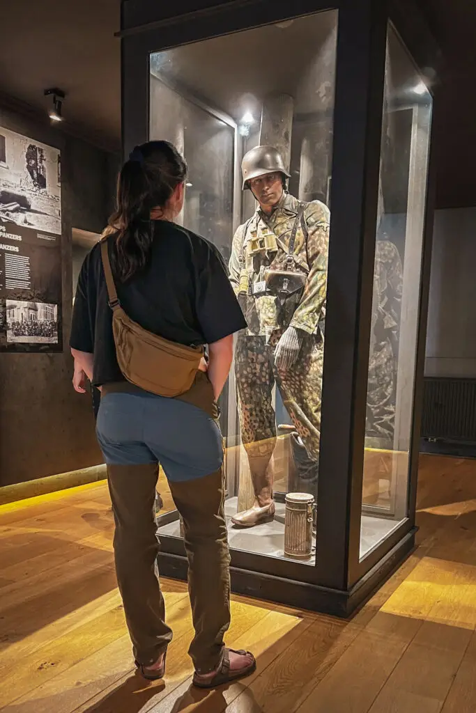
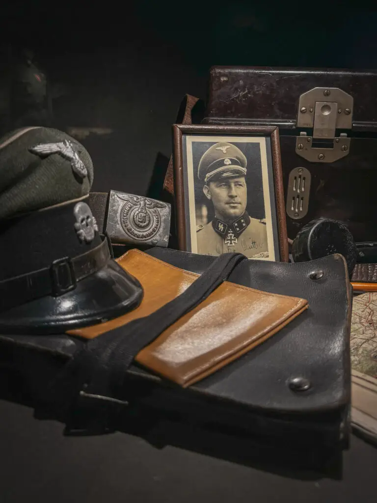
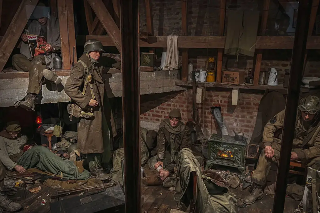
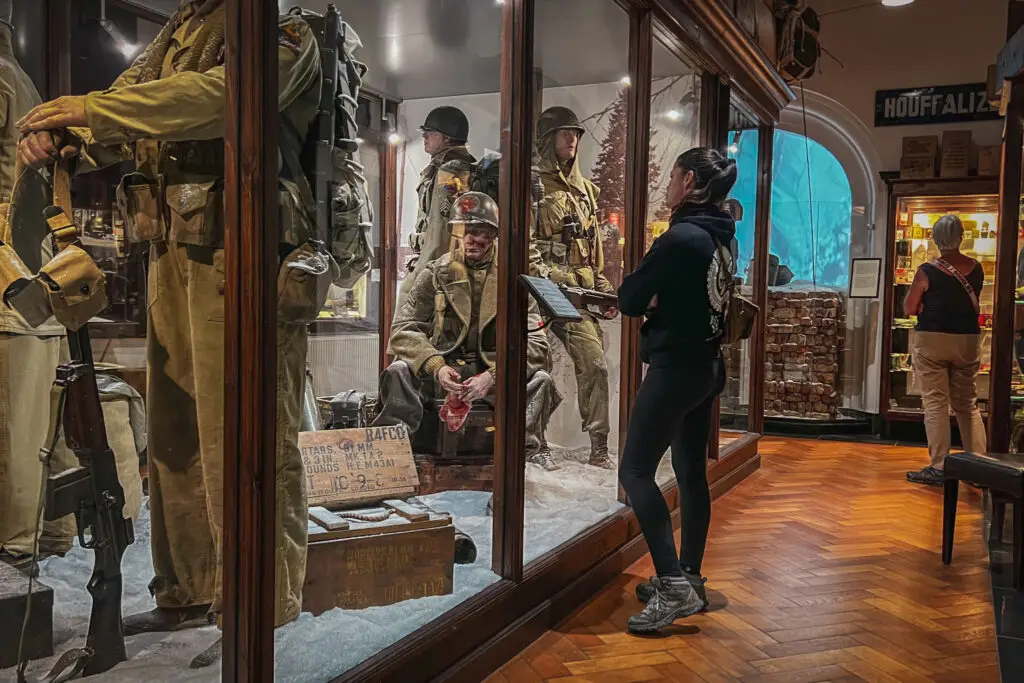
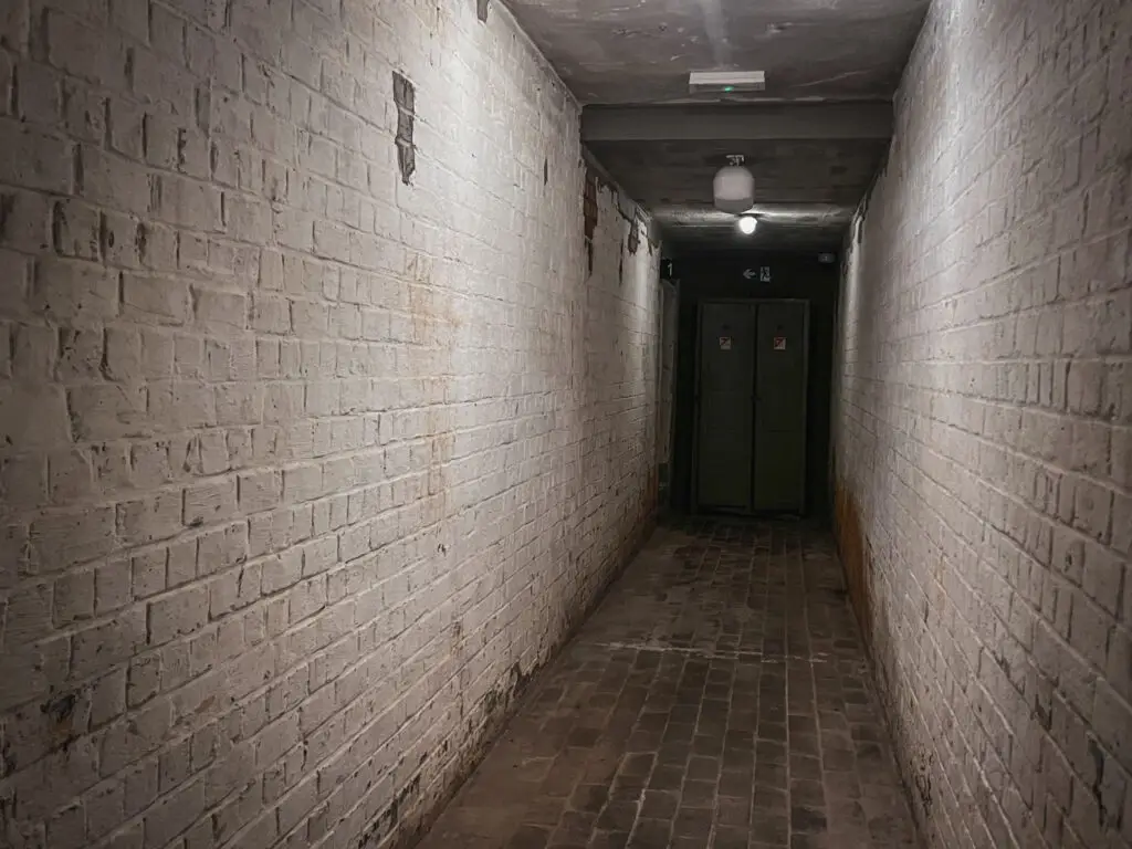
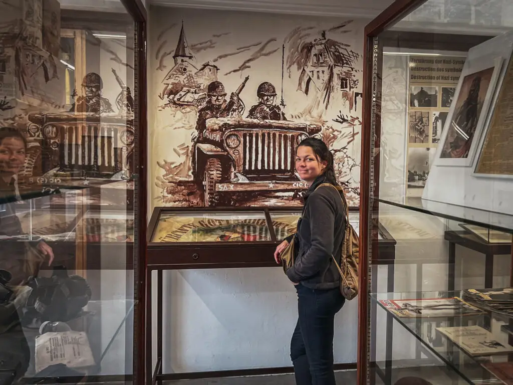
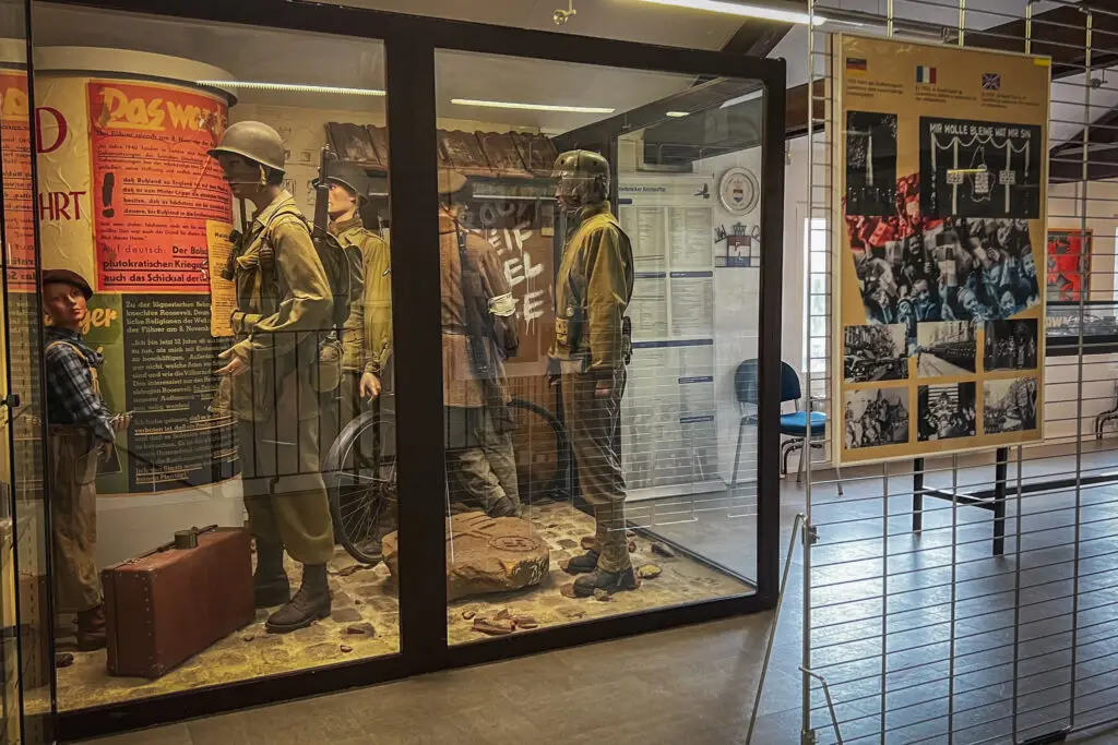
The building exudes a unique charm both inside and out. The life-sized scenes are incredibly realistic, as the mannequin faces were sculpted based on real portraits, and the exhibition tells the personal stories behind the artifacts. In the basement, visitors can experience the unsettling simulation of an air raid from the perspective of a civilian.
How to get there?
- 101st Airborne Museum Bastogne on Google Maps,
Coordinates: 49°59’57.9″N 5°42’44.0″E,
Website: www.101airbornemuseumbastogne.com
Day 3 - Bastogne
Bastogne Historical Center
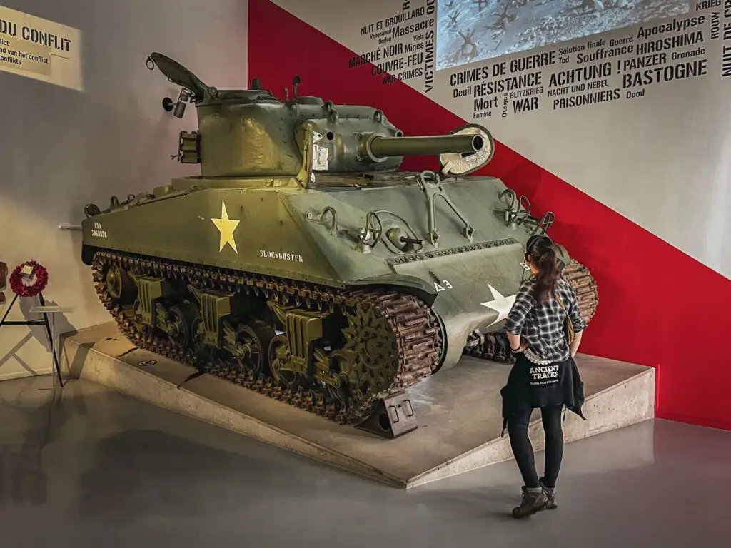
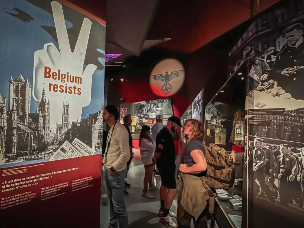
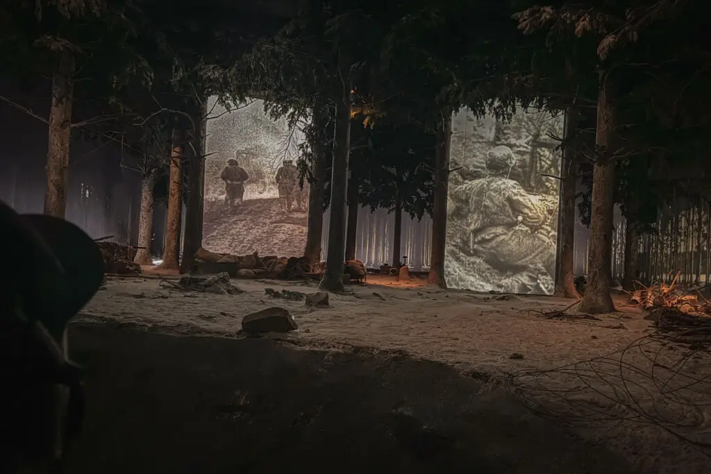
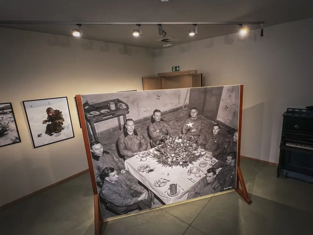
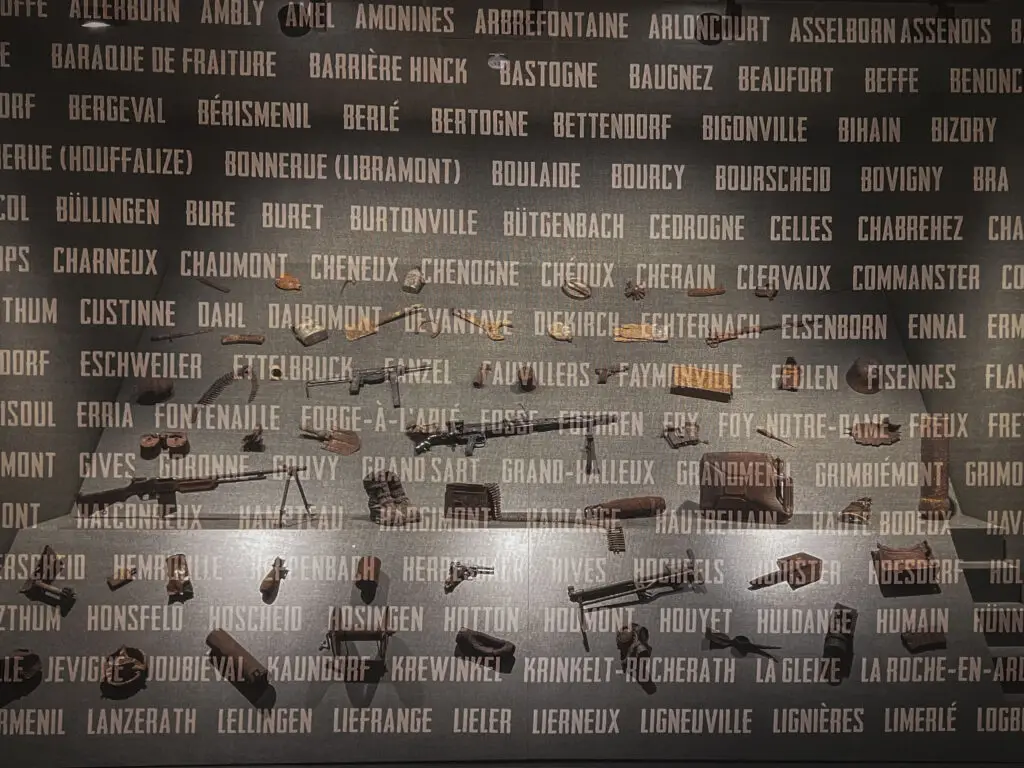
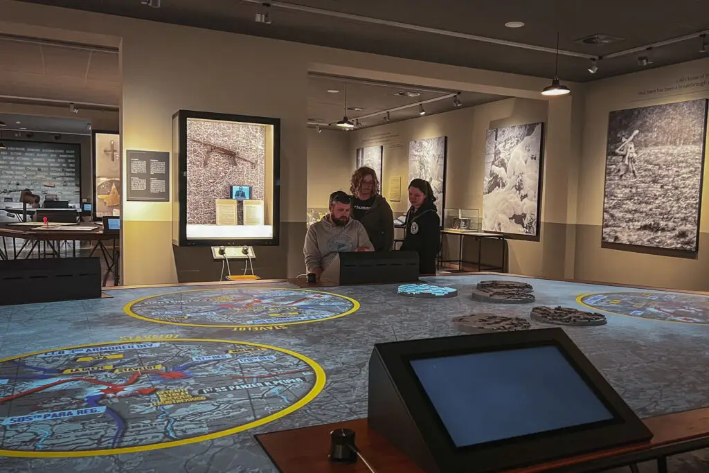
Another museum focusing on the battles around Bastogne. This museum is very modern, featuring well-crafted interactive presentations. Visitors follow the real stories of four eyewitnesses: a German soldier, an American soldier, a young student, and a teacher—who ultimately sought shelter together in the basement of an inn. The impact of the war on the entire region is also vividly illustrated here.
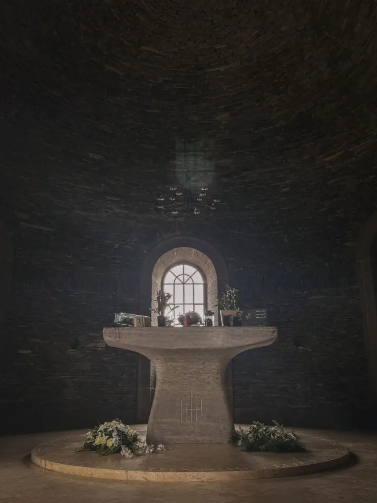
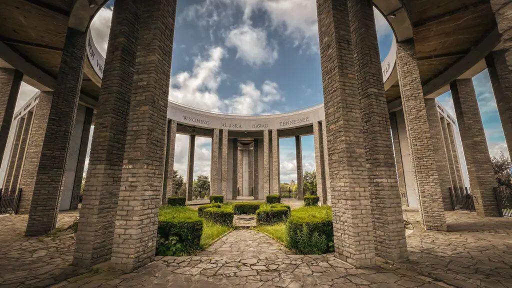
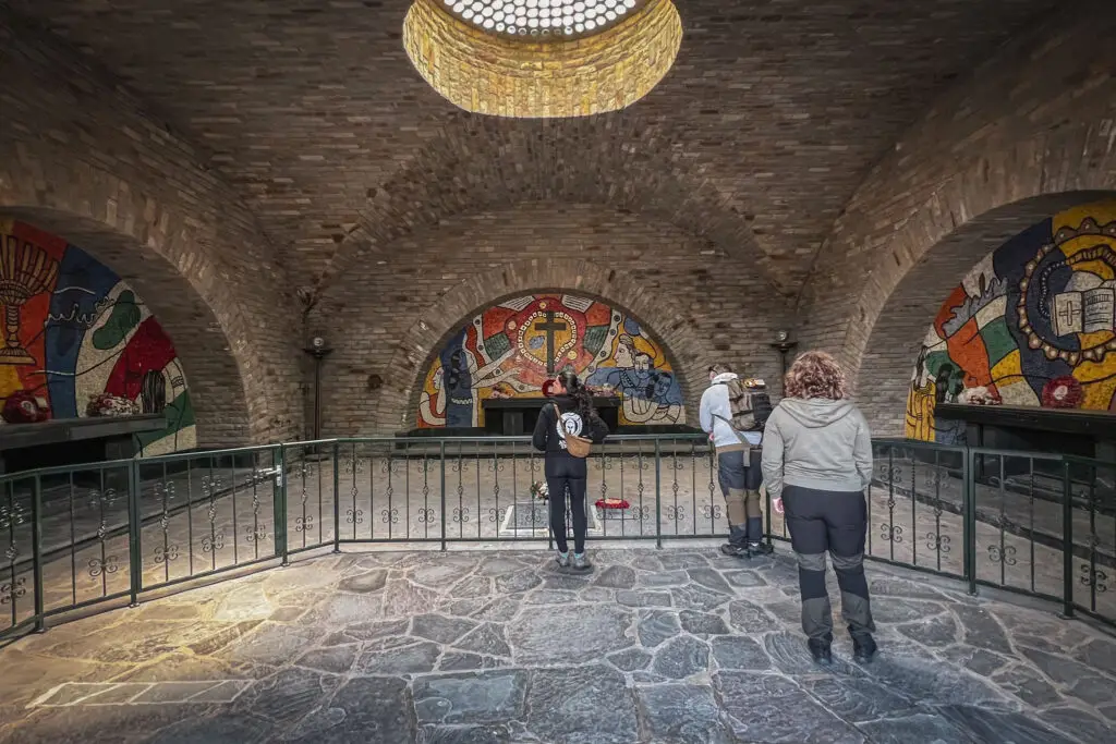
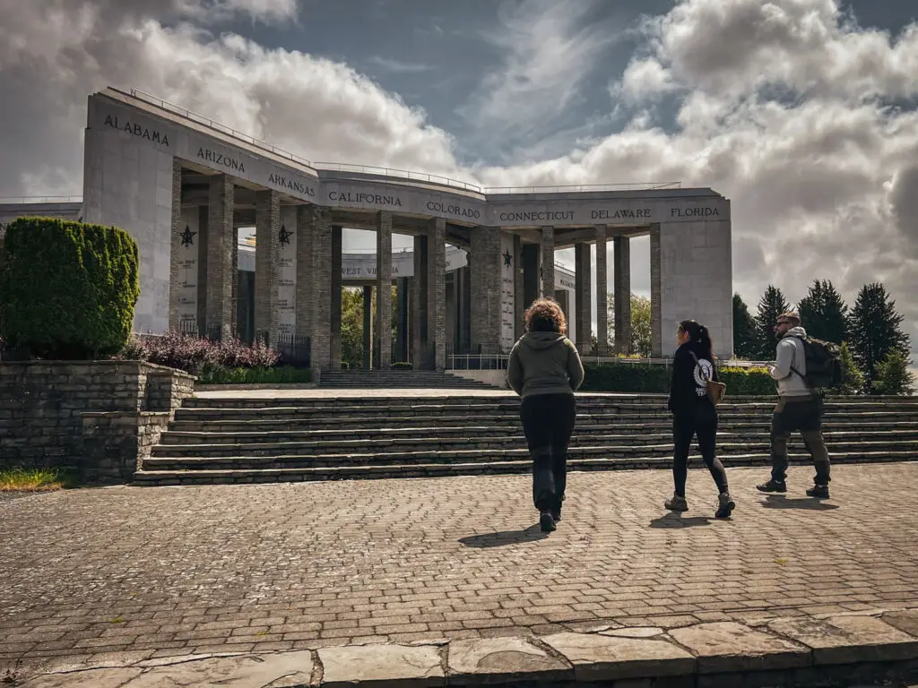
Right next to the museum stands the Mardasson Memorial with its crypt. Built in 1950, it commemorates the 76,890 American soldiers who were killed, wounded, or went missing in action.
How to get there?
- Bastogne Historical Center on Google Maps,
Coordinates: 50°00’44.1″N 5°44’17.6″E,
Website: www.bastognewarmuseum.be,
Combination ticket available for War Rooms & 101st Airborne Foxholes.
Bastogne War Rooms
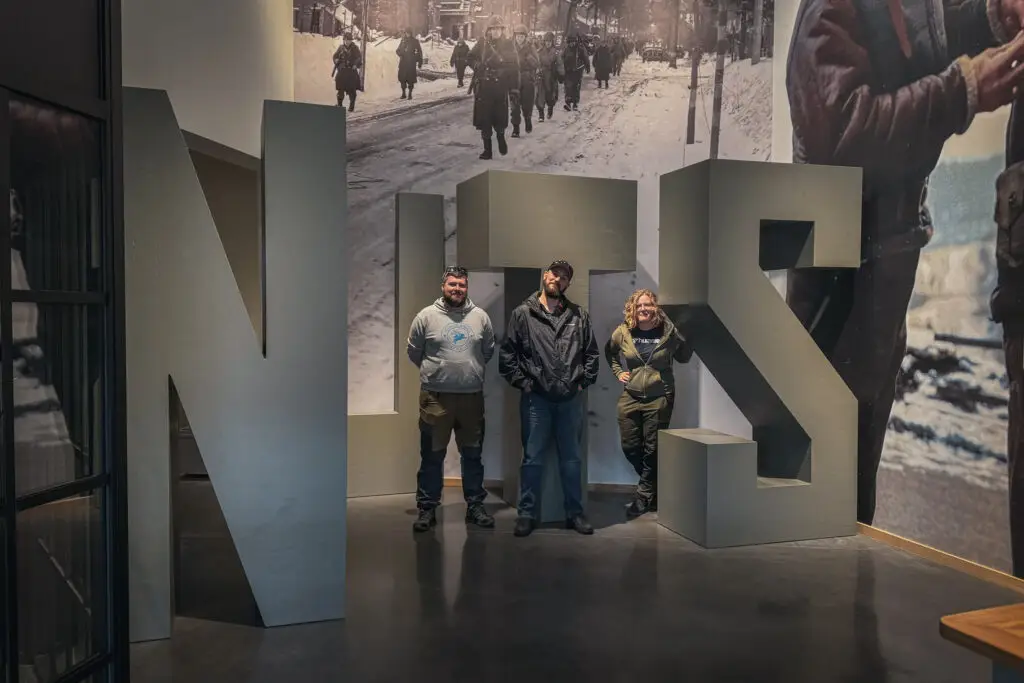
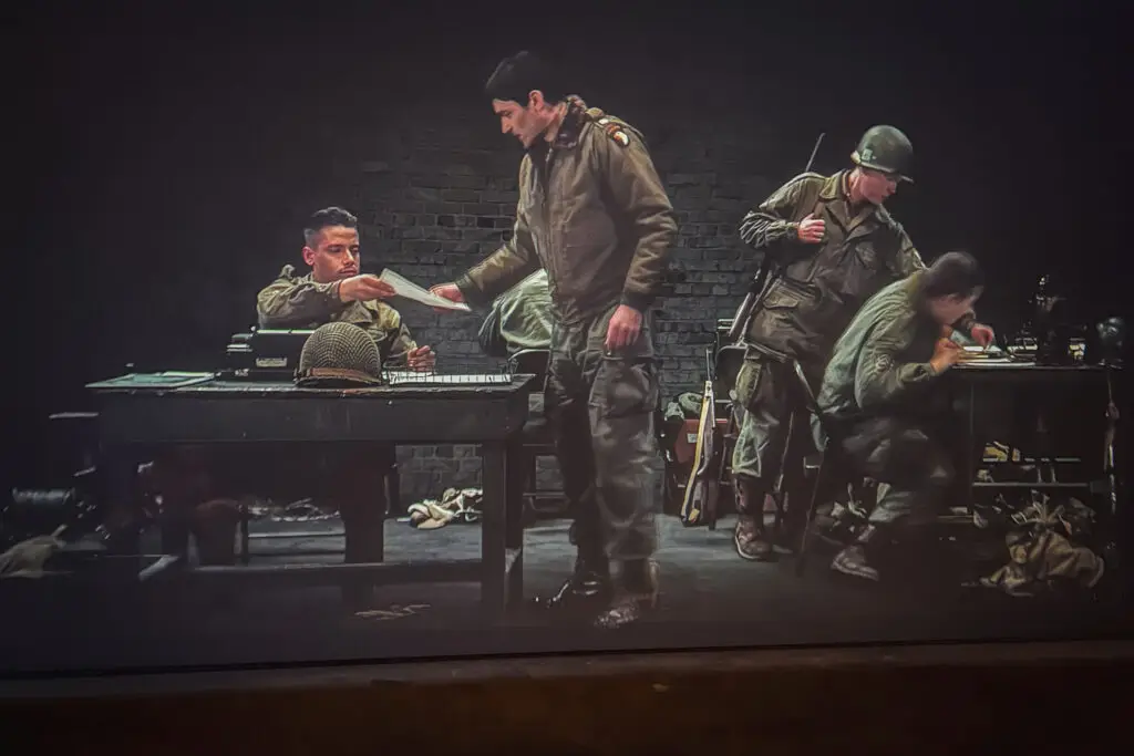
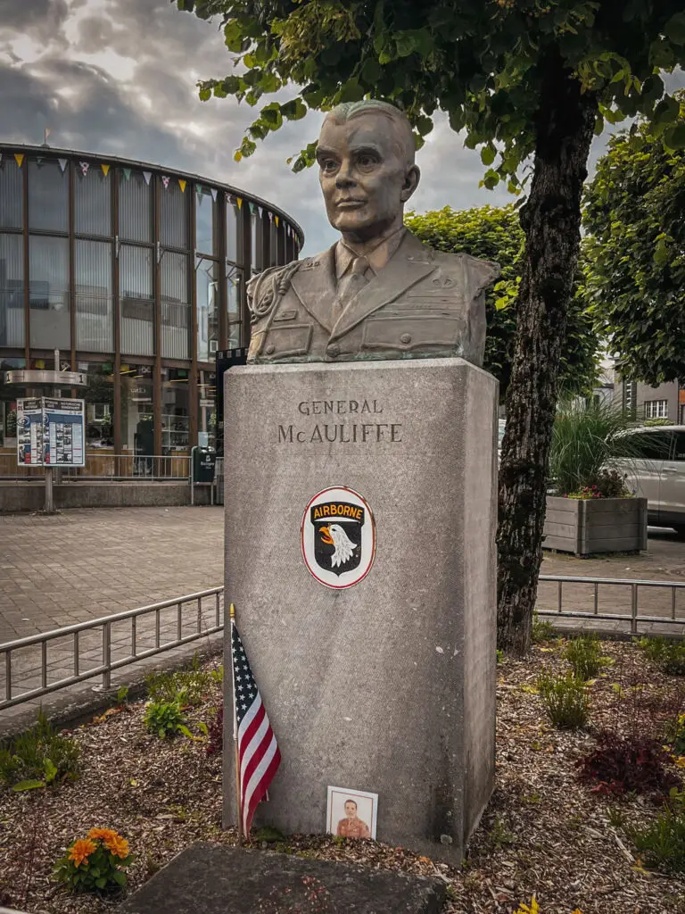
The former headquarters of Brigadier General McAuliffe was located in the Heintz Barracks, where, on December 22, 1944, he famously responded to the German surrender demand with 'Nuts!' (roughly translating to 'nonsense' in German). Some of the rooms have been partially reconstructed and brought to life through projections. The compact and to-the-point exhibition serves as a perfect complement to the extensive Historical Center.
How to get there?
- Bastogne War Rooms on Google Maps,
Coordinates: 50°00’30.4″N 5°43’11.5″E,
Website: www.bastognewarmuseum.be,
Combination ticket available for the Historical Center & 101st Airborne Foxholes.
Chateau de la Isle la Hesse
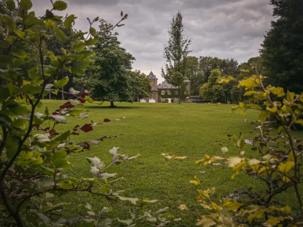
Château de Isle La Hesse: Shortly afterward, the headquarters was relocated from the Heintz Barracks to this château.
How to get there?
- Chateau de la Isla de la Hesse on Google Maps,
Coordinates: 50°00’14.6″N 5°40’35.4″E,
Now privately owned. - Firefly turret on Google Maps,
Coordinates: 50°00’11.1″N 5°40’42.2″E
Tank Wrecks: Sherman in Bastogne
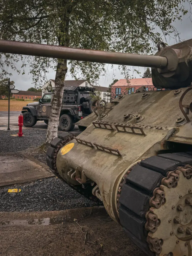
This Sherman came under fire from German forces near the village of Renuamont after becoming separated from its company due to a wrong turn. While attempting to escape, it got stuck in a snow-covered pond and was taken out by enemy tanks.
How to get there?
- M4 Sherman in Bastogne on Google Maps,
Coordinates: 50°00’03.3″N 5°42’55.1″E
Day 4 – Bastogne Barracks and Schumannseck
Bastogne Barracks
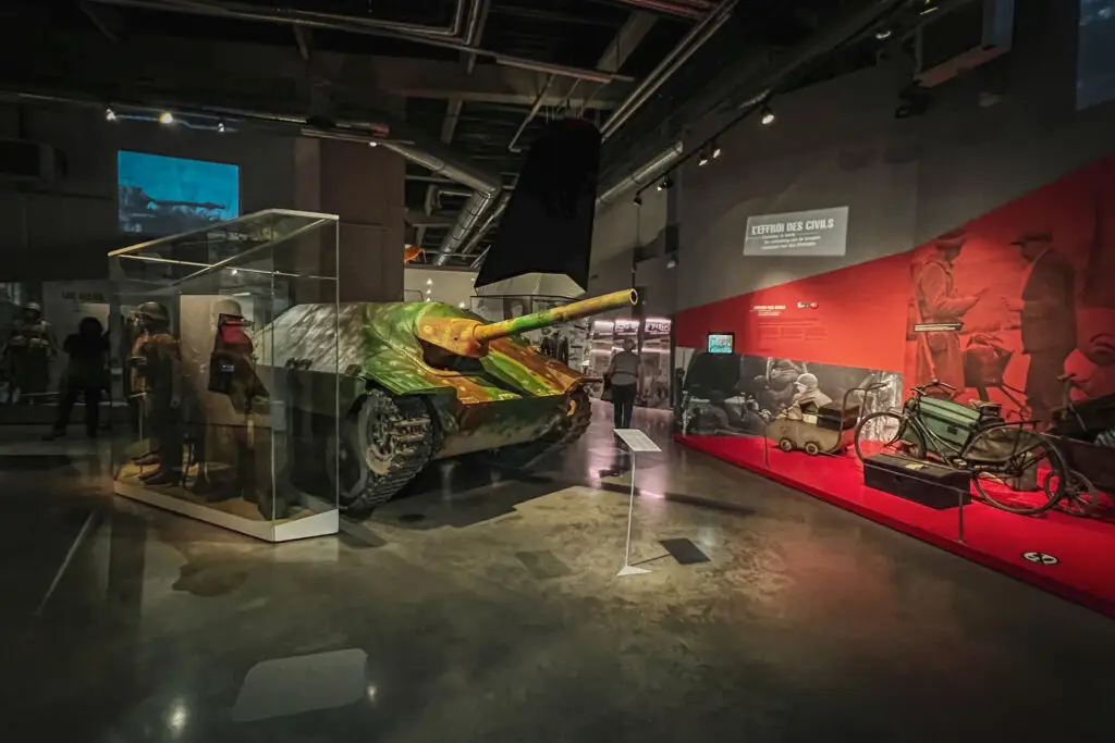
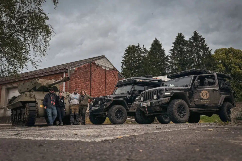
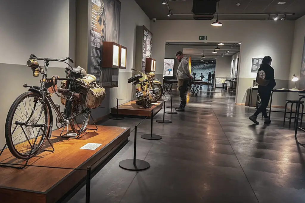
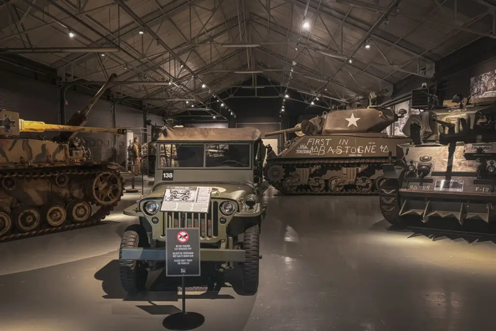
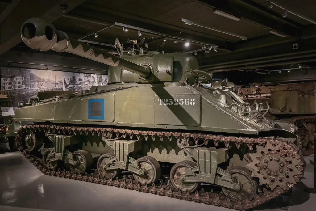
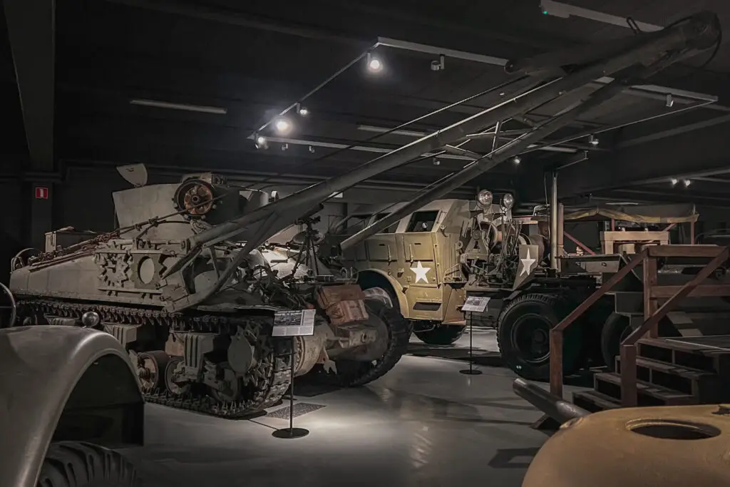
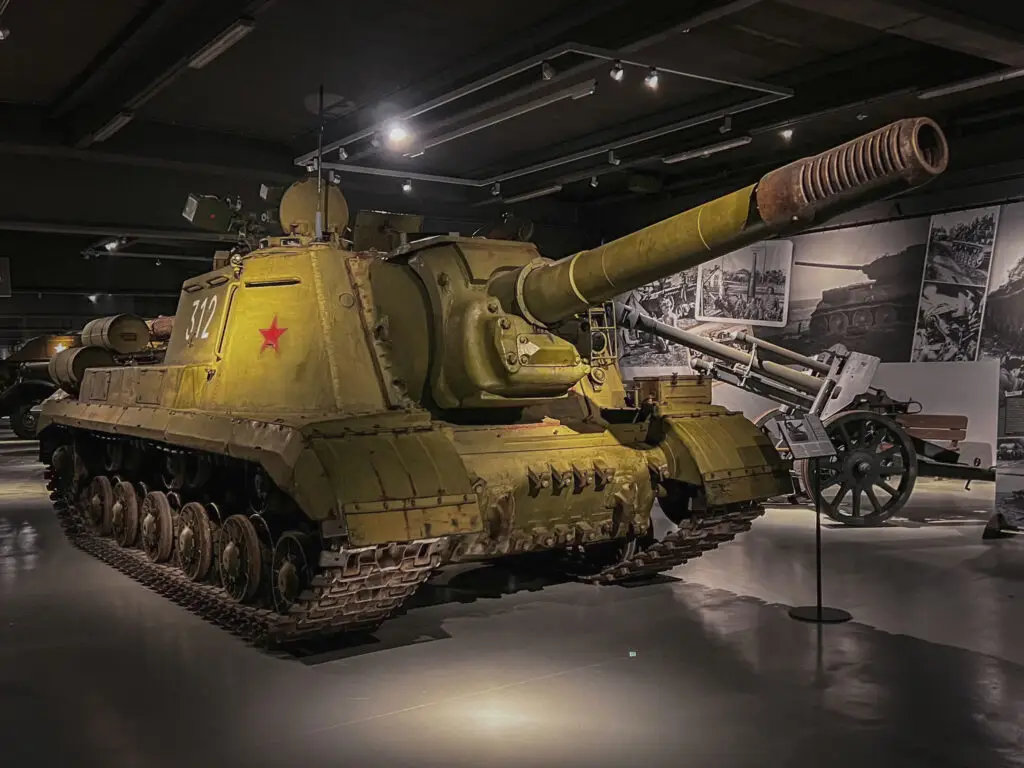
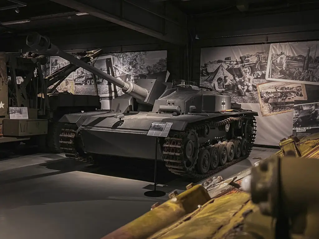
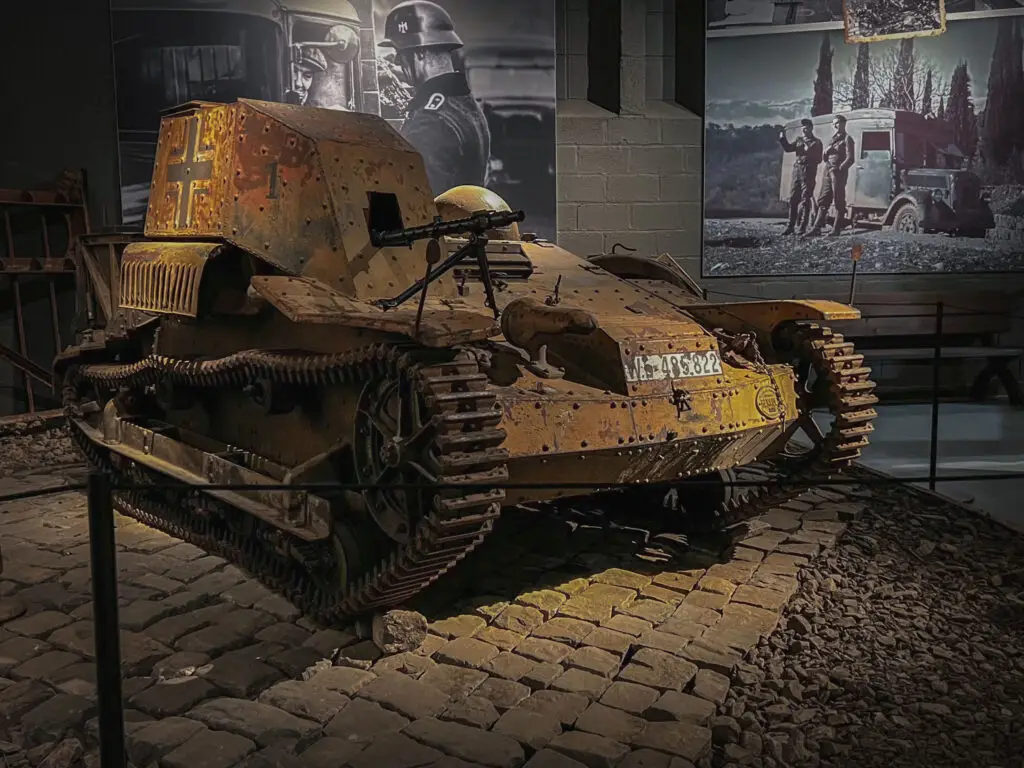
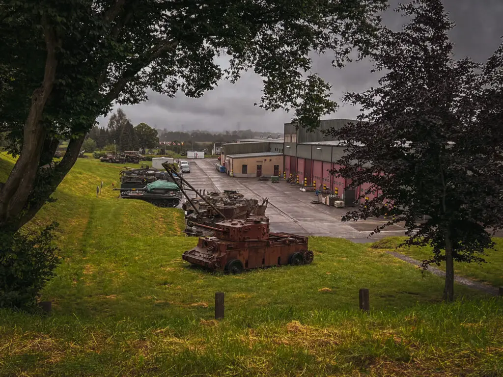
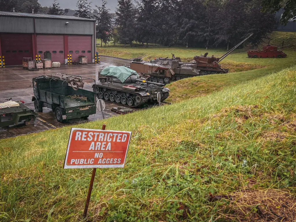
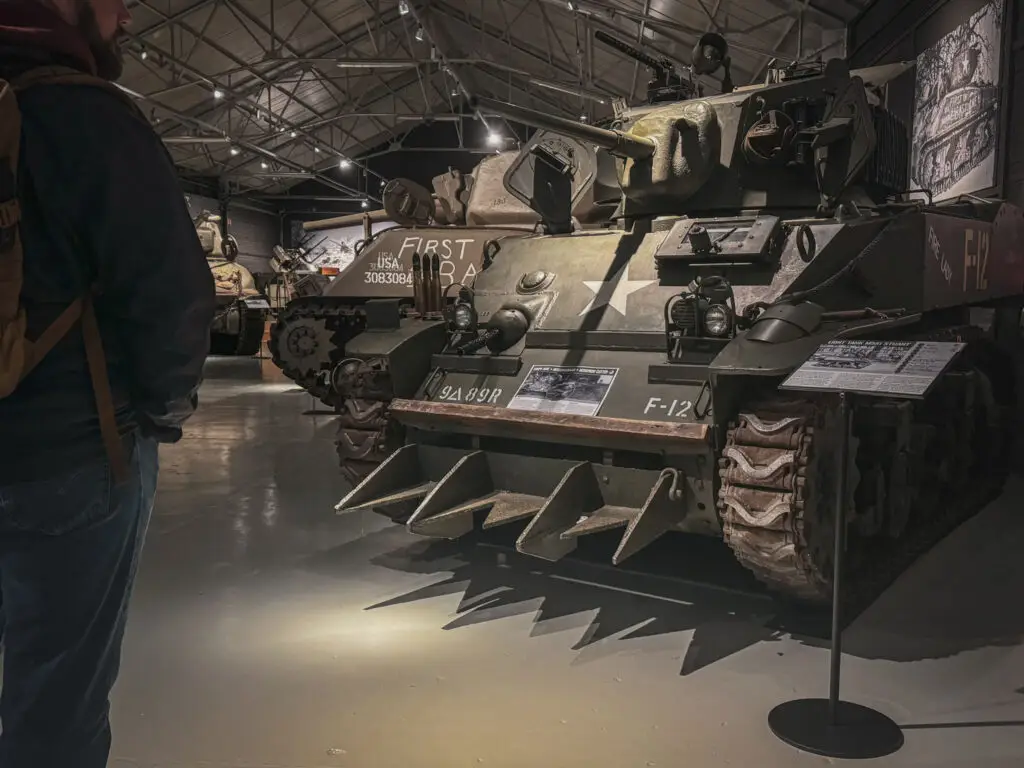
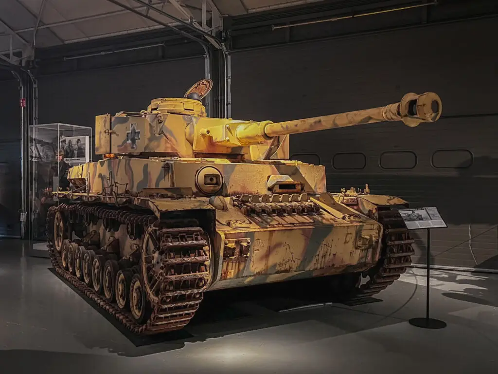
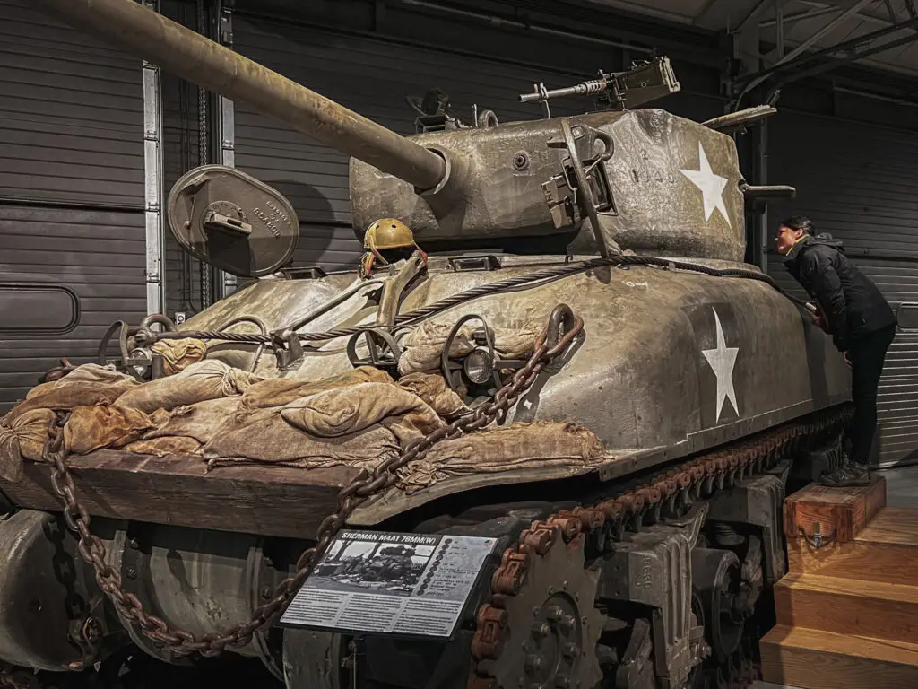
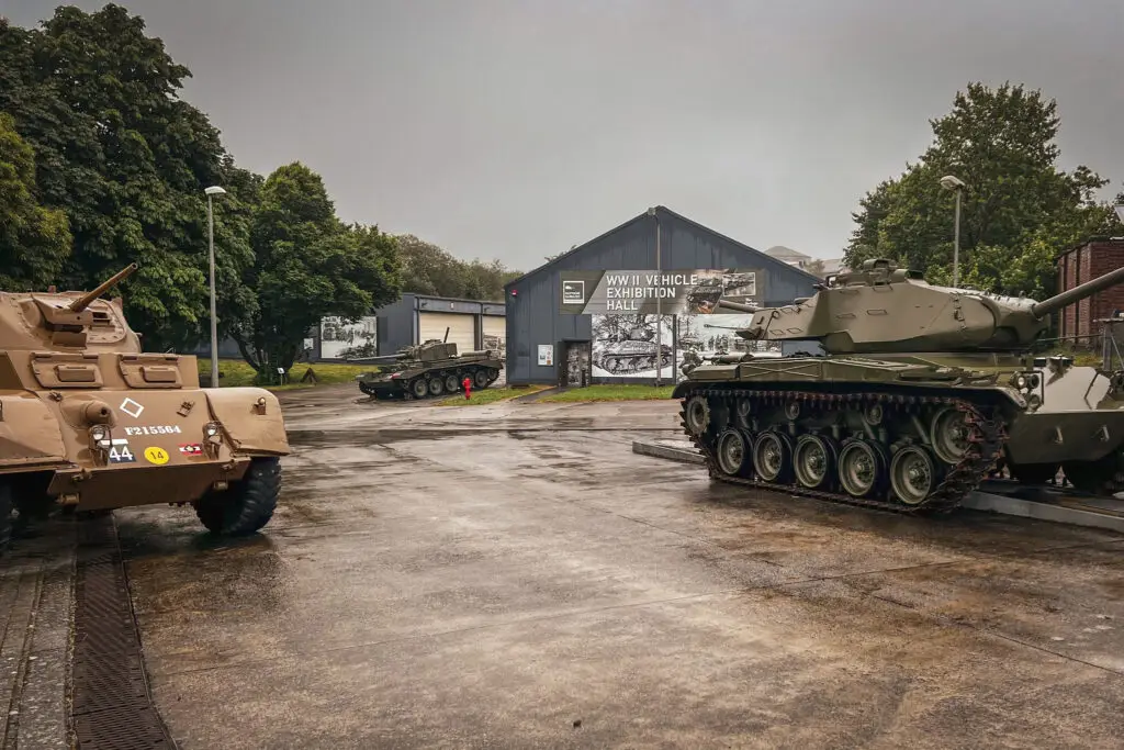
Also located in the Heintz Barracks is the 'Bastogne Barracks' museum, which features a restoration workshop and several exhibition halls. The halls house an extensive collection of World War II vehicles, many of which are in excellent condition and some even operational.
How to get there?
- Bastogne Barracks on Google Maps,
Coordinates: 50°00’30.5″N 5°43’06.4″E,
Website: www.bastognebarracks.be,
Parking at the War Rooms
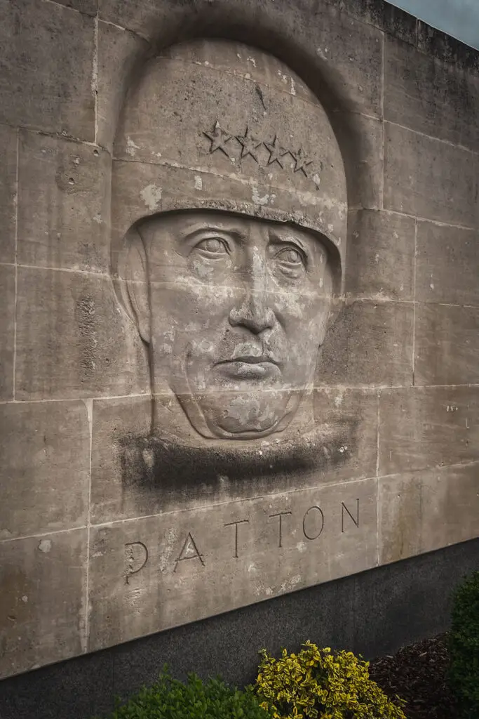
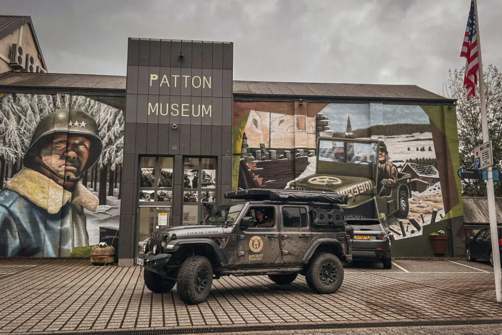
Patton Monument Bastogne
How to get there?
- Patton Monument in Bastogne on Google Maps,
Coordinates: 49°59’53.7″N 5°42’55.7″E
Schumannseck, Luxemburg
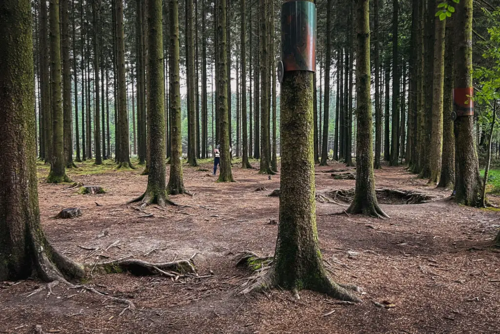
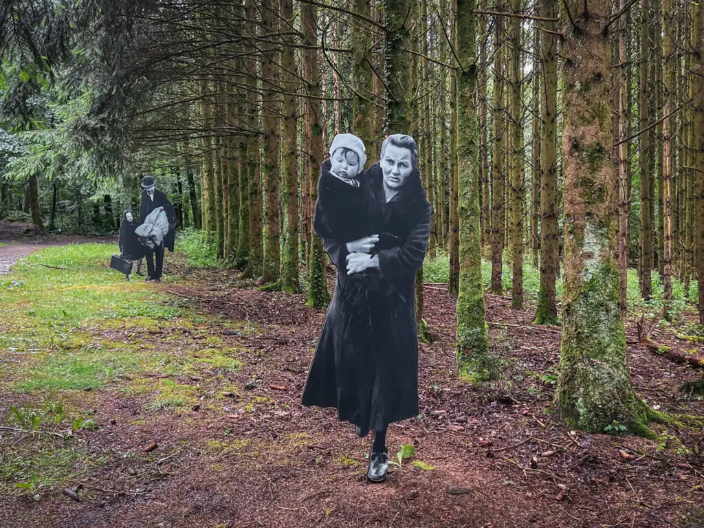
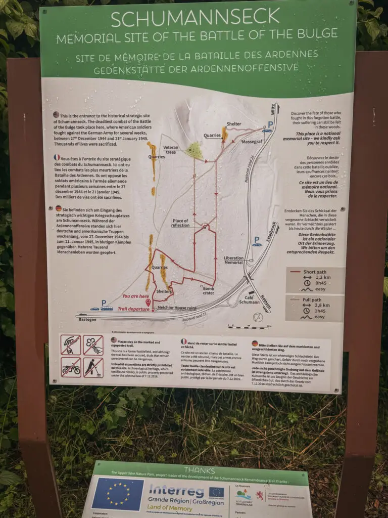
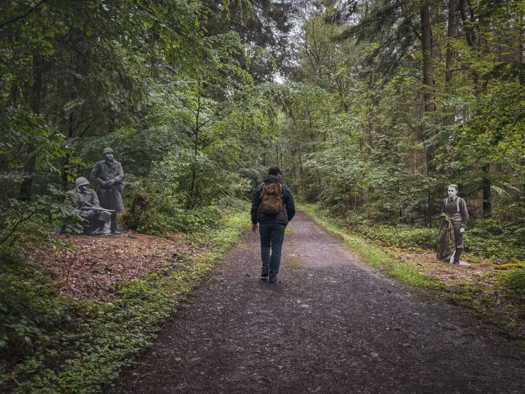
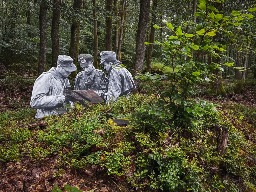
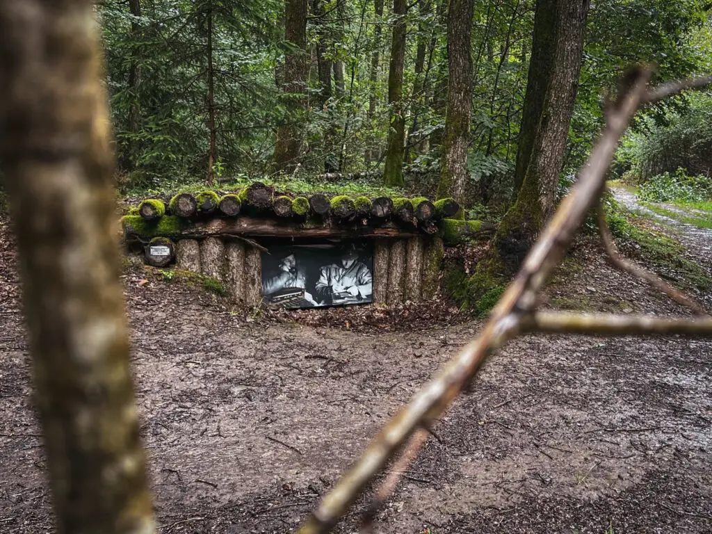
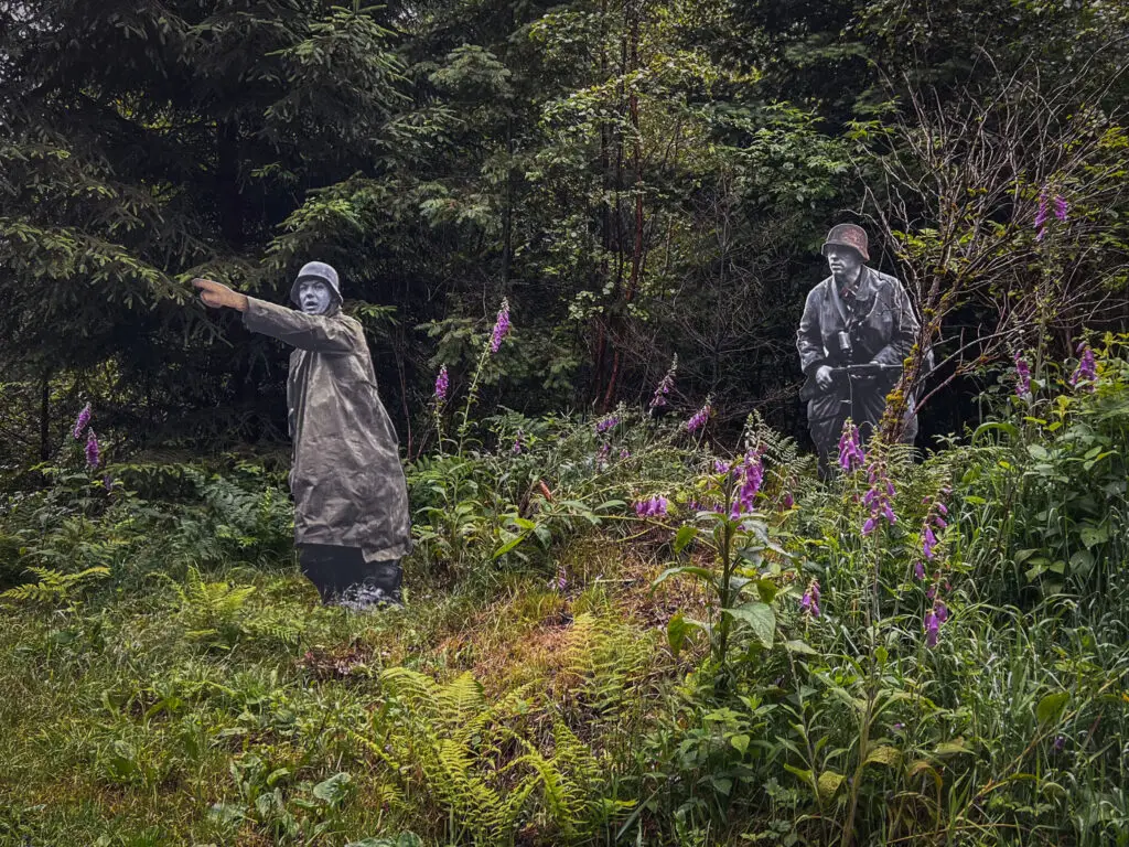
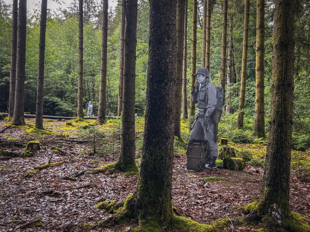
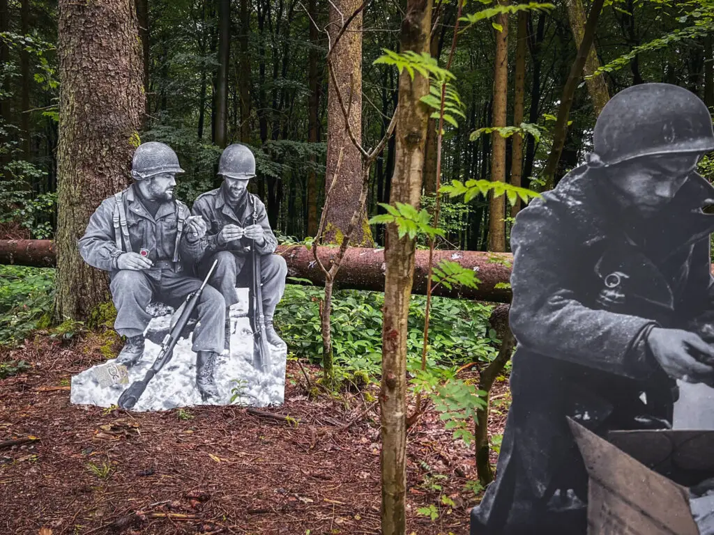
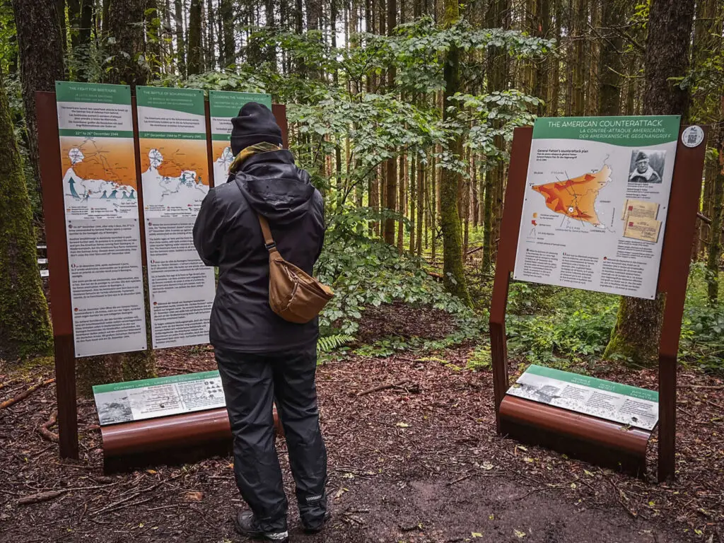
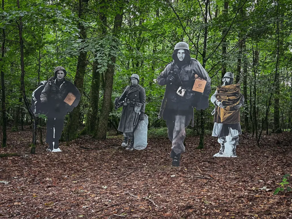
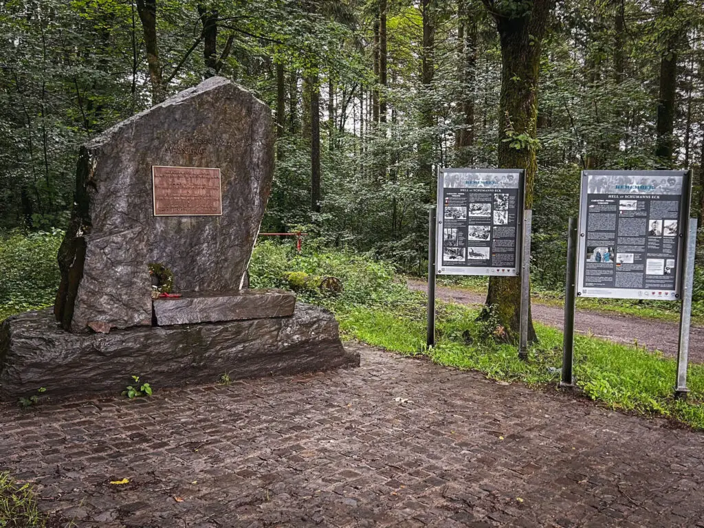
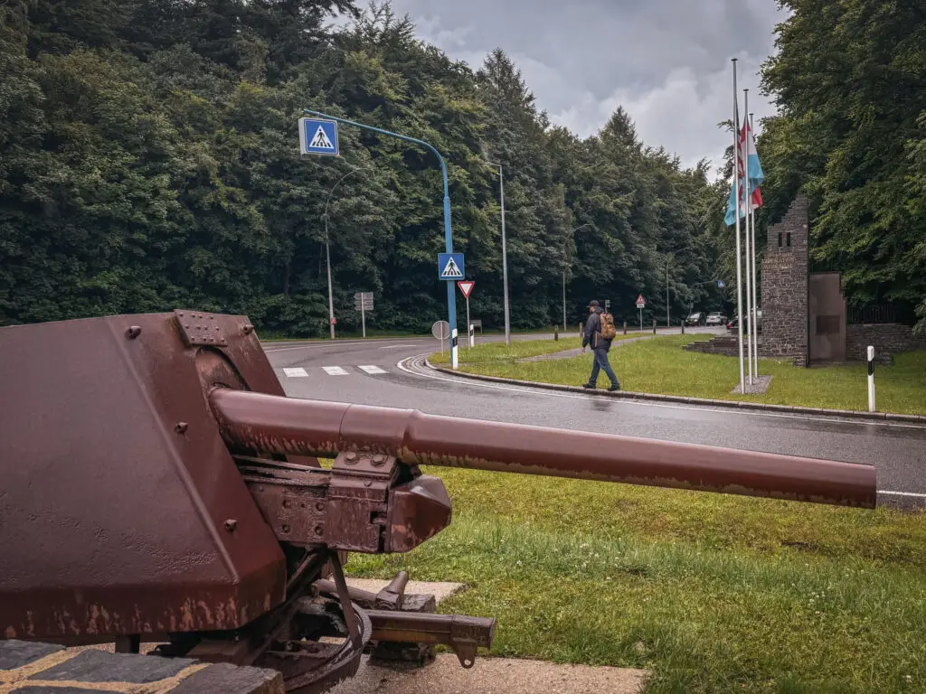
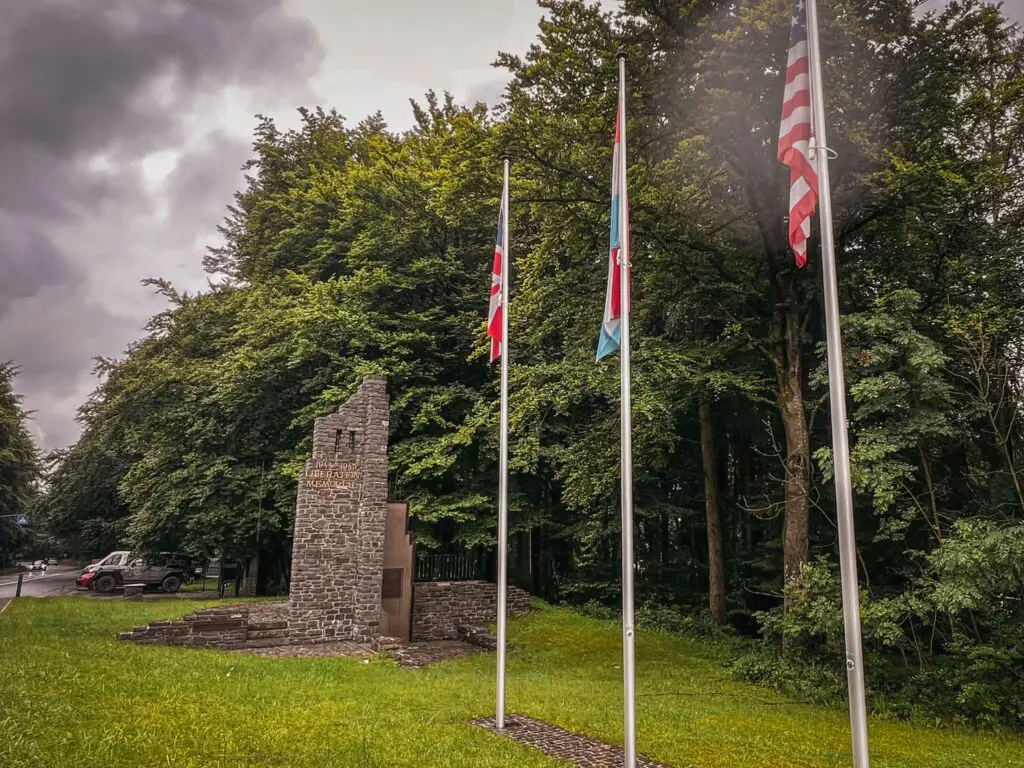
Patton chose the route through Luxembourg's Schumannseck to establish a bridgehead to the encircled Bastogne. Fierce fighting took place as the Germans had excellent knowledge of the terrain and had already entrenched themselves in the quarries. The front remained stagnant here for two weeks. Today, visitors can explore the area on the Path of Remembrance and walk along the former front line. Numerous life-sized figures have been placed throughout the site.
How to get there?
- Schumannseck Trail Start on Google Maps,
Coordinates: 49°56’56.3″N 5°52’30.8″E - National Liberation Memorial on Google Maps,
Coordinates: 49°56’48.8″N 5°52’52.8″E
Tank Wrecks: Sherman in Wiltz
This Sherman took part in the battles of Wiltz. However, it was spared from destruction as it accidentally ended up in a manure pit due to a driving error during the fighting.
How to get there?
- M4 Sherman in Bastogne on Google Maps,
Coordinates: 50°00’03.3″N 5°42’55.1″E
Day 5 – Patton in Ettelbruck
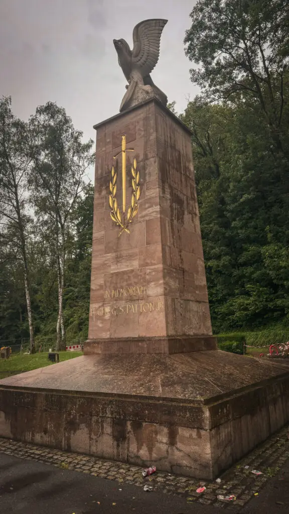
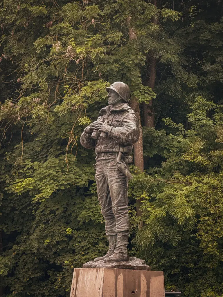
Patton Memorial
How to get there?
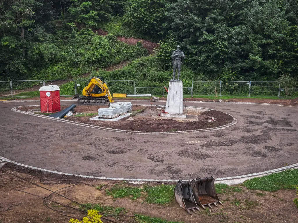
- Patton Monument in Ettelbruck on Google Maps,
Coordinates: 49°51’05.6″N 6°06’37.4″E,
At the beginning of July 2024, there was a construction site there, but it is expected to be completed in time for the 80th anniversary celebrations in September.
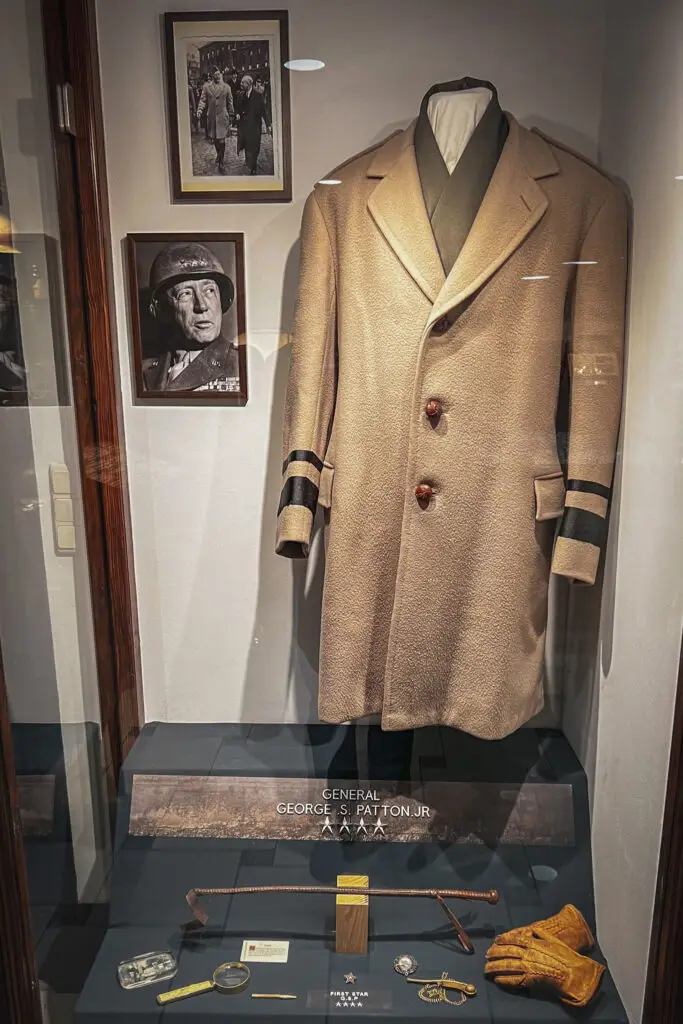
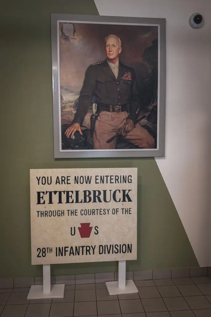
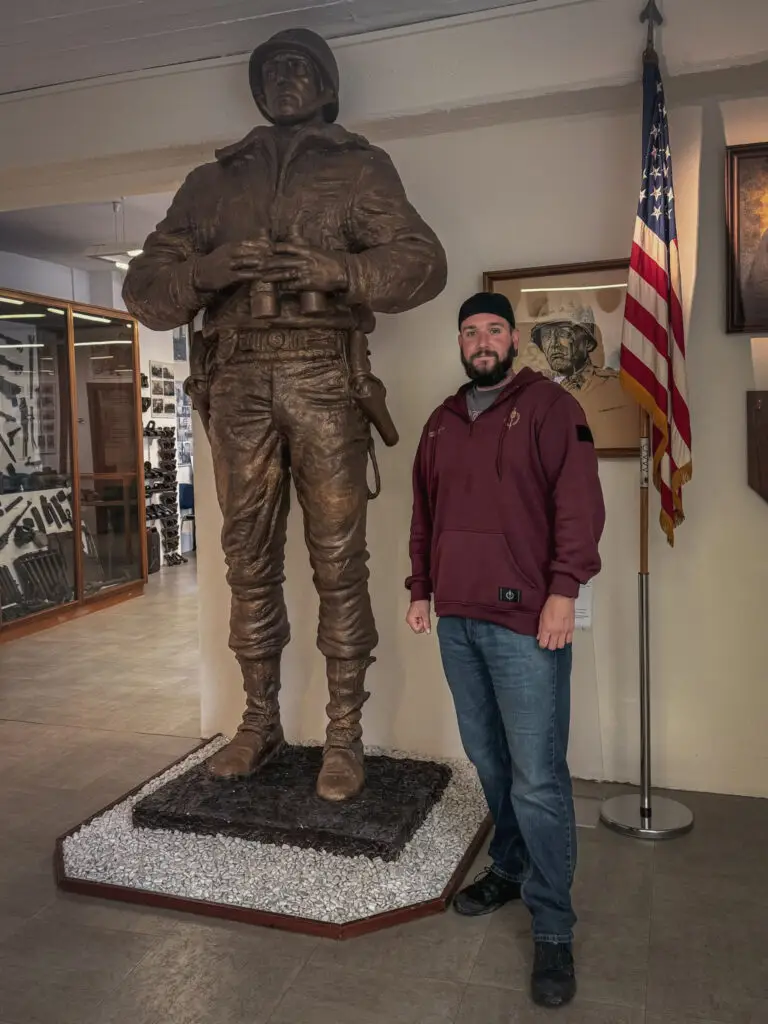
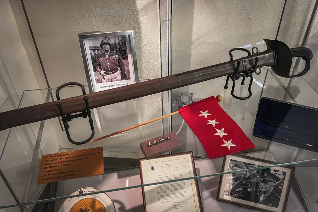
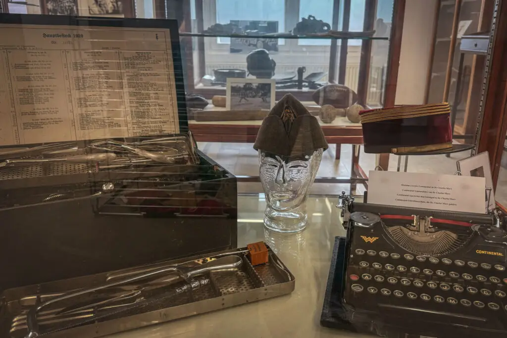
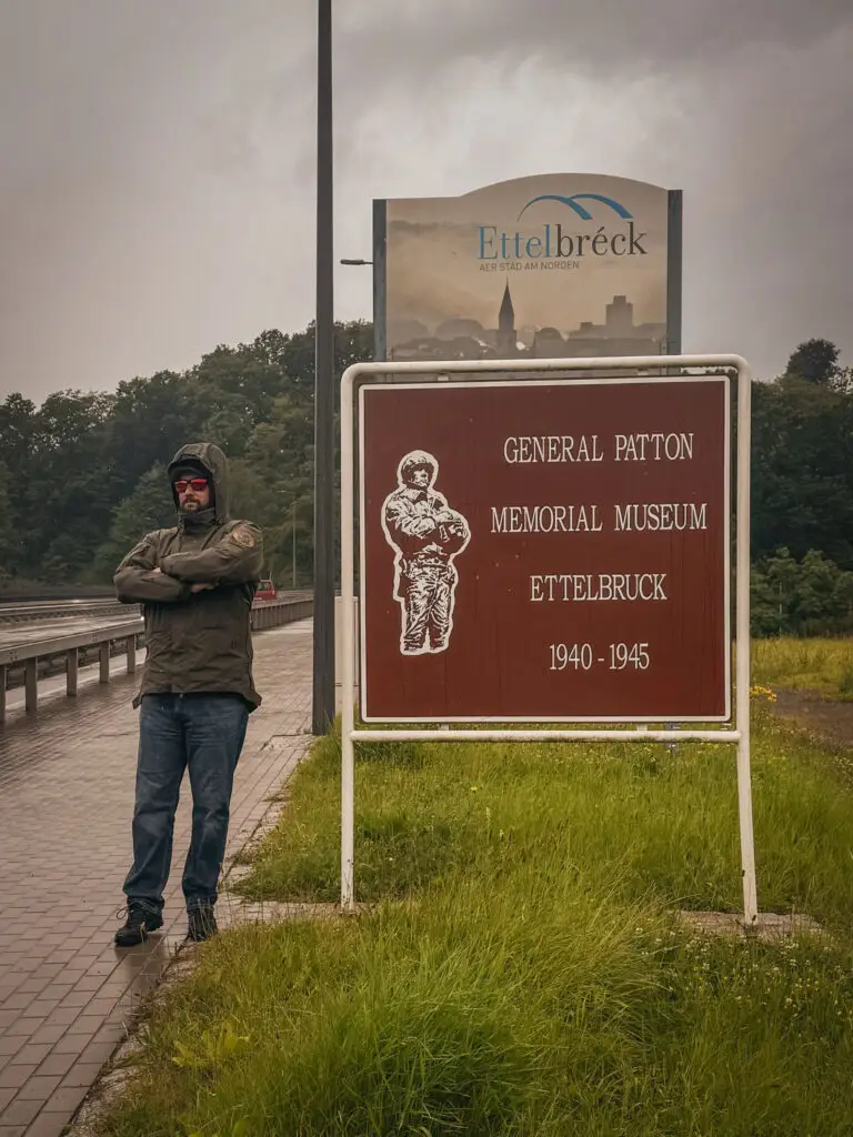
General Patton Memorial Museum
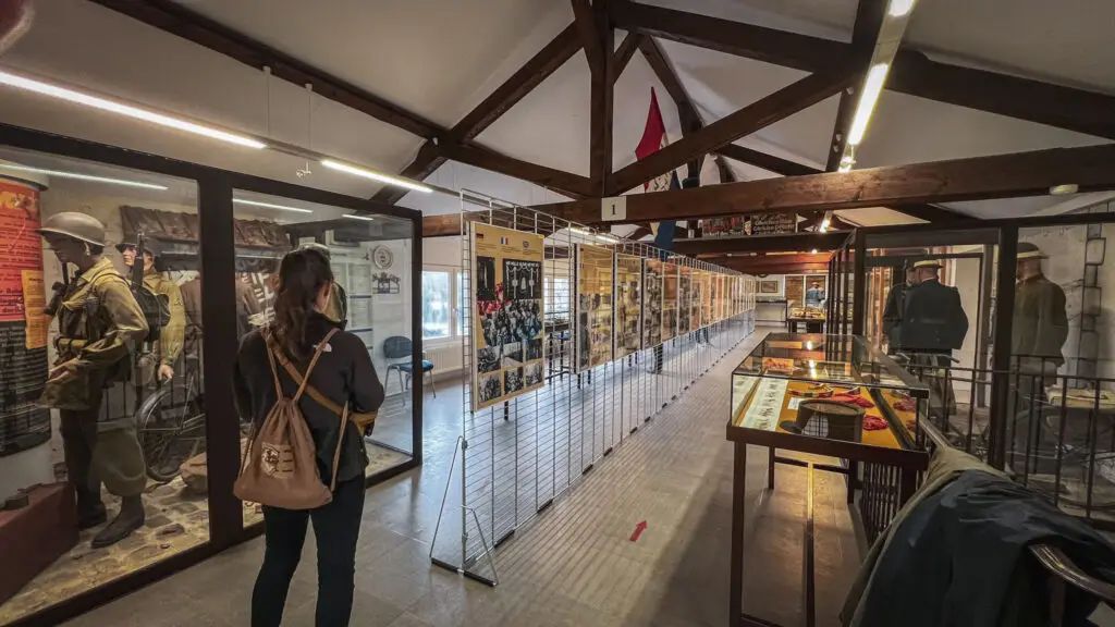
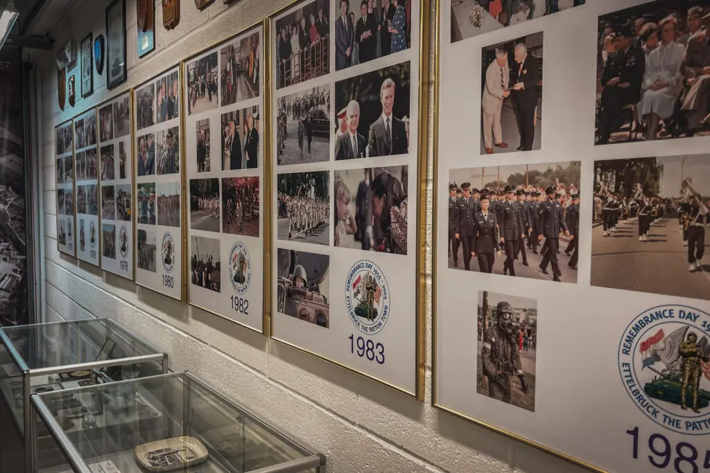
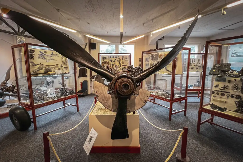
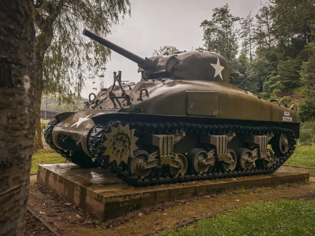
The museum in Ettelbruck is dedicated to Patton and his 3rd U.S. Army, which liberated the city on December 25, 1944. Additionally, the museum covers the occupation of Luxembourg and the air war in the region.
How to get there?
- General Patton Remembrance Museum in Ettelbruck on Google Maps,
Coordinates: 49°50’55.7″N 6°06’14.9″E,
Website: www.patton.lu
Burg Beaufort
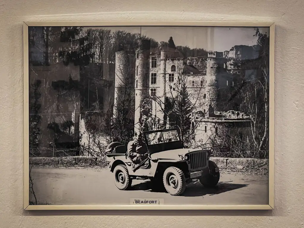
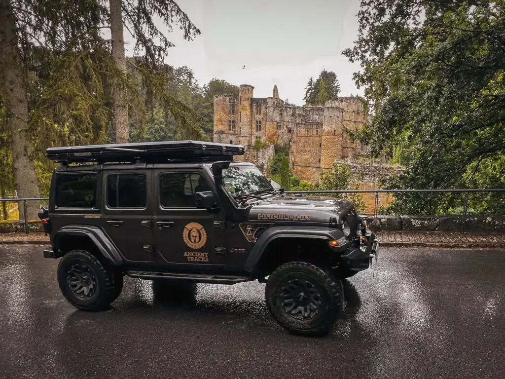
We discovered this photo at the Patton Museum in Ettelbruck, and since Beaufort Castle was on our route, we decided to recreate it with Hamilkar.
How to get there?
- Burg Beaufort on Google Maps,
Coordinates: 49°50’01.7″N 6°17’13.3″E
Information Sources & Literature Used for Planning:
In addition to Google Maps, Wikipedia & Co., specifically:
- Allradstreifzüge Blog: Overland-POI: Die Ardennenoffensive
- Traces of War App
- Liberation Route Europe App
- „Zwischen Ritterkreuz und Galgen„* from Michael Schadewitz / Helios Verlag
- „Joachim Peiper“ / OREP Verlag
- „A Tour of the Bulge Battlefields„* / Pen & Sword Military
- „Ardennen 1944-1945 Auf den Spuren der Kämpfer“ von Mathieu Billa / OREP Verlag
- „From Renuamont to Bastogne: the real Story of the Sherman of Bastogne and its Crew“ von Roger Marquet
As an Amazon Associate, we earn from qualifying purchases. Some of the links are affiliate links, which we mark with an asterisk (*). If you click on these links and purchase a product, we receive a small commission at no extra cost to you – but it buys us a coffee. We only recommend products that we have personally purchased and tested.
