Iceland 🇮🇸
Content
History of Iceland
Iceland is more than glaciers, lava, and northern lights: it is a place where true history and storytelling are deeply intertwined. From early on, this island gave rise to stories that reached far beyond its shores: the sagas. Preserved in handwritten manuscripts, they tell of heroes, revenge, love, and power. And of a society that resolved its conflicts not only with weapons, but also with words.
The first permanent settlers arrived in Iceland in the 9th century, mainly from Norway. They brought with them their language, their gods, and their sense of law. A society emerged without a king, but with one of the oldest parliaments in the world: the Althing, founded in 930. For centuries, Iceland remained a republic of free farmers, organized into local power centers led by goðar, or chieftains.
In the High Middle Ages, however, power struggles intensified. Some clans began to act like petty kings. This led to a prolonged period of internal tension, which eventually escalated in the 13th century.
The Sturlung Era
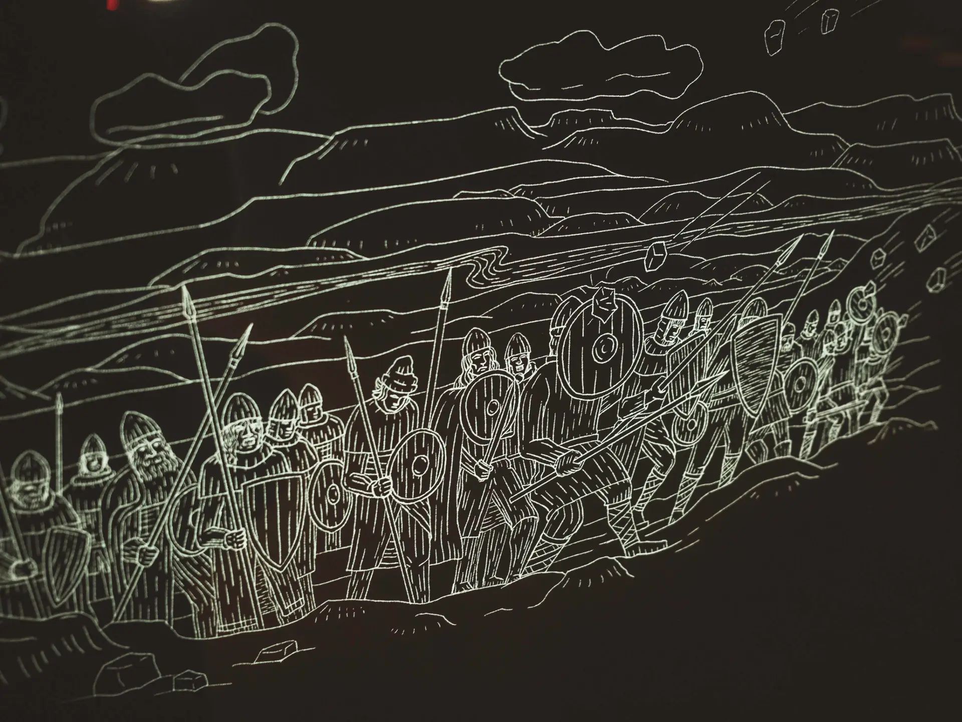
The so-called Sturlung Era (c. 1220–1262) was a civil war–like period in Icelandic history. It is named after the family of Snorri Sturluson, arguably the most famous Icelander.
Clans such as the Sturlungar, the Haukdælir, and the Ásbirningar fought each other in shifting alliances. Their goal was control over Iceland—and with it, influence in relation to Norway.
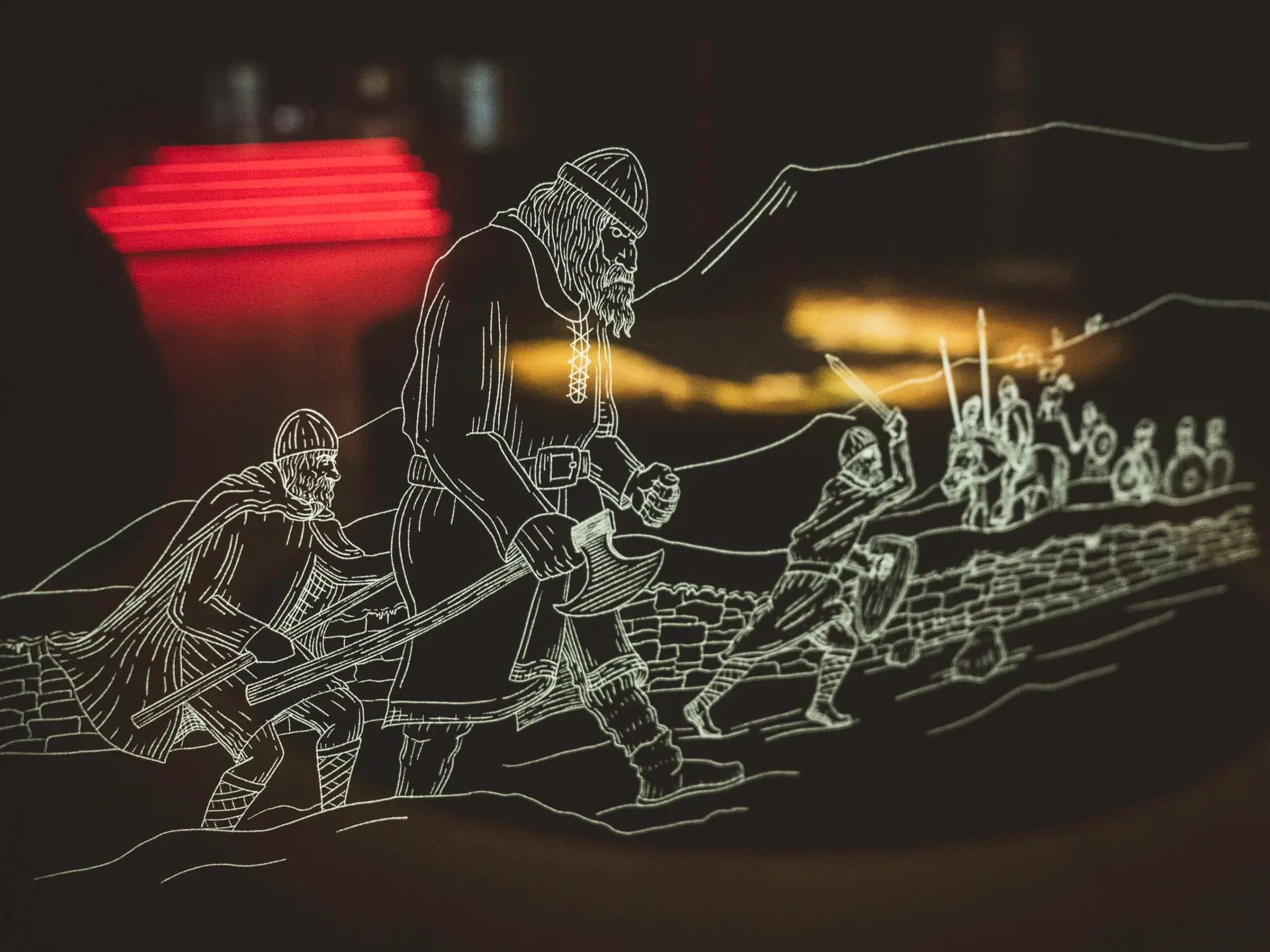
A turning point was the Battle of Örlygsstaðir (1238), where Sturla Sighvatsson, Snorri's nephew, was defeated with around 1,000 men. His opponents, Gissur Þorvaldsson and Kolbeinn ungi, commanded 1,200 warriors. It was the largest battle in Iceland's history in terms of numbers.
Another low point was the Battle of Haugsnes (1246), known as the bloodiest in Icelandic history. Fought on a confined pasture, around 110 men were killed. With the victory of the Sturlungar under Þórður kakali Sighvatsson, vengeance was taken and power temporarily returned to the family. A final triumph—before Norwegian overlordship was ultimately sealed.
In 1262, the era of the free chieftain republic came to an end. Iceland became part of the Norwegian crown, formalized through the so-called Gamli sáttmáli—the "Old Covenant."
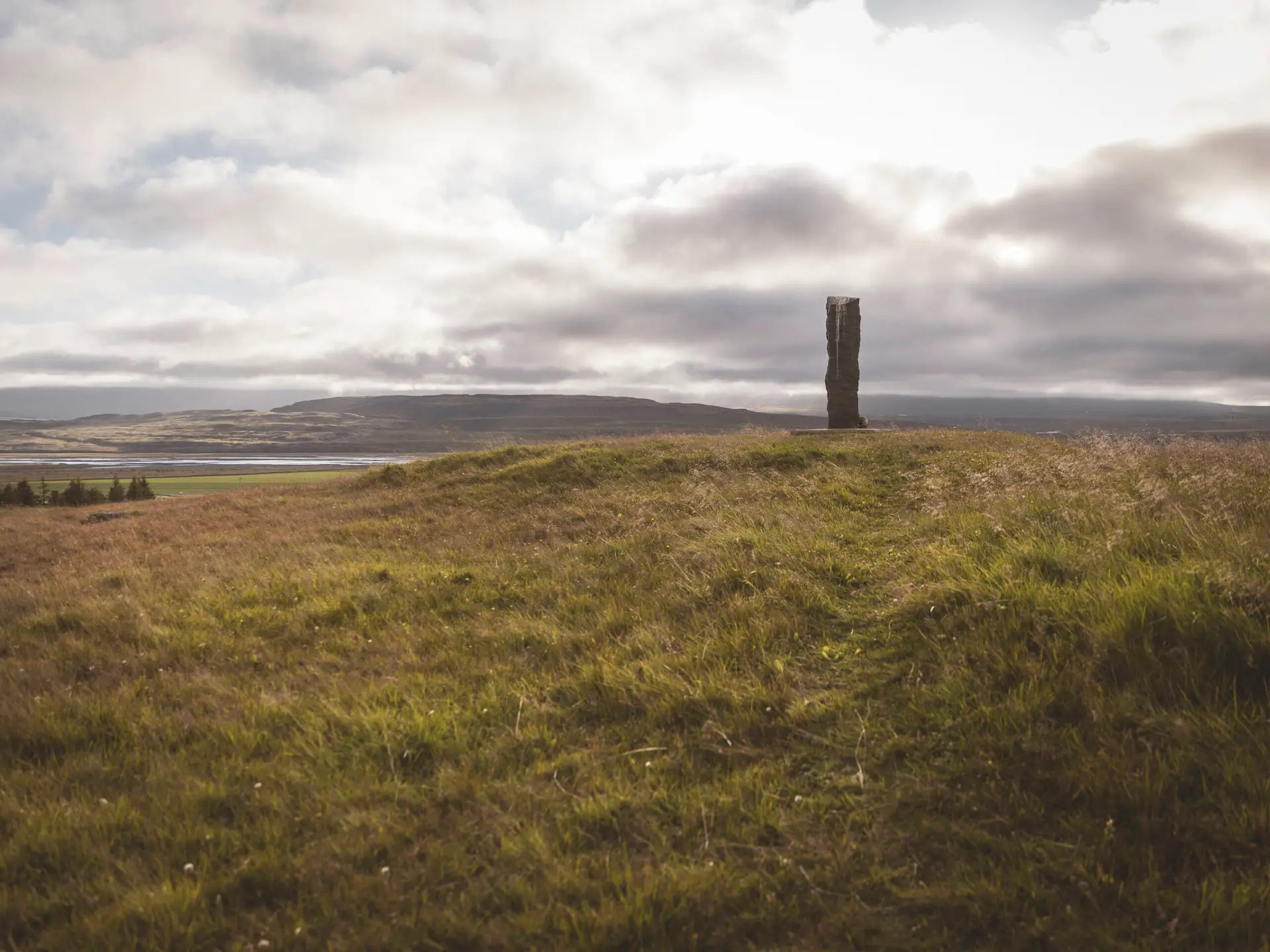
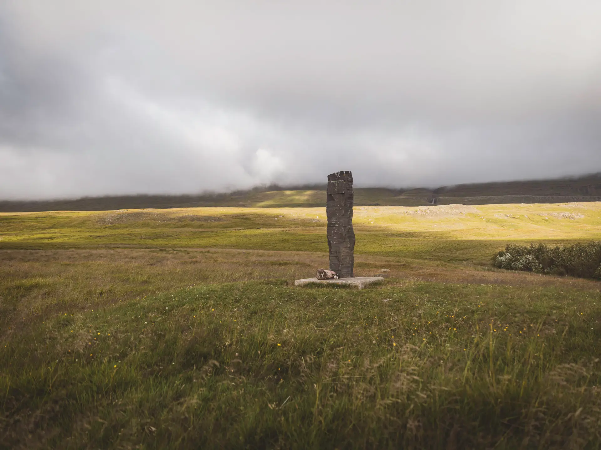
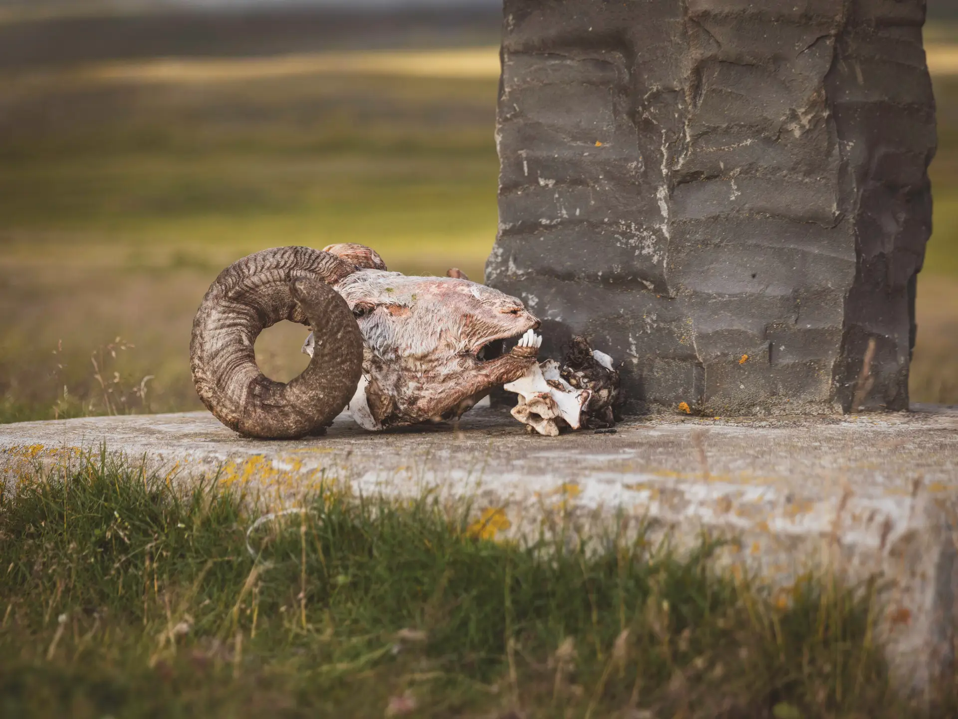
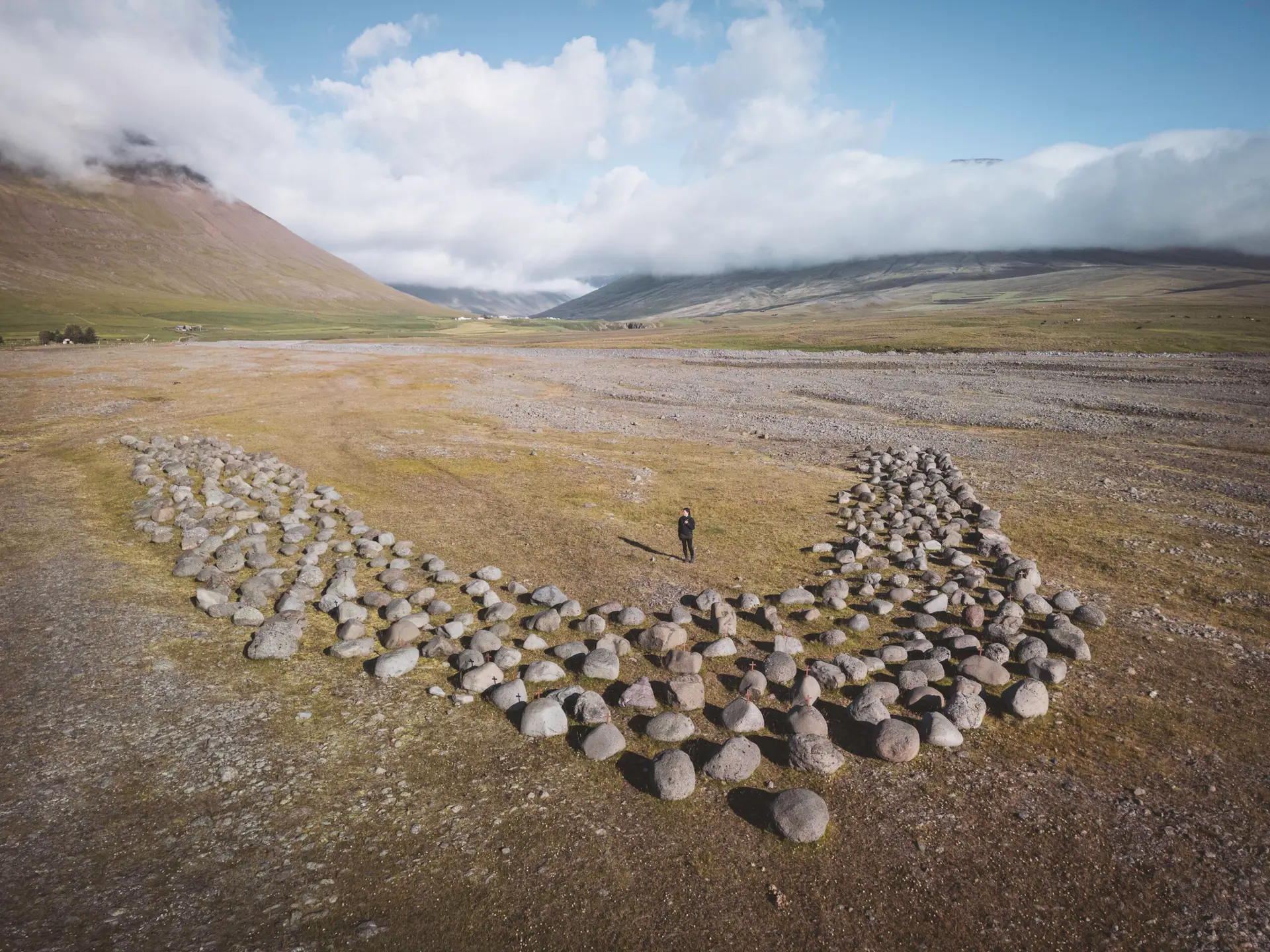
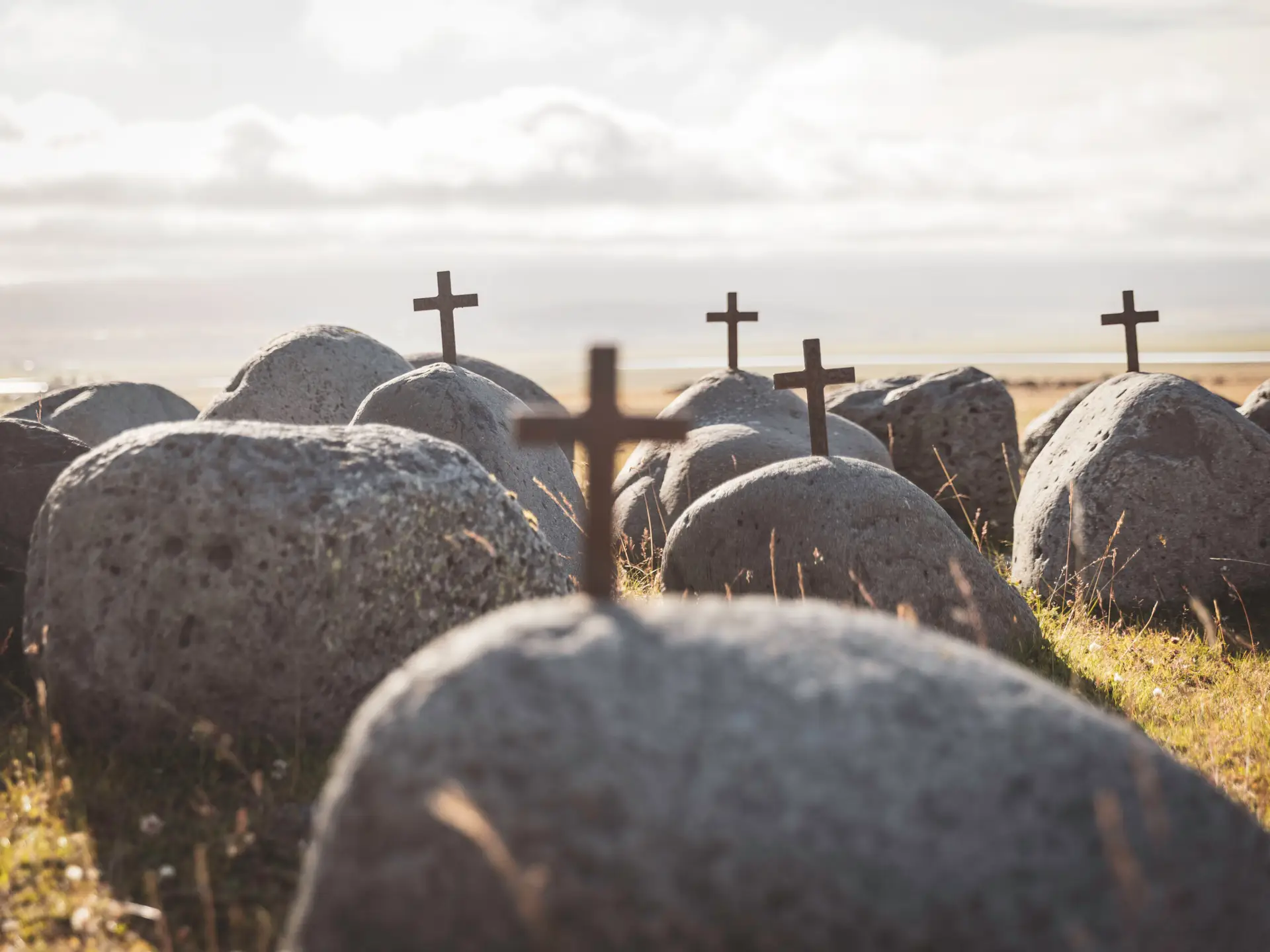
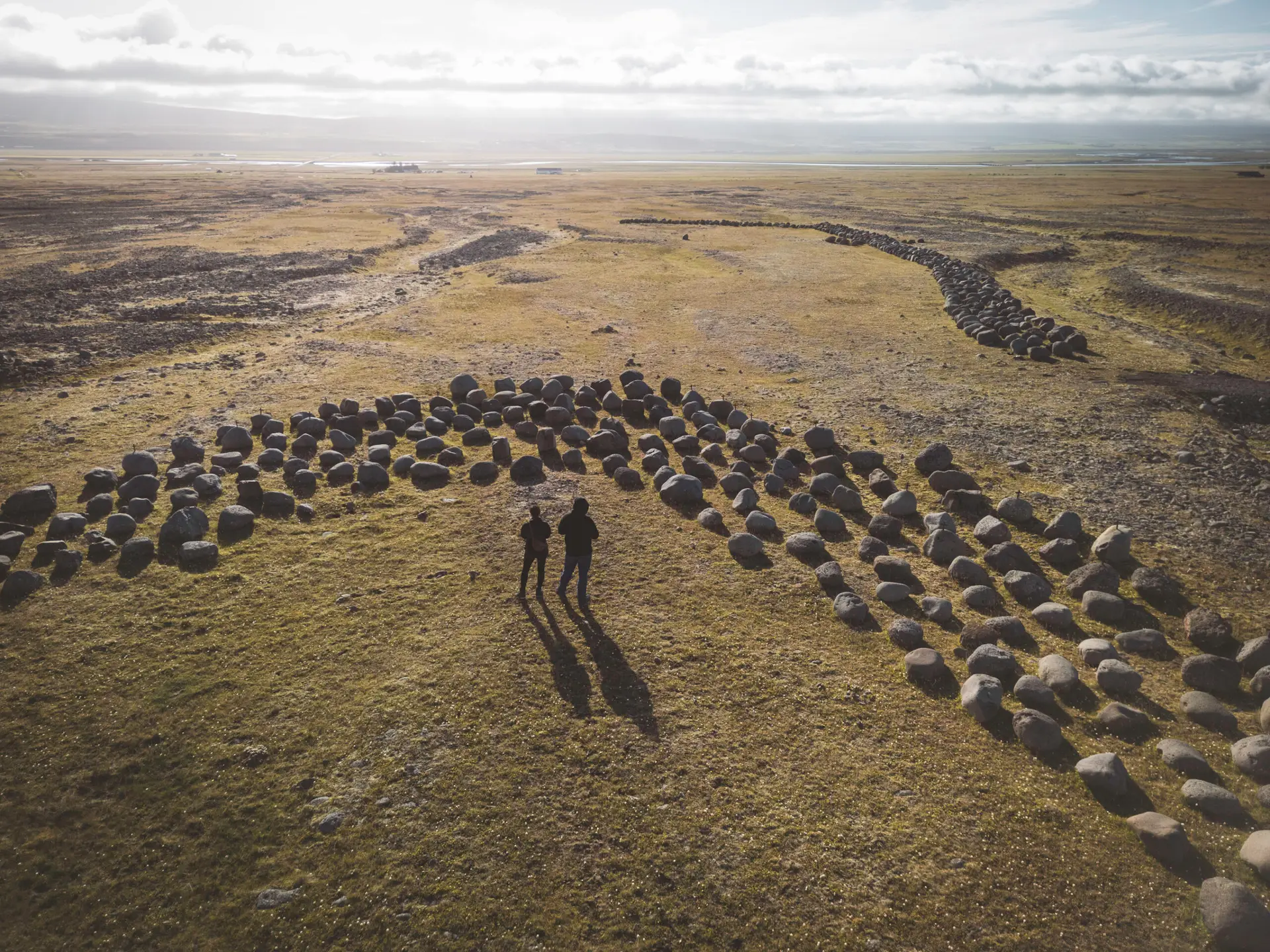
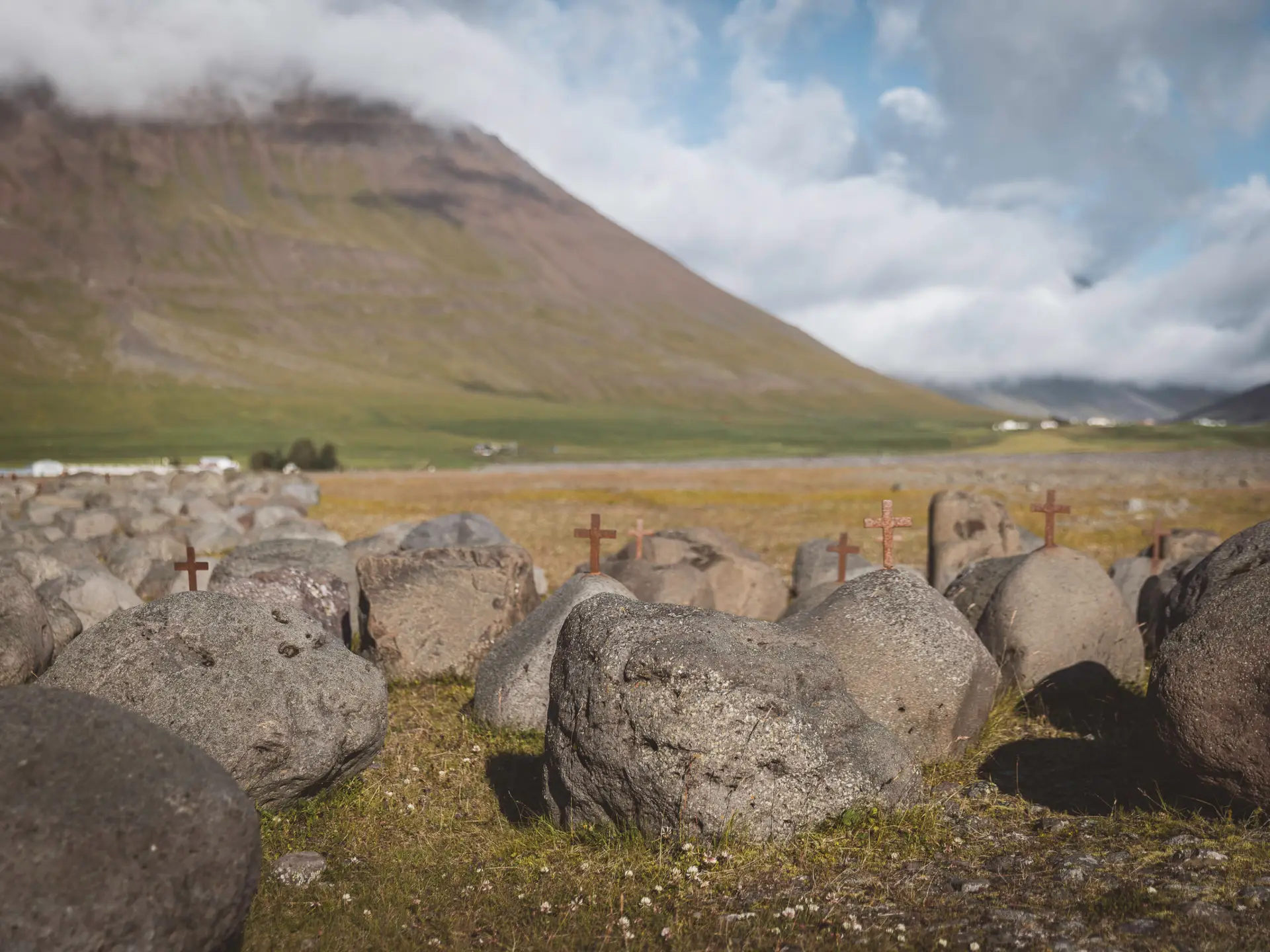
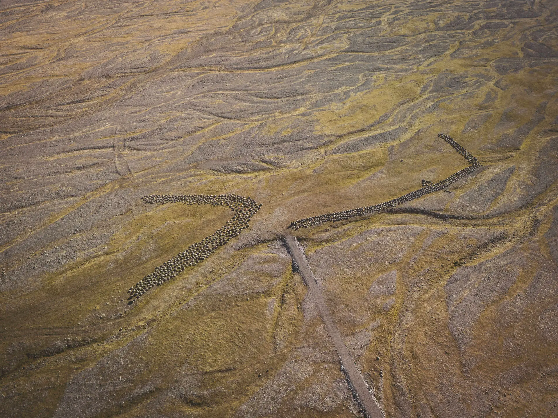
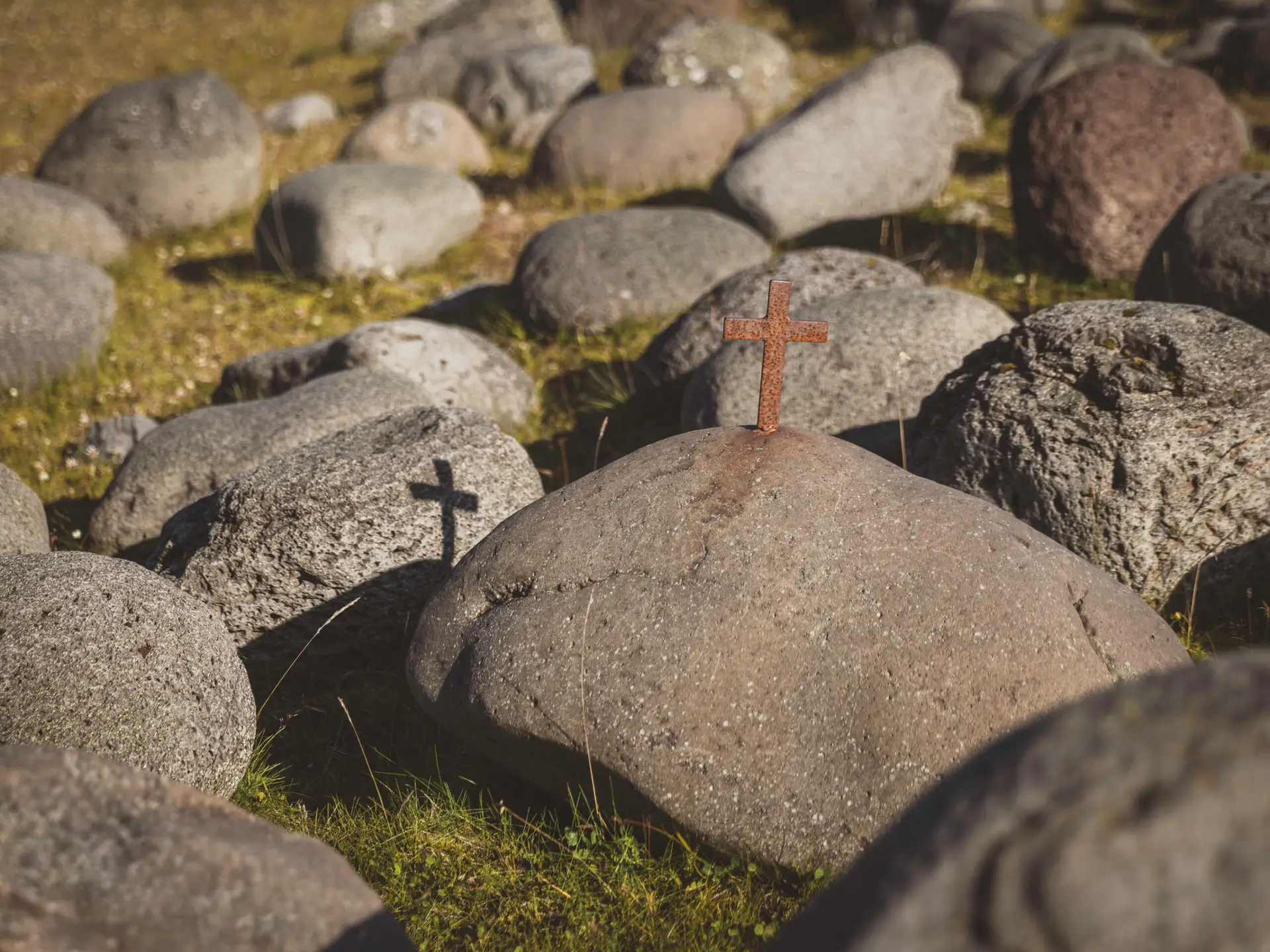
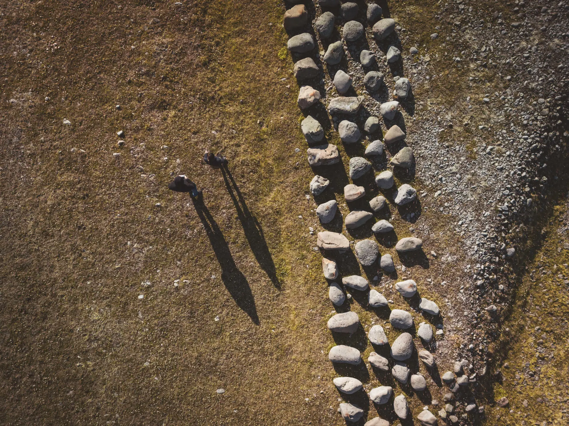
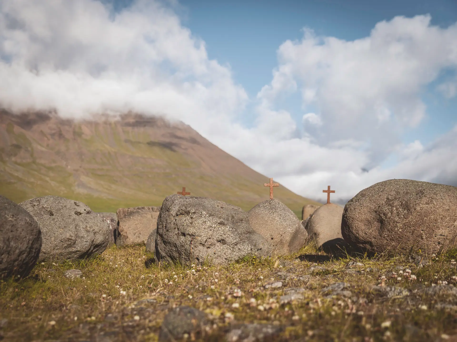
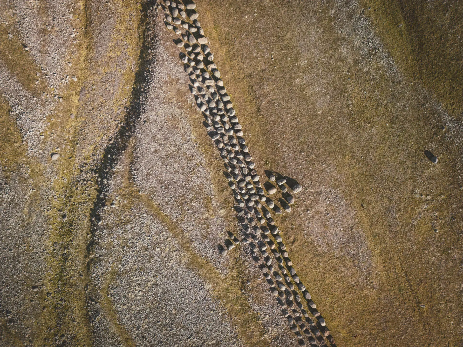
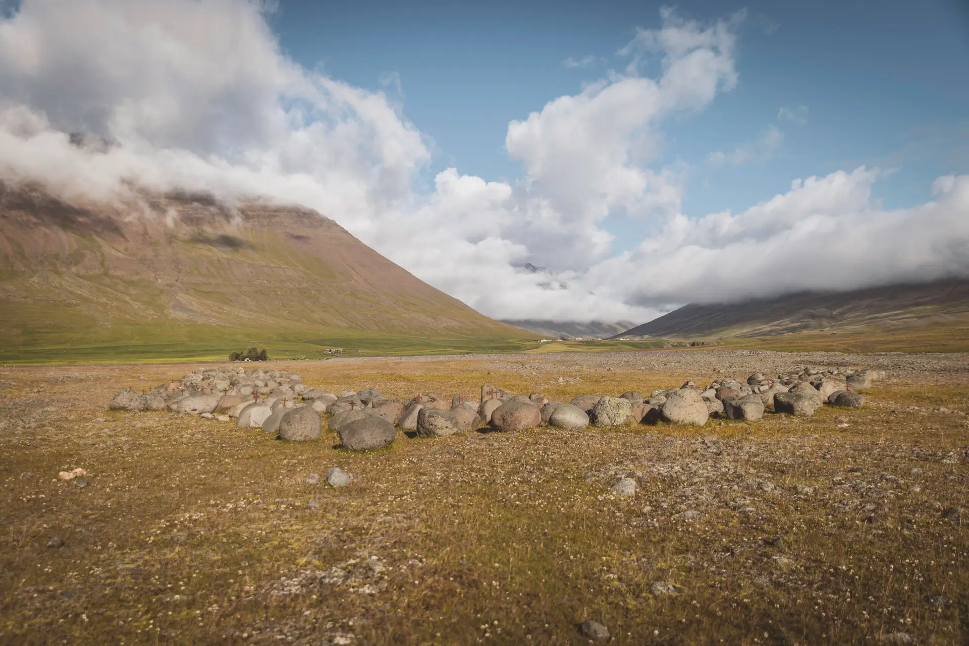
Battlefield of Haugsnes (1246)
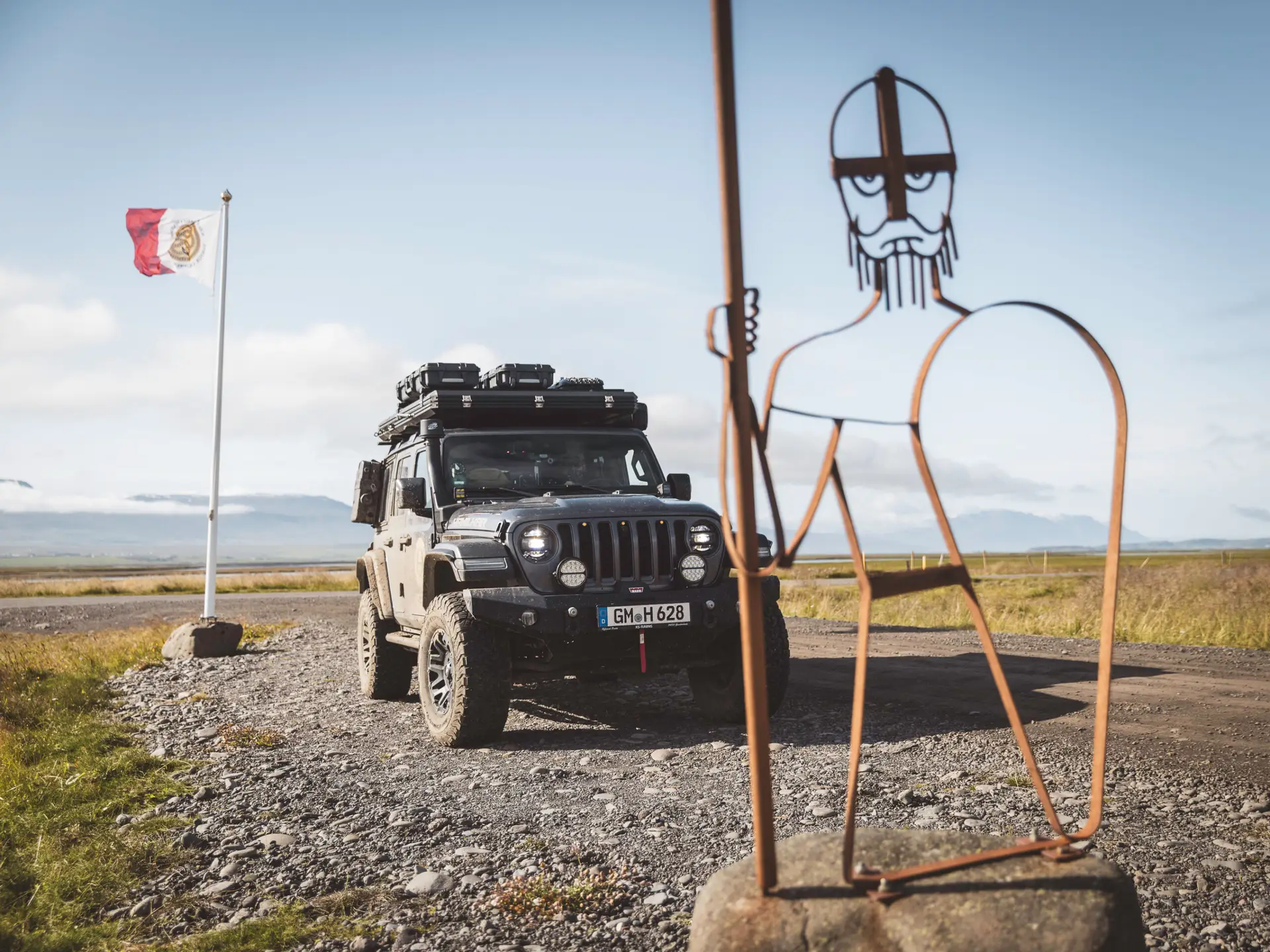
At the battlefield of Haugsnes, a remarkable memorial now commemorates the bloodiest clash of the Sturlung Era: the Stone Army. More than 1,300 stones stand there, each representing a warrior who stood on the fields of Haugsnes in 1246. Crosses mark the fallen.
This memorial was created by Sigurður Hansen, the founder of Kakalaskáli (see below).
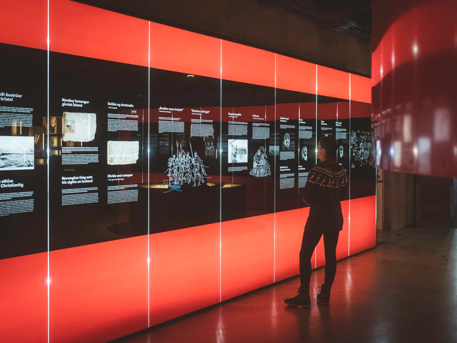
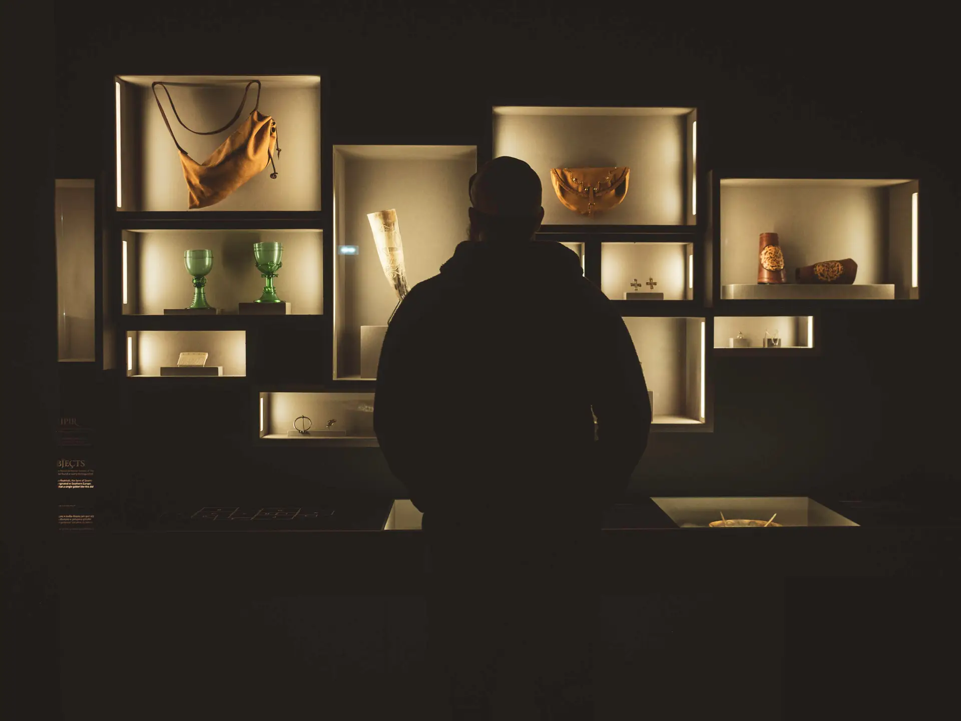
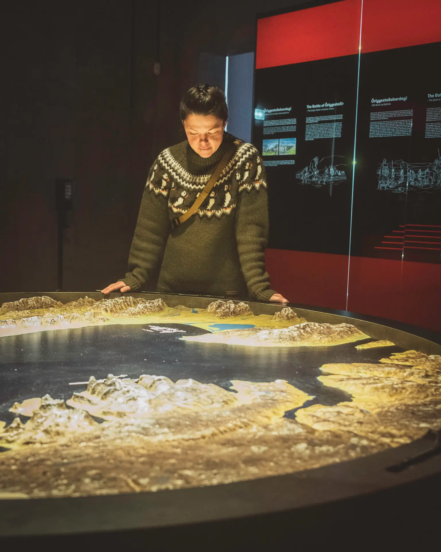
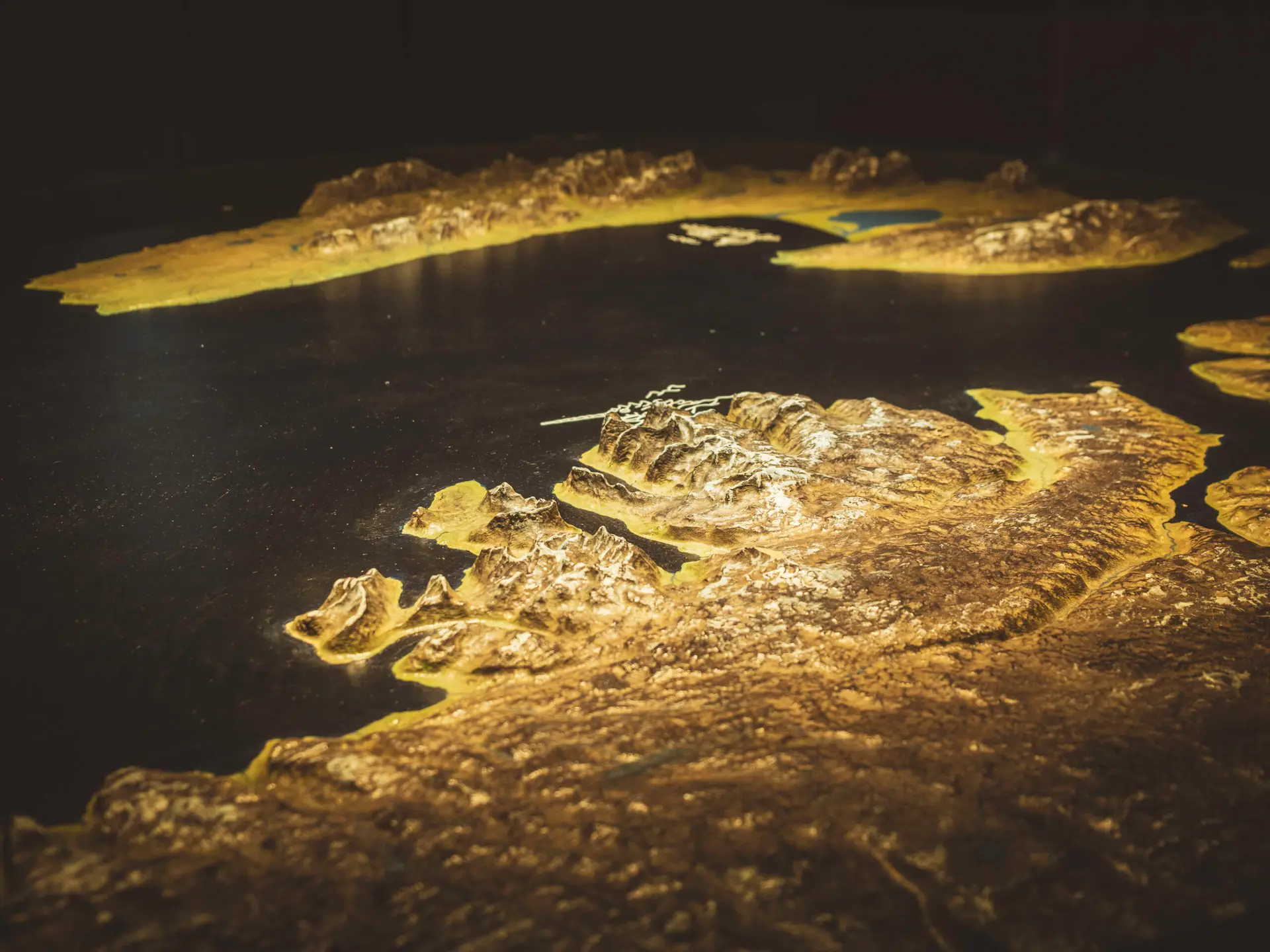
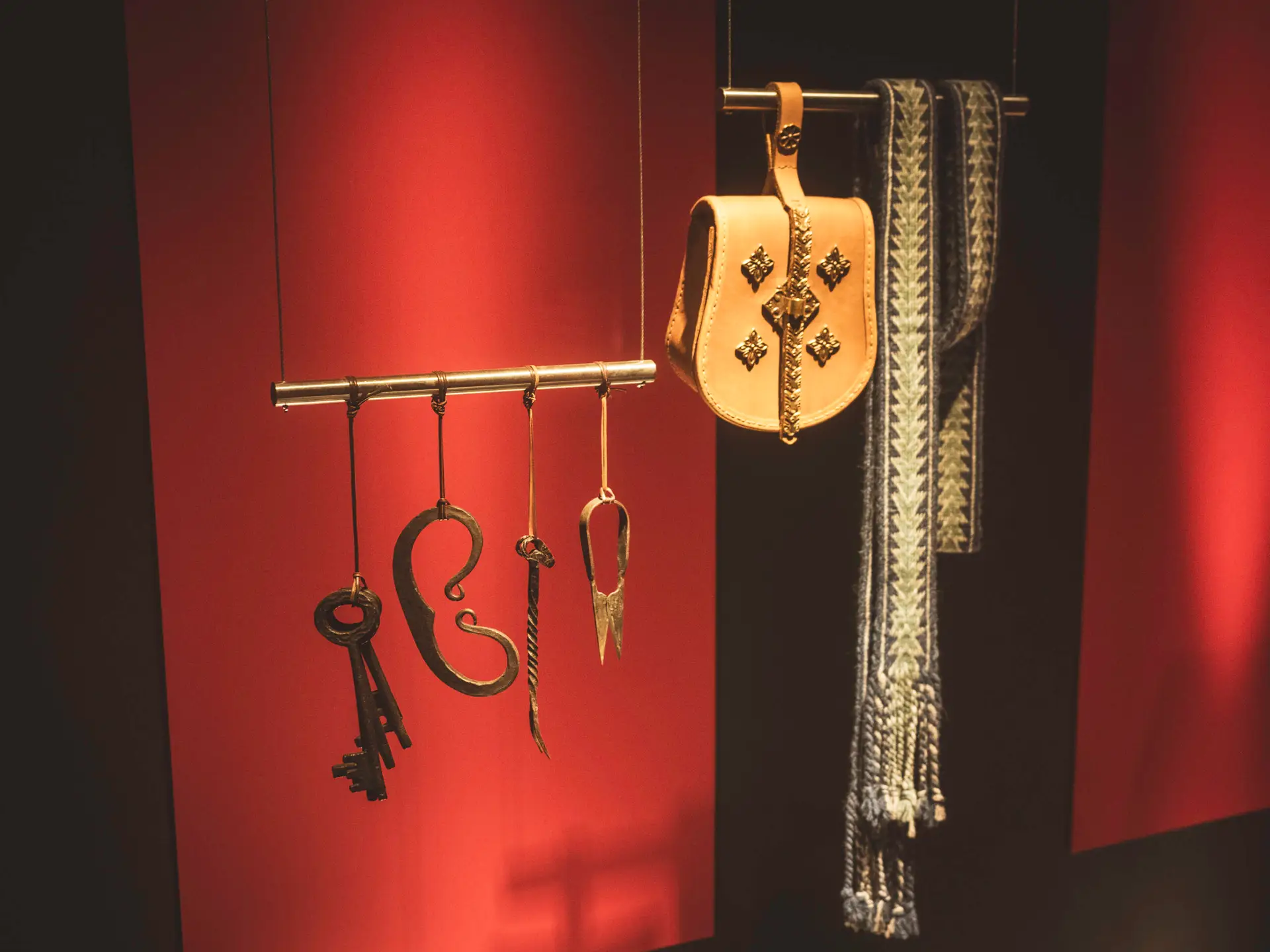
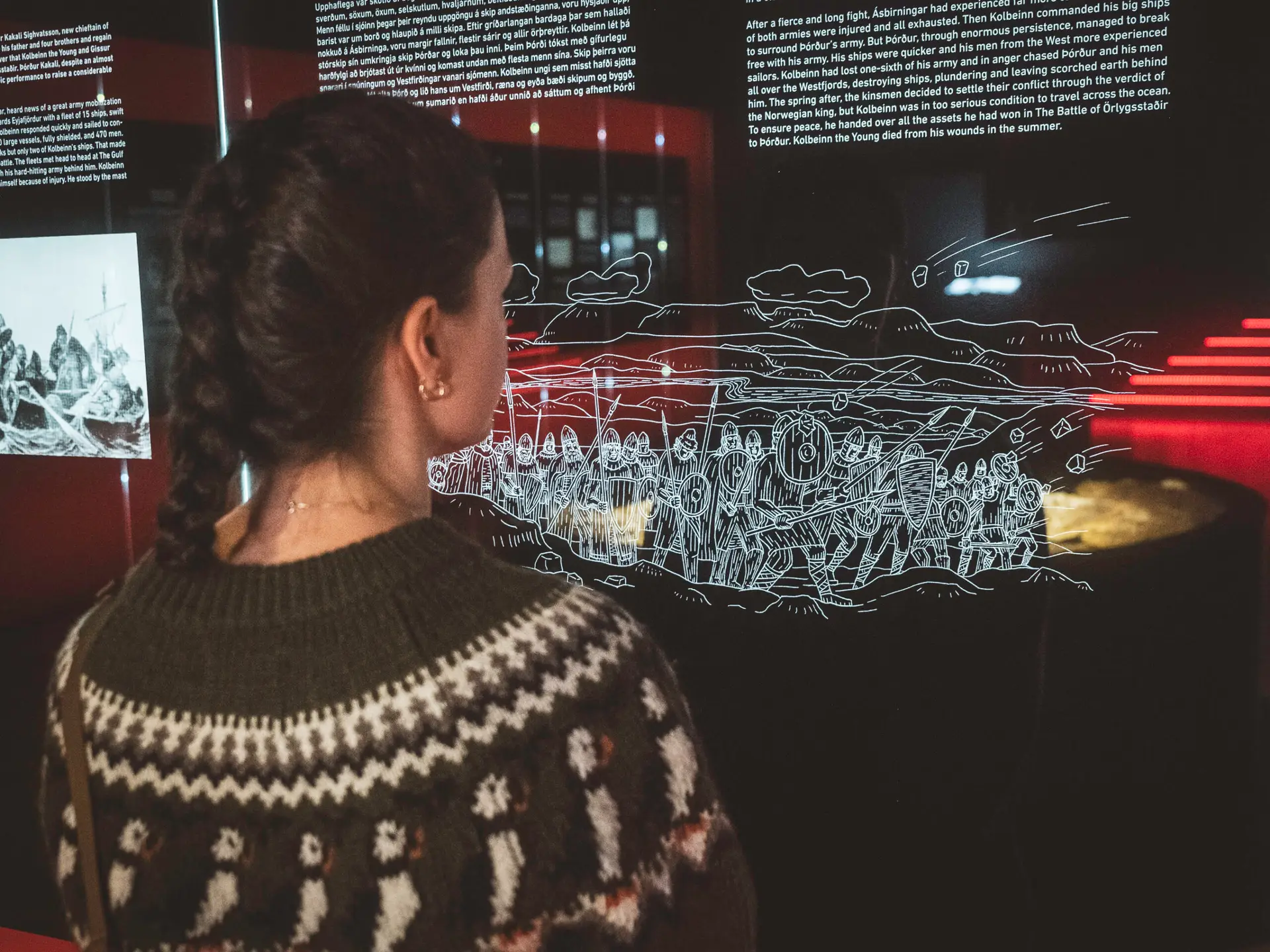
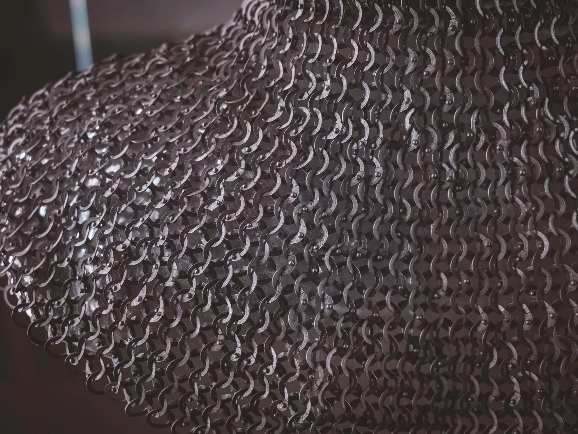
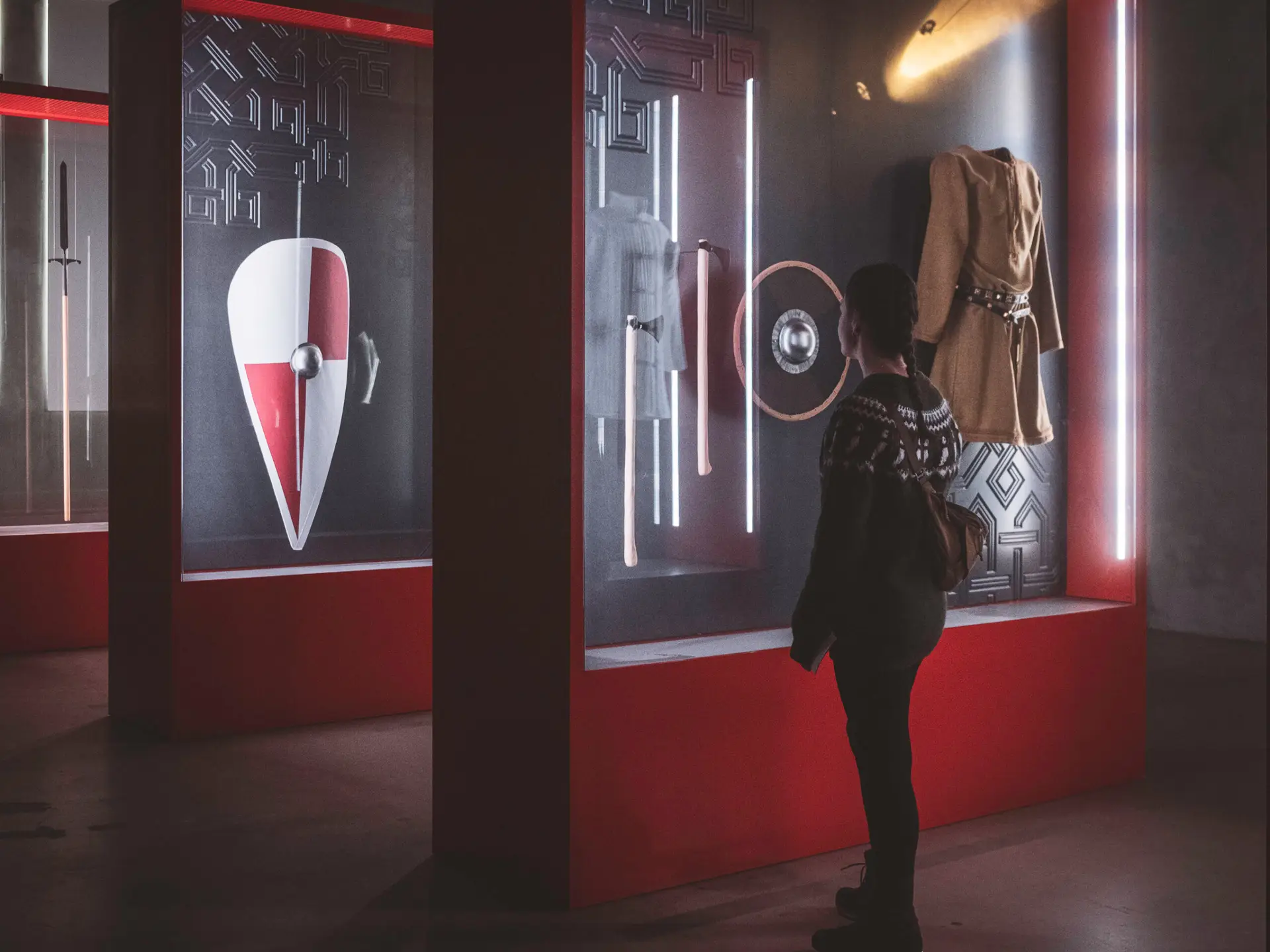
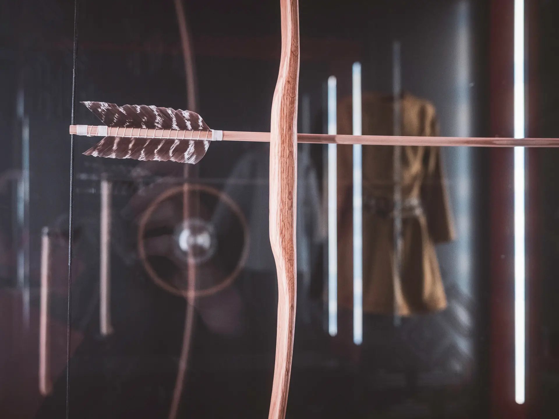
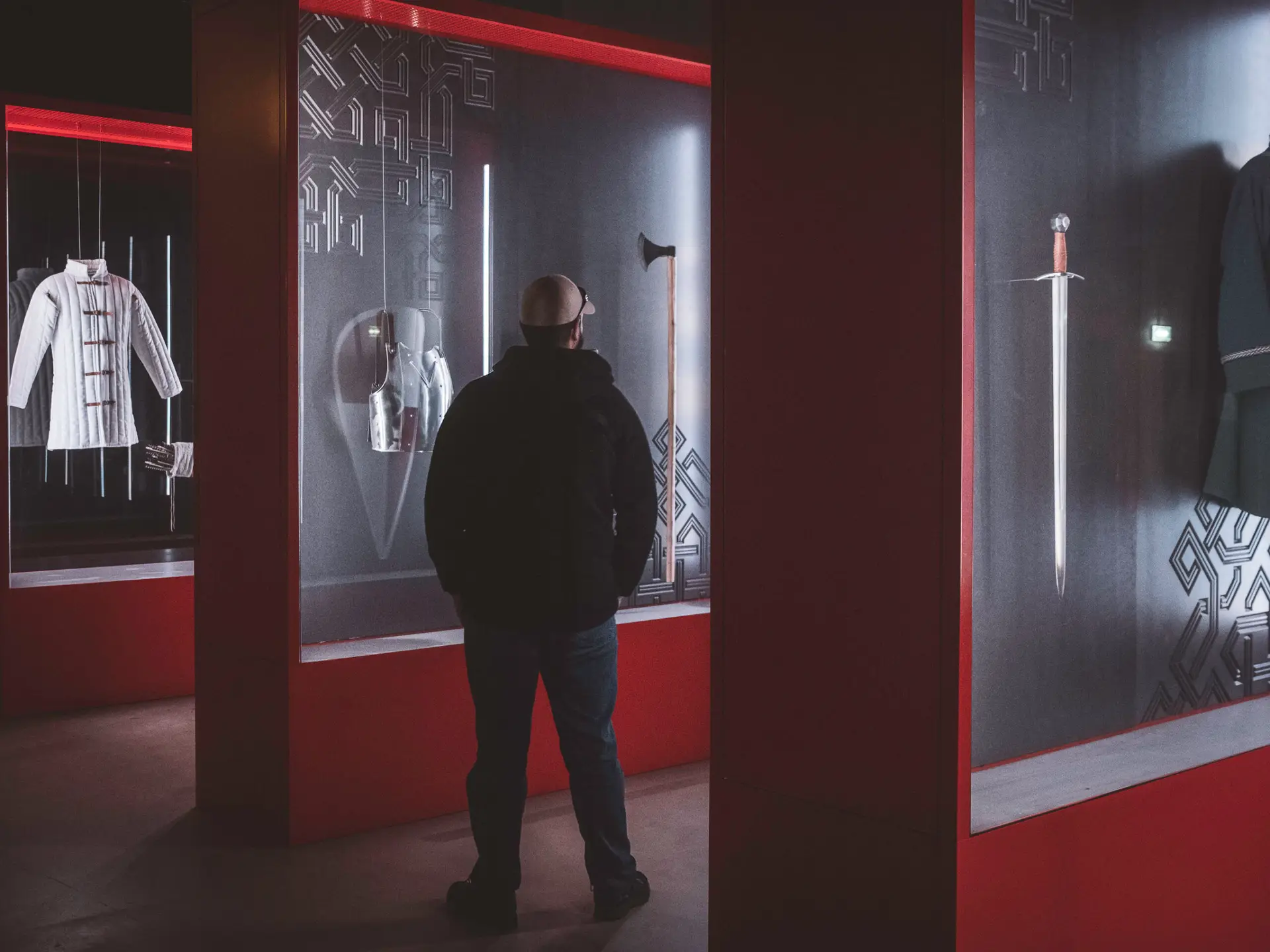
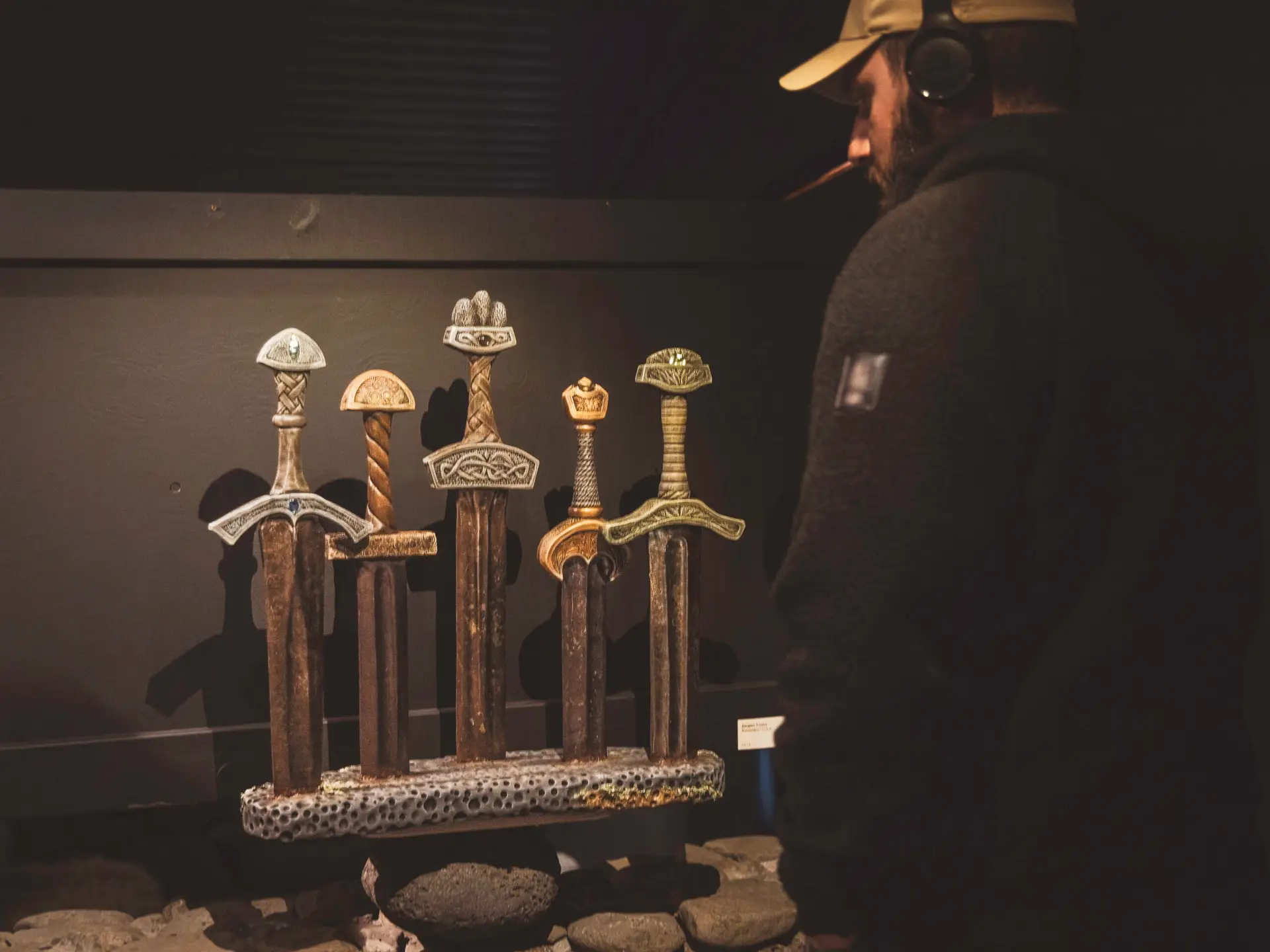
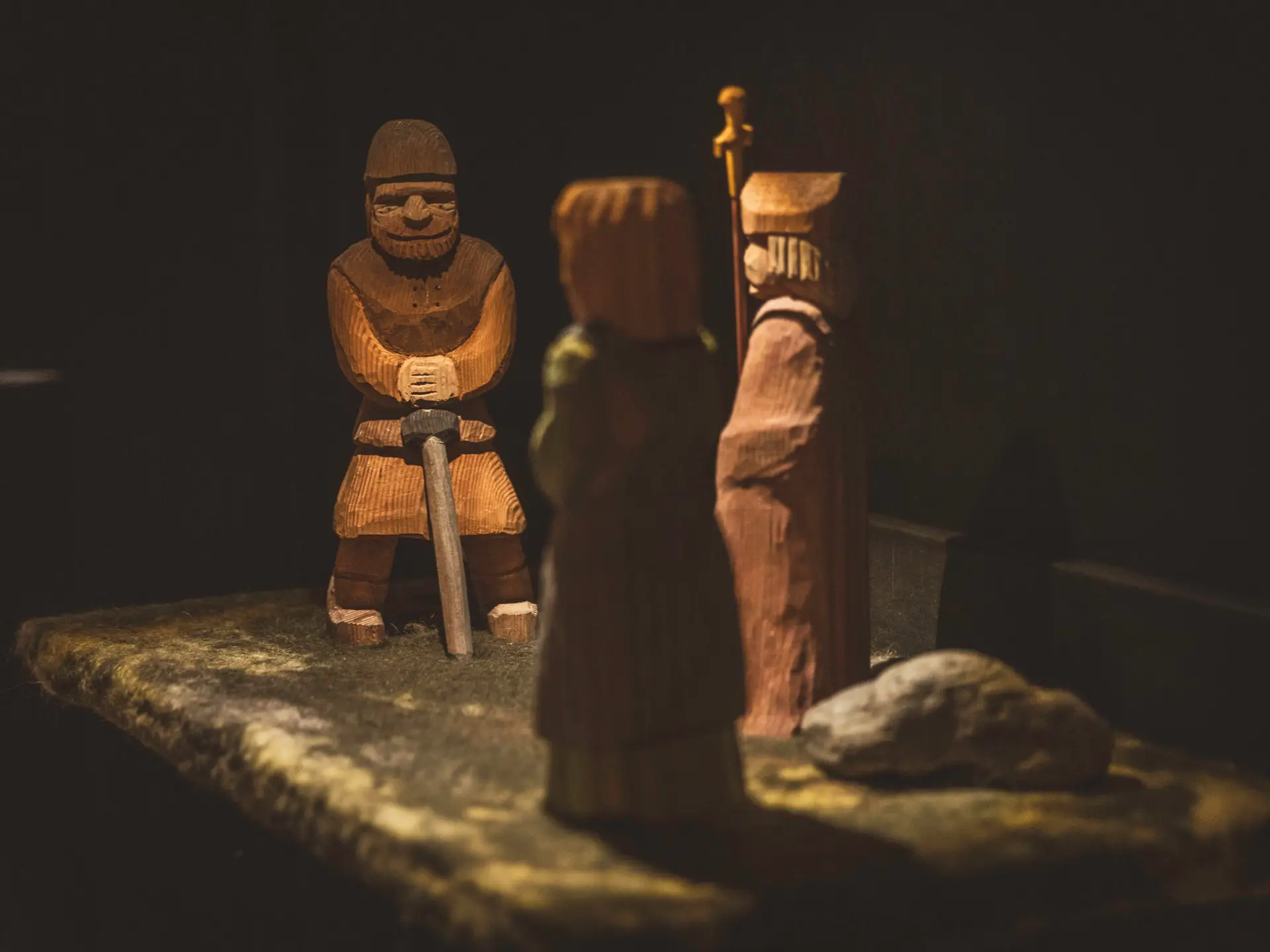
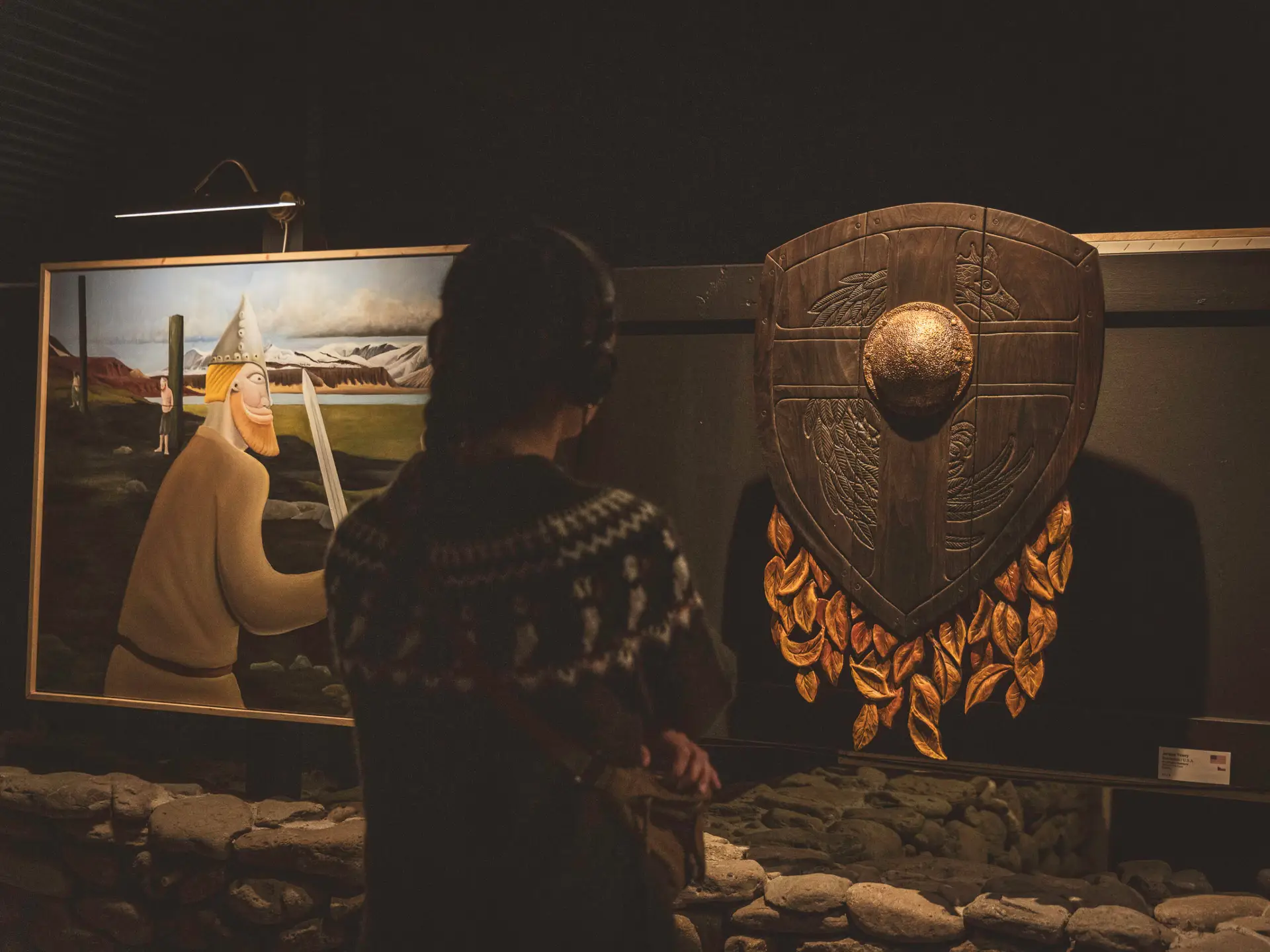
Museum "1238: The Battle of Iceland"
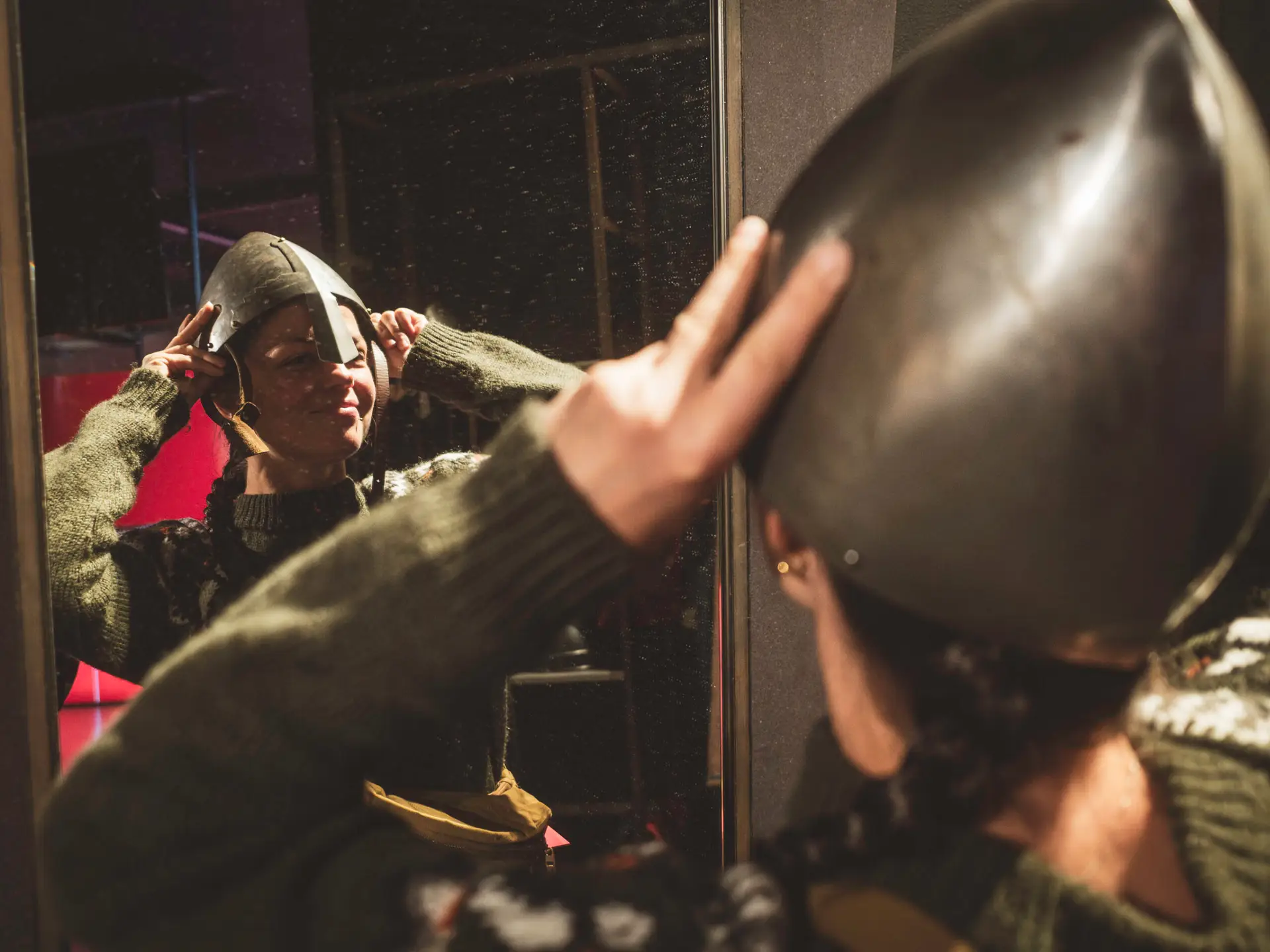
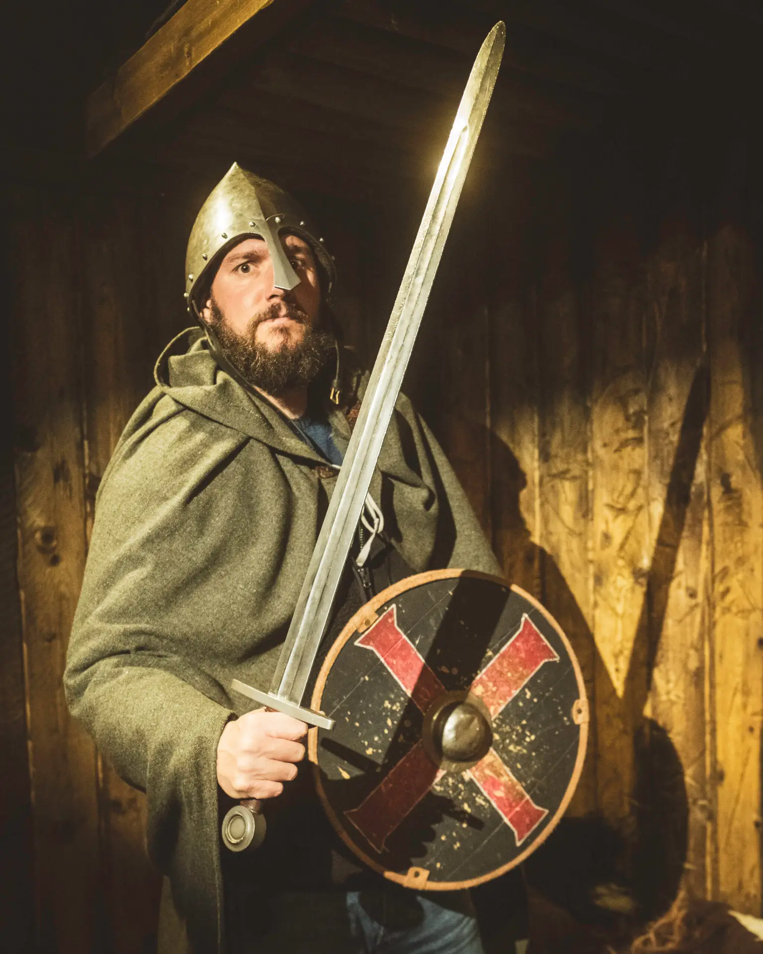
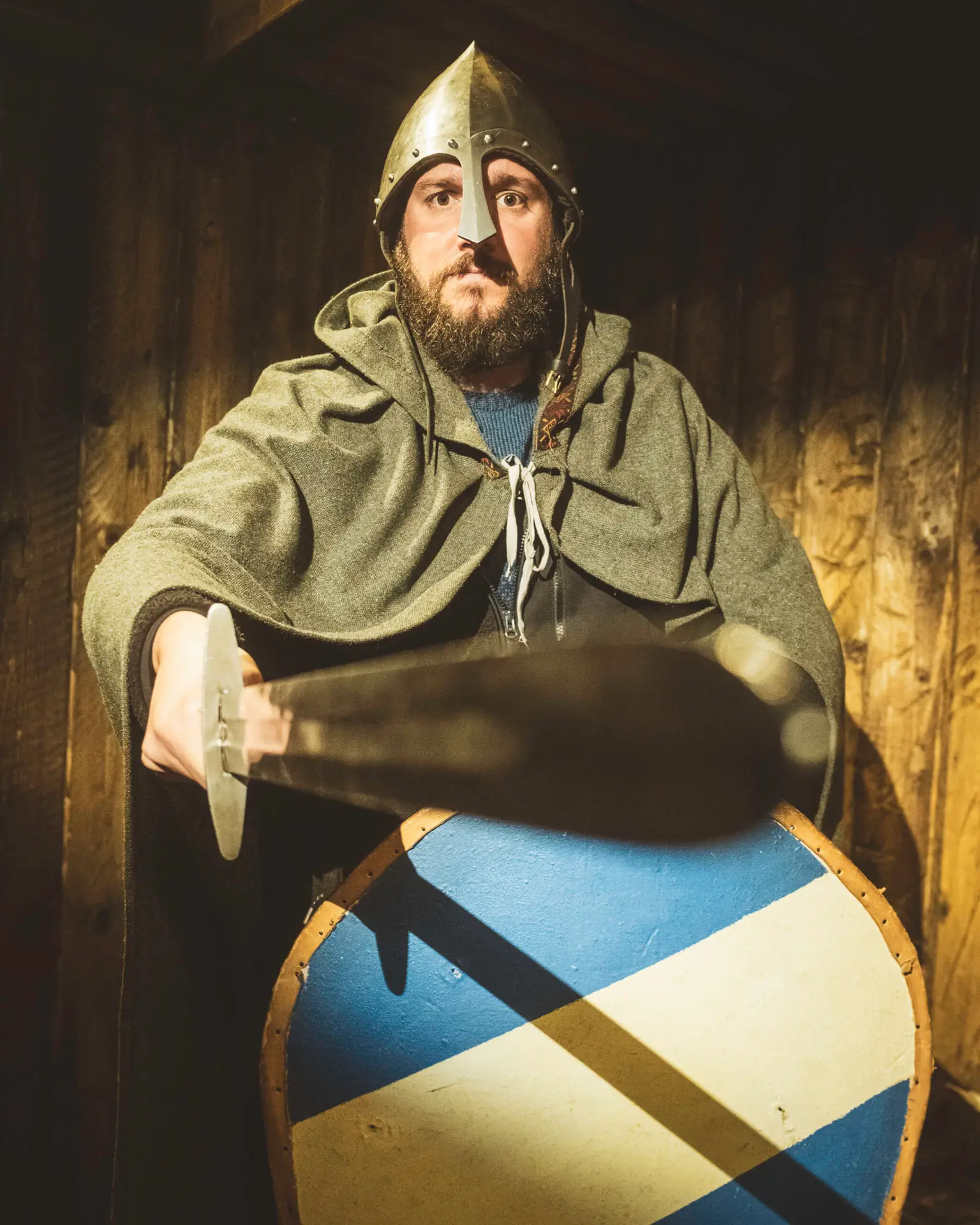
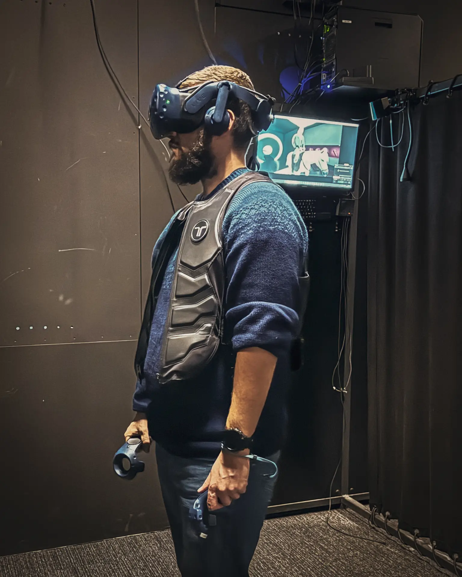
In the quiet town of Sauðárkrókur, you’ll find a modern and surprisingly thoughtfully designed museum dedicated to this era. Alongside detailed replicas and plenty of background information, visitors can dress up as Vikings—and there’s even a VR experience that lets you immerse yourself in the Battle of Örlygsstaðir.
Honestly, we were positively surprised to find such a diverse and engaging museum out here in the “middle of nowhere” — a place where history comes to life on many levels.
And yes: the cake in the café is definitely a reason to stick around a little longer.
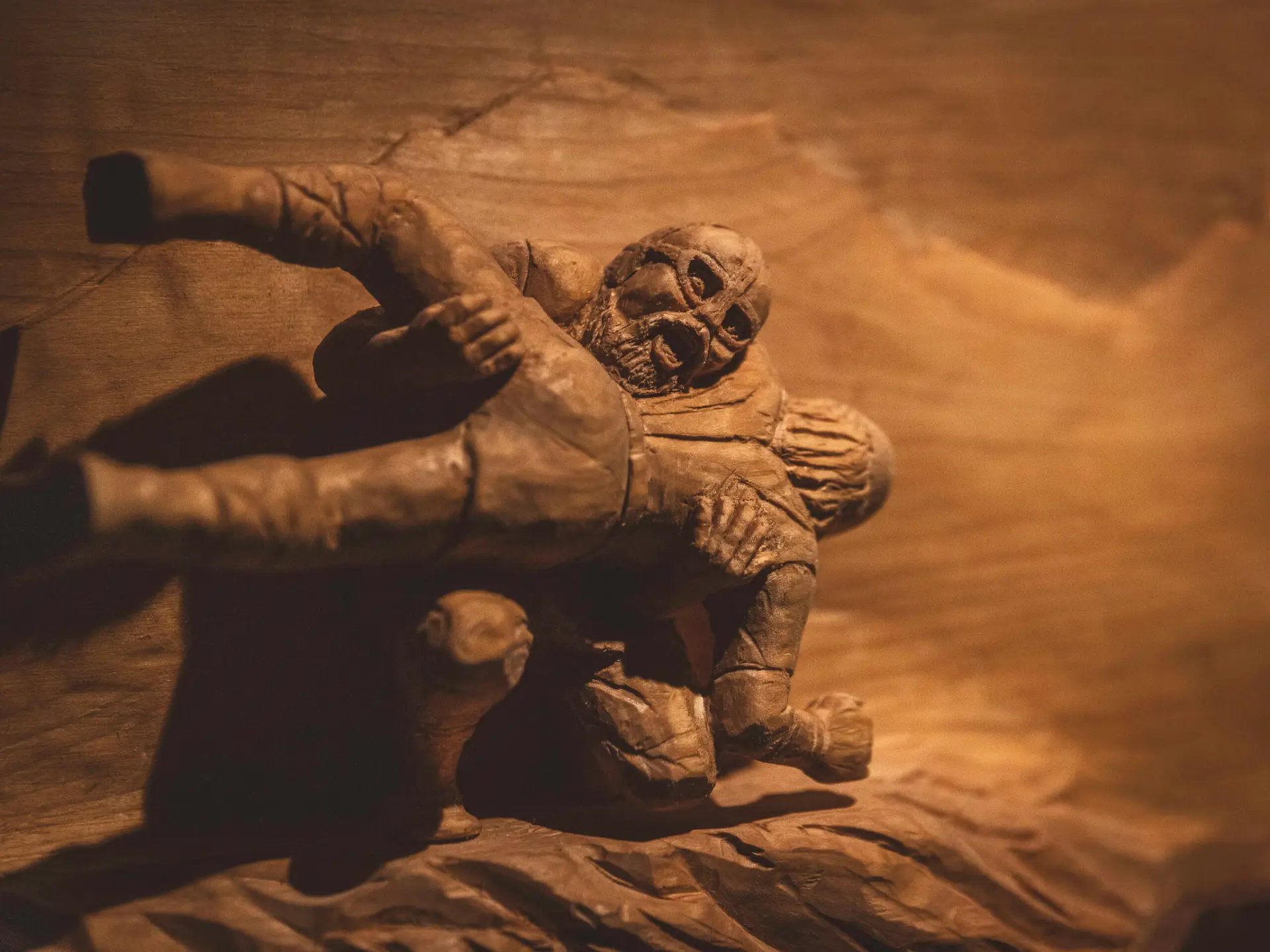
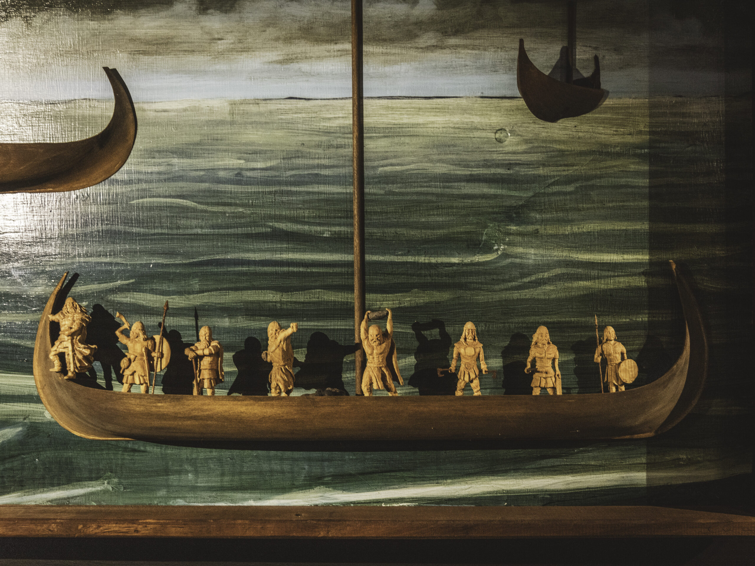
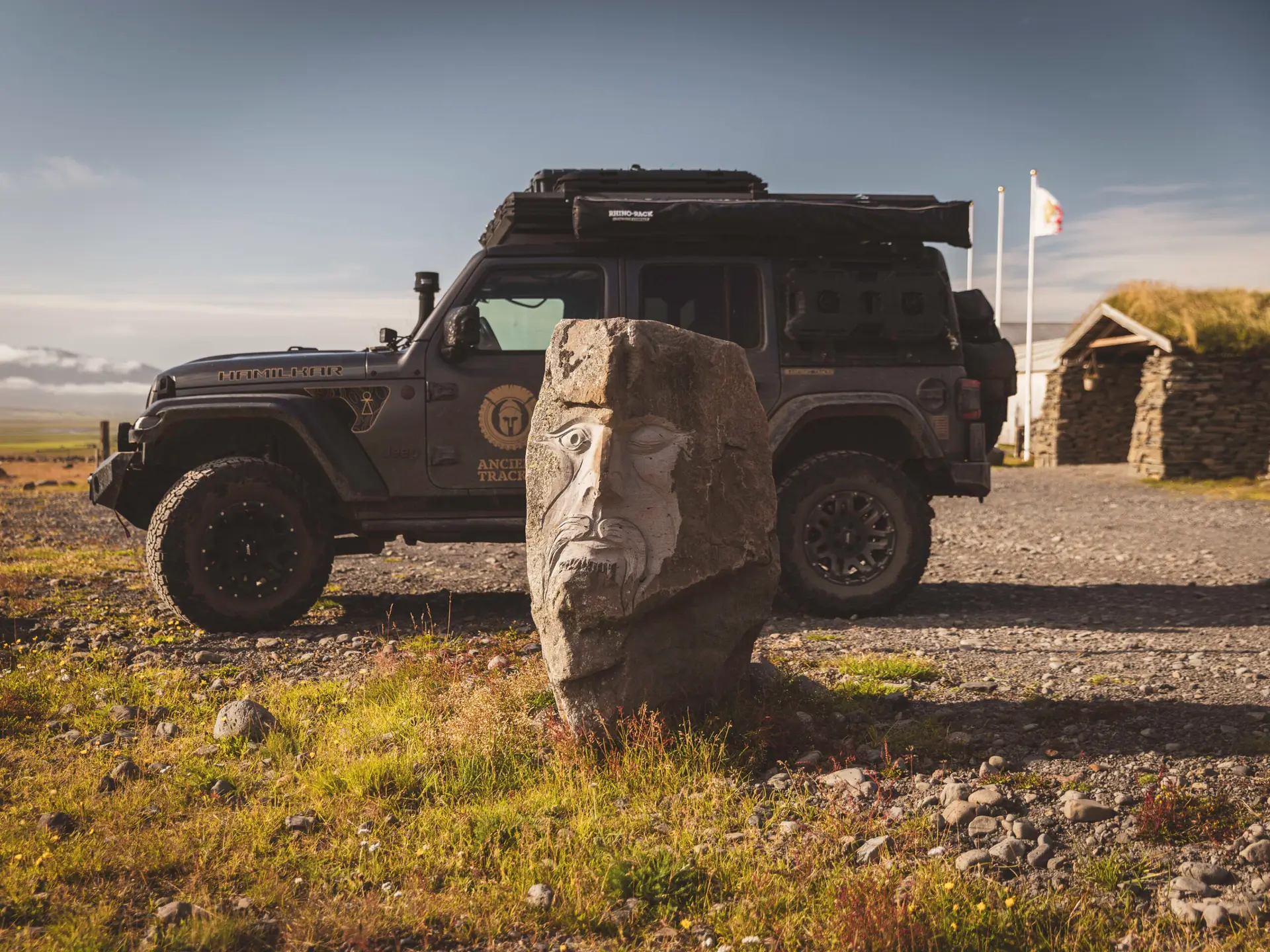
Kakalaskáli
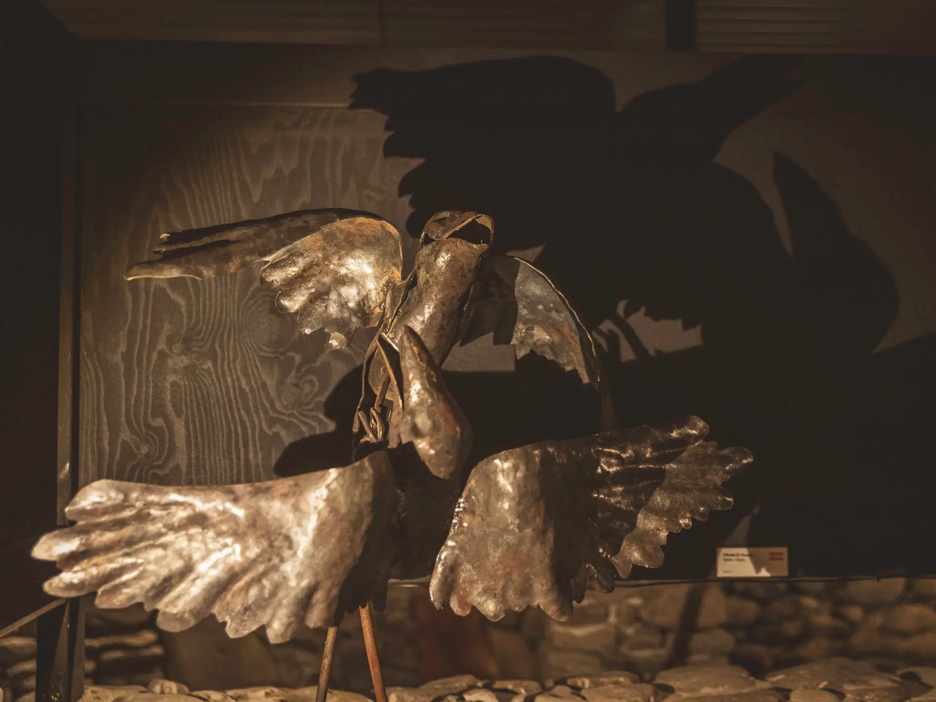
Kakalaskáli is a cultural and historical center near the Haugsnes battlefield. It is dedicated to the life of Þórður kakali Sighvatsson and the Sturlung Era. The exhibition features artworks by 14 artists from 10 countries, depicting the events of this turbulent period—accompanied by an audio guide that brings the stories to life.
Sie sehen gerade einen Platzhalterinhalt von Google Maps. Um auf den eigentlichen Inhalt zuzugreifen, klicken Sie auf die Schaltfläche unten. Bitte beachten Sie, dass dabei Daten an Drittanbieter weitergegeben werden.
Mehr InformationenHow to get there?
- Museum „1238: The Battle of Iceland“ at Google Maps,
Coordinates: 65°45’08.9″N 19°39’06.9″W
Website: Museum Website
- Örlygsstaðir at Google Maps,
Coordinates: 65°30’12.9″N 19°17’30.6″W
- Haugsnesbardagi at Google Maps,
Coordinates: 65°33’31.0″N 19°19’06.6″W
- Kakalaskáli at Google Maps,
Coordinates: 65°33’35.9″N 19°18’18.4″W
Website: Museum Website