
KwaZulu-Natal 🇿🇦
Content
In the early nineteenth century, the Zulu lived as one of many small Nguni clans in what is now KwaZulu-Natal, South Africa.
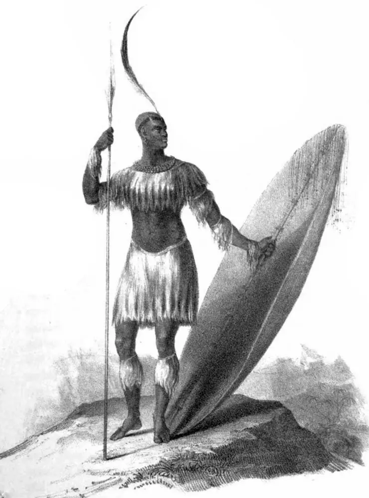
Around 1816, Shaka, the son of Chief Senzangakhona, rose to power and began uniting the scattered clans. Within a few years he created a kingdom that shaped much of southern Africa and became remarkable for its military organisation and political structure.
King Shaka
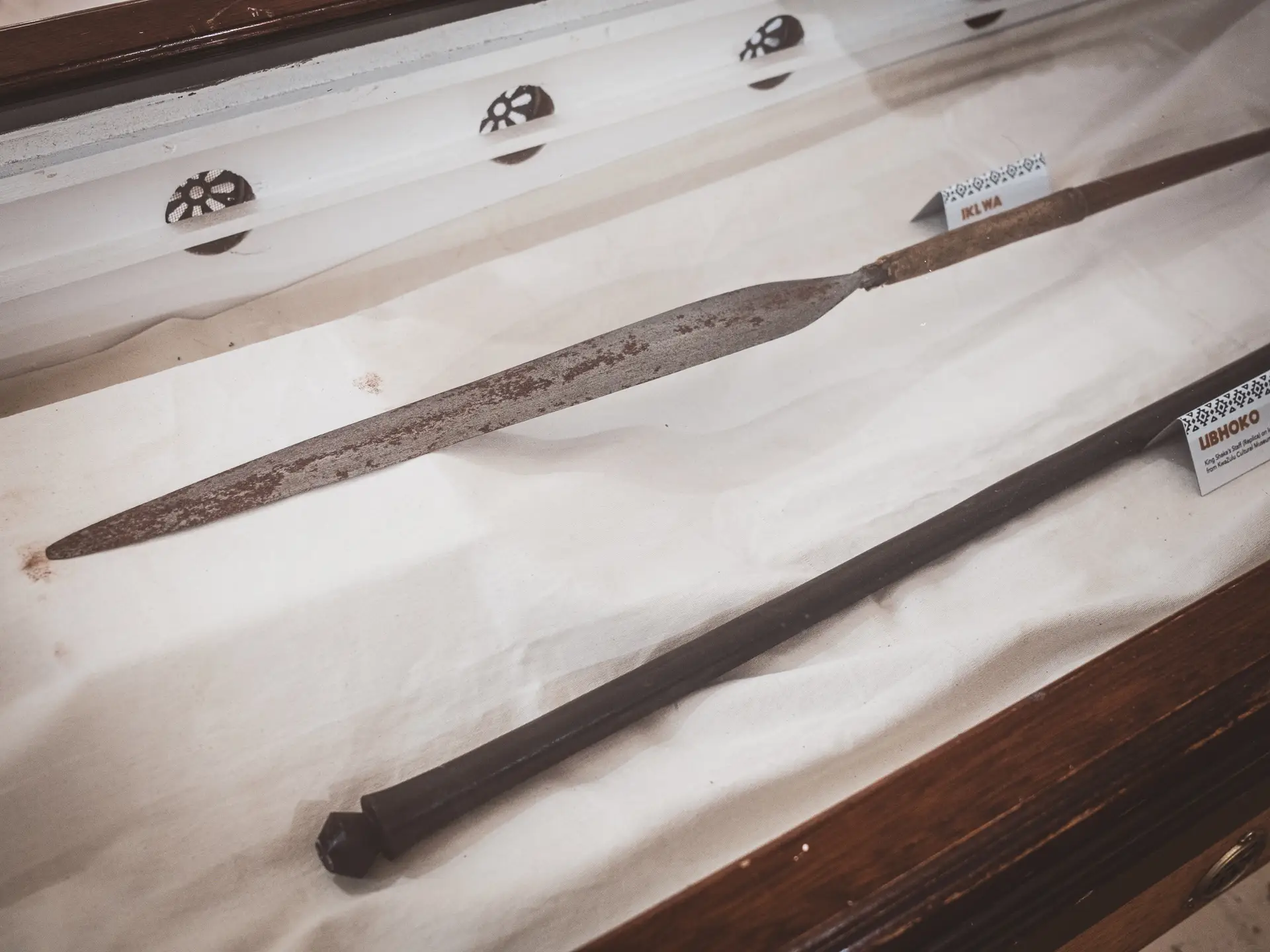
Shaka transformed his people into a disciplined warrior society. He introduced new tactics, such as the short stabbing spear called the iklwa for close combat, and organised his men into fixed regiments with a clear hierarchy. Battles were no longer fought in loose formations but in compact ranks that encircled the enemy, a tactic known as the “Horns of the Buffalo”.
Under his leadership, fortified military settlements were established where warriors lived and trained together. Yet Shaka’s rule became increasingly marked by severity and distrust.
After the death of his mother, he descended into violent outbursts and ordered the execution of many of his subjects. In 1828 he was finally assassinated by his half-brothers Dingane and Mhlangana.
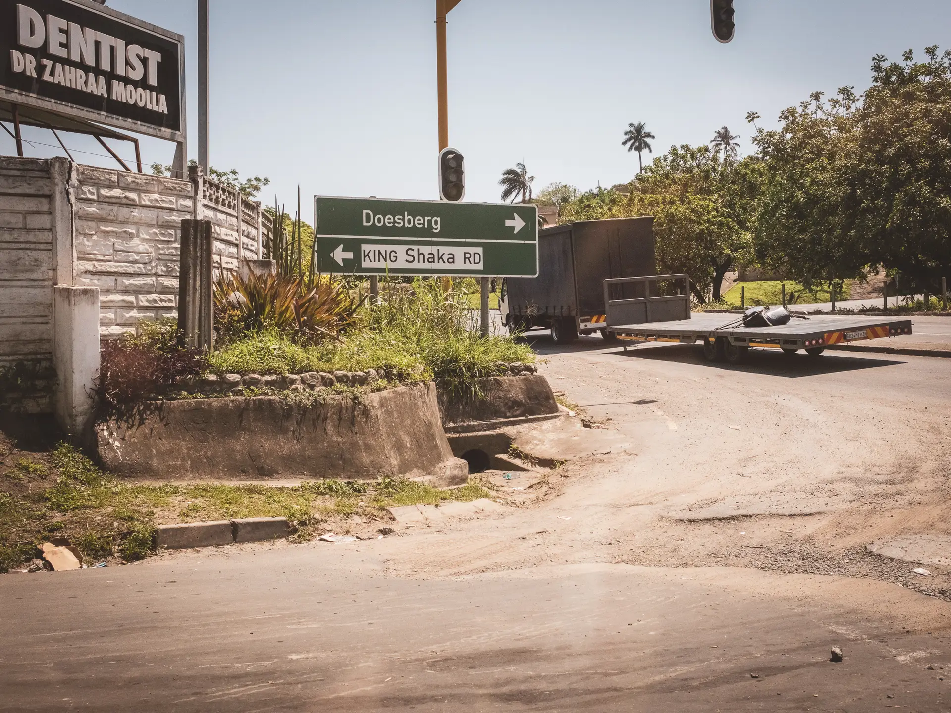
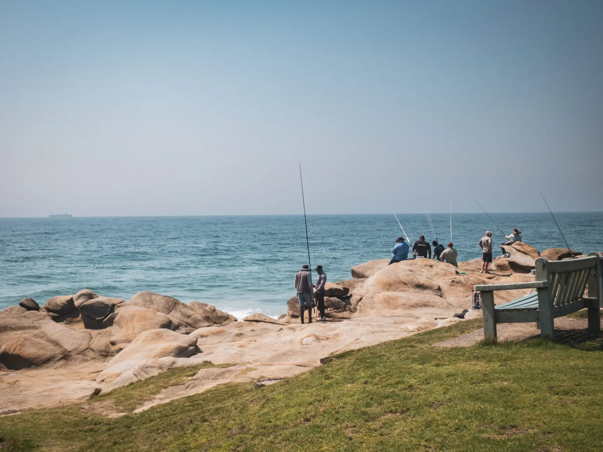
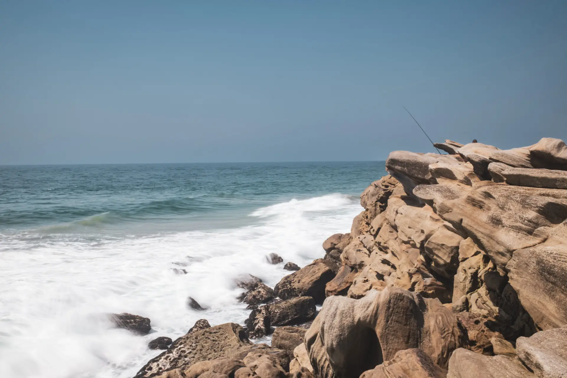
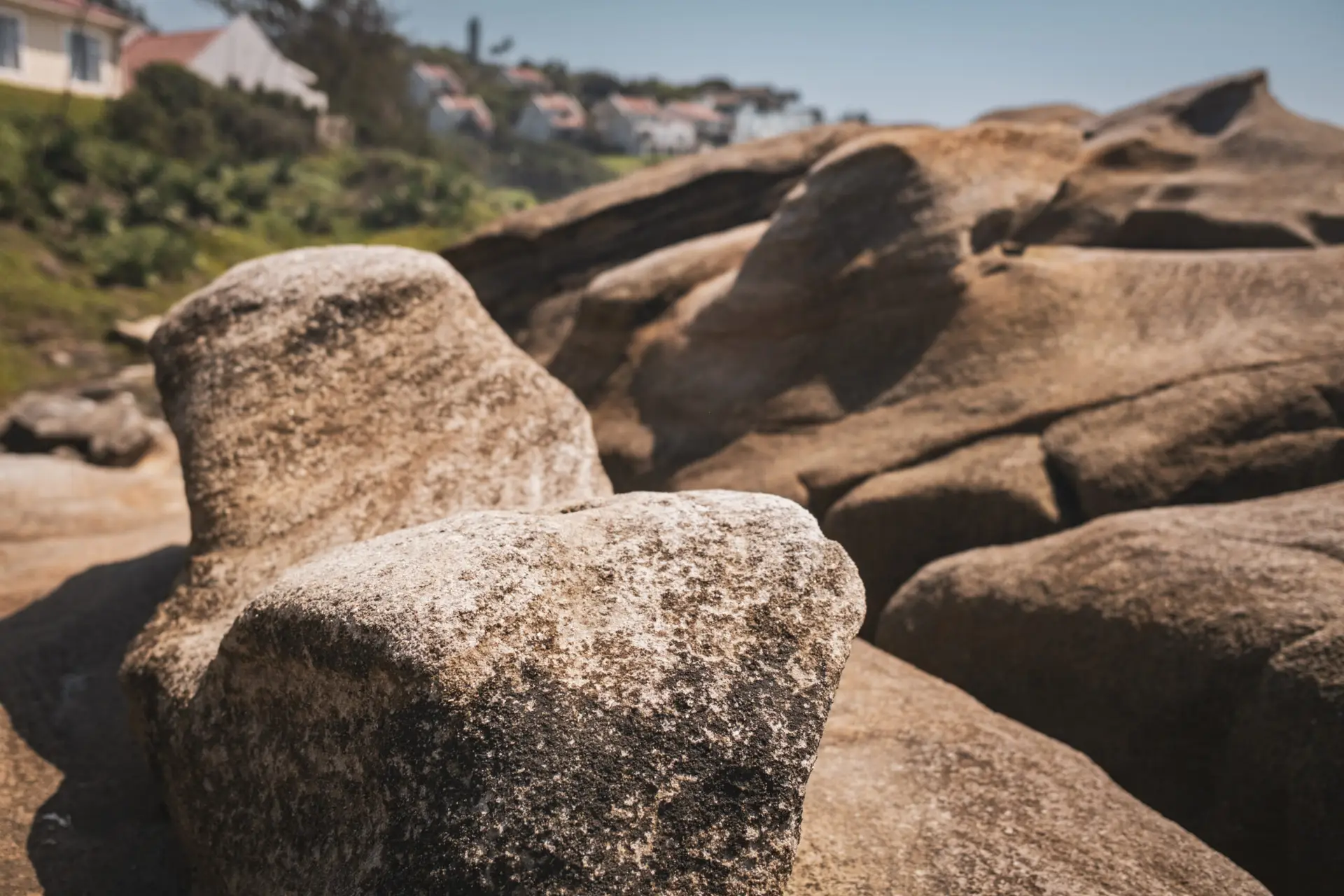
Shaka's Rock
Our journey along the historic Zulu battlefields began at Shaka’s Rock, a steep coastal cliff on the Dolphin Coast north of Durban.
The place is closely associated with the king’s name and is said to have served as a gathering point for his warriors. According to tradition, Shaka tested new formations here, inspected his men and judged their loyalty.According to legend, traitors or cowards were forced to leap into the depths, while the bravest were honoured for their courage.
Today, Shaka’s Rock is a quiet viewpoint overlooking the Indian Ocean, yet the wind still seems to carry a trace of the severity of that time. From here, our route led us onward to the places where, decades later, the fate of the Zulu Kingdom would be decided.
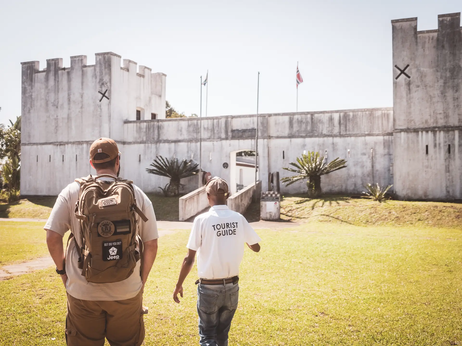
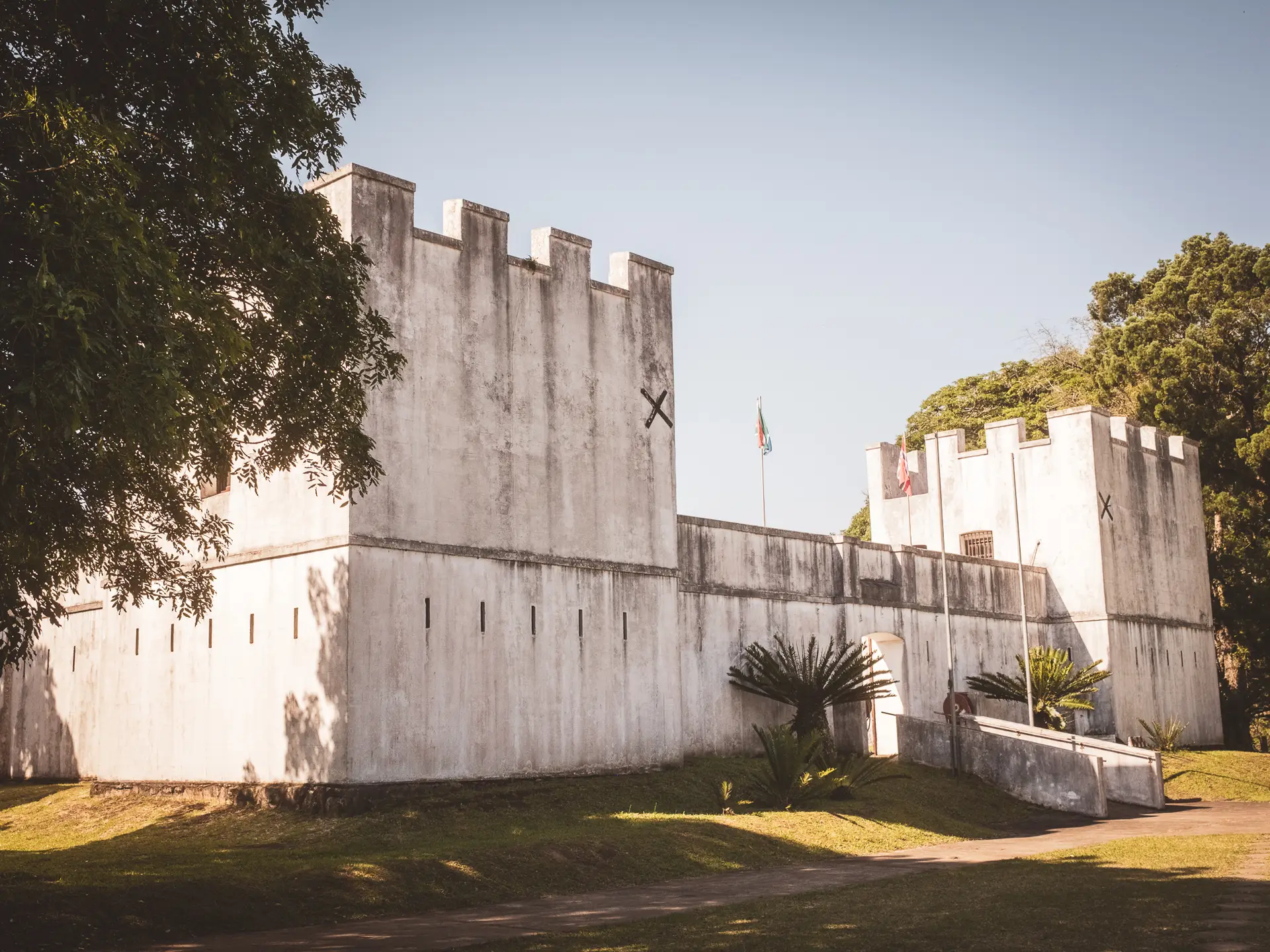
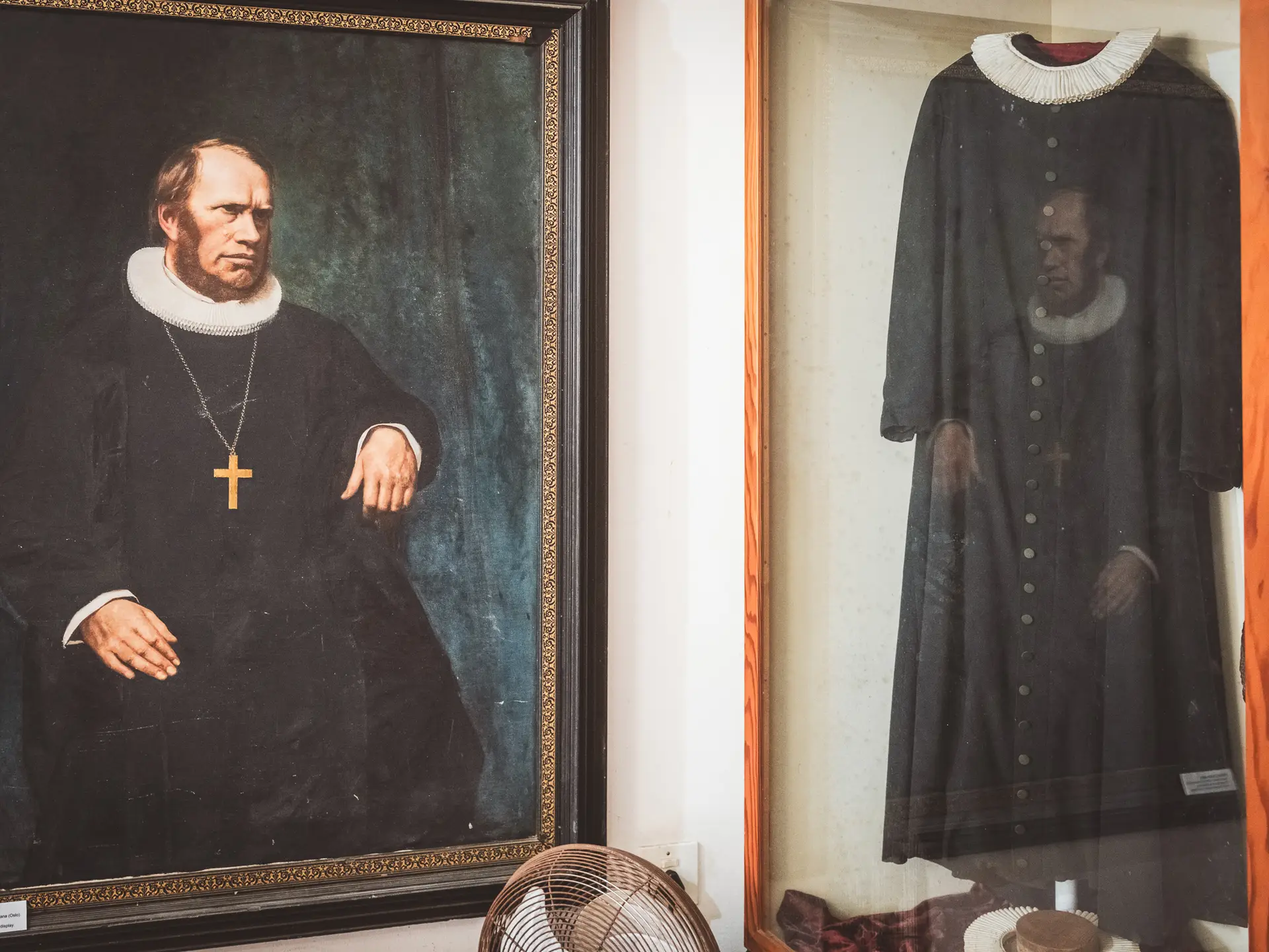
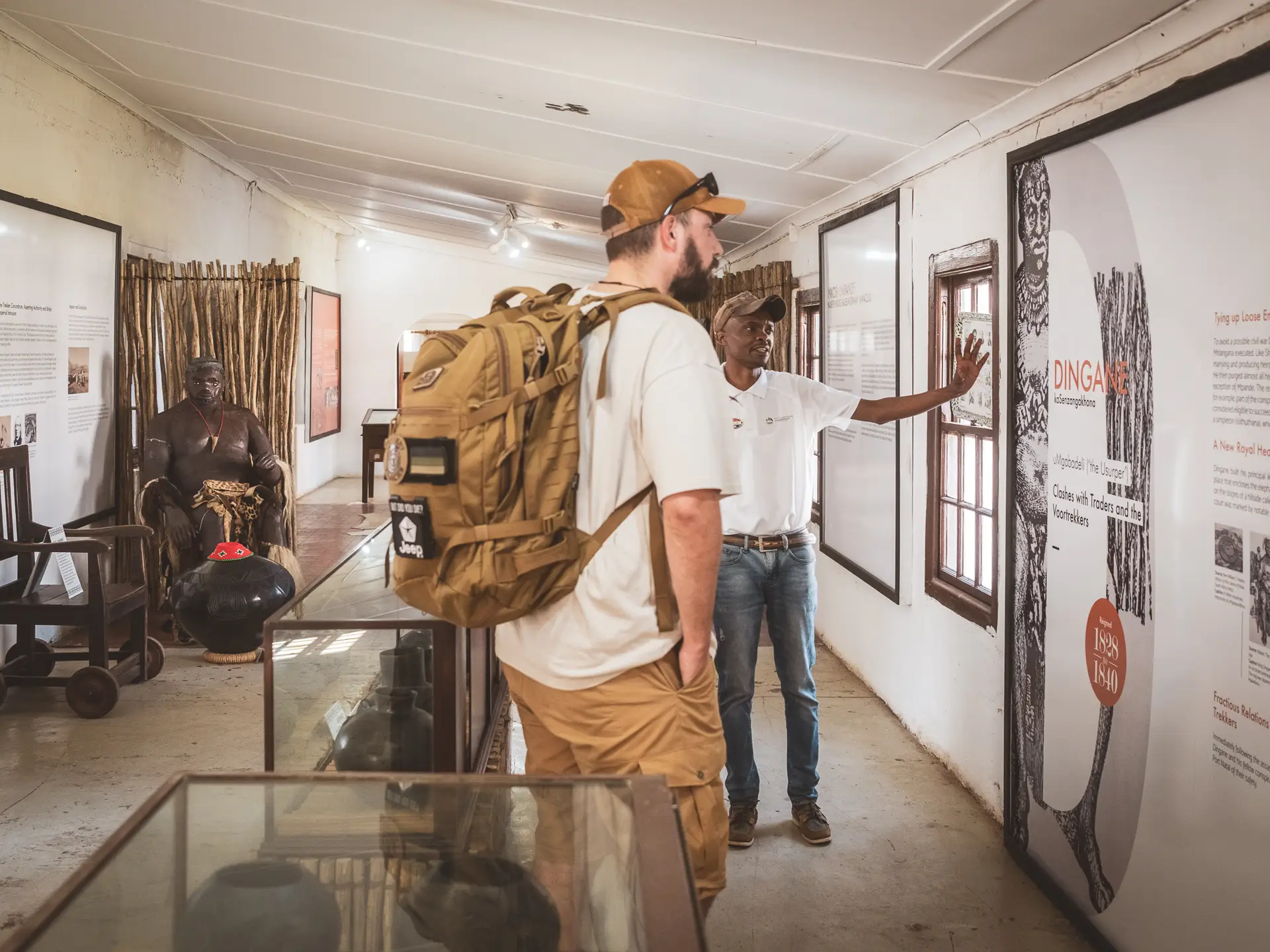
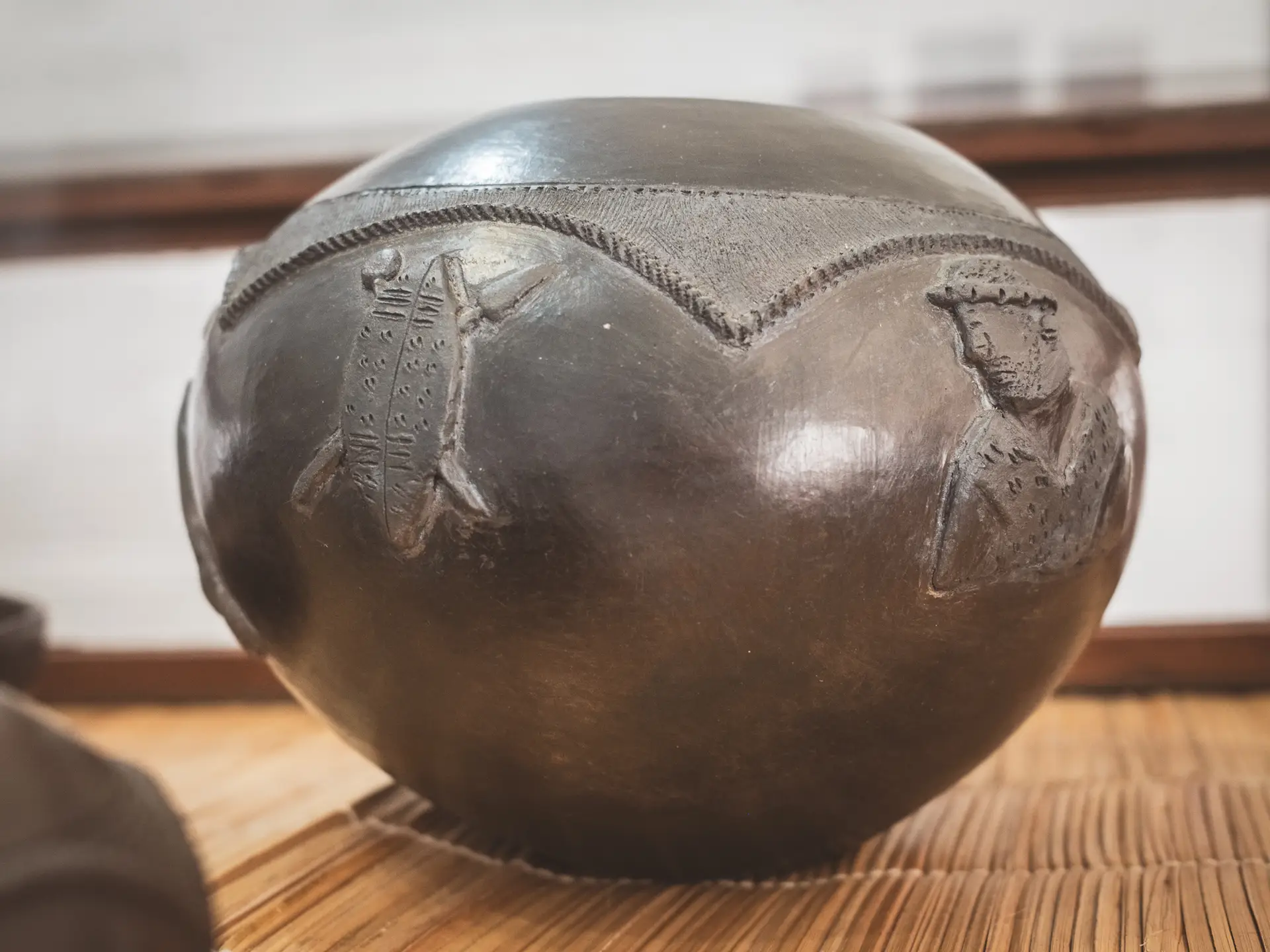
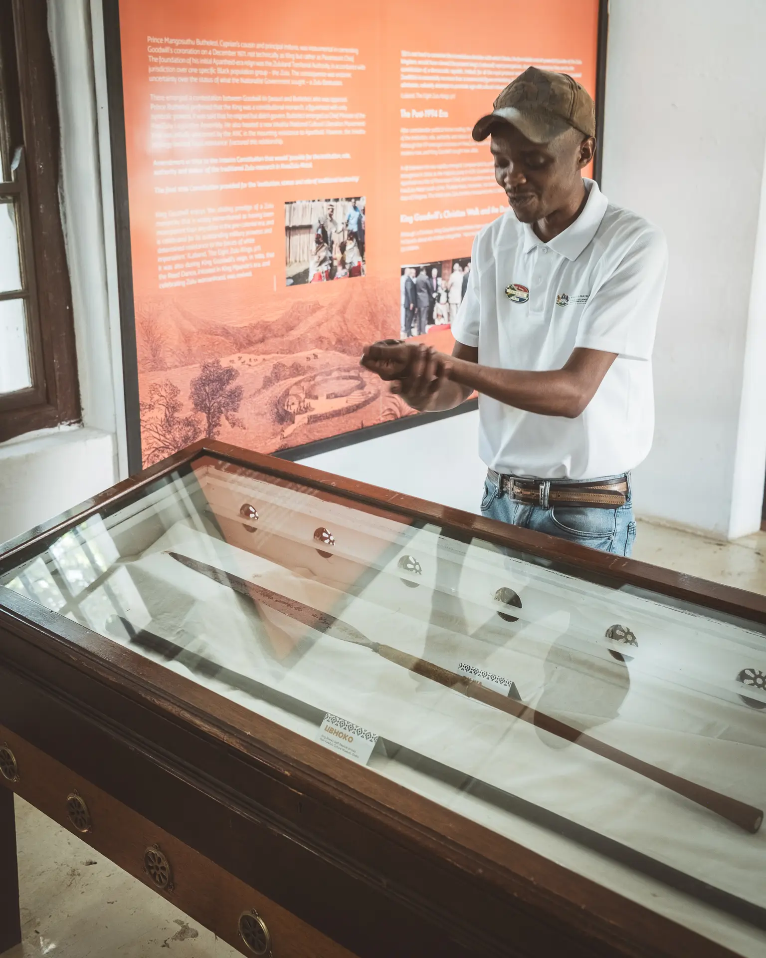
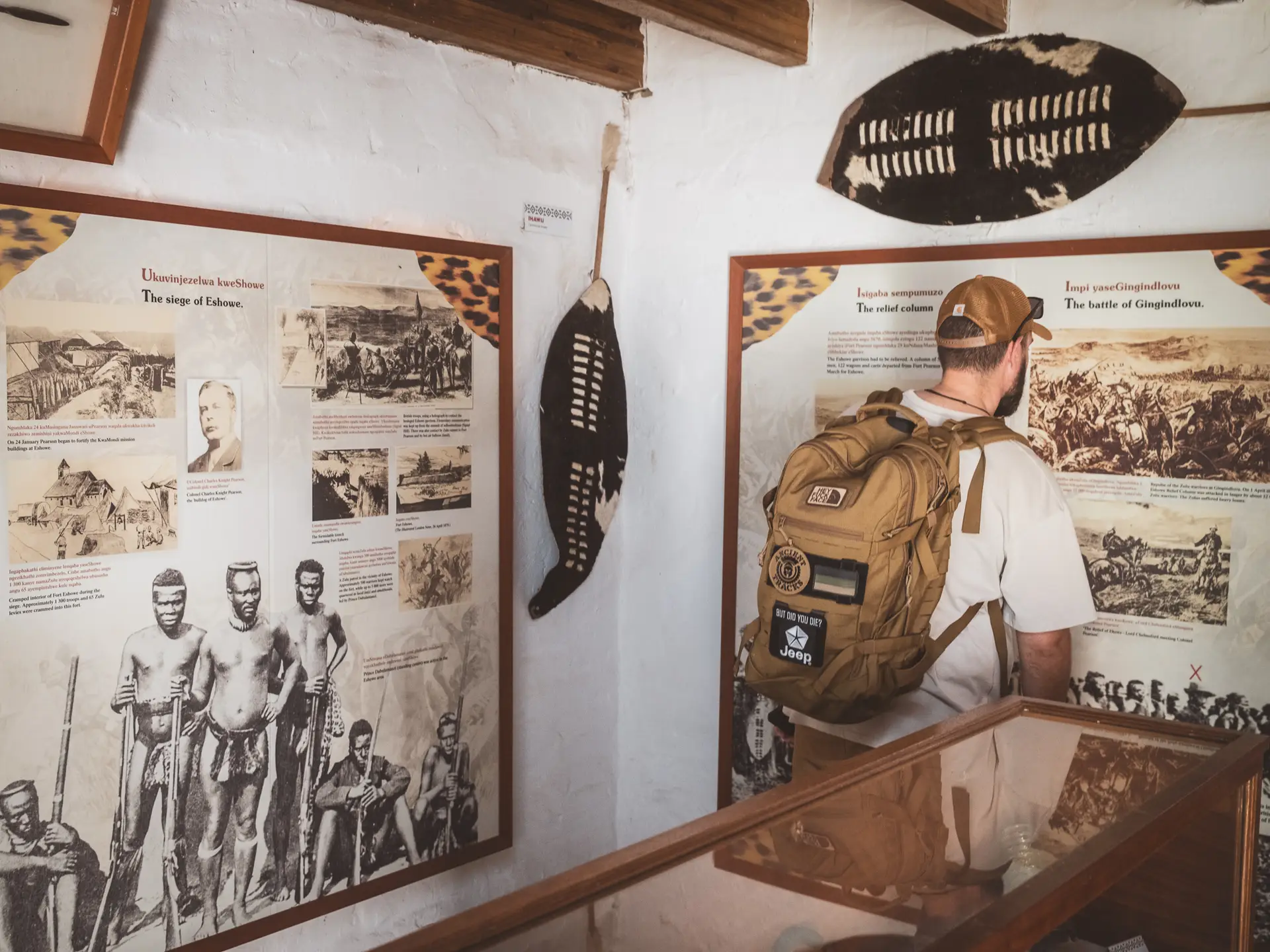
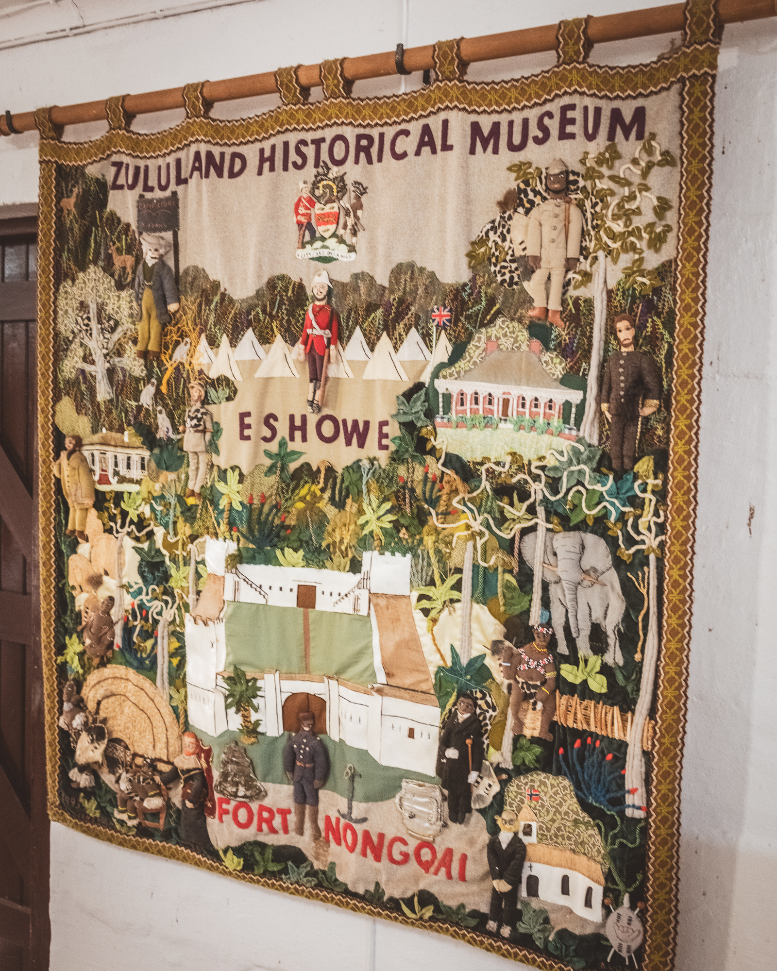
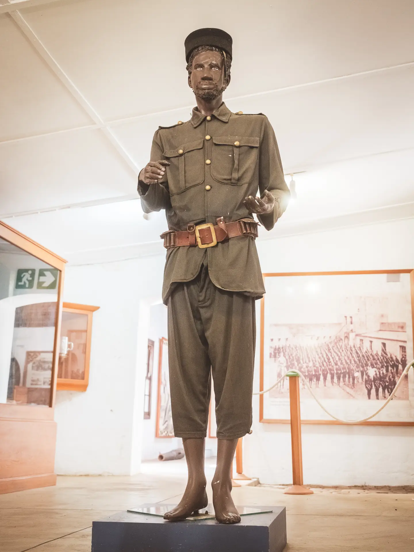
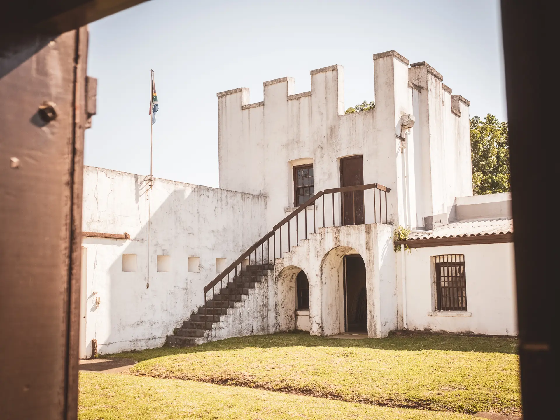
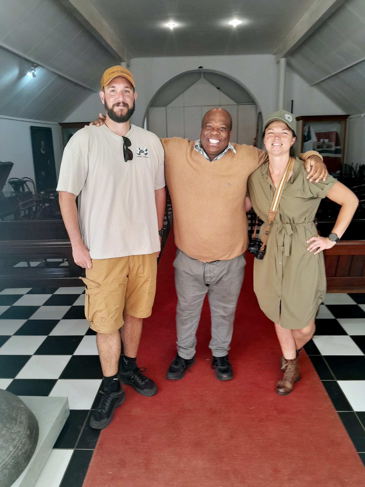
Fort Nongqayi Historical Museum
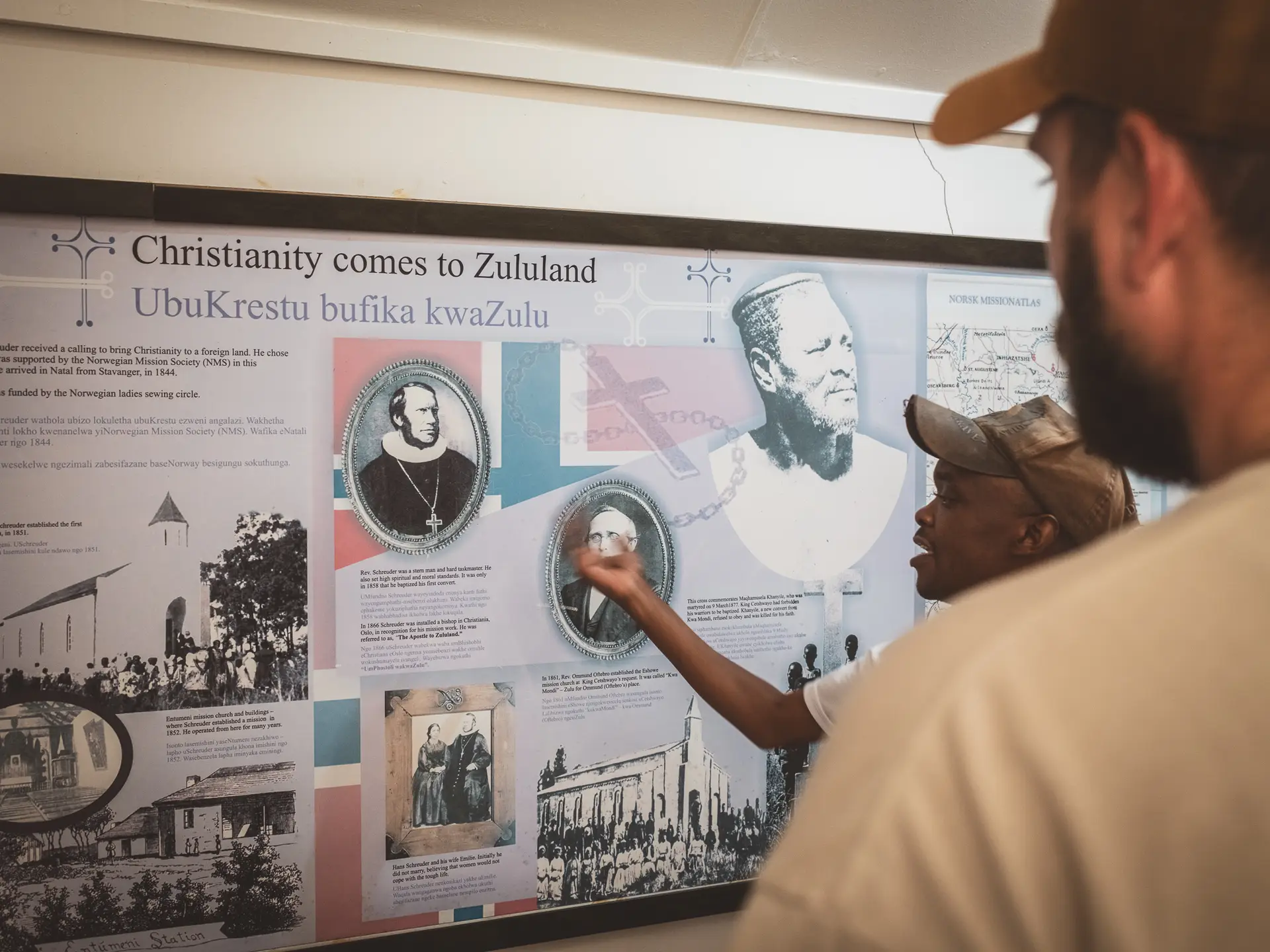
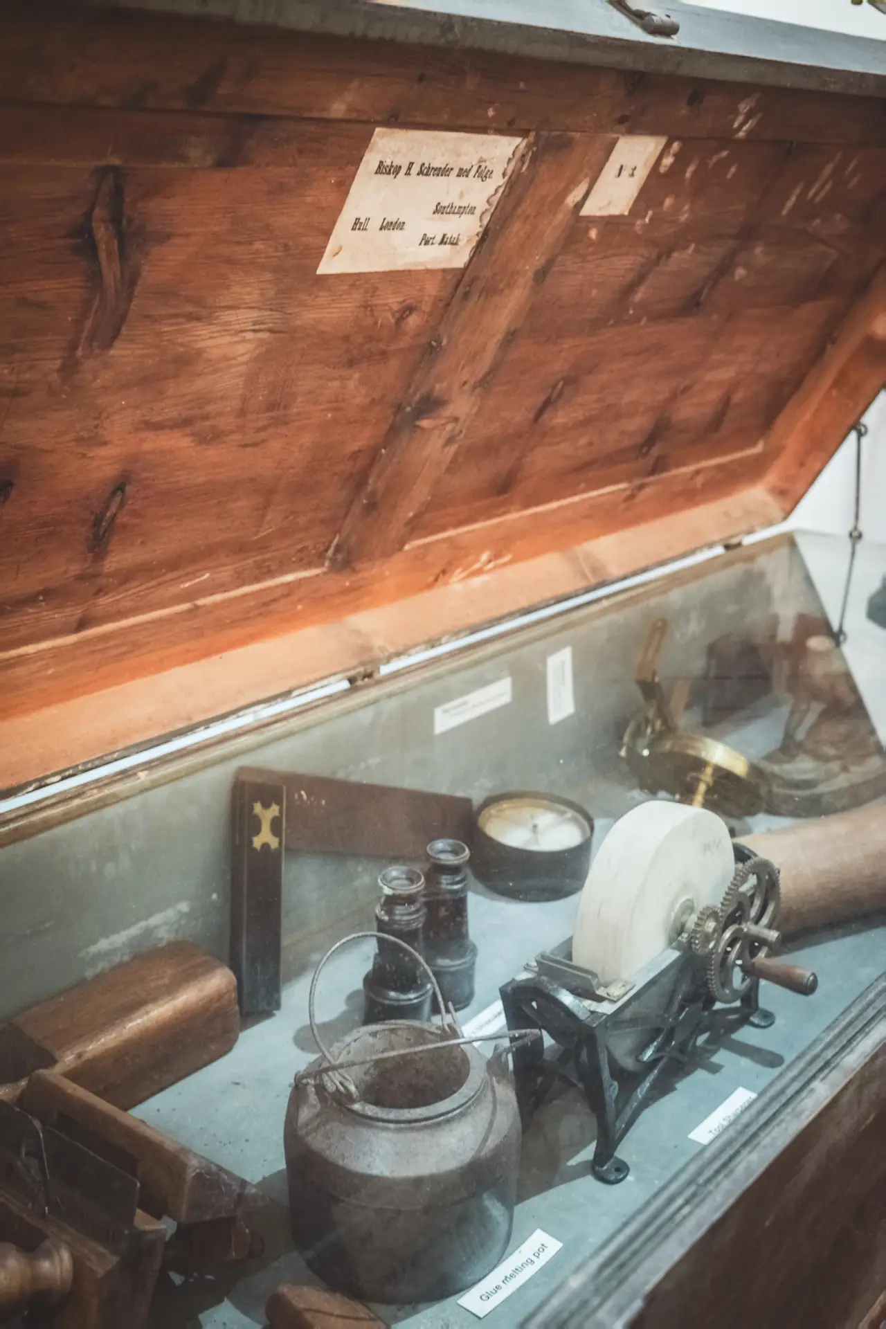
A perfect introduction to our journey was the historical museum in Eshowe. It is housed in an old British fort from 1883, which originally served the barefoot Zulu police unit known as the Nongqayi, established after the Anglo Zulu War.
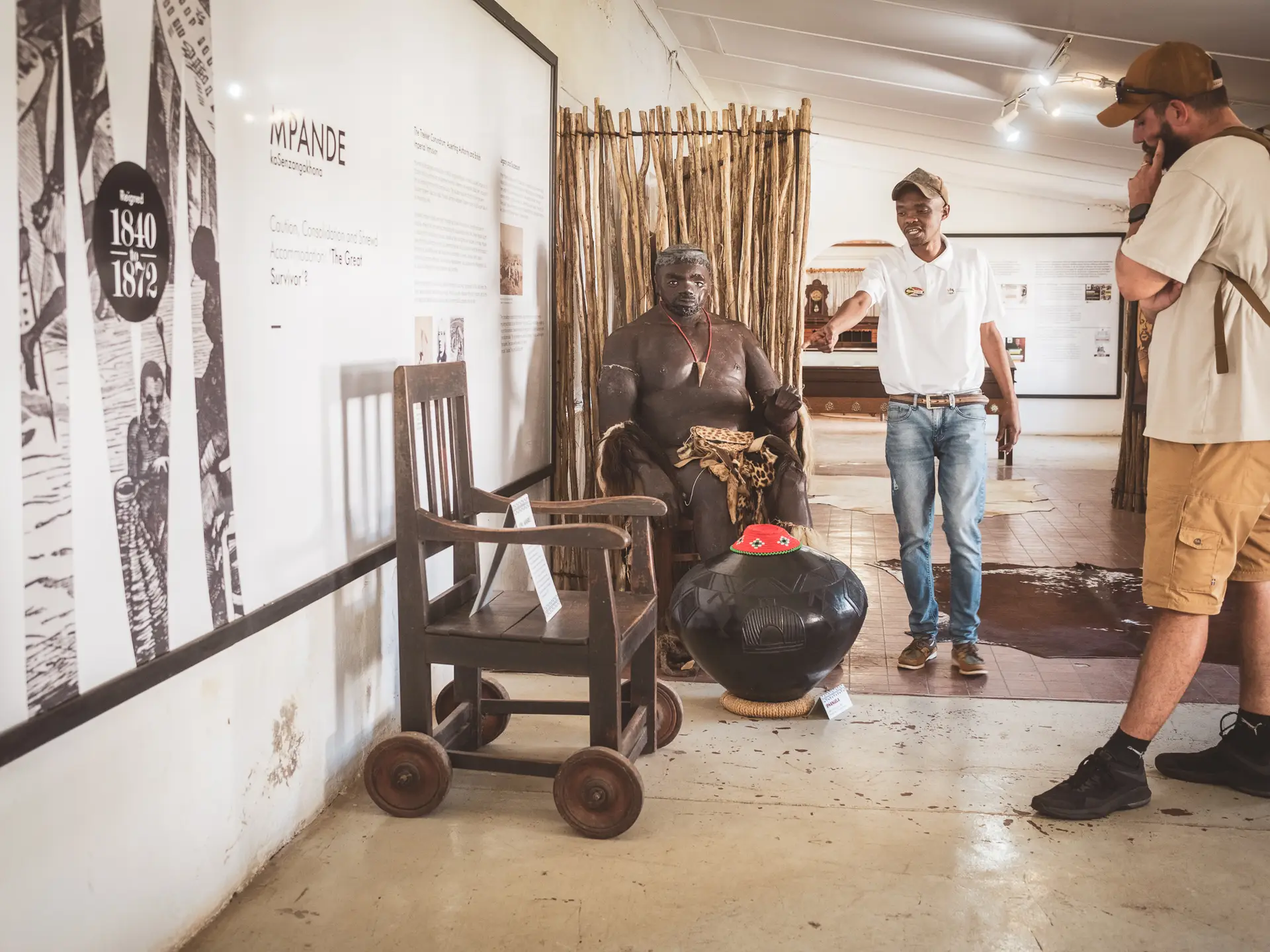
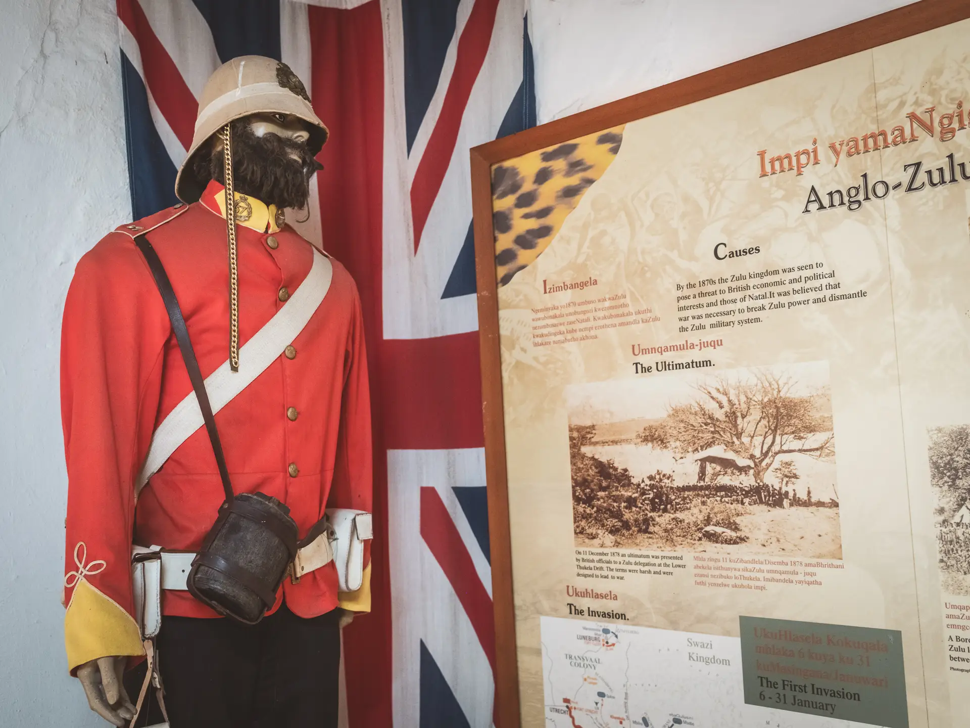
The exhibition offers a clear overview of Zulu history, from Shaka’s rise and the kings who followed him to the Anglo Zulu War and the later use of the fort.
In the reconstructed chapel you learn about the missionary history of the region and about the Norwegian Hans Schreuder, whom King Mpande allowed to establish the first mission in 1854.
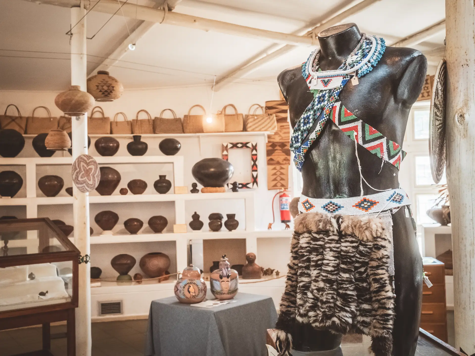
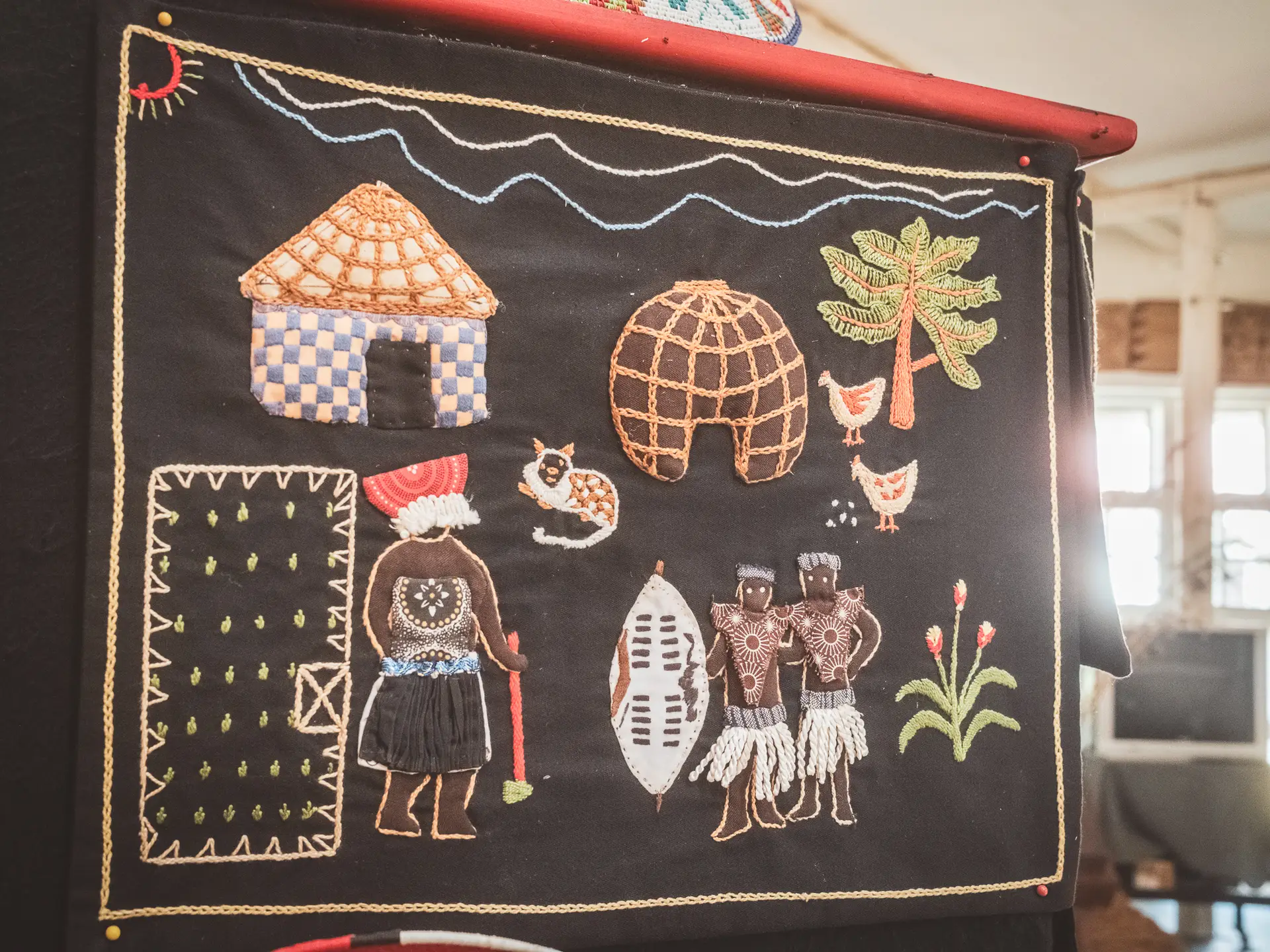
Afterwards, we visited the Vukani Craft Museum, a gallery of regional handicrafts that is part of a project aimed at reconnecting young people with traditional Zulu art.
For us, this place was the ideal starting point to understand the region and its history before exploring the sites that awaited us in the days ahead.
KwaBulawayo - Shaka's Home
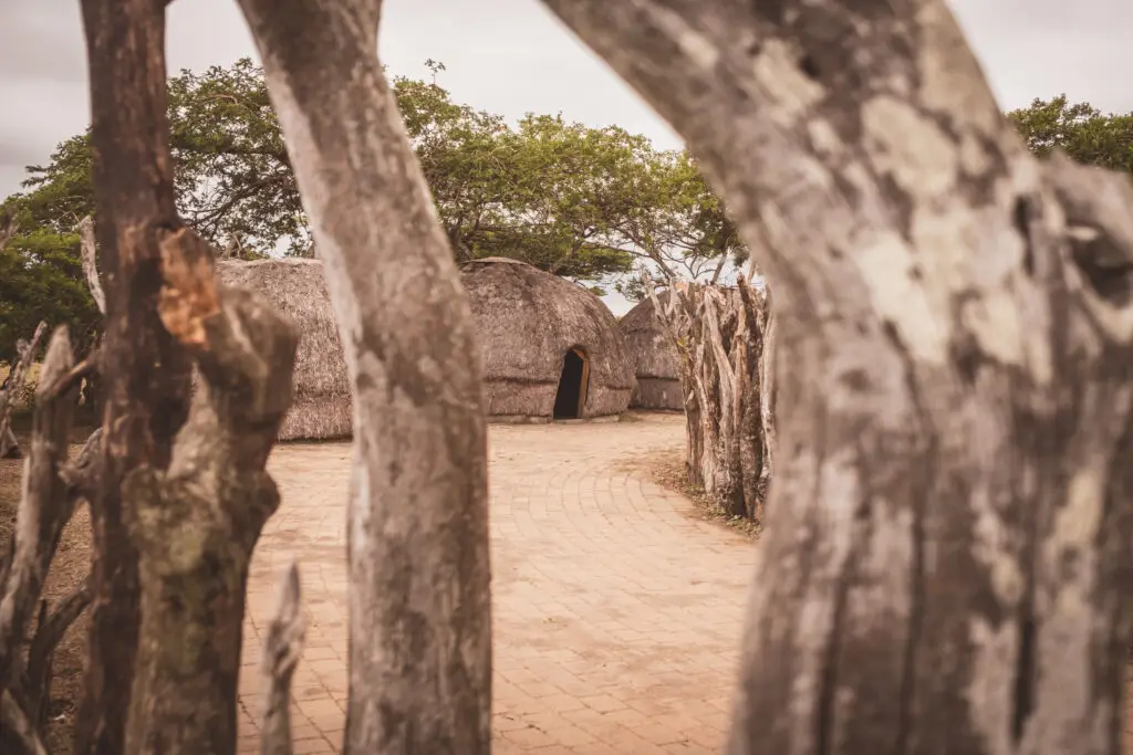
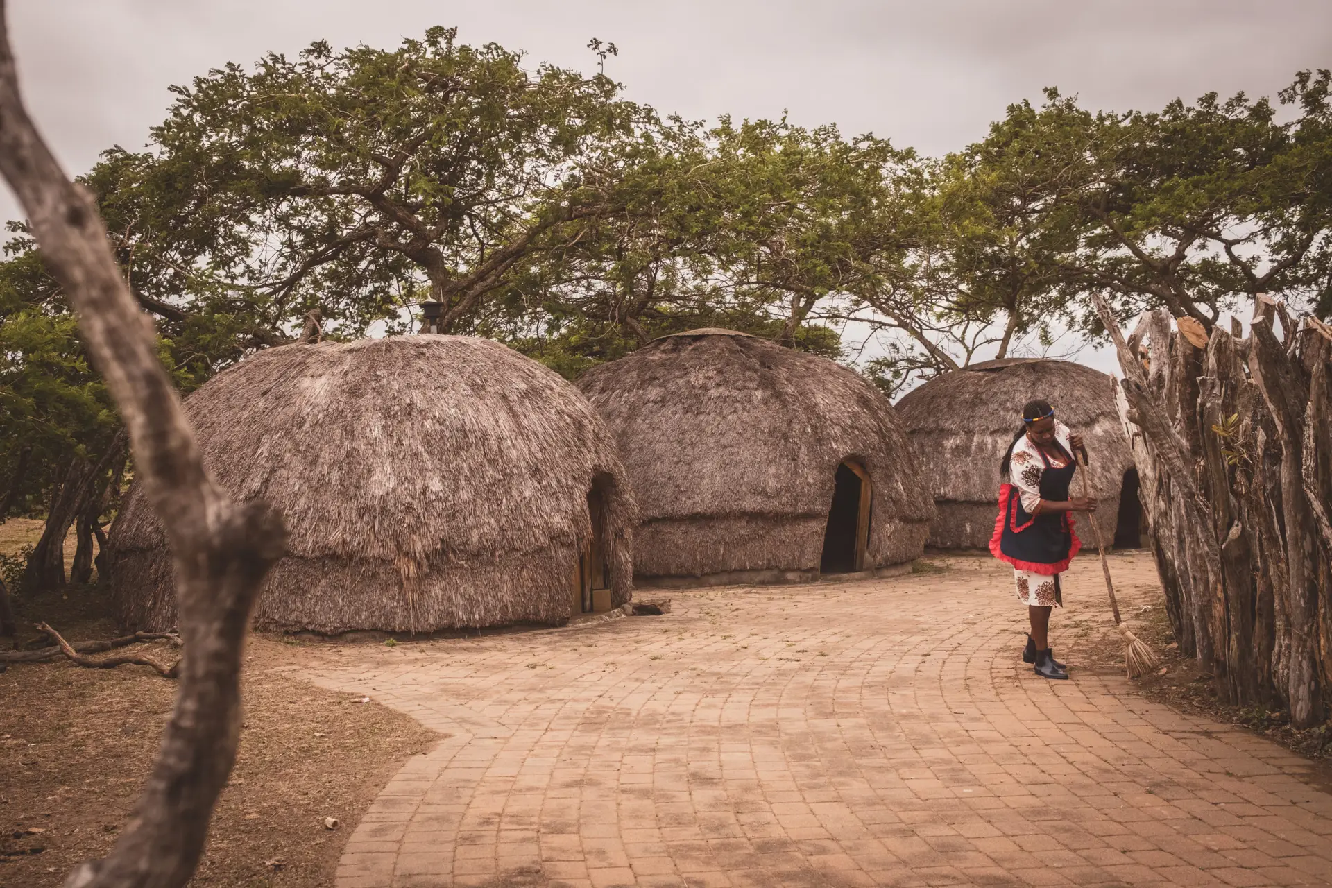
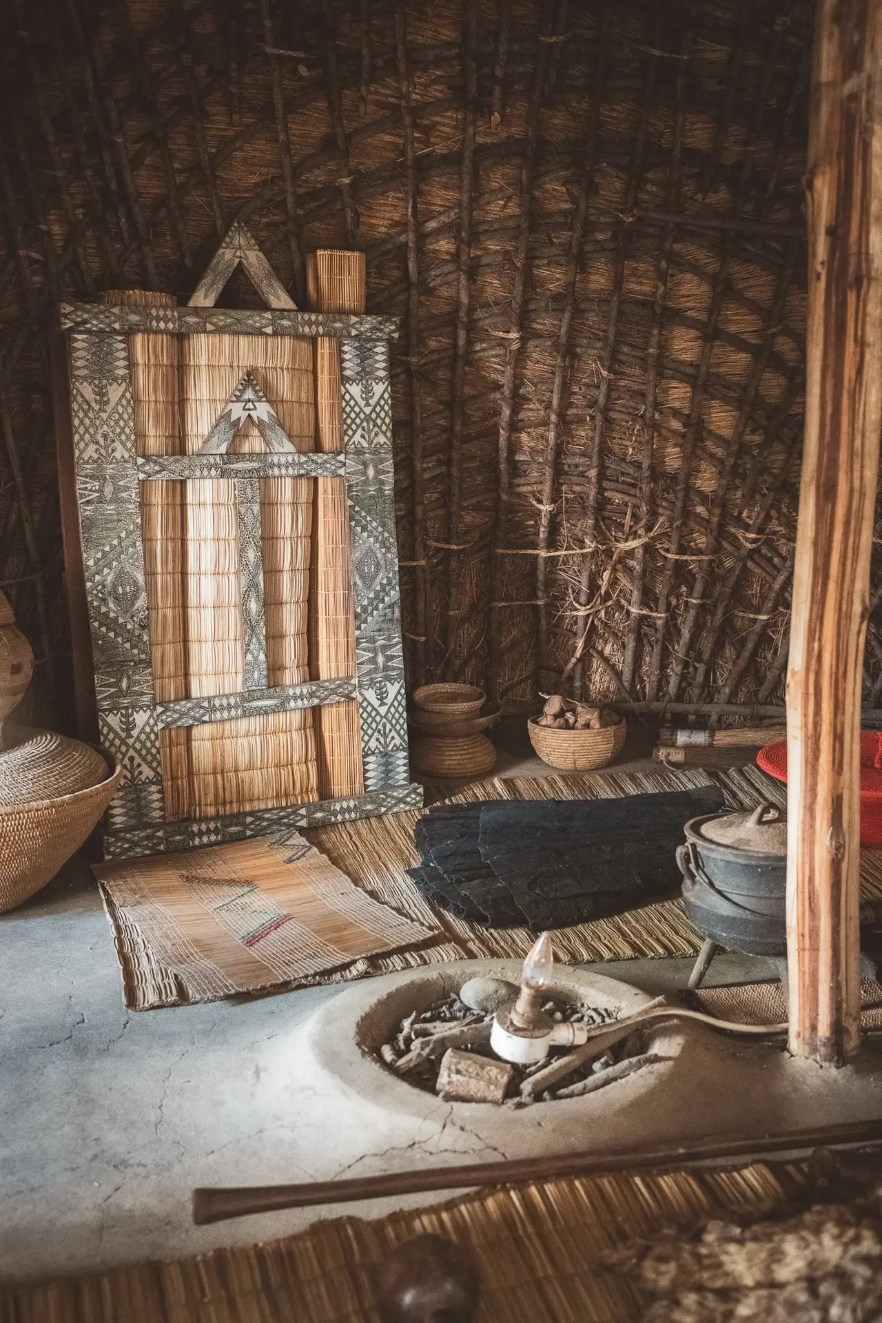
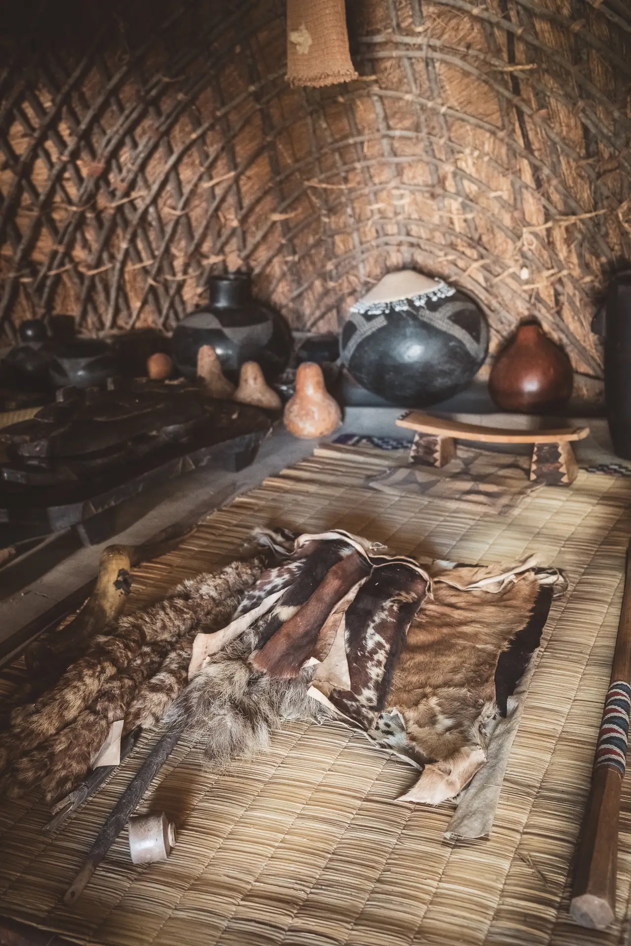
On a hill near Eshowe lies today’s KwaBulawayo Cultural Centre, built beside the original site of Shaka’s first royal homestead.
Here he shaped his warriors, developed his military reforms and laid the foundations of the Zulu Kingdom. The name kwaBulawayo means place of killing and recalls the strict discipline that marked the early years of his rule.
Visitors can see reconstructed huts and the traditional cattle kraal, although they represent only a small part of what once stood here. In the 1830s, kwaBulawayo was one of the largest settlements in Africa, with around fifteen hundred huts and a broad parade ground protected by a stockade stretching for several kilometres. The central kraal was considered a sacred space and was reserved for men. The reconstructed buildings follow classic Zulu architecture with timber frames, woven grass panels and domed thatched roofs, while the cattle enclosures preserve the circular layout typical of Zulu kraals. From here, the view opens over the Mhlatuze Valley, which once formed the centre of Shaka’s power.
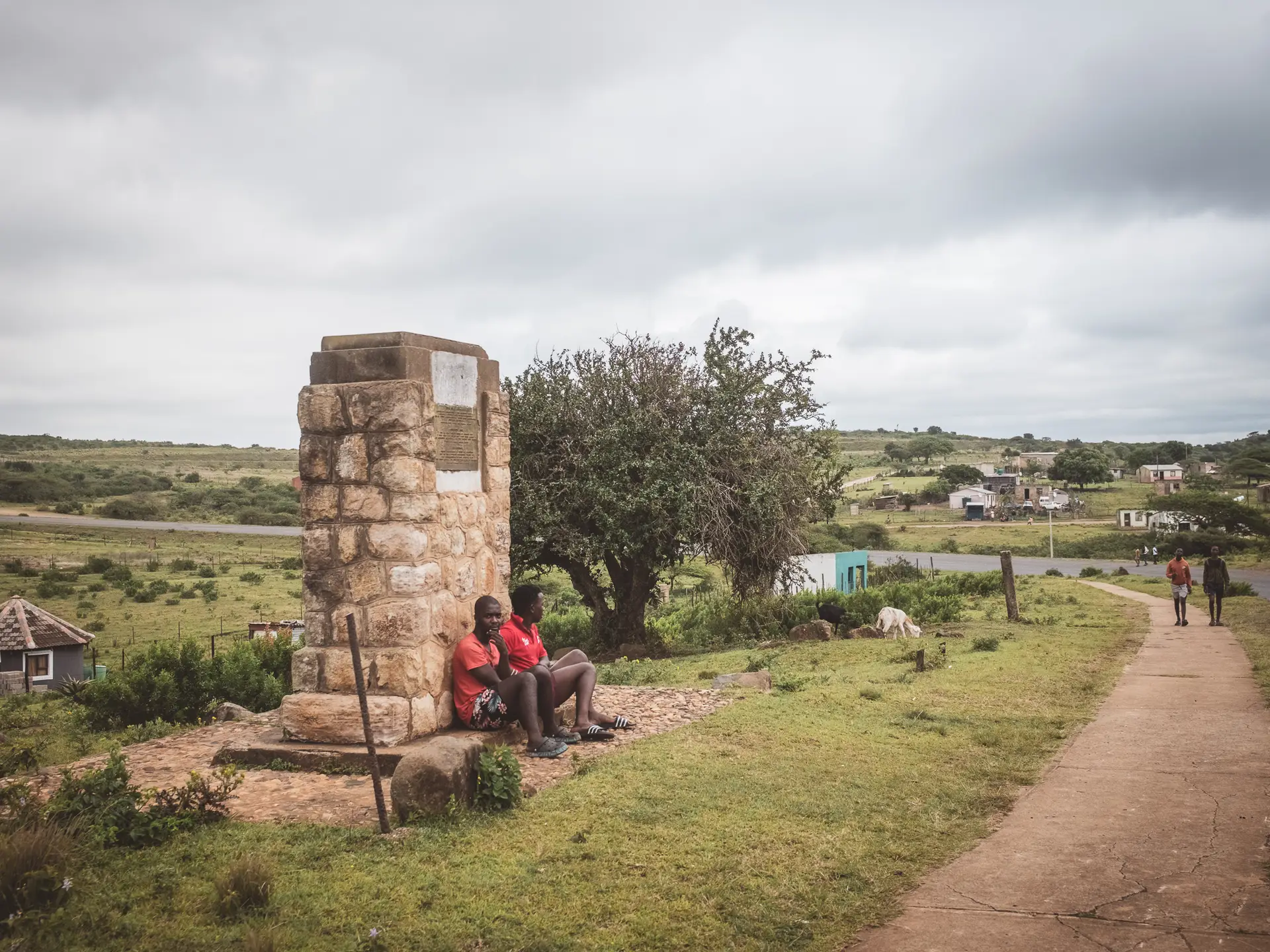
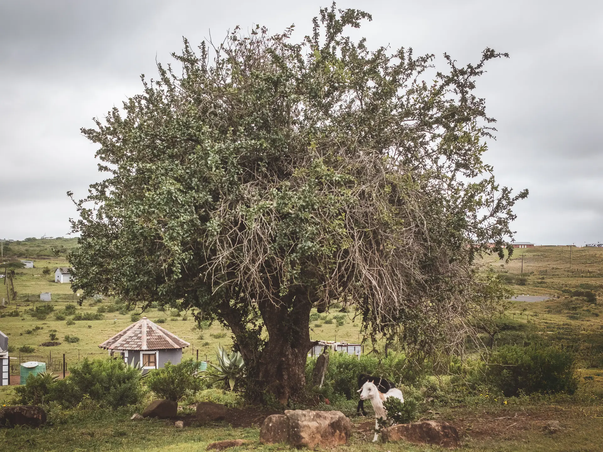
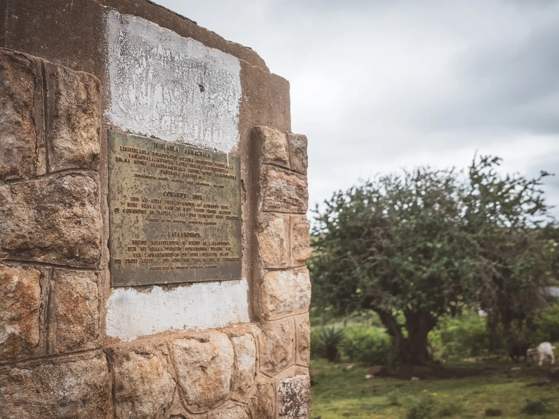
Coward's Bush
Not far from Shaka’s kraal lies another place where, according to legend, the king tested the courage of his men. Those who showed fear in his presence were said to be forced into the thorns of a Kei apple tree, which still stands on the site today. Anyone who failed even this trial was taken to kwaBulawayo, the place of killing, and executed there.
Today, a stone plinth marks the spot and bears inscriptions in Zulu, English and Afrikaans. The thorny bush still stands there, silent and unmoving, a living reminder of the severity and discipline that once shaped the lives of the Zulu warriors.
The Heirs of Shaka
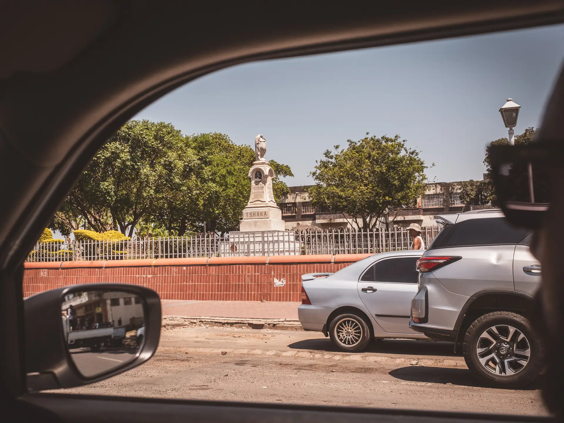
His half-brother and assassin Dingane succeeded Shaka as king, moved the capital to uMgungundlovu and tried to consolidate Shaka’s legacy. His conflict with the Boers ended in 1838 with defeat at Blood River, after which his half-brother Mpande took the throne with Boer support.
Mpande ruled for more than three decades with relative stability and preserved the kingdom despite growing European influence. After his death in 1872, Cetshwayo ascended the throne.
He rebuilt the army and restored the independence of the Zulu, yet his rise led to war with the British Empire. The victory at Isandlwana in 1879 brought brief glory but no lasting future, as the kingdom was destroyed, Cetshwayo was captured and later stripped of his authority.
More about the period after Shaka and the wars against the European powers will follow soon in upcoming blog articles.
How to get there?
- Shaka’s Rock at Google Maps,
Coordinates: 29°31’11.8″S 31°13’45.4″E - Fort Nongqayi Historical Museum at Google MapsCoordinates: 28°54’13.1″S 31°26’48.1″E
- KwaBulawayo Cultural Centre at Google MapsCoordinates: 28°46’52.1″S 31°37’27.5″E
- Coward’s Bush at Google MapsCoordinates: 28°46’32.7″S 31°37’52.4″E
You are currently viewing a placeholder content from Google Maps. To access the actual content, click the button below. Please note that doing so will share data with third-party providers.
More Information