The Locations
The Balkan 🇦🇱🇭🇷 // 06-2023
In 1991, Croatia declared its independence from communist Yugoslavia after 94.7% of voters supported independence in a referendum. The Serbs living in Croatia opposed the secession and established an internationally unrecognized republic. During the war, they were supported by the Yugoslav People's Army and Serbia. The conflict ended in 1995 with a Croatian victory. In addition to Croatia, Slovenia, Bosnia and Herzegovina, Macedonia, and Kosovo also fought for their independence during the Yugoslav Wars.
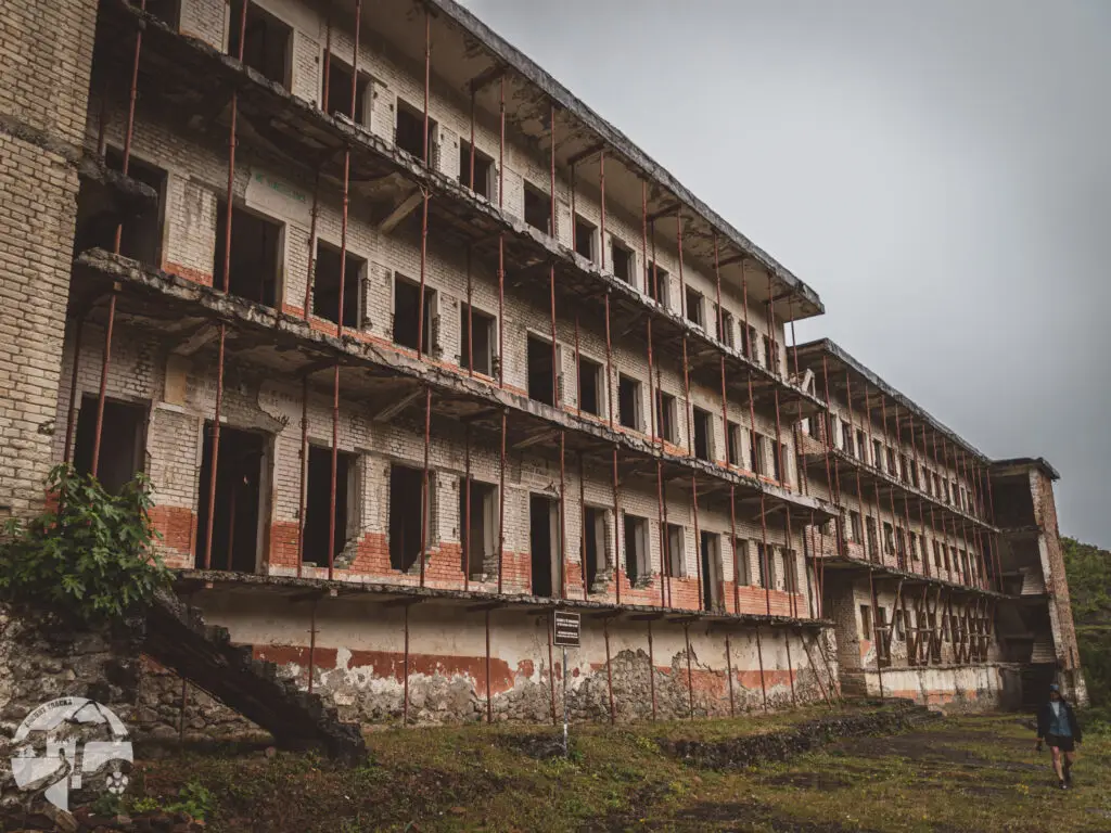
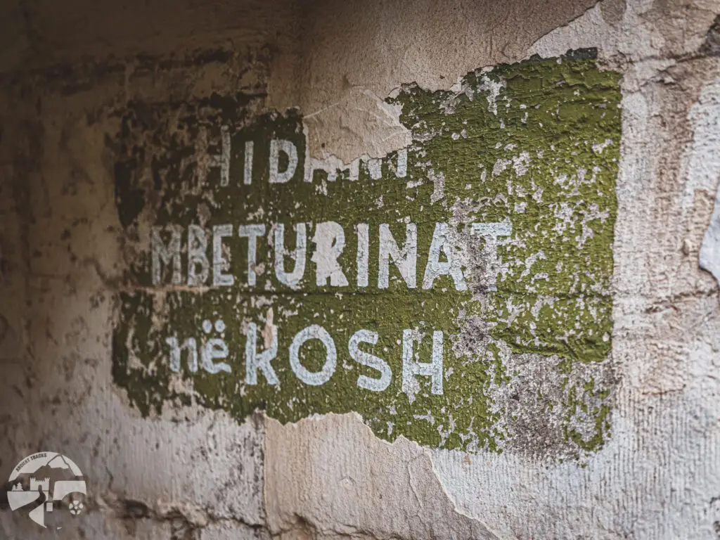
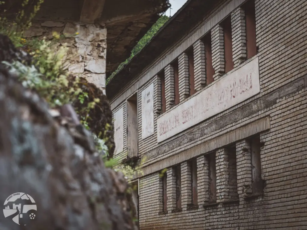
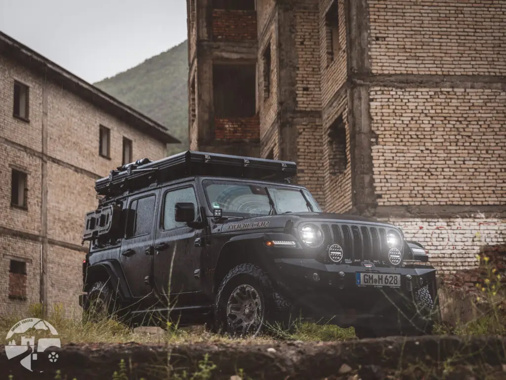
The Spaç Prison / Albania
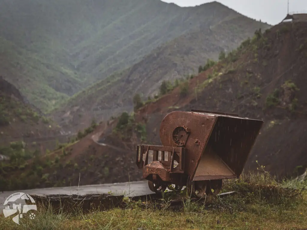
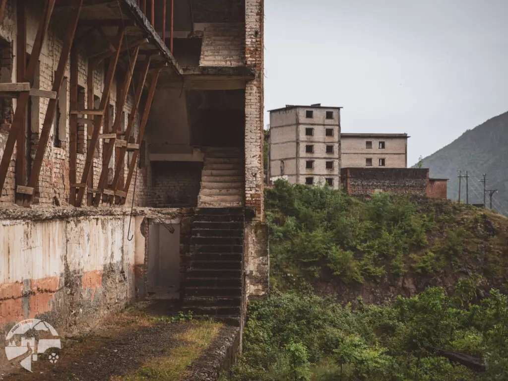
One of our off-road routes led through a copper mining area. In addition to the modern mines, we came across the former Spaç Prison, which was used as a labor camp for political opponents of the communist regime until 1991. Following the Stalinist gulag system, the prison was established in 1968. Originally built to house 400 inmates, at times it held up to 1,400 prisoners. Under hazardous conditions and poor air quality, they were forced into hours of slave labor in the mines. Many were mistreated, killed, or suffered severe injuries while working, often dying from exhaustion.
Today, the prison stands as a memorial. In 2015, the World Monuments Fund included it in its list of the 50 most endangered heritage sites. In the summer of 2017, Albania’s Minister of Culture announced plans to transform the site into a museum and restore its original structure. The first protective measures and support structures can already be seen today.
How to get there?
- The Spaç Prison on Google Maps,
Coordinates: 41°53’57.1″N 20°02’36.0″E
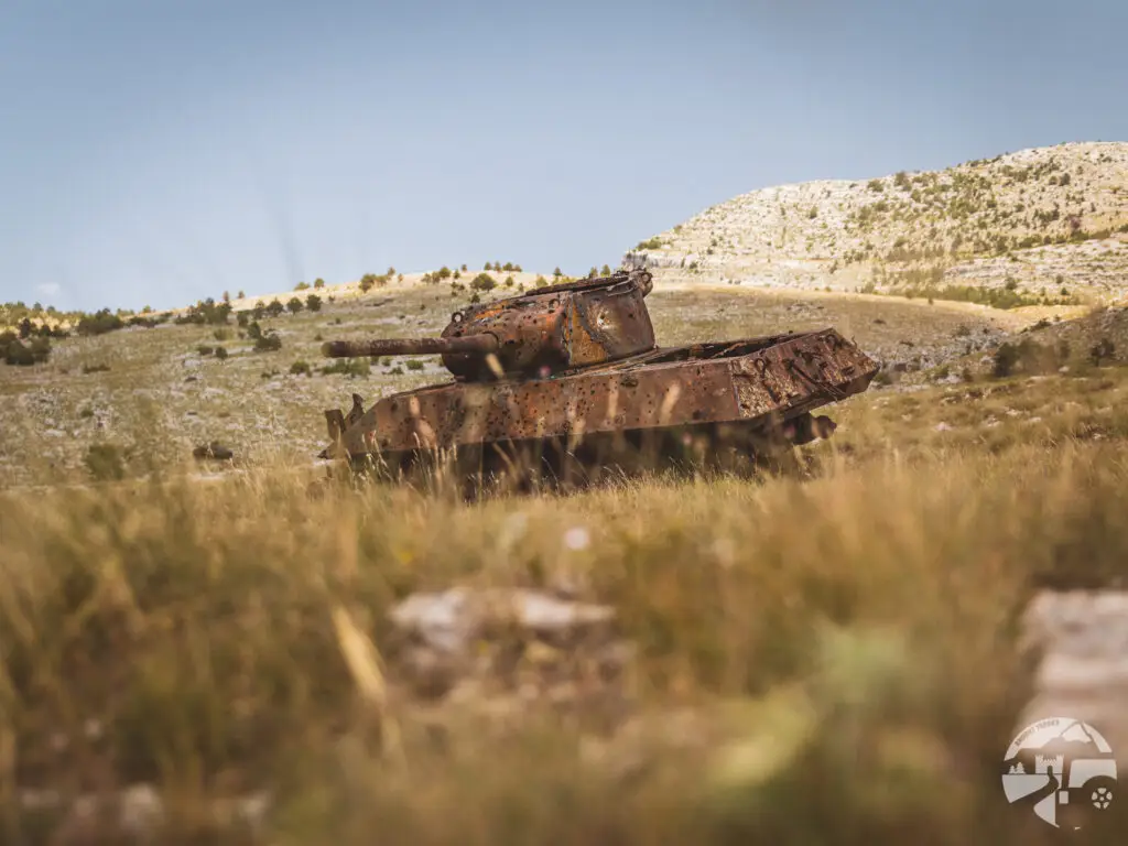
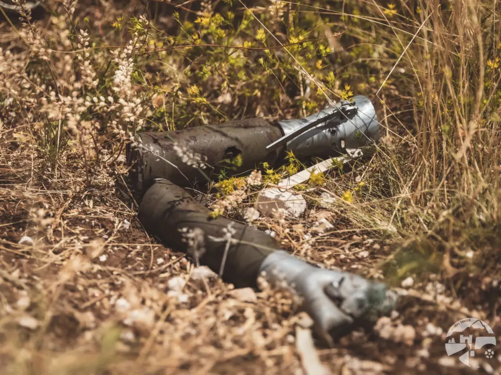
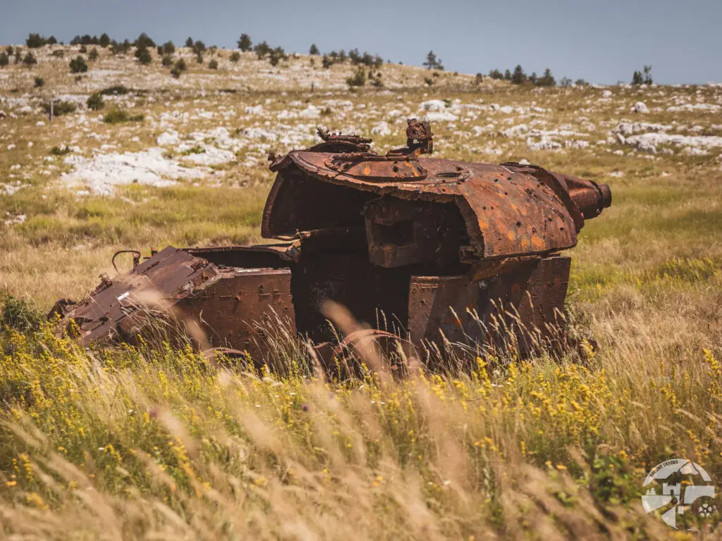
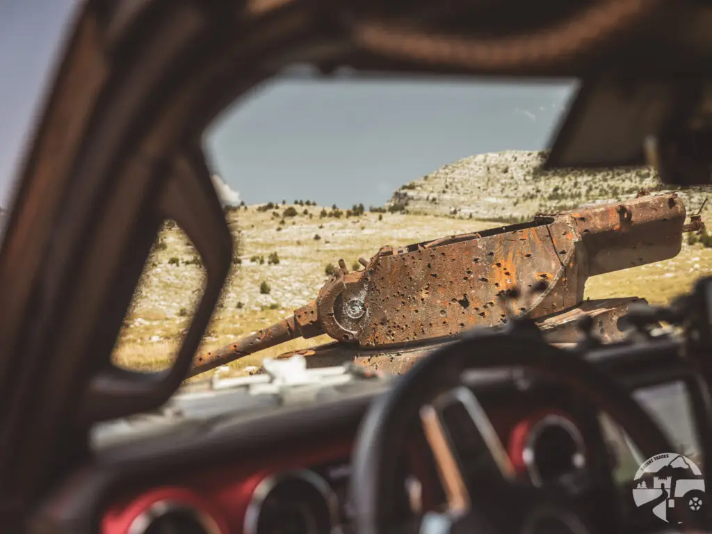
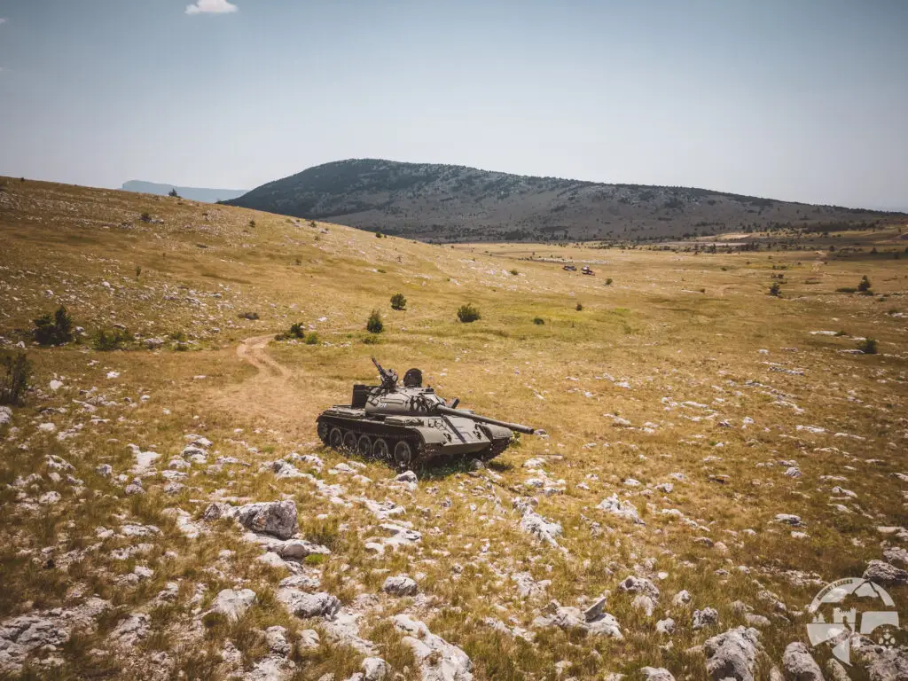
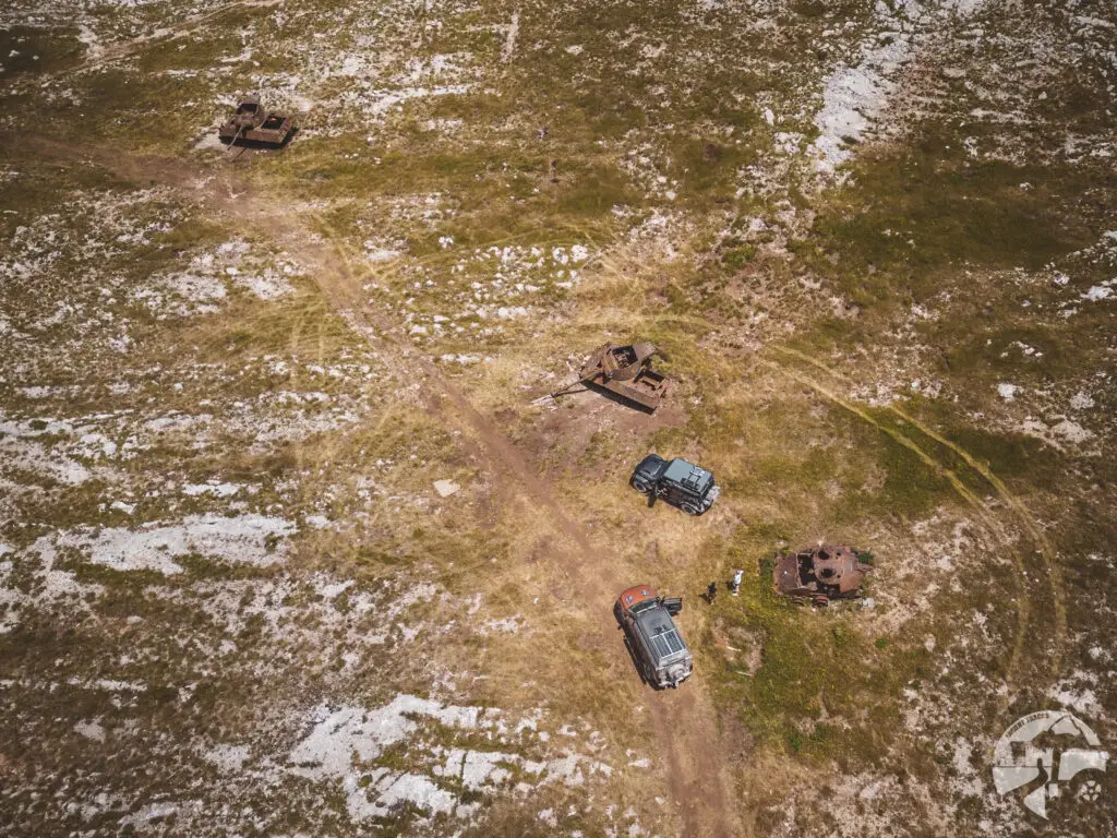
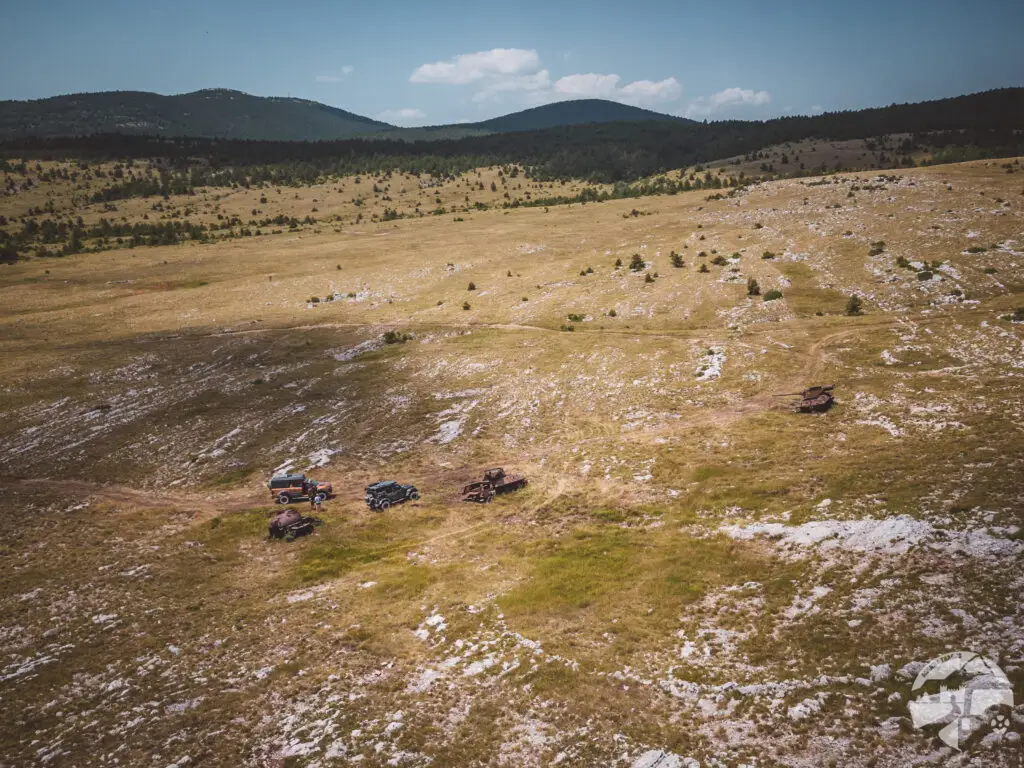
Tanks in the Mountains / Croatia
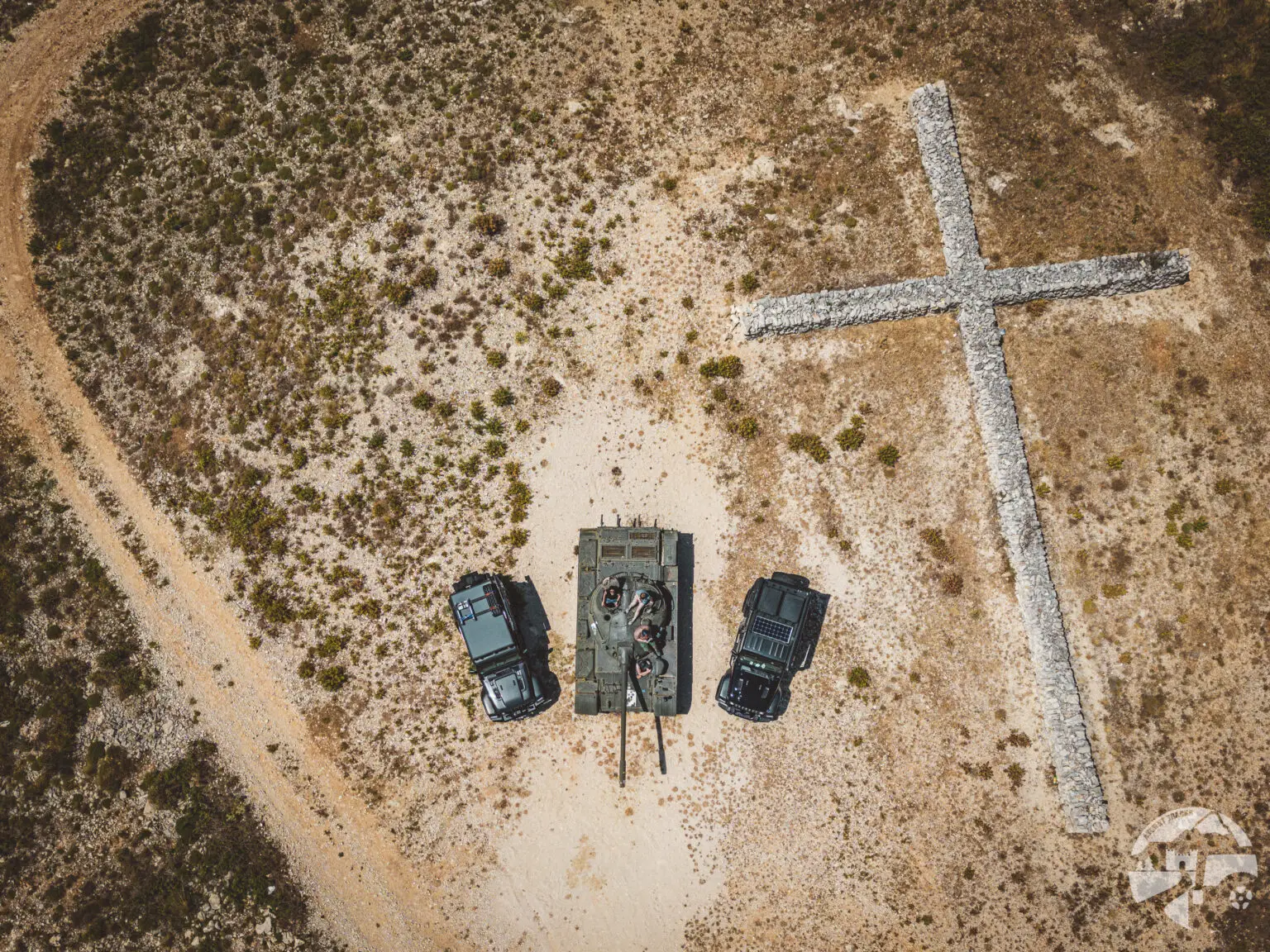
In the Dinara Mountains, you can find these relics of Operation Oluja ('Storm'). The operation is considered one of the decisive victories of the Croatian Army, ultimately leading to the end of the war.
In the years following the conflict, the wrecks were used for target practice and are now riddled with bullet holes.
Please be cautious with your tires and your footing—the area is scattered with remnants of ammunition and metal shrapnel.
How to get there?
- Coordinates: 44°05’23.9″N 16°18’17.5″E
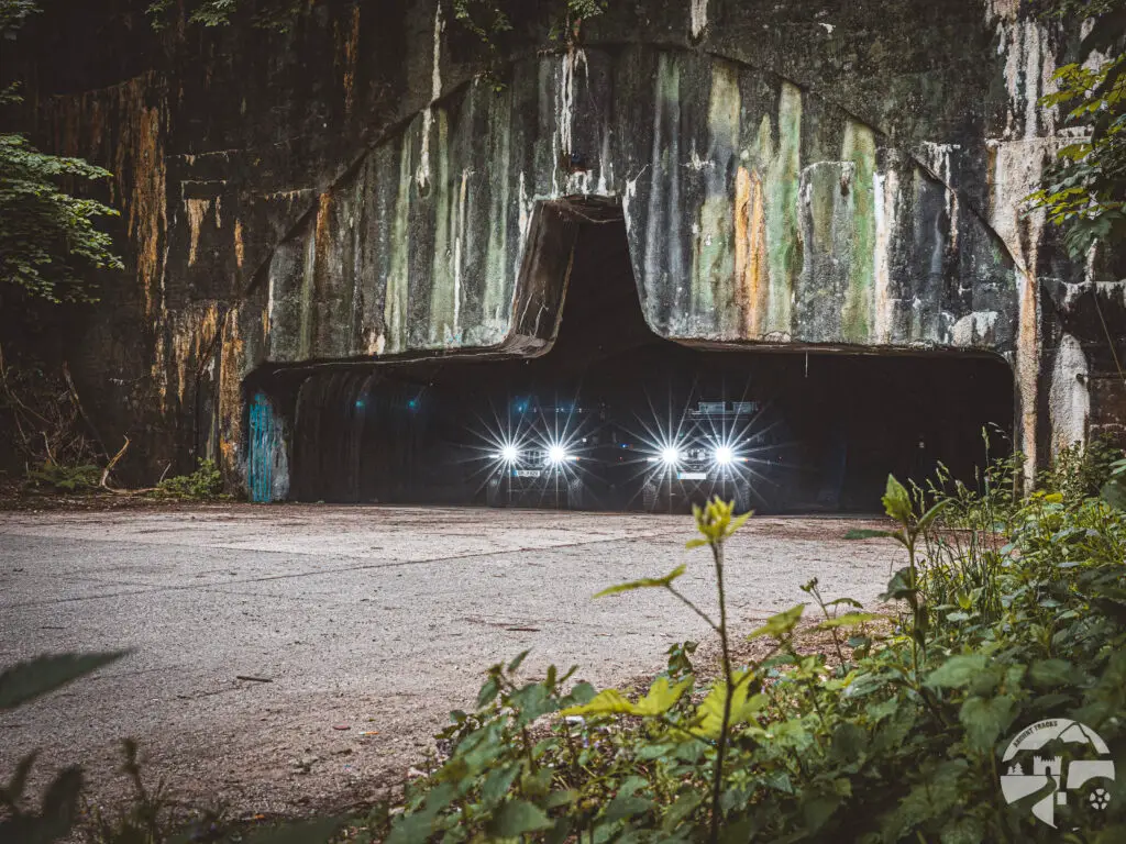
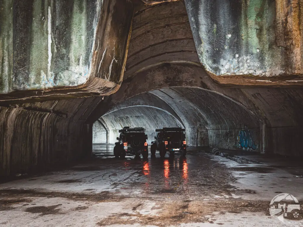
Željava Aircraft Cavern / Croatia
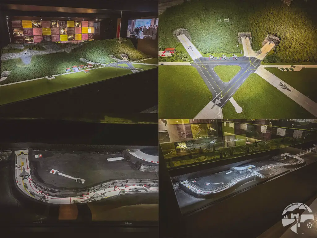
Near the village of Željava, right on the Croatian border with Bosnia, the largest aircraft cavern in Europe was built by the Yugoslav state between 1957 and 1970. It housed up to 80 MiG-21 fighter jets, 110 pilots, and 1,400 air force personnel, and was designed to withstand a nuclear attack. When the Yugoslav People’s Army withdrew from Bosnia in 1991, the cavern complex and runways were rendered unusable with a total of 56 tons of explosives.
A few weeks later, we discovered a model of the facility at the Slovenian Park of Military History Pivka museum. It’s incredible how massive this underground structure was.
Today, Željava has become one of the most well-known photo spots in the overlanding scene. During our visit, a film crew was present, shooting a documentary on the Hidden Places of Croatia. 🤫
How to get there?
- Željava Aircraft Cavern on Google Maps,
Coordinates: 44°50’12.8″N 15°45’26.8″E
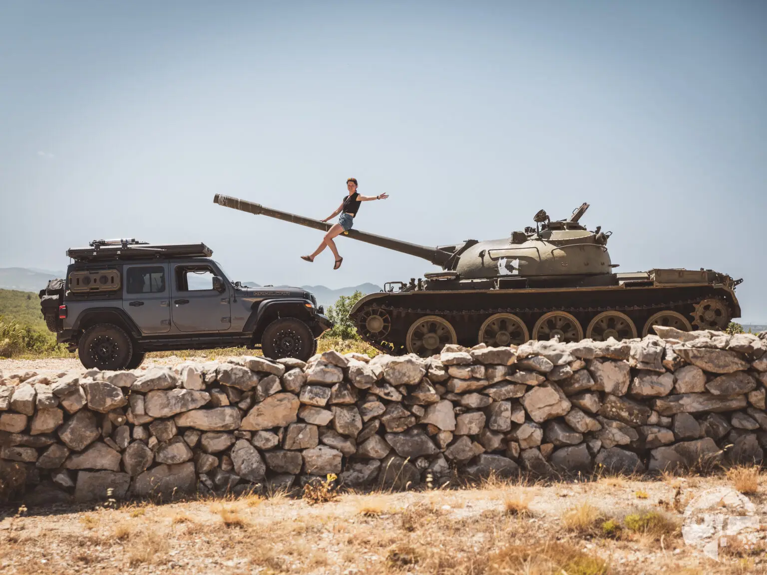
T-55 Tank / Croatia
How to get there?
- T-55 on Google Maps,
Coordinates: 44°05’30.5″N 15°17’29.0″E
